Old Maps of Hopkins Township, Michigan for Genealogy
Trace your family roots with 30 historic maps of Hopkins Township. These high-res maps reveal old neighborhoods, homesites, landmarks, and streets — helping you uncover where your ancestors lived and how the area evolved over time.
- Explore historic neighborhoods: Identify where your relatives may have lived in the 1800s or 1900s.
- Compare maps over time: Trace the changes in streets, buildings, and landmarks for multi-generational research.
- Perfect for genealogy & ancestry research: Used by family historians and researchers to map out lineage and migration.
These maps are an incredible resource for exploring your personal connection to Hopkins Township's past.
Hopkins Township, MI maps
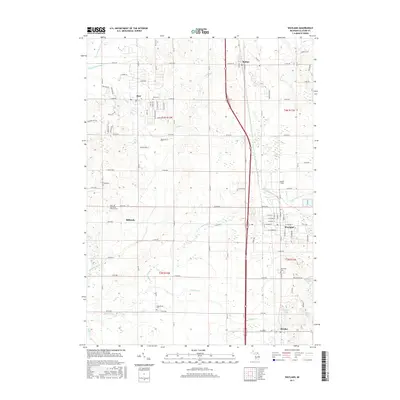
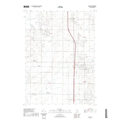
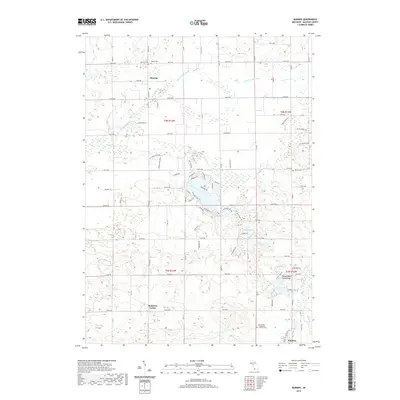
(30)- 1958 Map of Allegan, 1959 Print
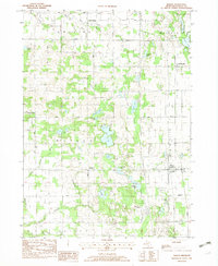
 1958 Allegan1959 Print · USGSAllegan and the surrounding Michigan countryside are captured here in the late fifties, showcasing a landscape of river-fed industry and deep-wooded preserves. Genealogists can trace family roots through dozens of local landmarks like Maple Grove Sch, the Indian Mission, and the Oversel Cem.2 unique versions available
 - 1958 Map of Grand Rapids, 1973 Print
 1958 Grand Rapids1973 Print · USGSSouthern Michigan at the peak of the postwar era shows a landscape of burgeoning cities and new interstate highways. Trace family roots and regional growth in Grand Rapids, Battle Creek, and the glacial lake country around Gun Lake or Gull Lake.2 unique versions available
 - 1959 Map of Wayland
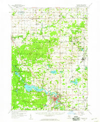
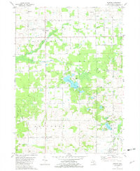
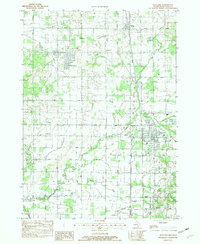
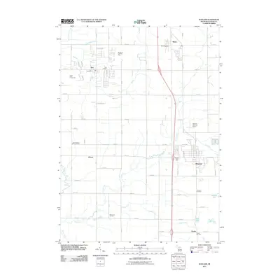
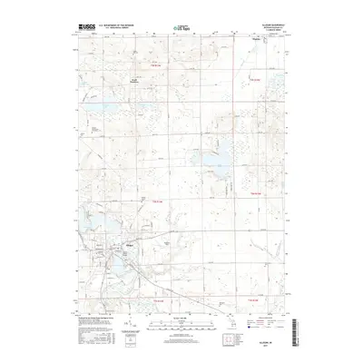
 1959 Wayland1959 Print · USGSAllegan and Barry counties at the end of the fifties show a landscape of thriving rail towns and lakeside summer retreats. Genealogists and local historians can trace family-named sites like Bowens Mill, rural parish schools such as St Stanislaus Sch, and the numerous islands of Gun Lake.2 unique versions available
 - 1961 Map of Grand Rapids
 1961 Grand Rapids1961 Print · USGSSouthern Michigan at the dawn of the 1960s reveals a region shaped by major river systems and a robust rail network. Trace mid-century industrial growth and land use from Grand Rapids to the Fort Custer Military Reservation and Gun Lake.
 - 1962 Map of Grand Rapids
 1962 Grand Rapids1962 Print · USGSMid-century Southern Michigan is mapped here at a time of massive growth, showing the expanding urban footprints of Grand Rapids and Lansing. Researchers can trace the legacy of the Grand Trunk Western RR, find historic boundaries of the Fort Custer Military Reservation, or locate sporting camps around Gun Lake.2 unique versions available
 - 1981 Map of Allegan
 1981 Allegan1981 Print · USGSAllegan and the surrounding townships are captured in the late 1970s as the riverfront city remained a focal point of county life. Genealogists and historians can trace family locations through several rural burial grounds like Oakwood Cem and Hudson Corners Cem, alongside the Old Railroad Grade.
 - 1981 Map of Burnips, 1982 Print
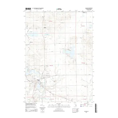
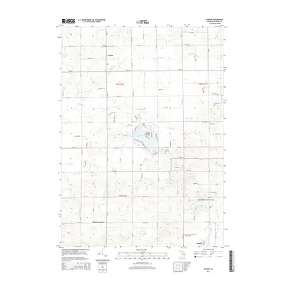
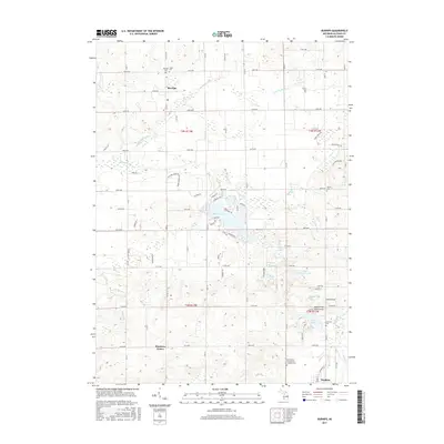
 1981 Burnips1982 Print · USGSAllegan County in the late seventies is captured here as a mix of traditional farm life and an active Oil and Gas Field. Researchers can trace old family names at Burnips Cem or locate rural landmarks like the Indian Mission and St Pauls Sch.
 - 1982 Map of Martin
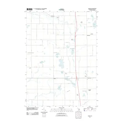
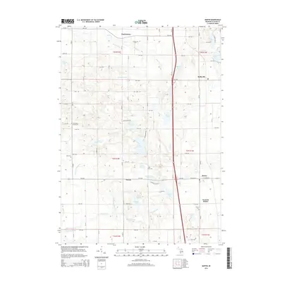
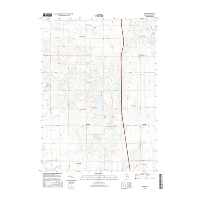
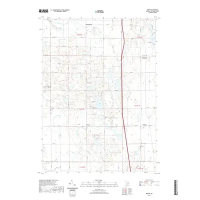
 1982 Martin1982 Print · USGSAllegan County’s lake-dotted landscape is captured here in the early eighties, showing the communities of Martin and Shelbyville along the CONRAIL line. Local historians can locate family landmarks like Ingerson Cem, the Sacred Heart Ch, and the Martin US 131 Raceway.
 - 1982 Map of Wayland
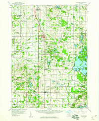
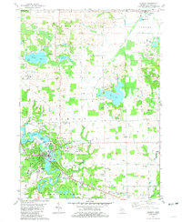
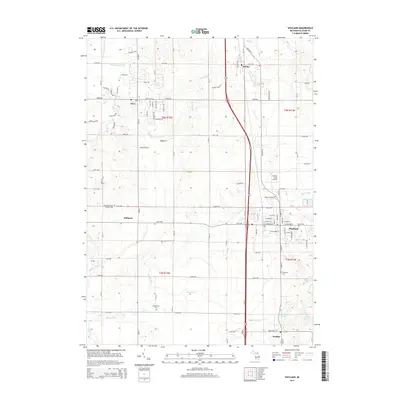
 1982 Wayland1982 Print · USGSAllegan County life in the early eighties is captured here across several townships and small hamlets connected by the Conrail line. Genealogists can trace family footprints at St Stanislaus Cem, Maplewood Cem, and the old Baker Sch in Wayland.
 - 1984 Map of Grand Rapids
 1984 Grand Rapids1984 Print · USGSWest Michigan in the mid-eighties shows a thriving metropolitan core surrounded by expansive state recreation areas and river valleys. Genealogists and local historians can trace developments around Grand Rapids, institutional landmarks like Grand Rapids Bible College, and the quiet reaches of Jordan Lake.
 - 2011 Map of Allegan, 2011 Print
 2011 Allegan2011 Print · USGSCovers Hopkins Township, including Allegan, Watson, and other nearby areas
 - 2011 Map of Burnips, 2011 Print
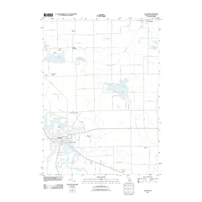
 2011 Burnips2011 Print · USGSCovers Hopkins Township, including Hopkins, Burnips, and other nearby areas
 - 2011 Map of Wayland, 2011 Print
 2011 Wayland2011 Print · USGSCovers Hopkins Township, including Dorr, Wayland, and other nearby areas
 - 2011 Map of Martin, 2011 Print
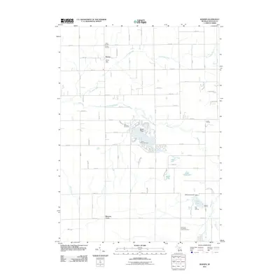
 2011 Martin2011 Print · USGSCovers Hopkins Township, including Watson, Martin, and other nearby areas
 - 2014 Map of Wayland, 2014 Print
 2014 Wayland2014 Print · USGSCovers Hopkins Township, including Dorr, Wayland, and other nearby areas
 - 2014 Map of Allegan, 2014 Print
 2014 Allegan2014 Print · USGSCovers Hopkins Township, including Allegan, Watson, and other nearby areas
 - 2014 Map of Burnips, 2014 Print
 2014 Burnips2014 Print · USGSCovers Hopkins Township, including Hopkins, Burnips, and other nearby areas
 - 2014 Map of Martin, 2014 Print
 2014 Martin2014 Print · USGSCovers Hopkins Township, including Watson, Martin, and other nearby areas
 - 2017 Map of Martin, 2017 Print
 2017 Martin2017 Print · USGSCovers Hopkins Township, including Watson, Martin, and other nearby areas
 - 2017 Map of Burnips, 2017 Print
 2017 Burnips2017 Print · USGSCovers Hopkins Township, including Hopkins, Burnips, and other nearby areas
 - 2017 Map of Wayland, 2017 Print
 2017 Wayland2017 Print · USGSCovers Hopkins Township, including Dorr, Wayland, and other nearby areas
 - 2017 Map of Allegan, 2017 Print
 2017 Allegan2017 Print · USGSCovers Hopkins Township, including Allegan, Watson, and other nearby areas
 - 2019 Map of Martin, 2019 Print
 2019 Martin2019 Print · USGSCovers Hopkins Township, including Watson, Martin, and other nearby areas
 - 2019 Map of Wayland, 2019 Print
 2019 Wayland2019 Print · USGSCovers Hopkins Township, including Dorr, Wayland, and other nearby areas
 - 2019 Map of Burnips, 2019 Print
 2019 Burnips2019 Print · USGSCovers Hopkins Township, including Hopkins, Burnips, and other nearby areas
Showing maps 1-25 of 30
Top cities near Hopkins Township
- Wyoming historical maps
- Kentwood historical maps
- Gaines Charter Township historical maps
- Byron Township historical maps
- Cascade Charter Township historical maps
- Jamestown historical maps
See more
Top neighborhoods of Hopkins Township
Frequently asked questions
- What are the different types of historical maps available for Hopkins Township?
- What is the oldest map of Hopkins Township?
- Where can I purchase historical maps of Hopkins Township for my home or office?
- Where can I download high-res historical maps of Hopkins Township?
- Are there historical topographic maps available for Hopkins Township?
- Is there historical aerial imagery available for Hopkins Township?
- Where are historical maps of Hopkins Township sourced from?