Old Maps of Plainwell, Michigan for Academic Research
Study the evolution of Plainwell with 19 high-resolution historic maps. Whether you're teaching, researching, or modeling changes in land use, these maps provide essential visual documentation of urban, environmental, and geographic change.
- Analyze long-term change: Track patterns in development, transportation, and natural features.
- Ideal for environmental or urban studies: Support academic projects with primary historical map data.
- Use in the classroom or lab: Educators and researchers rely on these maps to bring historical context to life.
These maps are a powerful tool for teaching, research, and visualizing how Plainwell has changed over the decades.
Plainwell, MI maps
(19)- 1916 Map of Kalamazoo, 1956 Print
 1916 Kalamazoo1956 Print · USGSKalamazoo and the paper-mill towns of the Kalamazoo River valley are captured here during a time of industrial expansion and rail growth. Researchers can trace the early city grid, rural schoolhouses like Honeysette School, and institutional landmarks like the State Hospital.3 unique versions available
 - 1918 Map of Kalamazoo
 1918 Kalamazoo1918 Print · USGSThe Kalamazoo River valley in the late teens served as a powerhouse for Michigan rail and industry, from the mills in Parchment to the Otsego Dam. Genealogists can locate family sites near rural landmarks like Daugherty Corners, Oshtemo, or the Grand Prairie School.4 unique versions available
 - 1943 Map of Kalamazoo
 1943 Kalamazoo1943 Print · USGSMid-century Kalamazoo and its northern satellite towns are shown here during a period of industrial and rail prominence. Genealogists can locate dozens of rural landmarks, from Nazareth Academy to local schoolhouses like Grand Prairie Sch and Star Sch.
 - 1958 Map of Grand Rapids, 1973 Print
 1958 Grand Rapids1973 Print · USGSSouthern Michigan at the peak of the postwar era shows a landscape of burgeoning cities and new interstate highways. Trace family roots and regional growth in Grand Rapids, Battle Creek, and the glacial lake country around Gun Lake or Gull Lake.2 unique versions available
 - 1961 Map of Grand Rapids
 1961 Grand Rapids1961 Print · USGSSouthern Michigan at the dawn of the 1960s reveals a region shaped by major river systems and a robust rail network. Trace mid-century industrial growth and land use from Grand Rapids to the Fort Custer Military Reservation and Gun Lake.
 - 1962 Map of Grand Rapids
 1962 Grand Rapids1962 Print · USGSMid-century Southern Michigan is mapped here at a time of massive growth, showing the expanding urban footprints of Grand Rapids and Lansing. Researchers can trace the legacy of the Grand Trunk Western RR, find historic boundaries of the Fort Custer Military Reservation, or locate sporting camps around Gun Lake.2 unique versions available
 - 1967 Map of Otsego, 1969 Print
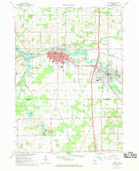 1967 Otsego1969 Print · USGSThe Kalamazoo River corridor in the late sixties shows the industrial and residential growth of Otsego and Plainwell. Trace family roots at Mountain Home Cem or follow the path of the Penn Central railroad and the Otsego-Plainwell Municipal Airport.3 unique versions available
 - 1967 Map of Kalamazoo NE, 1969 Print
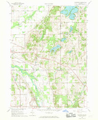 1967 Kalamazoo NE1969 Print · USGSThe rural borderlands of Allegan and Kalamazoo counties are captured here in the late sixties, showing a landscape defined by the Kalamazoo River and the Penn Central line. Local historians can trace family-named sites and vanished stops like Doster, Neeley, and several historic cemeteries including Ives Cem.4 unique versions available
 - 1982 Map of Kalamazoo, 1983 Print
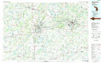 1982 Kalamazoo1983 Print · USGSThe Kalamazoo River valley in the early eighties shows a landscape of growing suburban centers and heavy rail infrastructure. Genealogists and researchers can trace the limits of Kalamazoo and Battle Creek or locate landmarks like Fort Custer National Cemetery and Gull Lake.
 - 2011 Map of Kalamazoo NE, 2011 Print
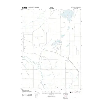 2011 Kalamazoo NE2011 Print · USGSAllegan County's river-fed landscapes are captured here in the early twenty-first century, showing the rural character of the Kalamazoo valley. Researchers can find several burial sites like Hillside Cemetery and Ives Cemetery alongside the waters of Lake Doster.
 - 2011 Map of Otsego, 2011 Print
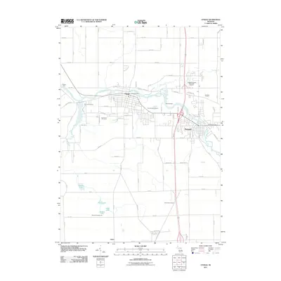 2011 Otsego2011 Print · USGSThe Kalamazoo River valley is captured here in the early twenty-first century, showcasing the industrial hearts of both Otsego and Plainwell. Local historians can trace established landmarks from the Otsego Dam to family burial grounds like Pine Creek Cemetery and Woodside Cemetery.
 - 2014 Map of Kalamazoo NE, 2014 Print
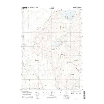 2014 Kalamazoo NE2014 Print · USGSSouthwest Michigan's lake country is captured here during the mid-2010s as residential growth expanded around historical township centers. Researchers can trace family sites at Hillside Cem, follow the Kalamazoo River valley, and locate early settlements like Doster and Neeley.
 - 2014 Map of Otsego, 2014 Print
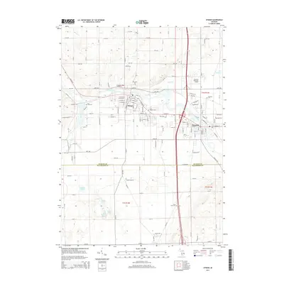 2014 Otsego2014 Print · USGSThe riverfront cities of Otsego and Plainwell are shown here as they appeared in 2014, spanning the border of Allegan and Kalamazoo counties. Researchers can trace local genealogy and land use through numerous sites like Mtn Home Cem, Plainwell Municipal Airport, and Ruppert Lake.
 - 2017 Map of Kalamazoo NE, 2017 Print
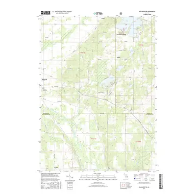 2017 Kalamazoo NE2017 Print · USGSThe Plainwell area and the Kalamazoo River valley are shown in detail as they appeared in 2017. Genealogists and local historians can trace local family landmarks and burial sites such as Hillside Cemetery, East Cooper Cem, and Walker Airport.
 - 2017 Map of Otsego, 2017 Print
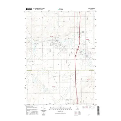 2017 Otsego2017 Print · USGSThe river-valley towns of Otsego and Plainwell are shown in detail during the late twenty-tens, situated along the winding Kalamazoo River. Local historians can trace family ties through several local burial grounds like Mountain Home Cem or locate regional landmarks like the Plainwell Municipal Airport.
 - 2019 Map of Otsego, 2019 Print
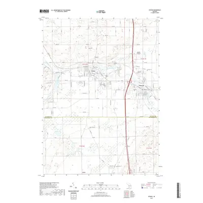 2019 Otsego2019 Print · USGSThe riverfront towns of Otsego and Plainwell are mapped here during the late 2010s as they bridge the border between Allegan and Kalamazoo counties. Researchers can trace local heritage through numerous burial sites like Pine Creek Cem and Woodside Cem, or locate landmarks like the Plainwell Municipal Airport.
 - 2019 Map of Kalamazoo NE, 2019 Print
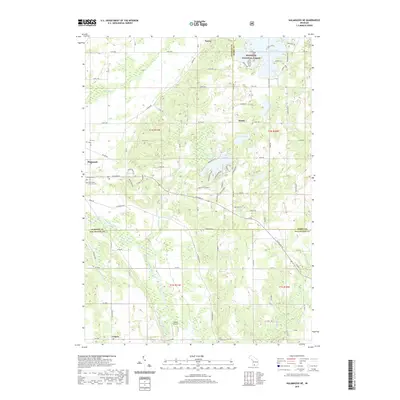 2019 Kalamazoo NE2019 Print · USGSThe Plainwell and Cooper areas are shown here as they appeared in 2019, where the Kalamazoo and Gun rivers meet. Genealogists can trace family locations at Hillside Cem or Gun Plains Township Cem, while others may find interest in Walker Airport.
 - 2023 Map of Otsego, 2023 Print
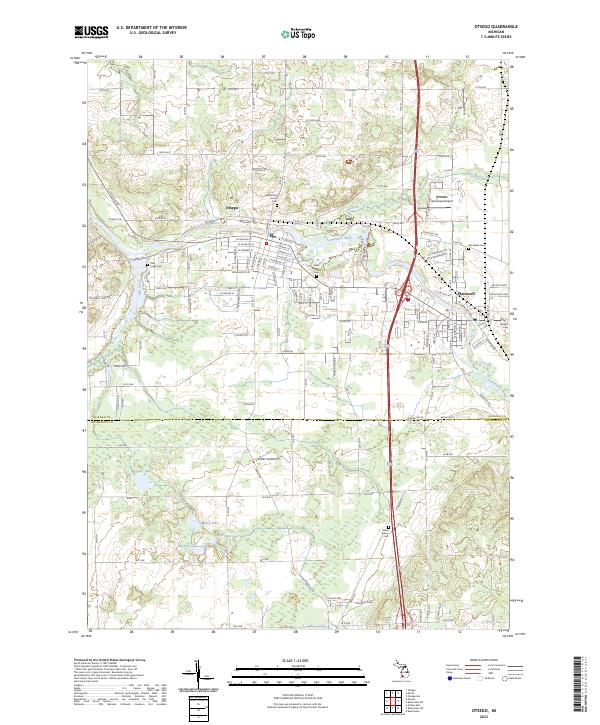 2023 Otsego2023 Print · USGSOtsego and Plainwell are mapped at their river confluence in the early 2020s, showing the modern layout of these twin industrial river towns. Researchers can locate numerous local burial grounds like Mountain Home Cem and Green Bower Cem, or trace the course of the Gun River.
 - 2023 Map of Kalamazoo NE, 2023 Print
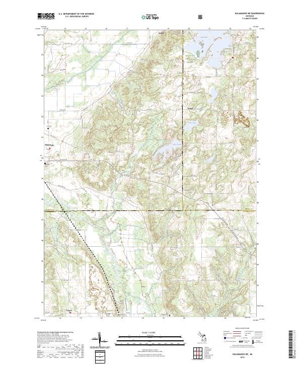 2023 Kalamazoo NE2023 Print · USGSNear the intersection of three counties in the early twenty-first century, this area shows a landscape shaped by river valleys and glacial lakes. Genealogists and local historians can locate Hillside Cem and Ives Cem or trace the early paths of Plainwell and Doster.
End of results
Showing maps 1-19 of 19
Top cities near Plainwell
- Kalamazoo historical maps
- Portage historical maps
- Almena historical maps
- Allegan historical maps
- Alamo historical maps
- Wayland historical maps
See more
Frequently asked questions
- What are the different types of historical maps available for Plainwell?
- What is the oldest map of Plainwell?
- Where can I purchase historical maps of Plainwell for my home or office?
- Where can I download high-res historical maps of Plainwell?
- Are there historical topographic maps available for Plainwell?
- Is there historical aerial imagery available for Plainwell?
- Where are historical maps of Plainwell sourced from?