Old Maps of Salem Township, Michigan for Metal Detecting
Plan your next treasure hunt with 30 historic maps of Salem Township. Find old homesites, ghost towns, trails, and gathering spots that may be lost to time — perfect for identifying promising metal detecting locations.
- Locate forgotten sites: Uncover places like long-lost settlements, abandoned rail lines, or gathering spots.
- Plan better hunts: Use map overlays combined with LiDAR or satellite views to narrow in on historically rich areas.
- Made for detectorists: Thousands of hobbyists use these maps to discover relics, coins, and hidden history.
Use these historic maps to boost your research and find new opportunities beneath the surface of Salem Township.
Salem Township, MI maps
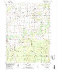
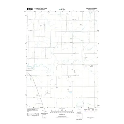
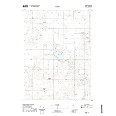
(30)- 1958 Map of Allegan, 1959 Print
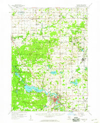 1958 Allegan1959 Print · USGSAllegan and the surrounding Michigan countryside are captured here in the late fifties, showcasing a landscape of river-fed industry and deep-wooded preserves. Genealogists can trace family roots through dozens of local landmarks like Maple Grove Sch, the Indian Mission, and the Oversel Cem.2 unique versions available
 - 1958 Map of Grandville, 1959 Print
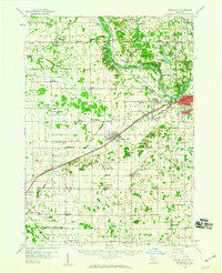 1958 Grandville1959 Print · USGSOttawa and Allegan counties are captured here in the late fifties, showing a landscape of small towns and rural school districts connected by the Grand River. Researchers can trace family roots through the many local landmarks, including the Zutphen Cem, Hanley Sch, and South Blendon.2 unique versions available
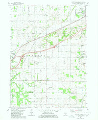
 - 1958 Map of Grand Rapids, 1973 Print
 1958 Grand Rapids1973 Print · USGSSouthern Michigan at the peak of the postwar era shows a landscape of burgeoning cities and new interstate highways. Trace family roots and regional growth in Grand Rapids, Battle Creek, and the glacial lake country around Gun Lake or Gull Lake.2 unique versions available
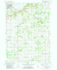
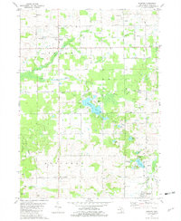
 - 1961 Map of Grand Rapids
 1961 Grand Rapids1961 Print · USGSSouthern Michigan at the dawn of the 1960s reveals a region shaped by major river systems and a robust rail network. Trace mid-century industrial growth and land use from Grand Rapids to the Fort Custer Military Reservation and Gun Lake.
 - 1962 Map of Grand Rapids
 1962 Grand Rapids1962 Print · USGSMid-century Southern Michigan is mapped here at a time of massive growth, showing the expanding urban footprints of Grand Rapids and Lansing. Researchers can trace the legacy of the Grand Trunk Western RR, find historic boundaries of the Fort Custer Military Reservation, or locate sporting camps around Gun Lake.2 unique versions available
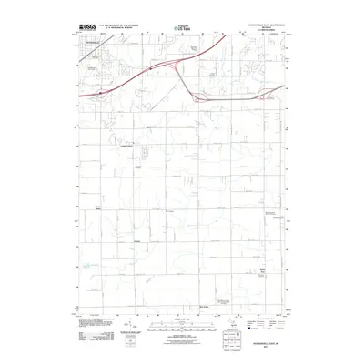
 - 1980 Map of Hudsonville West
 1980 Hudsonville West1980 Print · USGSThe Ottawa County farming country south of the Grand River was transitioning between its rural roots and suburban growth in the 1970s. Genealogists can trace family names through landmarks like Beaverdam Cem and the small rail stop at Forest Grove Station.
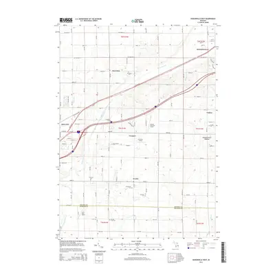
 - 1980 Map of Hudsonville East
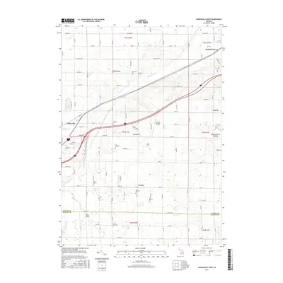
 1980 Hudsonville East1980 Print · USGSOttawa County in the mid-seventies shows a mix of growing suburban hubs and active rural industry. Genealogists and historians can trace family plots at Jamestown Cem or explore the southern Oil and Gas Field near New Salem.
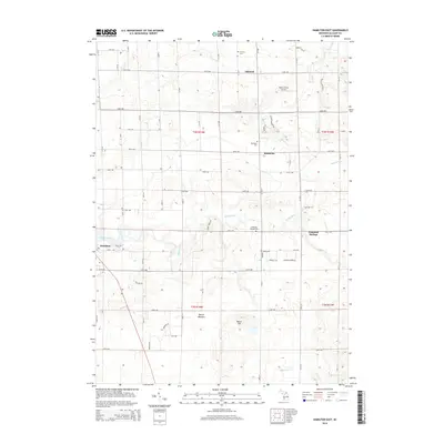
 - 1981 Map of Hamilton East
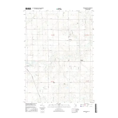
 1981 Hamilton East1981 Print · USGSAllegan County in the late 1970s shows a rural landscape where farming, oil extraction, and conservation coexist. Researchers can trace family history at Oakland Cem and Diamond Springs Cem or locate old school sites like Sandy View Sch.2 unique versions available
 - 1981 Map of Burnips, 1982 Print
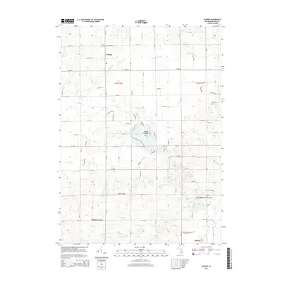
 1981 Burnips1982 Print · USGSAllegan County in the late seventies is captured here as a mix of traditional farm life and an active Oil and Gas Field. Researchers can trace old family names at Burnips Cem or locate rural landmarks like the Indian Mission and St Pauls Sch.
 - 1984 Map of Grand Rapids
 1984 Grand Rapids1984 Print · USGSWest Michigan in the mid-eighties shows a thriving metropolitan core surrounded by expansive state recreation areas and river valleys. Genealogists and local historians can trace developments around Grand Rapids, institutional landmarks like Grand Rapids Bible College, and the quiet reaches of Jordan Lake.
 - 2011 Map of Hudsonville West, 2011 Print
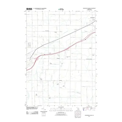 2011 Hudsonville West2011 Print · USGSCovers Salem Township, including Hudsonville, Zeeland, and other nearby areas
 - 2011 Map of Burnips, 2011 Print
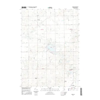
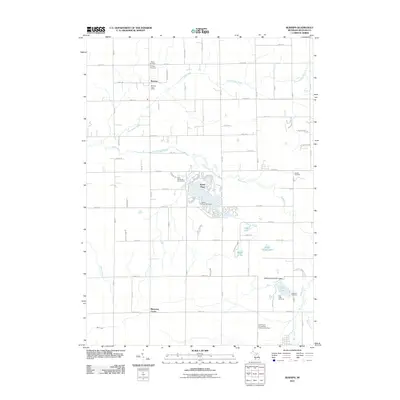 2011 Burnips2011 Print · USGSCovers Salem Township, including Hopkins, Burnips, and other nearby areas
 - 2011 Map of Hamilton East, 2011 Print
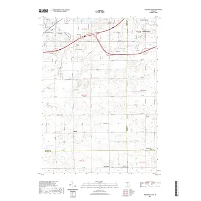
 2011 Hamilton East2011 Print · USGSCovers Salem Township, including Bentheim, Diamond Springs, and other nearby areas
 - 2011 Map of Hudsonville East, 2011 Print
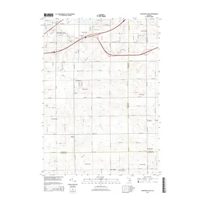
 2011 Hudsonville East2011 Print · USGSCovers Salem Township, including Wyoming, Byron Township, and other nearby areas
 - 2014 Map of Hudsonville West, 2014 Print
 2014 Hudsonville West2014 Print · USGSCovers Salem Township, including Hudsonville, Zeeland, and other nearby areas
 - 2014 Map of Hamilton East, 2014 Print
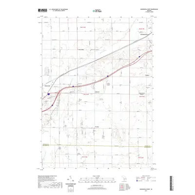
 2014 Hamilton East2014 Print · USGSCovers Salem Township, including Bentheim, Diamond Springs, and other nearby areas
 - 2014 Map of Burnips, 2014 Print
 2014 Burnips2014 Print · USGSCovers Salem Township, including Hopkins, Burnips, and other nearby areas
 - 2014 Map of Hudsonville East, 2014 Print
 2014 Hudsonville East2014 Print · USGSCovers Salem Township, including Wyoming, Byron Township, and other nearby areas
 - 2017 Map of Hudsonville East, 2017 Print
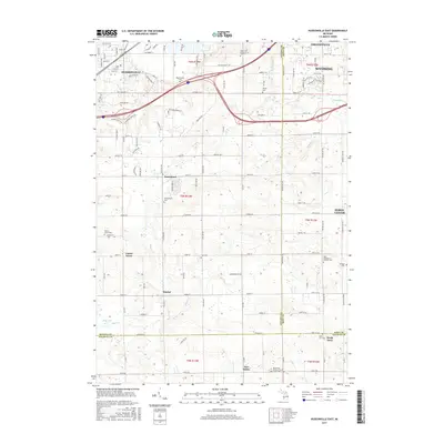 2017 Hudsonville East2017 Print · USGSCovers Salem Township, including Wyoming, Byron Township, and other nearby areas
 - 2017 Map of Burnips, 2017 Print
 2017 Burnips2017 Print · USGSCovers Salem Township, including Hopkins, Burnips, and other nearby areas
 - 2017 Map of Hamilton East, 2017 Print
 2017 Hamilton East2017 Print · USGSCovers Salem Township, including Bentheim, Diamond Springs, and other nearby areas
 - 2017 Map of Hudsonville West, 2017 Print
 2017 Hudsonville West2017 Print · USGSCovers Salem Township, including Hudsonville, Zeeland, and other nearby areas
 - 2019 Map of Hudsonville East, 2019 Print
 2019 Hudsonville East2019 Print · USGSCovers Salem Township, including Wyoming, Byron Township, and other nearby areas
 - 2019 Map of Hudsonville West, 2019 Print
 2019 Hudsonville West2019 Print · USGSCovers Salem Township, including Hudsonville, Zeeland, and other nearby areas
 - 2019 Map of Burnips, 2019 Print
 2019 Burnips2019 Print · USGSCovers Salem Township, including Hopkins, Burnips, and other nearby areas
Showing maps 1-25 of 30
Top cities near Salem Township
- Grand Rapids historical maps
- Wyoming historical maps
- Kentwood historical maps
- Holland historical maps
- Gaines Charter Township historical maps
- Byron Township historical maps
See more
Top neighborhoods of Salem Township
Frequently asked questions
- What are the different types of historical maps available for Salem Township?
- What is the oldest map of Salem Township?
- Where can I purchase historical maps of Salem Township for my home or office?
- Where can I download high-res historical maps of Salem Township?
- Are there historical topographic maps available for Salem Township?
- Is there historical aerial imagery available for Salem Township?
- Where are historical maps of Salem Township sourced from?