2020s Maps of Ossineke Township, Michigan
Explore 8 historic maps of Ossineke Township from the 2020s. These maps offer a rare glimpse into what life looked like during the 2020s — showing old roads, neighborhoods, homes, and landmarks that have changed or disappeared over time.
Whether you're researching your family's past, planning a metal detecting trip, or studying how Ossineke Township's landscape evolved across the 2020s, these high-resolution maps are a powerful tool for exploring the history of this region.
- Focus on a specific era: All maps on this page are from the 2020s, giving you a focused view of this time period.
- See what’s changed: Compare century-old streets, trails, and buildings to today's modern landscape using overlays and satellite layers.
- Research with precision: Use these maps for genealogy, historical research, land use analysis, or educational projects.
- View, download, or print: Maps are fully viewable online in high resolution, and can be downloaded or printed for your own records.
Start exploring Ossineke Township's history through authentic maps from the 2020s. This is your window into the past.
Ossineke Township, MI maps
(8)- 2023 Map of Big Ravine Creek, 2023 Print
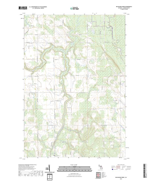 2023 Big Ravine Creek2023 Print · USGSNorthern Michigan’s drainage patterns and rural infrastructure are clearly visible in this recent study of Alpena County. Family historians can locate Hubbard Lake Cem while outdoorsmen can trace the paths of Big Ravine Creek and the Snowmobile Trl.
 - 2023 Map of McCollum Lake, 2023 Print
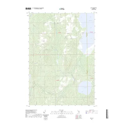
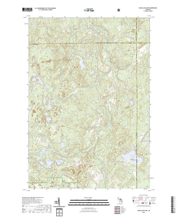 2023 McCollum Lake2023 Print · USGSThe Oscoda and Alcona county borderlands are preserved here in the early twenty-first century as part of the Huron National Forest. Researchers can map the intricate lake-and-river systems surrounding McCollum Lake or locate the historic Mooney Cem.
 - 2023 Map of Hubbard Lake SW, 2023 Print
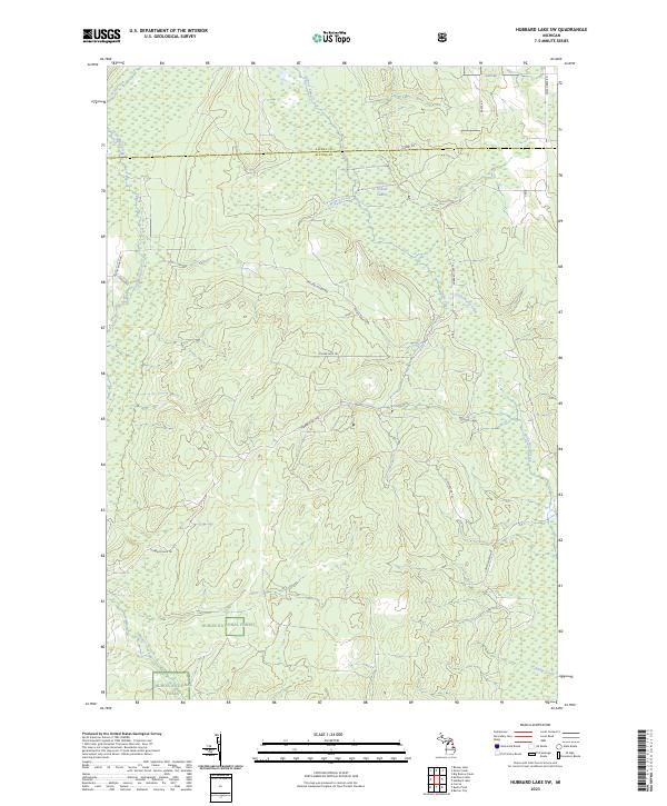 2023 Hubbard Lake SW2023 Print · USGSThe Alpena and Alcona county line in the early 2020s remains a landscape of dense timber and winding waterways. Researchers can trace the modern boundaries of the Huron National Forest and locate specific backcountry routes like Hubbard Lake Trl and Fruchey Ranch Rd.
 - 2023 Map of Evans Creek, 2023 Print
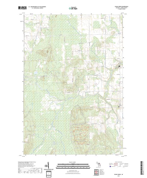 2023 Evans Creek2023 Print · USGSAlpena County's rural landscape is documented here in the early 2020s, showing a region shaped by its creeks and community heritage. Researchers can locate family landmarks like Saint Matthew Cem and the Chippewa Hills Pathway Trl.
 - 2023 Map of Rust, 2023 Print
 2023 Rust2023 Print · USGSMontmorency County is captured here in a moment of quiet continuity, centered on the settlement of Rust and its network of woodland roads. Genealogists and researchers can trace local landmarks like Rust Cem or explore the shorelines of Turtle Lake and Fletcher Pond.
 - 2023 Map of McGinn Creek, 2023 Print
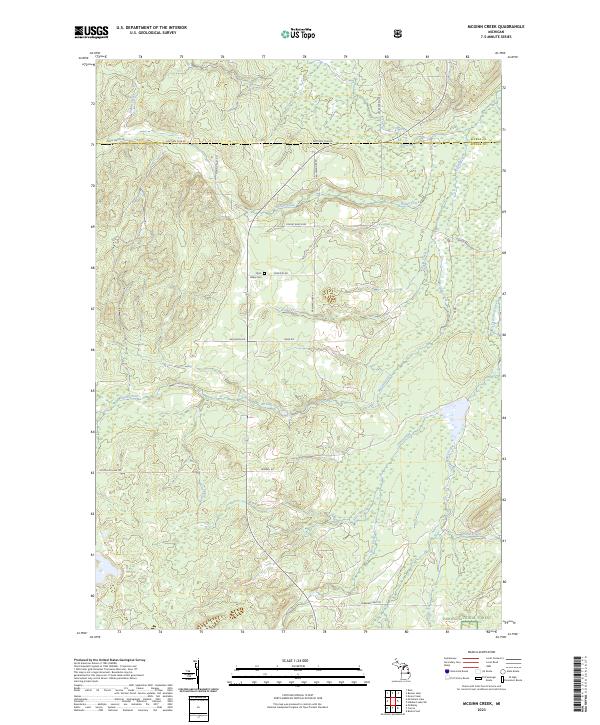 2023 McGinn Creek2023 Print · USGSUpper Michigan's forested borderlands between Alpena and Alcona counties are mapped here in the early 2020s. Researchers can locate the Flynn Valley Cem and trace seasonal waterways like McGinn Creek and Little Wolf Creek through the Huron National Forest.
 - 2023 Map of Hubbard Lake, 2023 Print
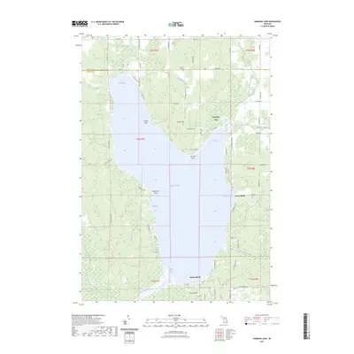 2023 Hubbard Lake2023 Print · USGSHubbard Lake at the Alpena and Alcona county line is shown here in its modern recreational and residential character. Genealogists and local historians can locate Flowers Grave and trace development around Larson Beach, Backus Beach, and Churchill Point.
 - 2023 Map of Beaver Lake, 2023 Print
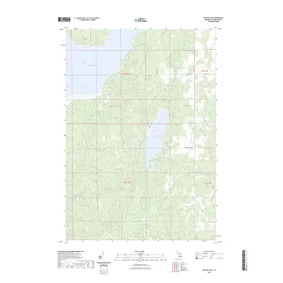 2023 Beaver Lake2023 Print · USGSAlpena County's interior is captured here in the early 2020s, showing a landscape defined by its significant water bodies and rural road networks. Genealogists and local historians can locate Spratt Cem and trace old family routes along Cousineau Rd and Beaver Lake Rd.
End of results
Showing maps 1-8 of 8
Top cities near Ossineke Township
Top neighborhoods of Ossineke Township
Frequently asked questions
- What are the different types of historical maps available for Ossineke Township?
- What is the oldest map of Ossineke Township?
- Where can I purchase historical maps of Ossineke Township for my home or office?
- Where can I download high-res historical maps of Ossineke Township?
- Are there historical topographic maps available for Ossineke Township?
- Is there historical aerial imagery available for Ossineke Township?
- Where are historical maps of Ossineke Township sourced from?