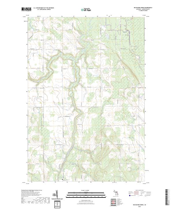
2023 Map of Big Ravine Creek
USGS Topo · Published 2023About this map
The Lower South Branch Thunder Bay River carves a winding path through this Alpena County landscape, joined by its namesake Big Ravine Creek and numerous other tributaries including Wolf Creek and Butterfield Creek. The terrain is defined by a dense network of local roads and recreational paths, such as the Snowmobile Trl and various two-tracks, suggesting a region heavily utilized for forestry and outdoor activities.
Find a feature on this map
57 named features on this map. Tap any name to fly to it.
Don’t see what you’re looking for? This feature index may not catch every label — zoom into the map to look around manually.
Map Details
Editions of this 2023 Big Ravine Creek Map
This is the sole edition of this map. No revisions or reprints were ever made.
Other maps of this area

1954 · Tawas City
USGS Topo · 1:250,000

1954 · Alpena
USGS Topo · 1:250,000

1957 · Alpena
USGS Topo · 1:250,000

1958 · Alpena
USGS Topo · 1:250,000

1958 · Tawas City
USGS Topo · 1:250,000

1969 · Alpena
USGS Topo · 1:250,000

1971 · Lake Winyah
USGS Topo · 1:24,000

1971 · Alpena
USGS Topo · 1:24,000

1971 · Spruce
USGS Topo · 1:24,000

1971 · Lachine
USGS Topo · 1:24,000