
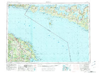
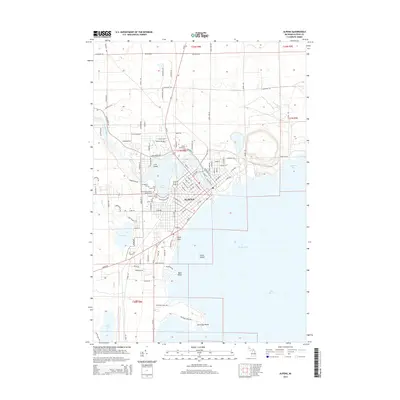
1957 Map of Alpena
USGS Topo · Published 1957About this map
Lake Huron and the North Channel dominate this mid-century maritime landscape, bridging the international boundary between Northeast Michigan and Ontario. Along the Michigan coast, Alpena and Rogers City serve as the primary hubs, supported by the Detroit and Mackinac RR and significant industrial activity at the quarry near Adams Point. Military and maritime safety are anchored by the Alpena Air National Guard and a Coast Guard Station near the mouth of the Thunder Bay River. Across the water, the expansive Manitoulin Island and Cockburn Island are detailed with several reservations, including the Manitoulin Island Indian Reservation No 23, and inland waters like Lake Mindemoya. This survey captures the transition from mainland forest tracts like Alpena State Forest to the complex island chains of the northern channel during a period of established cross-border navigation.
Find a feature on this map
103 named features on this map. Tap any name to fly to it.
Don’t see what you’re looking for? This feature index may not catch every label — zoom into the map to look around manually.
Map Details
Editions of this 1957 Alpena Map
This is the sole edition of this map. No revisions or reprints were ever made.
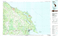
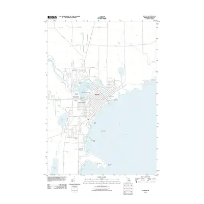
Historical Maps of Alpena Through Time
11 maps found
1954 Alpena
Alpena County, MI
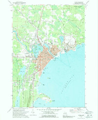
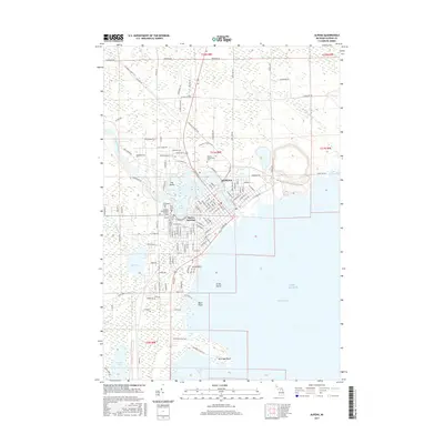
1957 Alpena
Alpena County, MI

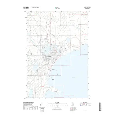
1958 Alpena
Alpena County, MI

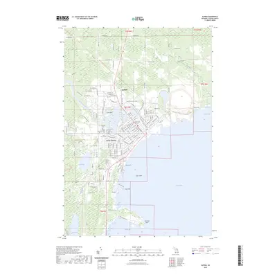
1969 Alpena
Alpena County, MI
1971 Alpena
Alpena County, MI
1984 Alpena
Alpena County, MI
2011 Alpena
Alpena County, MI
2014 Alpena
Alpena County, MI
2017 Alpena
Alpena County, MI
2019 Alpena
Alpena County, MI
2023 Alpena
Alpena County, MI