
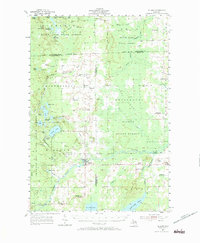
1955 Map of Hillman
USGS Topo · Published 1956About this map
Hillman serves as the primary hub of this 1950s survey, situated along the Thunder Bay River near its confluence with Brush Creek. The landscape is a mix of state-managed forest lands, including Black Lake State Forest and Alpena State Forest, and a dense network of early rural schools like Babcock Sch and Cedar Sch. The topography reveals the region's agricultural and timber history, with an abandoned Railroad Grade cutting across the eastern portion of the map, signaling the transition from large-scale logging to a more settled rural economy.
Find a feature on this map
57 named features on this map. Tap any name to fly to it.
Don’t see what you’re looking for? This feature index may not catch every label — zoom into the map to look around manually.
Map Details
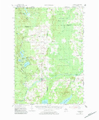
Editions of this 1955 Hillman Map
3 editions found
Other maps of this area

1954 · Traverse City
USGS Topo · 1:250,000

1954 · Tawas City
USGS Topo · 1:250,000

1954 · Alpena
USGS Topo · 1:250,000

1955 · Atlanta
USGS Topo · 1:62,500

1955 · Comins
USGS Topo · 1:62,500

1955 · Cheboygan
USGS Topo · 1:250,000

1957 · Alpena
USGS Topo · 1:250,000

1957 · Onaway
USGS Topo · 1:62,500

1958 · Cheboygan
USGS Topo · 1:250,000

1958 · Traverse City
USGS Topo · 1:250,000