
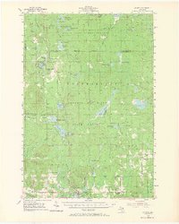
1955 Map of Atlanta
USGS Topo · Published 1956About this map
Atlanta sits at the heart of this mid-century survey, serving as a hub for the vast timberlands of the Black Lake State Forest and the Thunder Bay River State Forest. The map documents a landscape defined by its glacial lakes and a transition from early industrial extraction to seasonal recreation. Evidence of the region's logging history is visible in the Old Railroad Grade and numerous Gravel Pits used for forest road construction. Local life and genealogy are anchored by the Pleasant Valley Ch, Briley Cem, and the now Edwards Sch (Abandoned). The presence of three distinct fire towers, including the Atlanta Lookout Tower, underscores the vital importance of forest management during this era, while the Canada Creek Ranch and Hagenaville Hunting Club signal the area's growing identity as a sporting destination.
Find a feature on this map
73 named features on this map. Tap any name to fly to it.
Don’t see what you’re looking for? This feature index may not catch every label — zoom into the map to look around manually.
Map Details
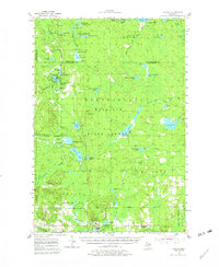
Editions of this 1955 Atlanta Map
3 editions found
Other maps of this area

1949 · Lewiston
USGS Topo · 1:62,500

1950 · Lewiston
USGS Topo · 1:24,000

1951 · Lewiston
USGS Topo · 1:24,000

1954 · Hetherton
USGS Topo · 1:62,500

1954 · Traverse City
USGS Topo · 1:250,000

1954 · Tawas City
USGS Topo · 1:250,000

1954 · Alpena
USGS Topo · 1:250,000

1955 · Comins
USGS Topo · 1:62,500

1955 · Hillman
USGS Topo · 1:62,500

1955 · Cheboygan
USGS Topo · 1:250,000