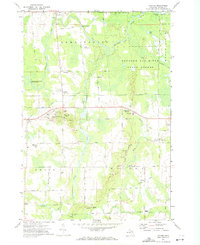
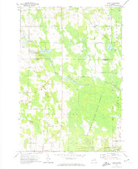
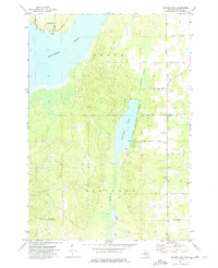
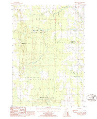
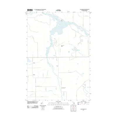
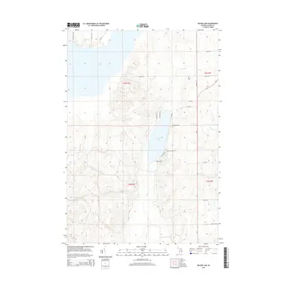
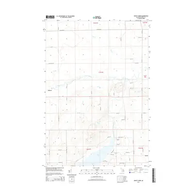
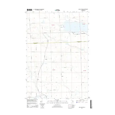
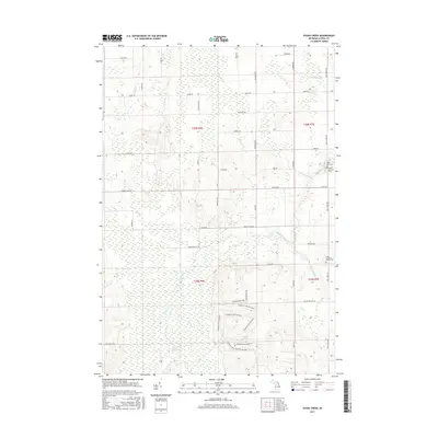
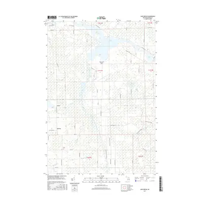
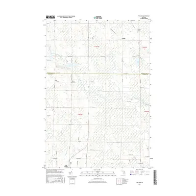
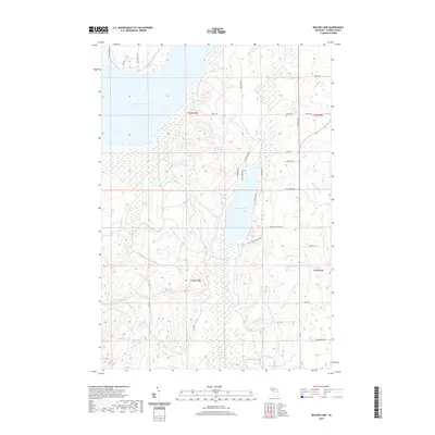
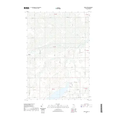
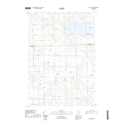
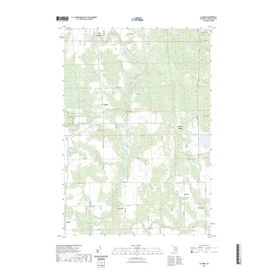
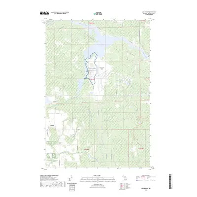
1971 Map of Lachine
USGS Topo · Published 1974About this map
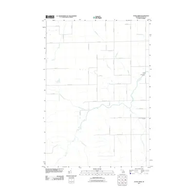
Thunder Bay River defines the northern landscape of this Alpena County region, winding past Speckley Rapids and through the Thunder Bay State Forest. The early 1970s landscape is characterized by a transition from the river lowlands to the elevated Maple Ridge and the prominent Manning Hill. Several small settlements and rural hubs serve the area, including Long Rapids, Lachine, and Herron. Local industry and infrastructure are represented by numerous Gravel Pits, a Quarry, and the Nugent Landing Strip. The influence of early transportation is visible in the Old Railroad Grade and the Old Grade which cross the central and southern sections, while educational landmarks like Green Sch and Wilson Sch provide specific points of interest for genealogists tracing local family roots in these farming and timber communities.
Find a feature on this map
53 named features on this map. Tap any name to fly to it.
Don’t see what you’re looking for? This feature index may not catch every label — zoom into the map to look around manually.
Map Details
Editions of this 1971 Lachine Map
This is the sole edition of this map. No revisions or reprints were ever made.
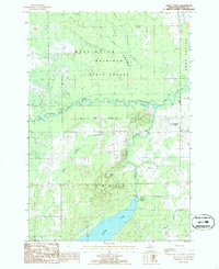
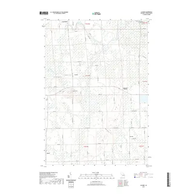
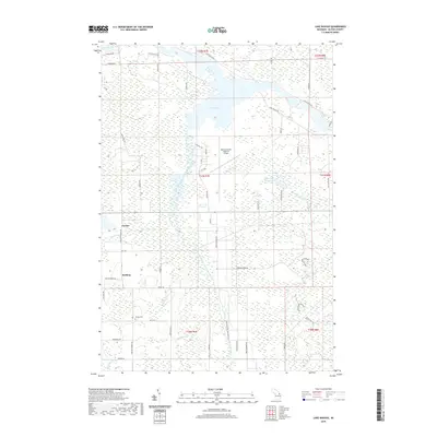
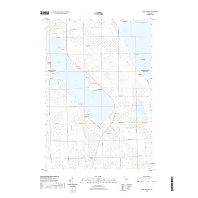
Historical Maps of Spratt Through Time
84 maps found
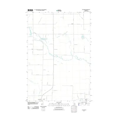
1971 Lachine
Alpena County, MI
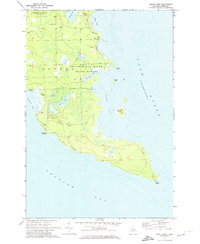
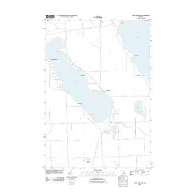
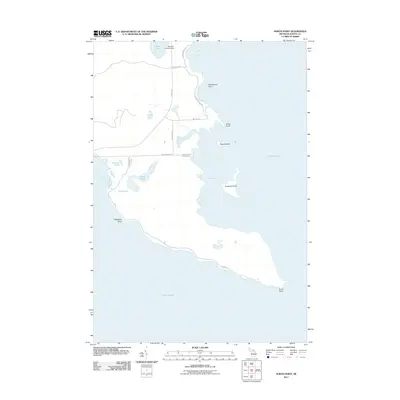
1971 Lake Winyah
Alpena County, MI
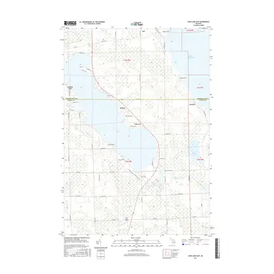
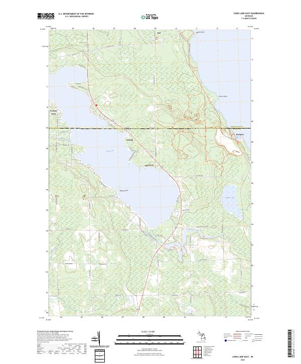
1971 Long Lake East
Alpena County, MI
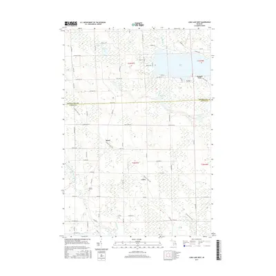
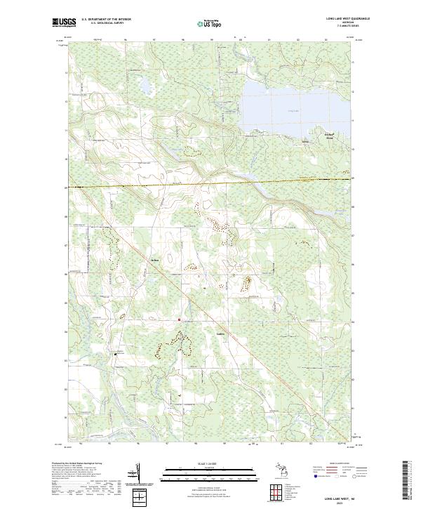
1971 Long Lake West
Alpena County, MI
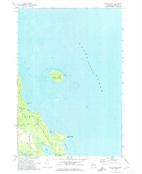
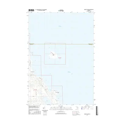
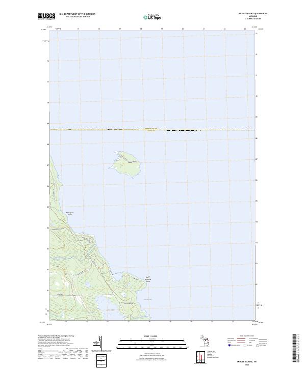
1971 Middle Island
Alpena County, MI
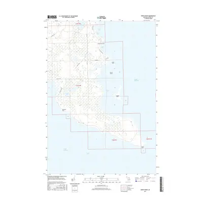
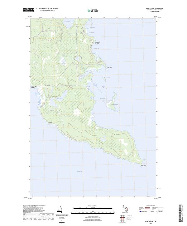
1971 North Point
Alpena County, MI
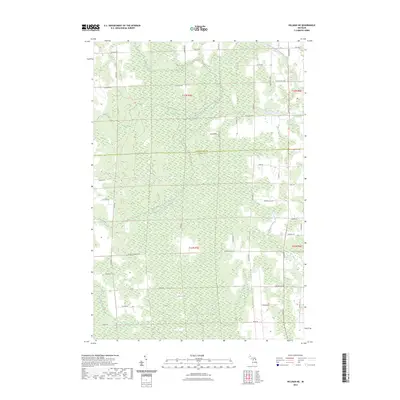
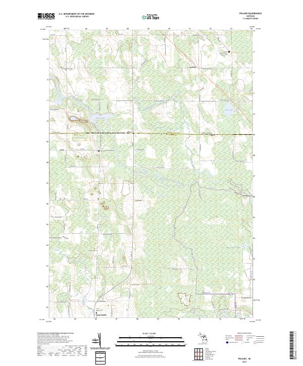
1971 Polaski
Alpena County, MI
1971 South Point
Alpena County, MI
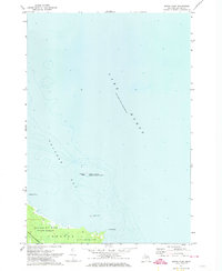
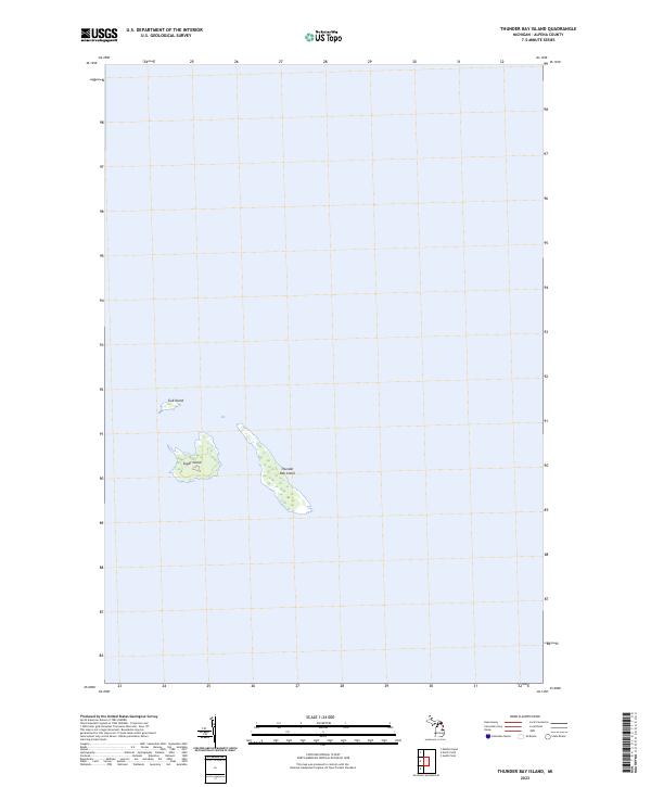
1971 Thunder Bay Island
Alpena County, MI
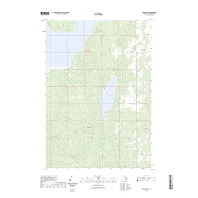
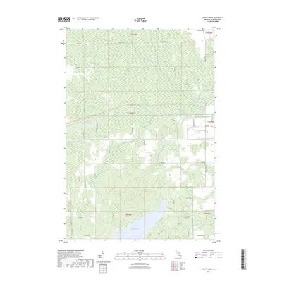
1972 Beaver Lake
Alpena County, MI
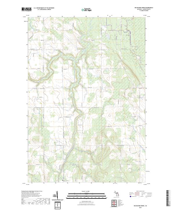
1972 Big Ravine Creek
Alpena County, MI
1972 Evans Creek
Alpena County, MI
1986 Hillman NE
Alpena County, MI
1986 Jewett Creek
Alpena County, MI
2011 Beaver Lake
Alpena County, MI
2011 Big Ravine Creek
Alpena County, MI
2011 Evans Creek
Alpena County, MI
2011 Hillman NE
Alpena County, MI
2011 Jewett Creek
Alpena County, MI
2011 Lachine
Alpena County, MI
2011 Lake Winyah
Alpena County, MI
2011 Long Lake East
Alpena County, MI
2011 Long Lake West
Alpena County, MI
2011 Middle Island
Alpena County, MI
2011 North Point
Alpena County, MI
2011 Polaski
Alpena County, MI
2011 South Point
Alpena County, MI
2011 Thunder Bay Island
Alpena County, MI
2014 Beaver Lake
Alpena County, MI
2014 Big Ravine Creek
Alpena County, MI
2014 Evans Creek
Alpena County, MI
2014 Hillman NE
Alpena County, MI
2014 Jewett Creek
Alpena County, MI
2014 Lachine
Alpena County, MI
2014 Lake Winyah
Alpena County, MI
2014 Long Lake East
Alpena County, MI
2014 Long Lake West
Alpena County, MI
2014 Middle Island
Alpena County, MI
2014 North Point
Alpena County, MI
2014 Polaski
Alpena County, MI
2014 South Point
Alpena County, MI
2014 Thunder Bay Island
Alpena County, MI
2017 Beaver Lake
Alpena County, MI
2017 Big Ravine Creek
Alpena County, MI
2017 Evans Creek
Alpena County, MI
2017 Hillman NE
Alpena County, MI
2017 Jewett Creek
Alpena County, MI
2017 Lachine
Alpena County, MI
2017 Lake Winyah
Alpena County, MI
2017 Long Lake East
Alpena County, MI
2017 Long Lake West
Alpena County, MI
2017 Middle Island
Alpena County, MI
2017 North Point
Alpena County, MI
2017 Polaski
Alpena County, MI
2017 South Point
Alpena County, MI
2017 Thunder Bay Island
Alpena County, MI
2019 Beaver Lake
Alpena County, MI
2019 Big Ravine Creek
Alpena County, MI
2019 Evans Creek
Alpena County, MI
2019 Hillman NE
Alpena County, MI
2019 Jewett Creek
Alpena County, MI
2019 Lachine
Alpena County, MI
2019 Lake Winyah
Alpena County, MI
2019 Long Lake East
Alpena County, MI
2019 Long Lake West
Alpena County, MI
2019 Middle Island
Alpena County, MI
2019 North Point
Alpena County, MI
2019 Polaski
Alpena County, MI
2019 South Point
Alpena County, MI
2019 Thunder Bay Island
Alpena County, MI
2023 Beaver Lake
Alpena County, MI
2023 Big Ravine Creek
Alpena County, MI
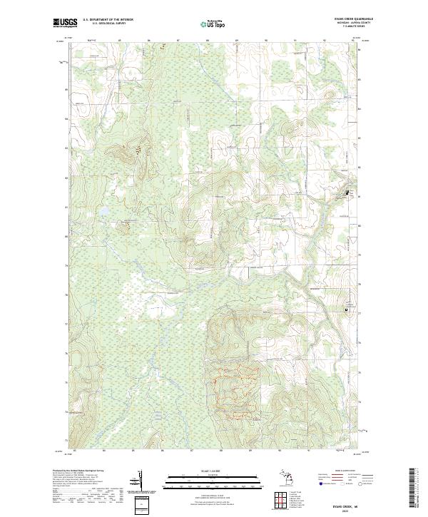
2023 Evans Creek
Alpena County, MI
2023 Hillman NE
Alpena County, MI
2023 Jewett Creek
Alpena County, MI
2023 Lachine
Alpena County, MI
2023 Lake Winyah
Alpena County, MI
2023 Long Lake East
Alpena County, MI
2023 Long Lake West
Alpena County, MI
2023 Middle Island
Alpena County, MI
2023 North Point
Alpena County, MI
2023 Polaski
Alpena County, MI
2023 South Point
Alpena County, MI
2023 Thunder Bay Island
Alpena County, MI
Featured Locations
- Green Township, MI
- Long Rapids Township, MI
- Maple Ridge Township, MI
- Spratt, Green Township
- Emerson Station, Wilson Township