
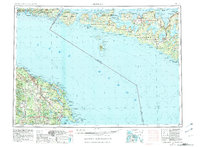
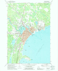
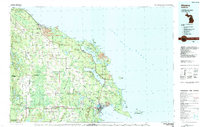
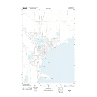
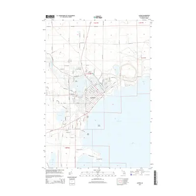
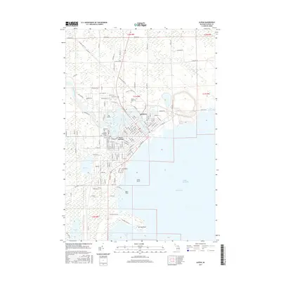
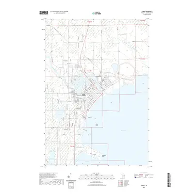
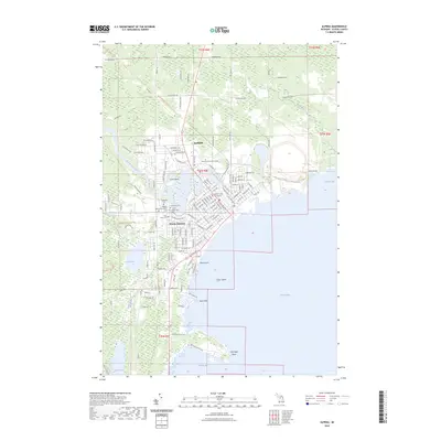
1969 Map of Alpena
USGS Topo · Published 1969About this map
The waters of Lake Huron and the North Channel dominate this mid-century survey, illustrating the maritime and industrial interface of Northeast Michigan and Ontario. Along the Michigan coast, the Detroit and Mackinac railroad corridor links timber and mining outposts like Hawks and Rogers City to the regional hub at Alpena. The map documents a landscape defined by significant industrial extraction, notably the Limestone Quarry operations near the shoreline, and a strong military and safety presence via the Alpena Air National Guard and a Coast Guard Station on Thunder Bay. To the north, the intricate geography of the Manitoulin chain is detailed, showing a complex network of First Nations lands such as Sheshegwaning Indian Reservation No 20 and Sucker Creek Indian Reservation No 23, alongside interior lakes like Manitou Lake.
Find a feature on this map
77 named features on this map. Tap any name to fly to it.
Don’t see what you’re looking for? This feature index may not catch every label — zoom into the map to look around manually.
Map Details
Editions of this 1969 Alpena Map
This is the sole edition of this map. No revisions or reprints were ever made.
Historical Maps of Alpena Through Time
11 maps found
1954 Alpena
Alpena County, MI

1957 Alpena
Alpena County, MI

1958 Alpena
Alpena County, MI
1969 Alpena
Alpena County, MI
1971 Alpena
Alpena County, MI
1984 Alpena
Alpena County, MI
2011 Alpena
Alpena County, MI
2014 Alpena
Alpena County, MI
2017 Alpena
Alpena County, MI
2019 Alpena
Alpena County, MI
2023 Alpena
Alpena County, MI