
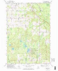
1971 Map of Spruce
USGS Topo · Published 1974About this map
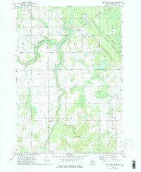
Spruce serves as the central hub of this northern Michigan landscape, located just south of the Alpena and Alcona county line. The settlement is surrounded by a network of family-named roads such as La Bonte Road, Gillard Road, and Hansen Road, indicating the established rural community of the early 1970s. Further south, the map reveals a shift toward recreation and conservation, centered on Lost Lake Woods and its associated Golf Course.
Find a feature on this map
54 named features on this map. Tap any name to fly to it.
Don’t see what you’re looking for? This feature index may not catch every label — zoom into the map to look around manually.
Map Details
Editions of this 1971 Spruce Map
2 editions found
Other maps of this area

1954 · Tawas City
USGS Topo · 1:250,000

1958 · Tawas City
USGS Topo · 1:250,000

1959 · Glennie
USGS Topo · 1:62,500

1959 · Harrisville
USGS Topo · 1:62,500
1971 · Black River
USGS Topo · 1:24,000
1971 · South Point
USGS Topo · 1:24,000
1971 · Ossineke
USGS Topo · 1:24,000

1972 · Hubbard Lake
USGS Topo · 1:24,000
1972 · Big Ravine Creek
USGS Topo · 1:24,000

1983 · Hubbard Lake
USGS Topo · 1:100,000