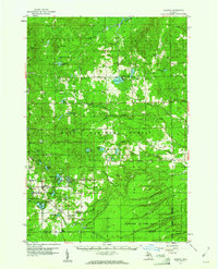
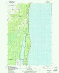
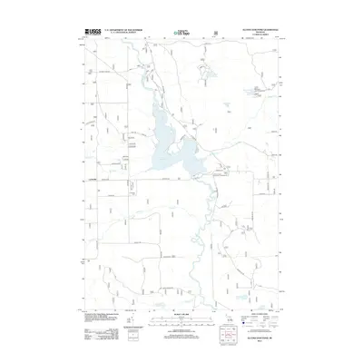
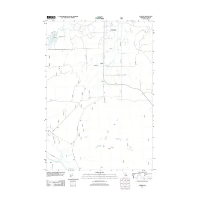
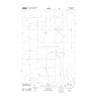
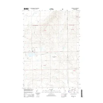
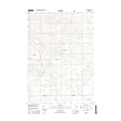
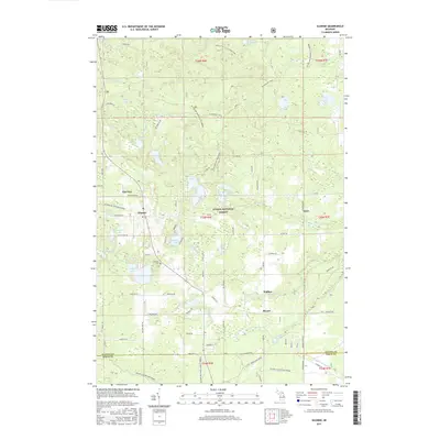
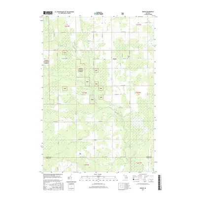
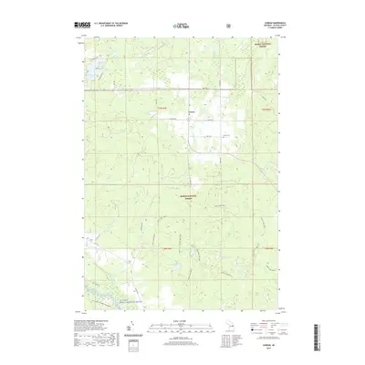
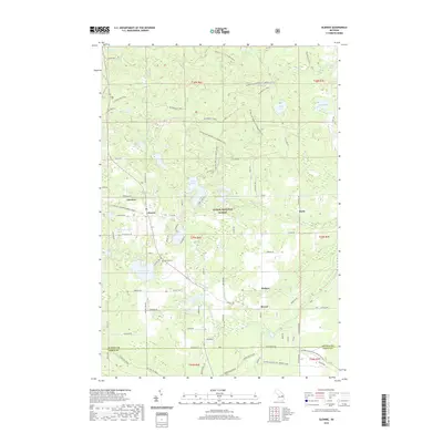
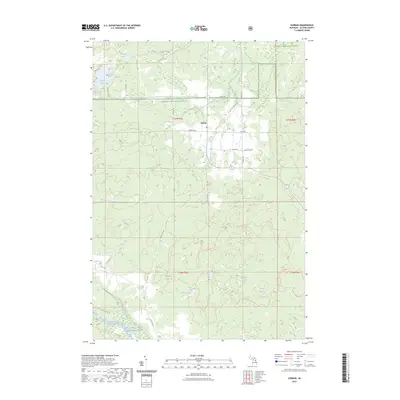
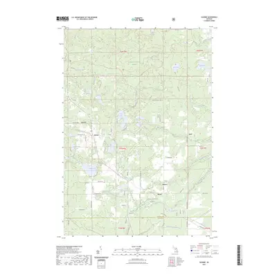
1959 Map of Glennie
USGS Topo · Published 1961About this map
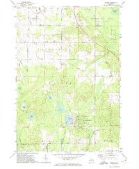
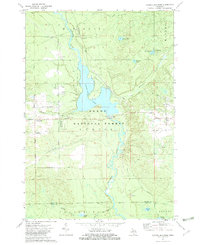
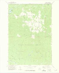
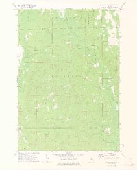
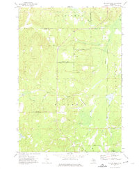
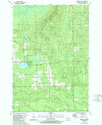
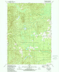
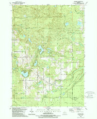
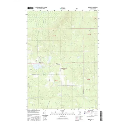
Barton City and Glennie anchor this late 1950s survey of the northern lower peninsula, where the landscape is defined by the extensive reaches of the Huron National Forest. The map documents a transition from established forest service infrastructure, such as the Hayes Lookout Tower and Curran Lookout Tower, to military and industrial use. In the south, the Wurtsmith Air Force Range occupies a significant portion of the terrain, while numerous Gravel Pits and Sandpits scatter the area, reflecting the local extraction economy.
Find a feature on this map
68 named features on this map. Tap any name to fly to it.
Don’t see what you’re looking for? This feature index may not catch every label — zoom into the map to look around manually.
Map Details
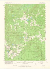
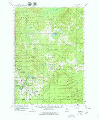
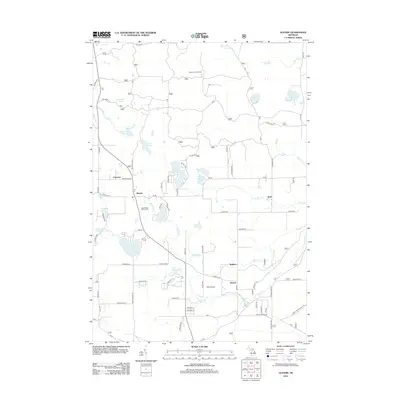
Editions of this 1959 Glennie Map
3 editions found
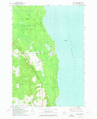
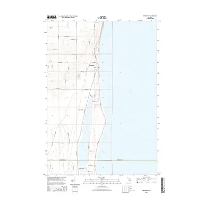
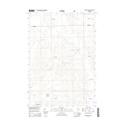
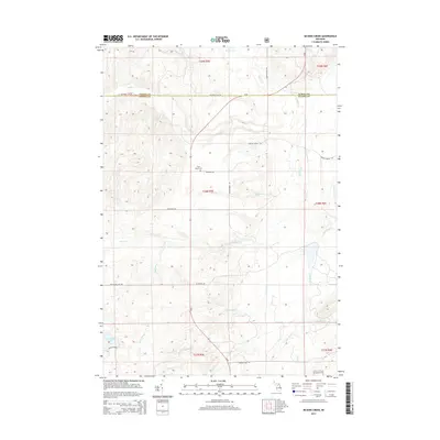
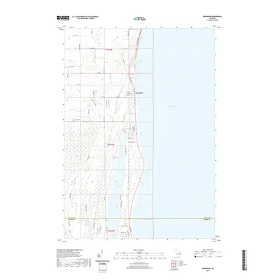
Historical Maps of Curtis Township Through Time
73 maps found
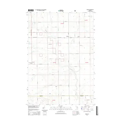
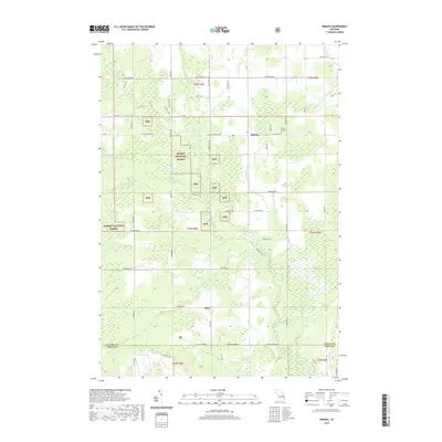
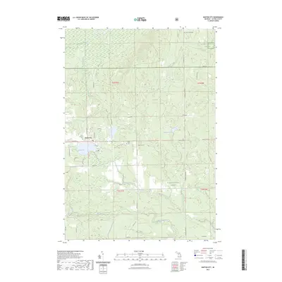
1959 Glennie
Alcona County, MI
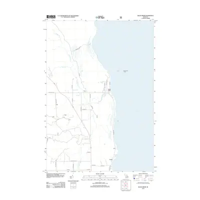
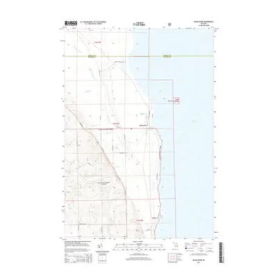
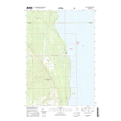
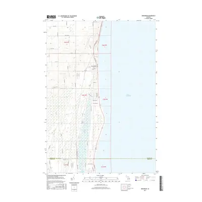
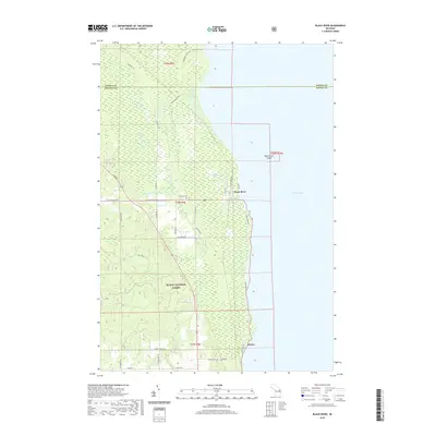
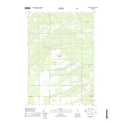
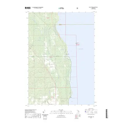
1971 Black River
Alcona County, MI
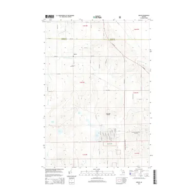
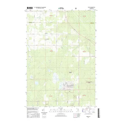
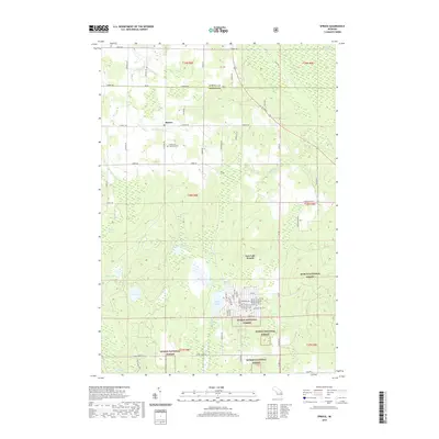
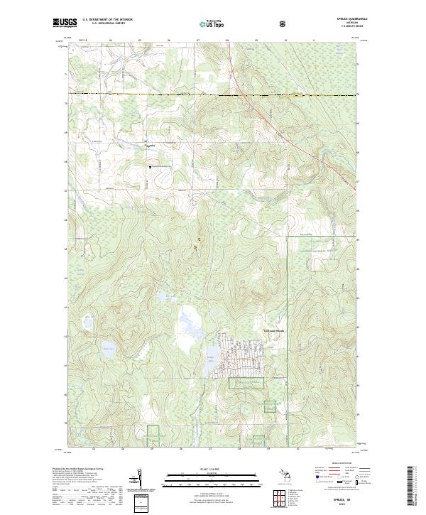
1971 Spruce
Alcona County, MI
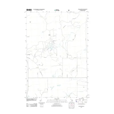
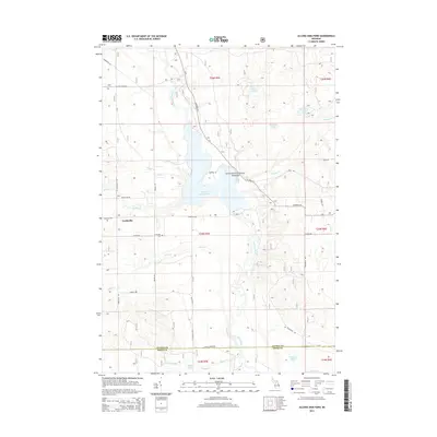
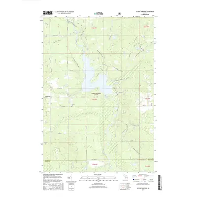
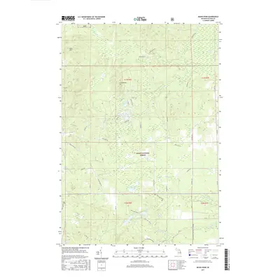
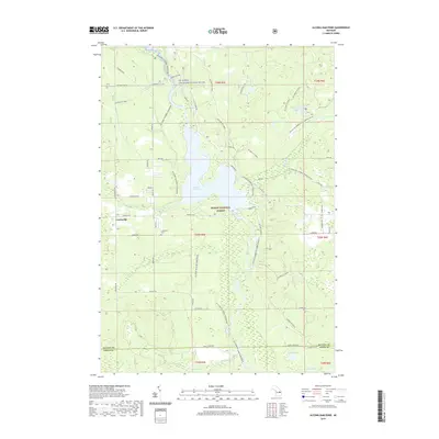
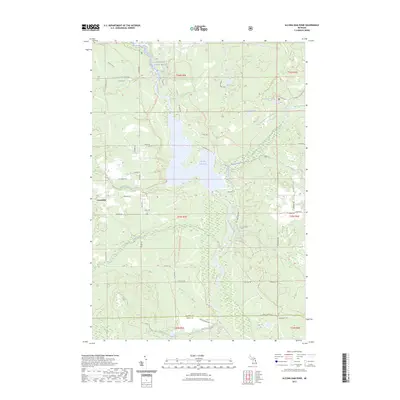
1972 Alcona Dam Pond
Alcona County, MI
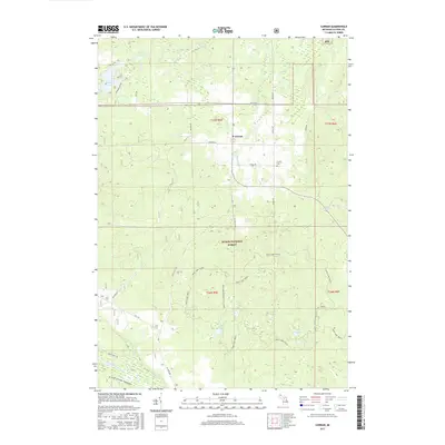
1972 Curran
Alcona County, MI
1972 Hubbard Lake SW
Alcona County, MI
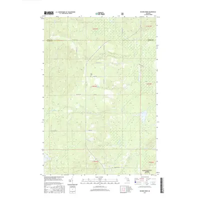
1972 McGinn Creek
Alcona County, MI
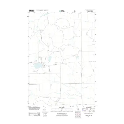
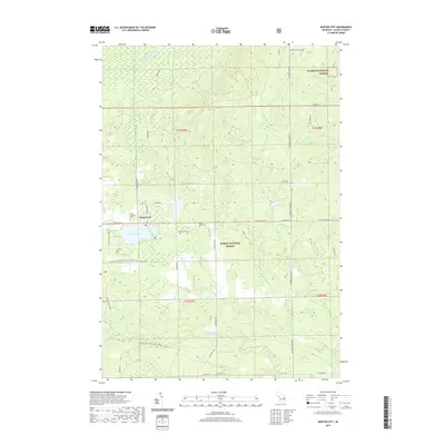
1989 Barton City
Alcona County, MI
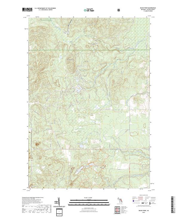
1989 Bucks Pond
Alcona County, MI
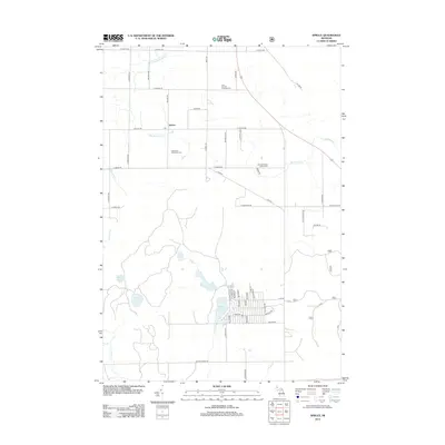
1989 Glennie
Alcona County, MI
1989 Greenbush
Alcona County, MI
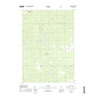
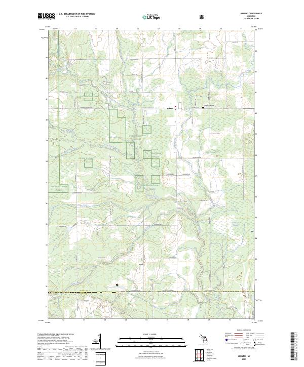
1989 Mikado
Alcona County, MI
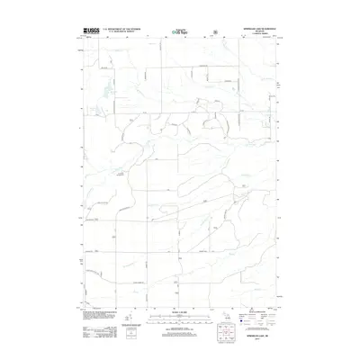
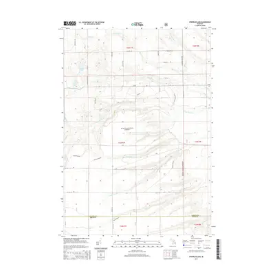
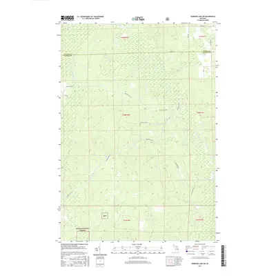
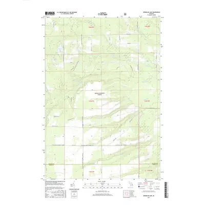
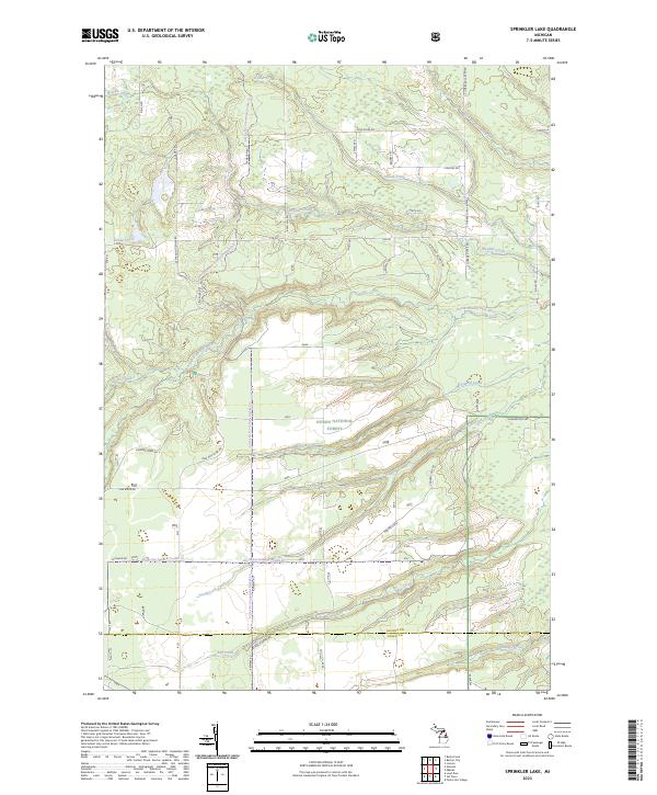
1989 Sprinkler Lake
Alcona County, MI
2011 Greenbush
Alcona County, MI
2012 Alcona Dam Pond
Alcona County, MI
2012 Barton City
Alcona County, MI
2012 Black River
Alcona County, MI
2012 Bucks Pond
Alcona County, MI
2012 Curran
Alcona County, MI
2012 Glennie
Alcona County, MI
2012 Hubbard Lake SW
Alcona County, MI
2012 McGinn Creek
Alcona County, MI
2012 Mikado
Alcona County, MI
2012 Sprinkler Lake
Alcona County, MI
2012 Spruce
Alcona County, MI
2014 Alcona Dam Pond
Alcona County, MI
2014 Barton City
Alcona County, MI
2014 Black River
Alcona County, MI
2014 Bucks Pond
Alcona County, MI
2014 Curran
Alcona County, MI
2014 Glennie
Alcona County, MI
2014 Greenbush
Alcona County, MI
2014 Hubbard Lake SW
Alcona County, MI
2014 McGinn Creek
Alcona County, MI
2014 Mikado
Alcona County, MI
2014 Sprinkler Lake
Alcona County, MI
2014 Spruce
Alcona County, MI
2017 Alcona Dam Pond
Alcona County, MI
2017 Barton City
Alcona County, MI
2017 Black River
Alcona County, MI
2017 Bucks Pond
Alcona County, MI
2017 Curran
Alcona County, MI
2017 Glennie
Alcona County, MI
2017 Greenbush
Alcona County, MI
2017 Hubbard Lake SW
Alcona County, MI
2017 McGinn Creek
Alcona County, MI
2017 Mikado
Alcona County, MI
2017 Sprinkler Lake
Alcona County, MI
2017 Spruce
Alcona County, MI
2019 Alcona Dam Pond
Alcona County, MI
2019 Barton City
Alcona County, MI
2019 Black River
Alcona County, MI
2019 Bucks Pond
Alcona County, MI
2019 Curran
Alcona County, MI
2019 Glennie
Alcona County, MI
2019 Greenbush
Alcona County, MI
2019 Hubbard Lake SW
Alcona County, MI
2019 McGinn Creek
Alcona County, MI
2019 Mikado
Alcona County, MI
2019 Sprinkler Lake
Alcona County, MI
2019 Spruce
Alcona County, MI
2023 Alcona Dam Pond
Alcona County, MI
2023 Barton City
Alcona County, MI
2023 Black River
Alcona County, MI
2023 Bucks Pond
Alcona County, MI
2023 Curran
Alcona County, MI
2023 Glennie
Alcona County, MI
2023 Greenbush
Alcona County, MI
2023 Hubbard Lake SW
Alcona County, MI
2023 McGinn Creek
Alcona County, MI
2023 Mikado
Alcona County, MI
2023 Sprinkler Lake
Alcona County, MI
2023 Spruce
Alcona County, MI
Featured Locations
- Mitchell Township, MI
- Curtis Township, MI
- Hawes Township, MI
- Barton City, Hawes Township
- Bryant, Curtis Township