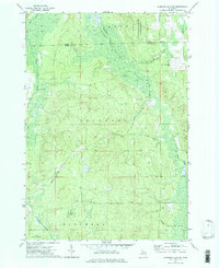
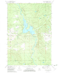
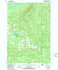
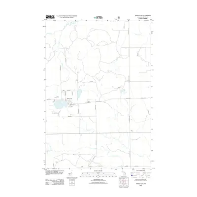
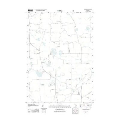
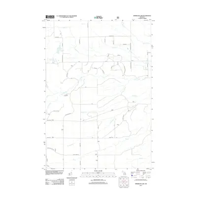
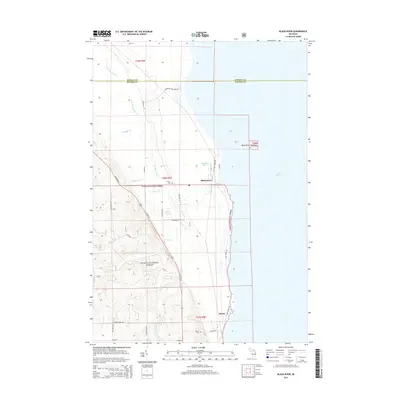
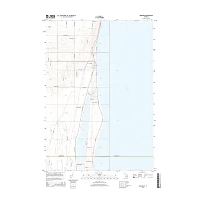
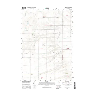
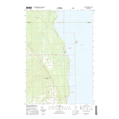
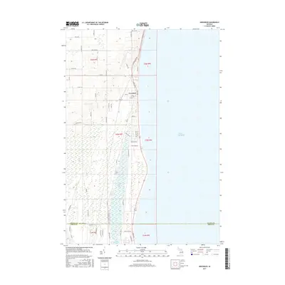
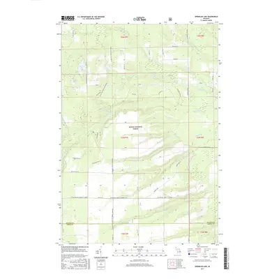
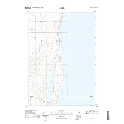
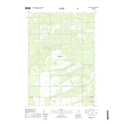
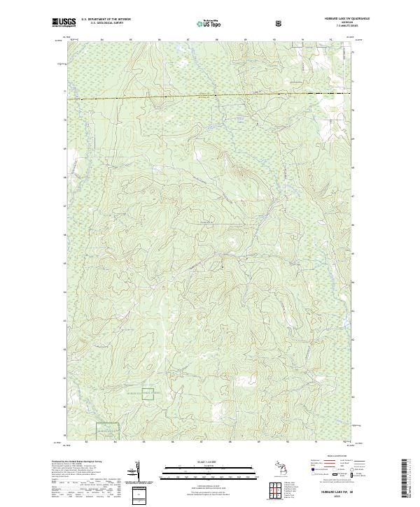
1972 Map of Hubbard Lake SW
USGS Topo · Published 1975About this map
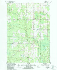
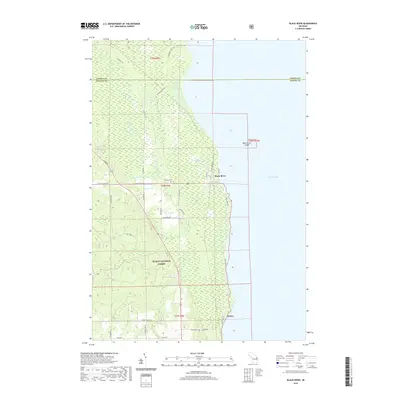
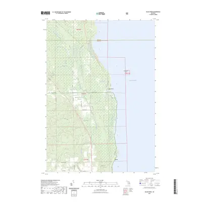
Thunder Bay River State Forest and the Huron National Forest dominate this 1970s landscape, illustrating a heavily wooded and marshy interface between Alcona and Alpena counties. Small-scale development is concentrated around Hubbard Lake Village, which is supported by a local Airfield, while the settlement of Comstock sits further south along Comstock Cr. The presence of a Covered Bridge over Wolf Creek highlights the rural infrastructure of the era, where seasonal roads and a Trail network navigated the extensive Swamp lands.
Find a feature on this map
23 named features on this map. Tap any name to fly to it.
Don’t see what you’re looking for? This feature index may not catch every label — zoom into the map to look around manually.
Map Details
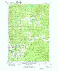
Editions of this 1972 Hubbard Lake SW Map
2 editions found
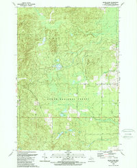
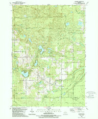
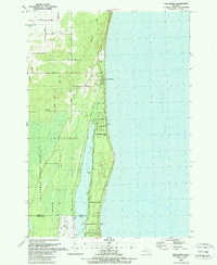
Historical Maps of Hawes Township Through Time
73 maps found
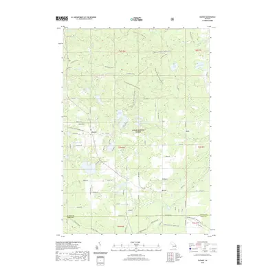
1959 Glennie
Alcona County, MI
1971 Black River
Alcona County, MI
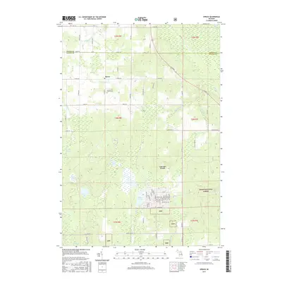
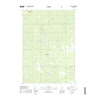
1971 Spruce
Alcona County, MI
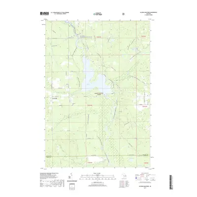
1972 Alcona Dam Pond
Alcona County, MI
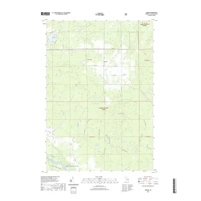
1972 Curran
Alcona County, MI
1972 Hubbard Lake SW
Alcona County, MI
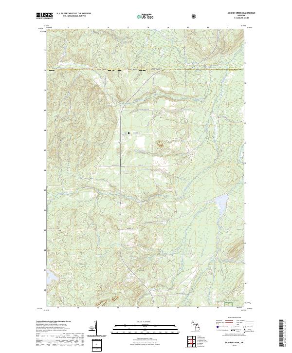
1972 McGinn Creek
Alcona County, MI
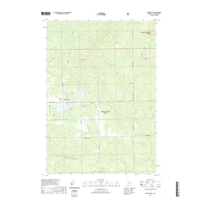
1989 Barton City
Alcona County, MI
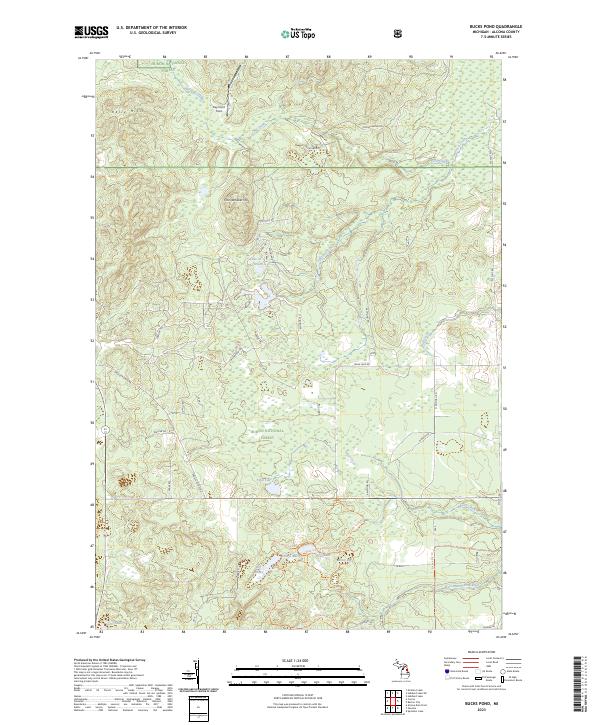
1989 Bucks Pond
Alcona County, MI
1989 Glennie
Alcona County, MI
1989 Greenbush
Alcona County, MI
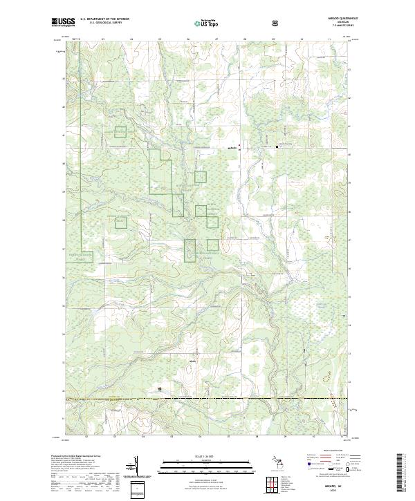
1989 Mikado
Alcona County, MI
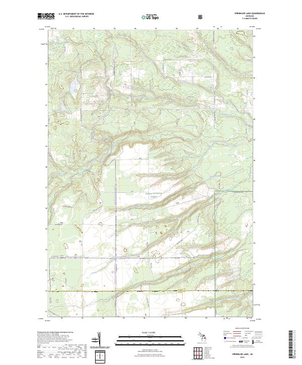
1989 Sprinkler Lake
Alcona County, MI
2011 Greenbush
Alcona County, MI
2012 Alcona Dam Pond
Alcona County, MI
2012 Barton City
Alcona County, MI
2012 Black River
Alcona County, MI
2012 Bucks Pond
Alcona County, MI
2012 Curran
Alcona County, MI
2012 Glennie
Alcona County, MI
2012 Hubbard Lake SW
Alcona County, MI
2012 McGinn Creek
Alcona County, MI
2012 Mikado
Alcona County, MI
2012 Sprinkler Lake
Alcona County, MI
2012 Spruce
Alcona County, MI
2014 Alcona Dam Pond
Alcona County, MI
2014 Barton City
Alcona County, MI
2014 Black River
Alcona County, MI
2014 Bucks Pond
Alcona County, MI
2014 Curran
Alcona County, MI
2014 Glennie
Alcona County, MI
2014 Greenbush
Alcona County, MI
2014 Hubbard Lake SW
Alcona County, MI
2014 McGinn Creek
Alcona County, MI
2014 Mikado
Alcona County, MI
2014 Sprinkler Lake
Alcona County, MI
2014 Spruce
Alcona County, MI
2017 Alcona Dam Pond
Alcona County, MI
2017 Barton City
Alcona County, MI
2017 Black River
Alcona County, MI
2017 Bucks Pond
Alcona County, MI
2017 Curran
Alcona County, MI
2017 Glennie
Alcona County, MI
2017 Greenbush
Alcona County, MI
2017 Hubbard Lake SW
Alcona County, MI
2017 McGinn Creek
Alcona County, MI
2017 Mikado
Alcona County, MI
2017 Sprinkler Lake
Alcona County, MI
2017 Spruce
Alcona County, MI
2019 Alcona Dam Pond
Alcona County, MI
2019 Barton City
Alcona County, MI
2019 Black River
Alcona County, MI
2019 Bucks Pond
Alcona County, MI
2019 Curran
Alcona County, MI
2019 Glennie
Alcona County, MI
2019 Greenbush
Alcona County, MI
2019 Hubbard Lake SW
Alcona County, MI
2019 McGinn Creek
Alcona County, MI
2019 Mikado
Alcona County, MI
2019 Sprinkler Lake
Alcona County, MI
2019 Spruce
Alcona County, MI
2023 Alcona Dam Pond
Alcona County, MI
2023 Barton City
Alcona County, MI
2023 Black River
Alcona County, MI
2023 Bucks Pond
Alcona County, MI
2023 Curran
Alcona County, MI
2023 Glennie
Alcona County, MI
2023 Greenbush
Alcona County, MI
2023 Hubbard Lake SW
Alcona County, MI
2023 McGinn Creek
Alcona County, MI
2023 Mikado
Alcona County, MI
2023 Sprinkler Lake
Alcona County, MI
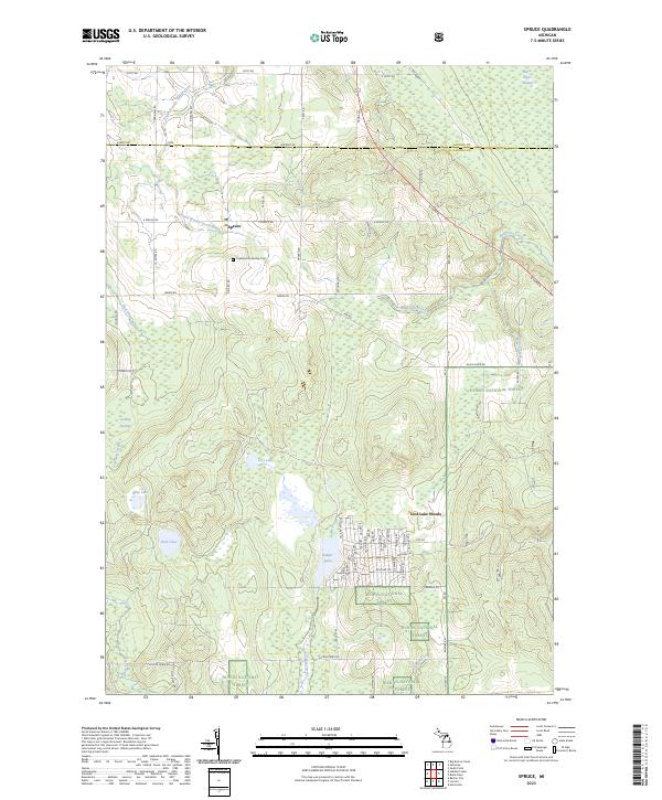
2023 Spruce
Alcona County, MI
Featured Locations
- Ossineke Township, MI
- Mitchell Township, MI
- Alcona Township, MI
- Caledonia Township, MI
- Hawes Township, MI