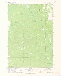
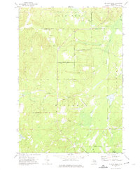
1972 Map of Hubbard Lake SW
USGS Topo · Published 1975About this map
Thunder Bay River and the forested expanse of the Huron National Forest define this landscape along the border of Alpena and Alcona counties. The 1972 survey captures the transition from managed state lands to the rural outposts of Comstock and the small-scale aviation at the Hubbard Lake Village Airfield. The map reveals a network of watercourses feeding into the larger lake system, including Wolf Creek, Widner Creek, and Little North Creek.
Find a feature on this map
24 named features on this map. Tap any name to fly to it.
Don’t see what you’re looking for? This feature index may not catch every label — zoom into the map to look around manually.
Map Details
Editions of this 1972 Hubbard Lake SW Map
2 editions found
Other maps of this area

1954 · Tawas City
USGS Topo · 1:250,000

1958 · Tawas City
USGS Topo · 1:250,000

1959 · Glennie
USGS Topo · 1:62,500

1972 · Hubbard Lake
USGS Topo · 1:24,000

1972 · Curran
USGS Topo · 1:24,000

1972 · Hubbard Lake SW
USGS Topo · 1:24,000
1972 · Big Ravine Creek
USGS Topo · 1:24,000
1972 · Beaver Lake
USGS Topo · 1:24,000
1972 · Evans Creek
USGS Topo · 1:24,000
1972 · McGinn Creek
USGS Topo · 1:24,000
Featured Places
- Hawes Township, MI
- Mitchell Township, MI
- Ossineke Township, MI
- Caledonia Township, MI
- Alcona Township, MI