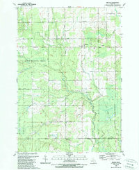
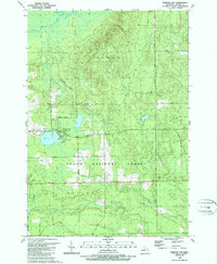
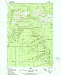
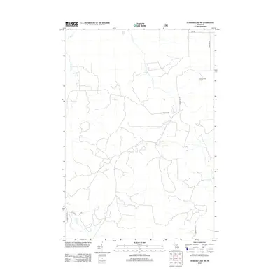
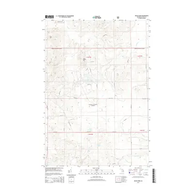
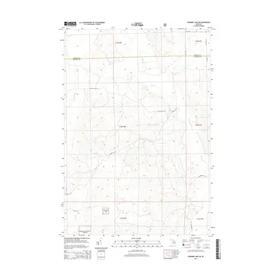
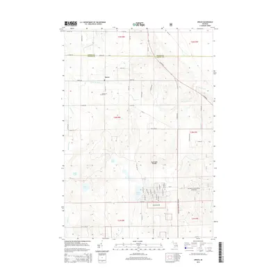
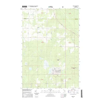
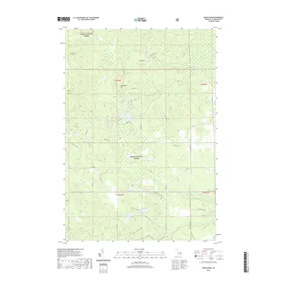
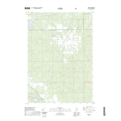
1989 Map of Mikado
USGS Topo · Published 1989About this map
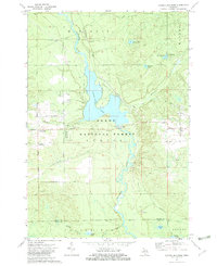
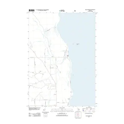
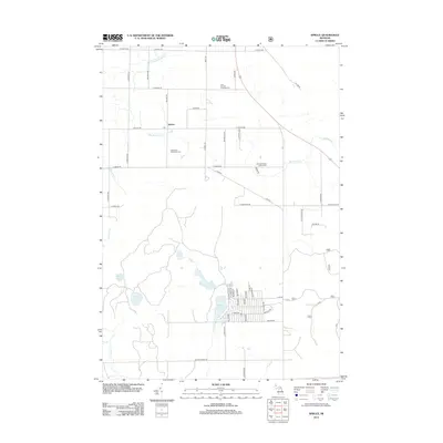
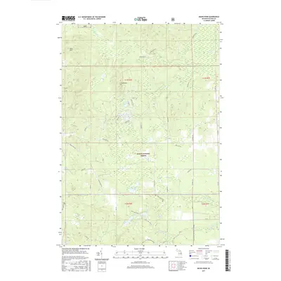
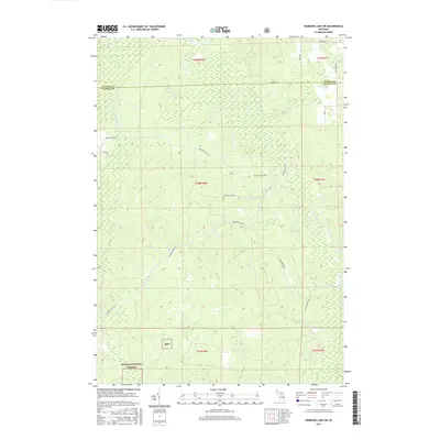
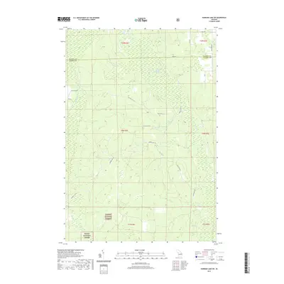
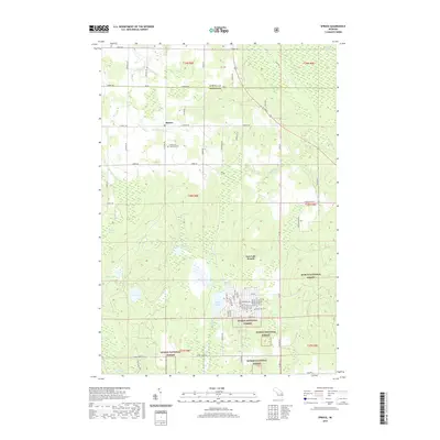
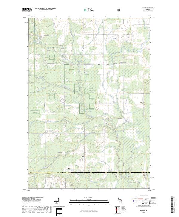
Mikado serves as the primary settlement in this northern Michigan landscape, characterized by its grid of country roads and intersecting public lands. The township is a convergence point for the Huron National Forest and the Au Sable State Forest, with the terrain marked by several waterways including the winding Pine River and Van Etten Creek. Local civic life is evidenced by the cluster of churches in the village, such as St Raphael Ch and Calvary Ch, while the southern border features the Oscoda Indian Mission near the Alcona and Iosco county line.
Find a feature on this map
44 named features on this map. Tap any name to fly to it.
Don’t see what you’re looking for? This feature index may not catch every label — zoom into the map to look around manually.
Map Details
Editions of this 1989 Mikado Map
This is the sole edition of this map. No revisions or reprints were ever made.
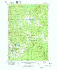
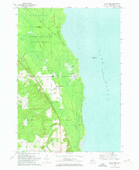
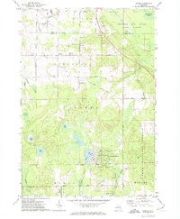
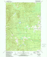
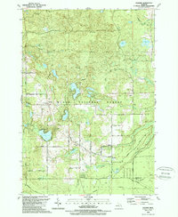
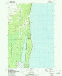
Historical Maps of Mikado Through Time
73 maps found
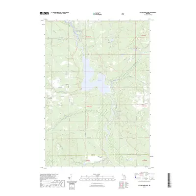
1959 Glennie
Alcona County, MI
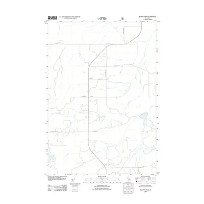
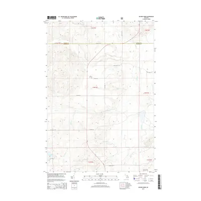
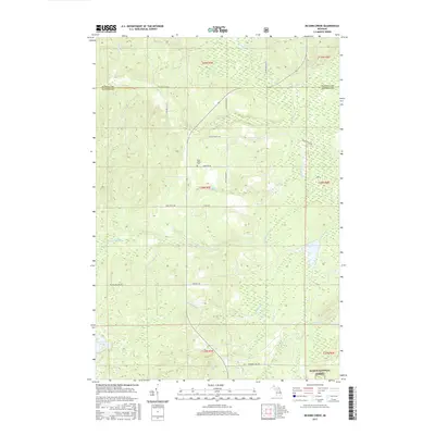
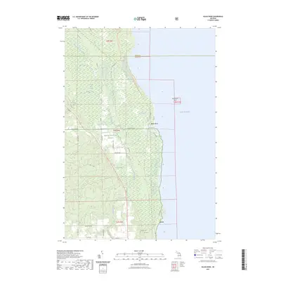
1971 Black River
Alcona County, MI
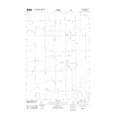
1971 Spruce
Alcona County, MI
1972 Alcona Dam Pond
Alcona County, MI
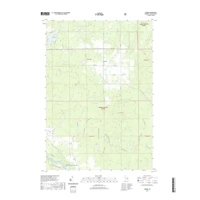
1972 Curran
Alcona County, MI
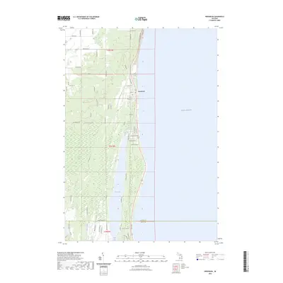
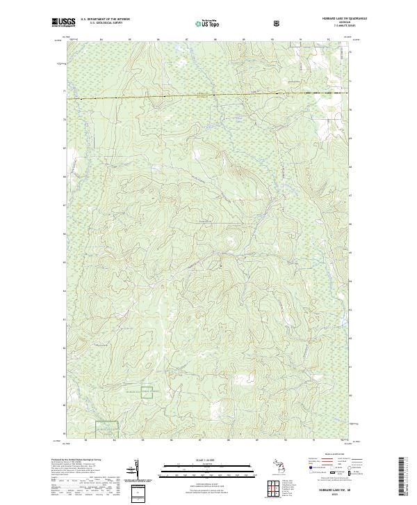
1972 Hubbard Lake SW
Alcona County, MI
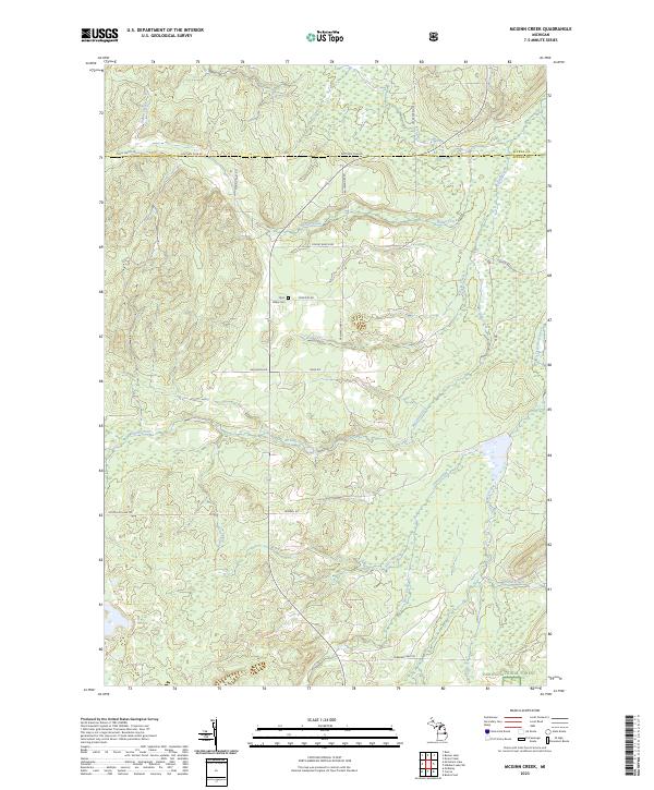
1972 McGinn Creek
Alcona County, MI
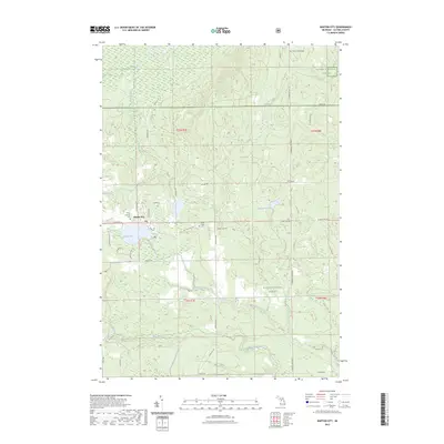
1989 Barton City
Alcona County, MI
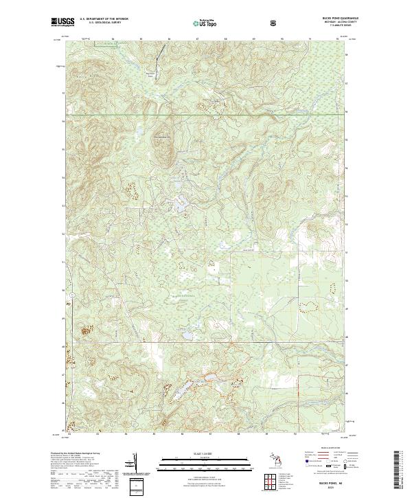
1989 Bucks Pond
Alcona County, MI
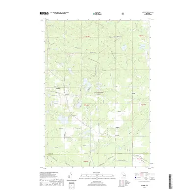
1989 Glennie
Alcona County, MI
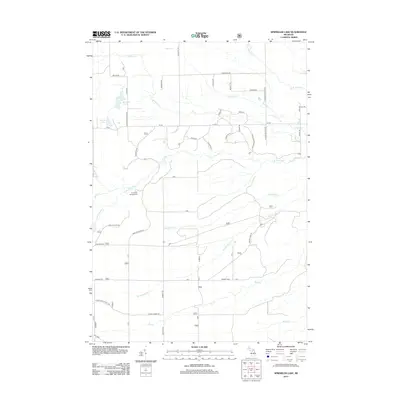
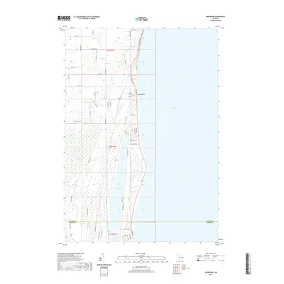
1989 Greenbush
Alcona County, MI
1989 Mikado
Alcona County, MI
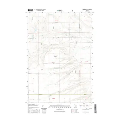
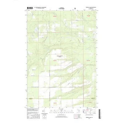
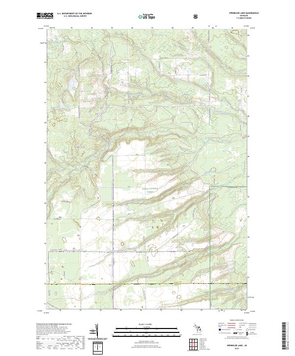
1989 Sprinkler Lake
Alcona County, MI
2011 Greenbush
Alcona County, MI
2012 Alcona Dam Pond
Alcona County, MI
2012 Barton City
Alcona County, MI
2012 Black River
Alcona County, MI
2012 Bucks Pond
Alcona County, MI
2012 Curran
Alcona County, MI
2012 Glennie
Alcona County, MI
2012 Hubbard Lake SW
Alcona County, MI
2012 McGinn Creek
Alcona County, MI
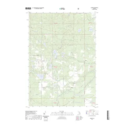
2012 Mikado
Alcona County, MI
2012 Sprinkler Lake
Alcona County, MI
2012 Spruce
Alcona County, MI
2014 Alcona Dam Pond
Alcona County, MI
2014 Barton City
Alcona County, MI
2014 Black River
Alcona County, MI
2014 Bucks Pond
Alcona County, MI
2014 Curran
Alcona County, MI
2014 Glennie
Alcona County, MI
2014 Greenbush
Alcona County, MI
2014 Hubbard Lake SW
Alcona County, MI
2014 McGinn Creek
Alcona County, MI
2014 Mikado
Alcona County, MI
2014 Sprinkler Lake
Alcona County, MI
2014 Spruce
Alcona County, MI
2017 Alcona Dam Pond
Alcona County, MI
2017 Barton City
Alcona County, MI
2017 Black River
Alcona County, MI
2017 Bucks Pond
Alcona County, MI
2017 Curran
Alcona County, MI
2017 Glennie
Alcona County, MI
2017 Greenbush
Alcona County, MI
2017 Hubbard Lake SW
Alcona County, MI
2017 McGinn Creek
Alcona County, MI
2017 Mikado
Alcona County, MI
2017 Sprinkler Lake
Alcona County, MI
2017 Spruce
Alcona County, MI
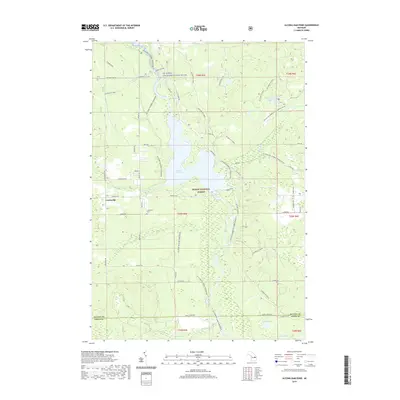
2019 Alcona Dam Pond
Alcona County, MI
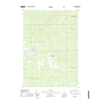
2019 Barton City
Alcona County, MI
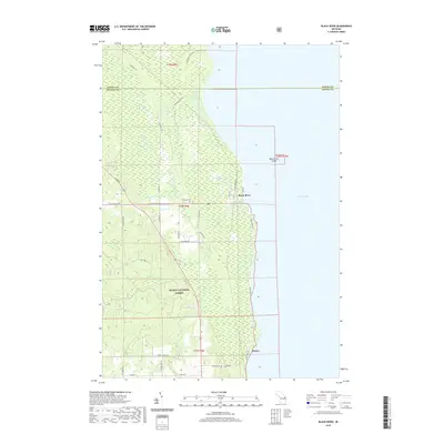
2019 Black River
Alcona County, MI
2019 Bucks Pond
Alcona County, MI
2019 Curran
Alcona County, MI
2019 Glennie
Alcona County, MI
2019 Greenbush
Alcona County, MI
2019 Hubbard Lake SW
Alcona County, MI
2019 McGinn Creek
Alcona County, MI
2019 Mikado
Alcona County, MI
2019 Sprinkler Lake
Alcona County, MI
2019 Spruce
Alcona County, MI
2023 Alcona Dam Pond
Alcona County, MI
2023 Barton City
Alcona County, MI
2023 Black River
Alcona County, MI
2023 Bucks Pond
Alcona County, MI
2023 Curran
Alcona County, MI
2023 Glennie
Alcona County, MI
2023 Greenbush
Alcona County, MI
2023 Hubbard Lake SW
Alcona County, MI
2023 McGinn Creek
Alcona County, MI
2023 Mikado
Alcona County, MI
2023 Sprinkler Lake
Alcona County, MI
2023 Spruce
Alcona County, MI
Featured Locations
- Greenbush Township, MI
- Gustin Township, MI
- Harrisville Township, MI
- Oscoda Township, MI
- Mikado, Mikado Township