
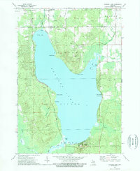
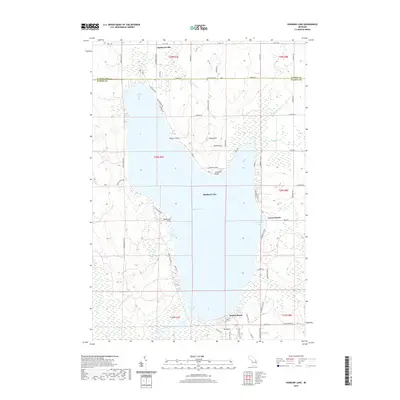
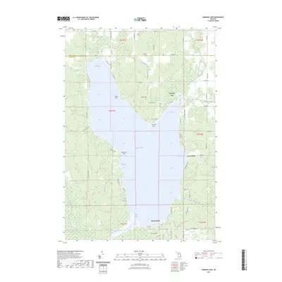
1983 Map of Hubbard Lake
USGS Topo · Published 1984About this map
Hubbard Lake dominates this Northern Michigan landscape, serving as a central focal point for a region defined by extensive public lands and scattered rural settlements. Along the eastern shore of Lake Huron, the Detroit and Mackinac railway corridor links coastal communities like Ossineke, Greenbush, and Harrisville. Further inland, the map reveals a network of smaller towns such as Barton City, Mikado, and Spruce, which are often surrounded by the dense timber of the Huron National Forest and Mackinaw State Forest.
Find a feature on this map
125 named features on this map. Tap any name to fly to it.
Don’t see what you’re looking for? This feature index may not catch every label — zoom into the map to look around manually.
Map Details
Editions of this 1983 Hubbard Lake Map
This is the sole edition of this map. No revisions or reprints were ever made.
Historical Maps of Ossineke Through Time
7 maps found
Featured Locations
- Ossineke, Sanborn Township
- Alcona, Haynes Township
- Greenbush, Greenbush Township
- Gustin, Gustin Township
- Mikado, Mikado Township