
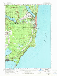
1959 Map of East Tawas
USGS Topo · Published 1960About this map
Wurtsmith Air Force Base dominates the northern landscape of this Iosco County shoreline during the late 1950s, showcasing the significant military presence alongside the established coastal communities of Oscoda and Au Sable. The Au Sable River winds toward the Lake Huron coast, punctuated by engineering features like the Foote Dam and the nearby Foote Site Village. To the south, the city of East Tawas serves as a commercial hub, bordered by Tawas Lake and the natural harbor of Tawas Bay. Cultural landmarks of the era are clearly visible, including a Drive-in Theater near the city limits and the Sevenmile Hill Lookout Tower within the Huron National Forest. For genealogists, the map preserves the locations of Chippewa Cem and Greenwood Cem, providing a detailed view of the region's mid-century settlement patterns and recreational areas like Old Orchard Park.
Find a feature on this map
45 named features on this map. Tap any name to fly to it.
Don’t see what you’re looking for? This feature index may not catch every label — zoom into the map to look around manually.
Map Details
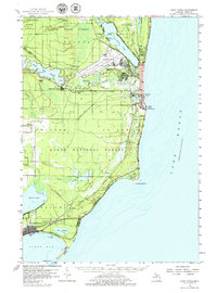
Editions of this 1959 East Tawas Map
3 editions found
Other maps of this area

1954 · Tawas City
USGS Topo · 1:250,000

1958 · Tawas City
USGS Topo · 1:250,000

1959 · Tawas City
USGS Topo · 1:62,500

1959 · Glennie
USGS Topo · 1:62,500

1959 · Harrisville
USGS Topo · 1:62,500

1966 · Alabaster
USGS Topo · 1:24,000

1983 · Hubbard Lake
USGS Topo · 1:100,000

1984 · Tawas City
USGS Topo · 1:100,000

1989 · Mikado
USGS Topo · 1:24,000
1989 · Greenbush
USGS Topo · 1:24,000