2000s (21st Century) Maps of Arenac Township, Michigan
Explore 20 historic maps of Arenac Township from the 2000s (21st Century). These maps offer a rare glimpse into what life looked like during the 2000s — showing old roads, neighborhoods, homes, and landmarks that have changed or disappeared over time.
Whether you're researching your family's past, planning a metal detecting trip, or studying how Arenac Township's landscape evolved across the 2000s, these high-resolution maps are a powerful tool for exploring the history of this region.
- Focus on a specific era: All maps on this page are from the 2000s, giving you a focused view of this time period.
- See what’s changed: Compare century-old streets, trails, and buildings to today's modern landscape using overlays and satellite layers.
- Research with precision: Use these maps for genealogy, historical research, land use analysis, or educational projects.
- View, download, or print: Maps are fully viewable online in high resolution, and can be downloaded or printed for your own records.
Start exploring Arenac Township's history through authentic maps from the 2000s. This is your window into the past.
Arenac Township, MI maps
(20)- 2011 Map of Omer, 2011 Print
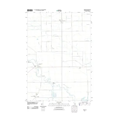 2011 Omer2011 Print · USGSArenac County's river-driven geography is captured here in the early twenty-first century, centered on the communities of Omer and Twining. Local historians can trace cemetery locations like Saint Edwards Catholic Cemetery or follow the winding Rifle River past its many riverside camps and crossings.
 - 2011 Map of Omer SW, 2011 Print
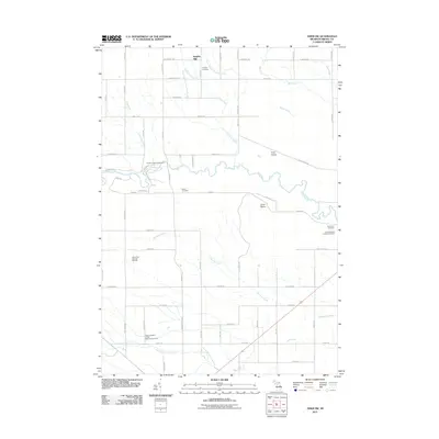 2011 Omer SW2011 Print · USGSArenac County’s rural interior is captured here in the early twenty-first century, showing a landscape shaped by river valleys and extractive industry. Family researchers can locate numerous burial sites such as Clayton Cemetery and Plains Cemetery, or trace the Deep River Gas and Oil Field.
 - 2011 Map of Standish NE, 2011 Print
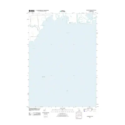 2011 Standish NE2011 Print · USGSCoastal Michigan meets the waters of the Great Lakes in this 2011 survey of the Saginaw Bay shoreline. Trace the winding paths of the Rifle River and Pine River, and locate landmarks like Greens Point and Saganing Bar.
 - 2011 Map of Standish, 2011 Print
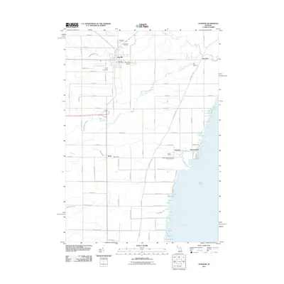 2011 Standish2011 Print · USGSThe Standish area and the shoreline of Saginaw Bay are shown here in the early twenty-first century as the landscape transitioned toward modern recreation. Researchers can trace local lineage through several burial sites like the Pine River Cemetery or the Saganing Indian Methodist Mission Cemetery.
 - 2014 Map of Standish, 2014 Print
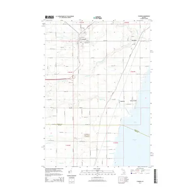 2014 Standish2014 Print · USGSThe Arenac County shoreline and the city of Standish are documented here as they appeared in the early twenty-first century. Researchers can trace family history through several local burial grounds, including Woodmere Cem and Pine River Cem, or explore the coastal drainage around Whites Beach.
 - 2014 Map of Omer, 2014 Print
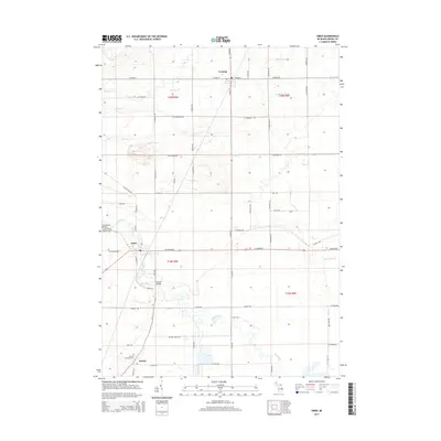 2014 Omer2014 Print · USGSArenac County, Michigan, is shown here during the early twenty-first century as a rural landscape shaped by the Rifle River. Researchers can trace local lineage through sites like Saint Edwards Catholic Cem, the old Arenac settlement, and Huckle Bridge.
 - 2014 Map of Omer SW, 2014 Print
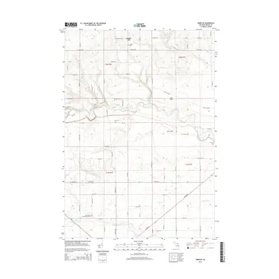 2014 Omer SW2014 Print · USGSArenac County’s river valleys and rural cemeteries are preserved in this 2014 survey. Researchers can locate family landmarks such as Knights Mill, Plains Cem, and the Saint Joseph's Polish National Cem along the Rifle River corridor.
 - 2014 Map of Standish NE, 2014 Print
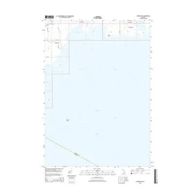 2014 Standish NE2014 Print · USGSThe coastal interface of Arenac County meets the waters of Lake Huron in this early twenty-first-century survey. Genealogists and researchers can trace local land patterns along the Pine River and Rifle River, or locate family properties near State Rd and Greens Point.
 - 2017 Map of Standish NE, 2017 Print
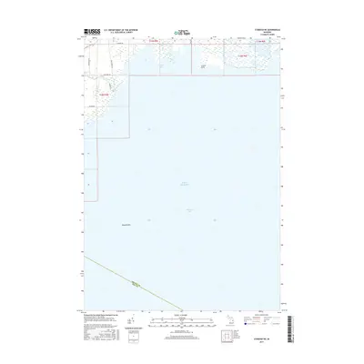 2017 Standish NE2017 Print · USGSThe coastal wetlands and river mouths of Arenac County are documented here in the late twenty-tens. Researchers can trace the drainage of the Rifle River into Wigwam Bay and locate family-named routes like Palmer Rd and Kraushaar Rd.
 - 2017 Map of Omer, 2017 Print
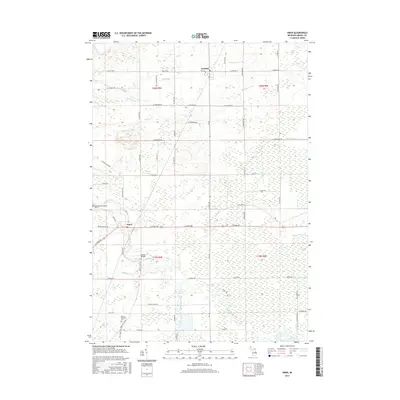 2017 Omer2017 Print · USGSArenac County, Michigan, is depicted in the mid-2010s as a region defined by the winding Rifle River and its managed drainage systems. Genealogists and local historians can locate the Arenac Township Cem and Saint Edwards Catholic Cem or trace the river past Huckle Bridge.
 - 2017 Map of Omer SW, 2017 Print
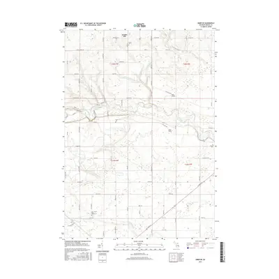 2017 Omer SW2017 Print · USGSArenac County's rural townships and river valleys are captured here in the late twenty-teens. Researchers can locate specific family history sites like Saint Joseph's Polish National Cem, Knights Mill, and Evergreen Cem.
 - 2017 Map of Standish, 2017 Print
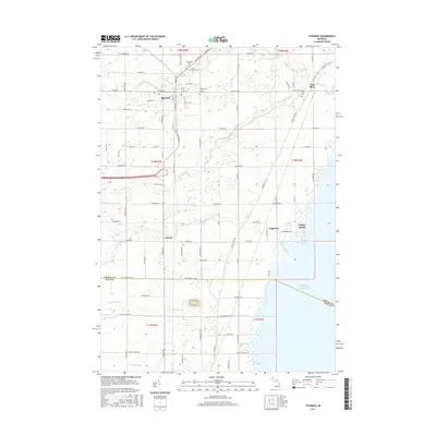 2017 Standish2017 Print · USGSThe western shore of Lake Huron meets the river-fed plains of Arenac County in the years following the millennium. Trace family roots and local history at Woodmere Cem, the lakeside community of Whites Beach, and the historic crossroads of Worth.
 - 2019 Map of Standish, 2019 Print
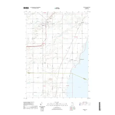 2019 Standish2019 Print · USGSCovers Arenac Township, including Standish, Deep River Township, and other nearby areas
 - 2019 Map of Standish NE, 2019 Print
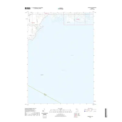 2019 Standish NE2019 Print · USGSThe shorelines of Arenac County meet the waters of Lake Huron in this recent survey of the Michigan coast. Genealogists and local historians can trace the paths of Arenac State Rd and Main Street Rd as they lead toward Wigwam Bay and the mouth of the Pine River.
 - 2019 Map of Omer, 2019 Print
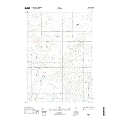 2019 Omer2019 Print · USGSThe Rifle River valley in Arenac County comes into sharp focus during the late 2010s. Genealogists and local historians can trace the landscape between Omer and Twining, locating the Arenac Township Cem and the Huckle Bridge crossing.
 - 2019 Map of Omer SW, 2019 Print
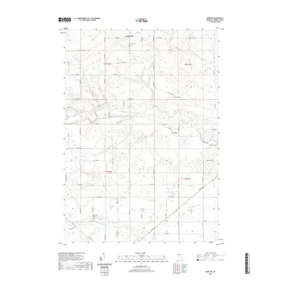 2019 Omer SW2019 Print · USGSDeep River Township and the surrounding Arenac County countryside appear in this recent survey, centered on the winding Rifle River valley. Genealogists and historians can trace family locations through numerous sites like Clayton Cem and Saint Joseph's Polish National Cem.
 - 2023 Map of Omer SW, 2023 Print
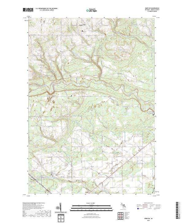 2023 Omer SW2023 Print · USGSArenac County in 2023 shows a landscape shaped by the Rifle River and its many tributaries. Genealogists can trace local roots at Saint Joseph's Polish National Cem and historical settlements like Knights Mill.
 - 2023 Map of Omer, 2023 Print
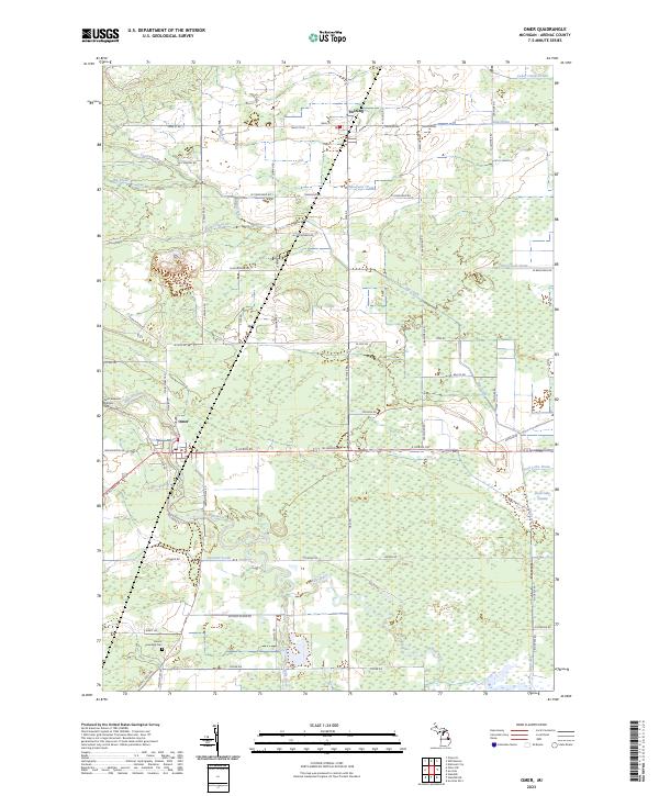 2023 Omer2023 Print · USGSArenac County is shown here in the early twenty-first century, centered on the riverfront settlement of Omer. Genealogists and local historians can locate the Saint Edwards Catholic Cem, Arenac Township Cem, and the former swamp lands of the Rifle River valley.
 - 2023 Map of Standish NE, 2023 Print
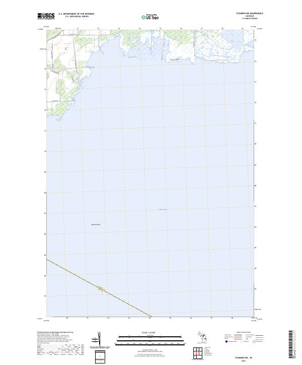 2023 Standish NE2023 Print · USGSCoastal Arenac County meets the Great Lakes in this recent study of the Saginaw Bay shoreline. Trace the river outlets at Wigwam Bay and identify landmarks like Greens Point and Saganing Bar along the wetland-rich coast.
 - 2023 Map of Standish, 2023 Print
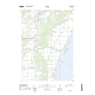 2023 Standish2023 Print · USGSThe Lake Huron coastline and the interior of Arenac County are shown here in the early 2020s. Genealogists and local historians can trace the foundations of the area at the Arenac County Courthouse and the Saganing Indian Methodist Mission Cem.
End of results
Showing maps 1-20 of 20
Top cities near Arenac Township
- Skidway Lake historical maps
- Standish historical maps
- Pinconning historical maps
- Arenac historical maps
- Au Gres historical maps
- Sterling historical maps
See more
Top neighborhoods of Arenac Township
Frequently asked questions
- What are the different types of historical maps available for Arenac Township?
- What is the oldest map of Arenac Township?
- Where can I purchase historical maps of Arenac Township for my home or office?
- Where can I download high-res historical maps of Arenac Township?
- Are there historical topographic maps available for Arenac Township?
- Is there historical aerial imagery available for Arenac Township?
- Where are historical maps of Arenac Township sourced from?