Old Maps of Standish Township, Michigan for Academic Research
Study the evolution of Standish Township with 15 high-resolution historic maps. Whether you're teaching, researching, or modeling changes in land use, these maps provide essential visual documentation of urban, environmental, and geographic change.
- Analyze long-term change: Track patterns in development, transportation, and natural features.
- Ideal for environmental or urban studies: Support academic projects with primary historical map data.
- Use in the classroom or lab: Educators and researchers rely on these maps to bring historical context to life.
These maps are a powerful tool for teaching, research, and visualizing how Standish Township has changed over the decades.
Standish Township, MI maps
(15)- 1954 Map of Flint, 1968 Print
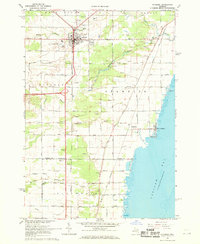
 1954 Flint1968 Print · USGSThe industrial corridor and fertile Thumb region of Michigan come alive in this mid-century survey. Genealogists and historians can trace the rail networks of the Grand Trunk, locate established settlements like Bad Axe and Sandusky, or explore the 1950s shoreline along Saginaw Bay.4 unique versions available
 - 1958 Map of Flint
 1958 Flint1958 Print · USGSThe Michigan Thumb and the Saginaw Valley are captured here during the height of the post-war industrial era. Researchers can trace the complex rail networks of the Grand Trunk Western or locate mid-century landmarks like Lakeport State Park and the port at Bay City.2 unique versions available
 - 1967 Map of Standish NE, 1969 Print
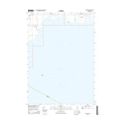
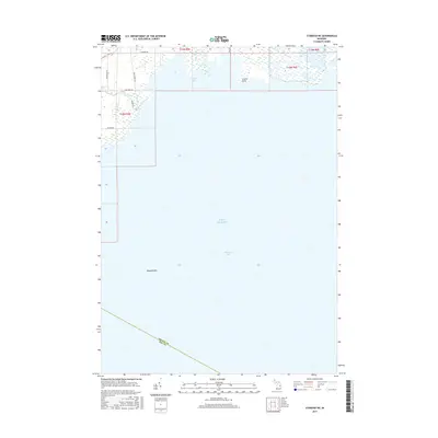
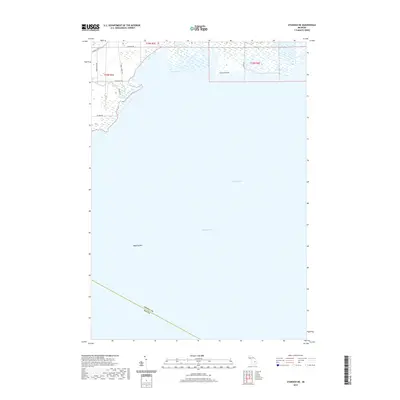
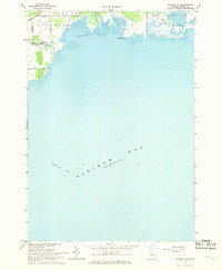 1967 Standish NE1969 Print · USGSArenac County’s shoreline on the edge of Saginaw Bay is captured in the late sixties, showing the rural roads and river mouths of Standish and Au Gres. Local historians can trace the paths of Arenac State Road and Palmer Road near the banks of the Rifle River and Wigwam Bay.
 - 1967 Map of Standish, 1969 Print
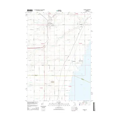
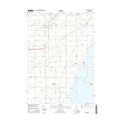
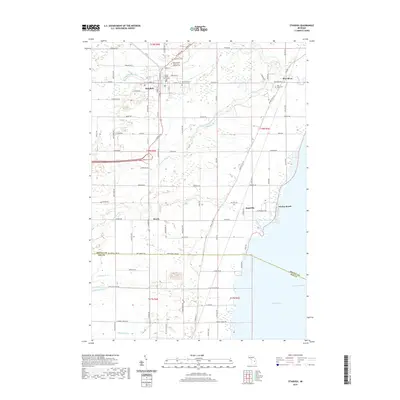
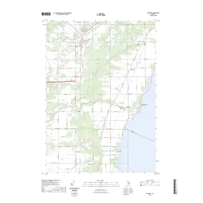
 1967 Standish1969 Print · USGSStandish at the close of the 1960s serves as a busy crossroads for the Detroit and Mackinac and Penn Central railroads. Genealogists can locate family names at Woodmere Cem and St Johns Cem, or trace the shoreline from Whites Beach to Saganing.3 unique versions available
 - 1984 Map of Bay City, 1985 Print
 1984 Bay City1985 Print · USGSSaginaw Bay and the surrounding Michigan thumb region are captured in the mid-1980s, showing a landscape defined by industrial riverfronts and expanding lakeside parks. Researchers can trace family roots through landmarks like Floral Gardens Cem or follow the Chesapeake and Ohio rail lines through towns like Bad Axe and Pigeon.
 - 2011 Map of Standish NE, 2011 Print
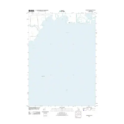 2011 Standish NE2011 Print · USGSCovers Standish Township, including Au Gres Township, Arenac Township, and other nearby areas
 - 2011 Map of Standish, 2011 Print
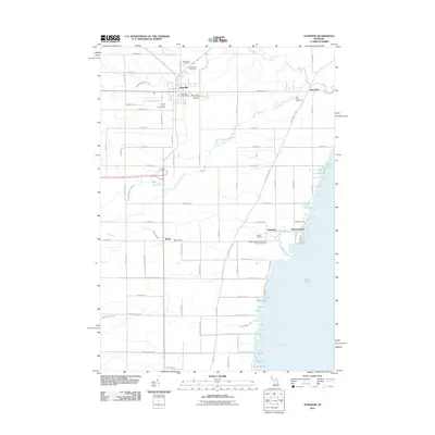 2011 Standish2011 Print · USGSCovers Standish Township, including Standish, Deep River Township, and other nearby areas
 - 2014 Map of Standish, 2014 Print
 2014 Standish2014 Print · USGSCovers Standish Township, including Standish, Deep River Township, and other nearby areas
 - 2014 Map of Standish NE, 2014 Print
 2014 Standish NE2014 Print · USGSCovers Standish Township, including Au Gres Township, Arenac Township, and other nearby areas
 - 2017 Map of Standish NE, 2017 Print
 2017 Standish NE2017 Print · USGSCovers Standish Township, including Au Gres Township, Arenac Township, and other nearby areas
 - 2017 Map of Standish, 2017 Print
 2017 Standish2017 Print · USGSCovers Standish Township, including Standish, Deep River Township, and other nearby areas
 - 2019 Map of Standish, 2019 Print
 2019 Standish2019 Print · USGSCovers Standish Township, including Standish, Deep River Township, and other nearby areas
 - 2019 Map of Standish NE, 2019 Print
 2019 Standish NE2019 Print · USGSCovers Standish Township, including Au Gres Township, Arenac Township, and other nearby areas
 - 2023 Map of Standish NE, 2023 Print
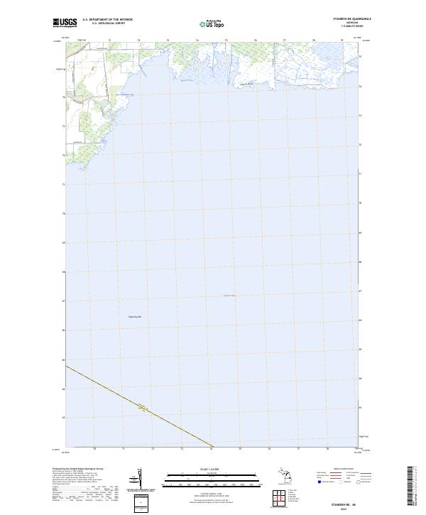 2023 Standish NE2023 Print · USGSCoastal Arenac County meets the Great Lakes in this recent study of the Saginaw Bay shoreline. Trace the river outlets at Wigwam Bay and identify landmarks like Greens Point and Saganing Bar along the wetland-rich coast.
 - 2023 Map of Standish, 2023 Print
 2023 Standish2023 Print · USGSThe Lake Huron coastline and the interior of Arenac County are shown here in the early 2020s. Genealogists and local historians can trace the foundations of the area at the Arenac County Courthouse and the Saganing Indian Methodist Mission Cem.
End of results
Showing maps 1-15 of 15
Top cities near Standish Township
- Standish historical maps
- Mount Forest historical maps
- Pinconning historical maps
- Arenac historical maps
- Au Gres historical maps
- Sterling historical maps
See more
Top neighborhoods of Standish Township
Frequently asked questions
- What are the different types of historical maps available for Standish Township?
- What is the oldest map of Standish Township?
- Where can I purchase historical maps of Standish Township for my home or office?
- Where can I download high-res historical maps of Standish Township?
- Are there historical topographic maps available for Standish Township?
- Is there historical aerial imagery available for Standish Township?
- Where are historical maps of Standish Township sourced from?