2000s (21st Century) Maps of Barry County, Michigan
Explore 100 historic maps of Barry County from the 2000s (21st Century). These maps offer a rare glimpse into what life looked like during the 2000s — showing old roads, neighborhoods, homes, and landmarks that have changed or disappeared over time.
Whether you're researching your family's past, planning a metal detecting trip, or studying how Barry County's landscape evolved across the 2000s, these high-resolution maps are a powerful tool for exploring the history of this region.
- Focus on a specific era: All maps on this page are from the 2000s, giving you a focused view of this time period.
- See what’s changed: Compare century-old streets, trails, and buildings to today's modern landscape using overlays and satellite layers.
- Research with precision: Use these maps for genealogy, historical research, land use analysis, or educational projects.
- View, download, or print: Maps are fully viewable online in high resolution, and can be downloaded or printed for your own records.
Start exploring Barry County's history through authentic maps from the 2000s. This is your window into the past.
Barry County, MI maps
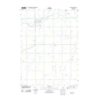
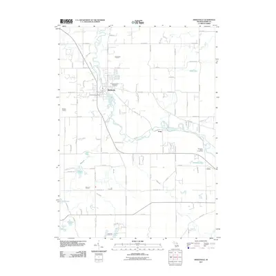
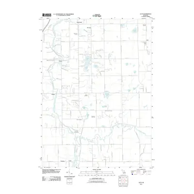
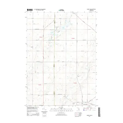
(100)- 2011 Map of Woodbury, 2011 Print
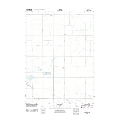 2011 Woodbury2011 Print · USGSCovers Barry County, including Sunfield, Orange Township, and other nearby areas
 - 2011 Map of Bowens Mill, 2011 Print
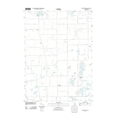 2011 Bowens Mill2011 Print · USGSCovers Barry County, including Wayland, Yankee Springs Township, and other nearby areas
 - 2011 Map of Bellevue, 2011 Print
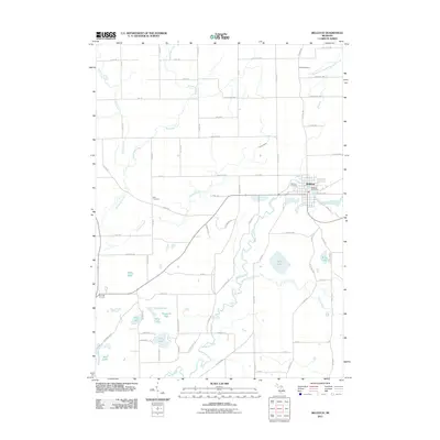 2011 Bellevue2011 Print · USGSCovers Barry County, including Bellevue, Assyria Township, and other nearby areas
 - 2011 Map of Caledonia, 2011 Print
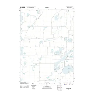
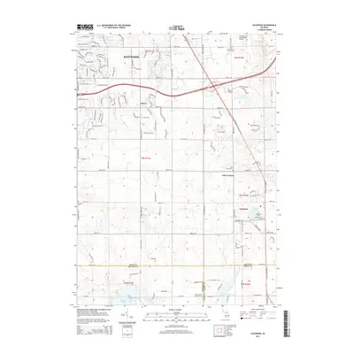
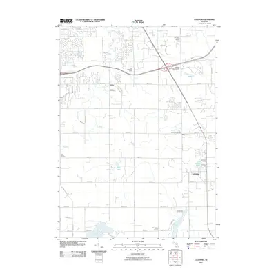 2011 Caledonia2011 Print · USGSCovers Barry County, including Kentwood, Gaines Charter Township, and other nearby areas
 - 2011 Map of Nashville, 2011 Print
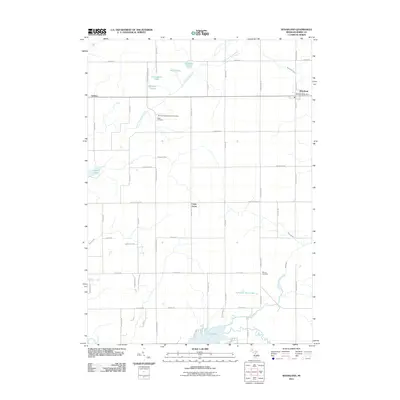
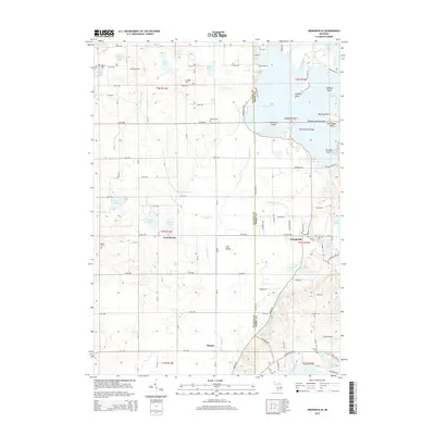
 2011 Nashville2011 Print · USGSCovers Barry County, including Kalamo, Nashville, and other nearby areas
 - 2011 Map of Lake Odessa, 2011 Print
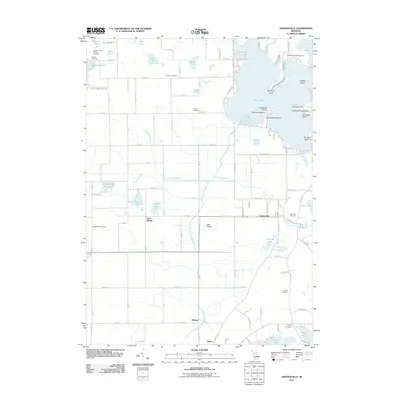
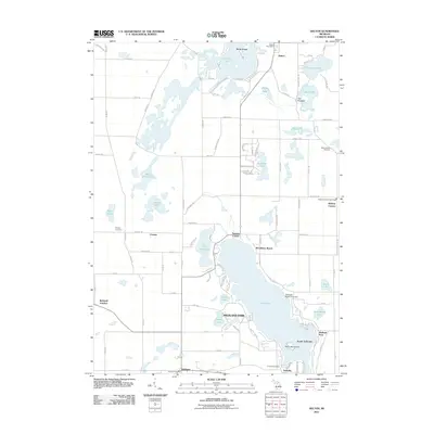
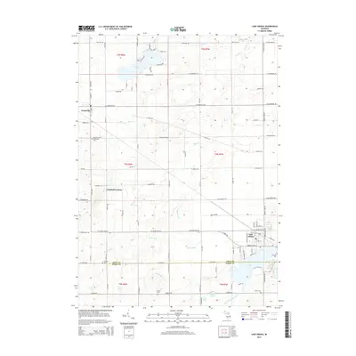
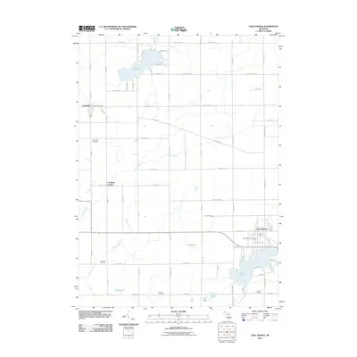 2011 Lake Odessa2011 Print · USGSCovers Barry County, including Lake Odessa, Clarksville, and other nearby areas
 - 2011 Map of Kalamazoo NE, 2011 Print
 2011 Kalamazoo NE2011 Print · USGSCovers Barry County, including Plainwell, Richland Township, and other nearby areas
 - 2011 Map of Saubee Lake, 2011 Print
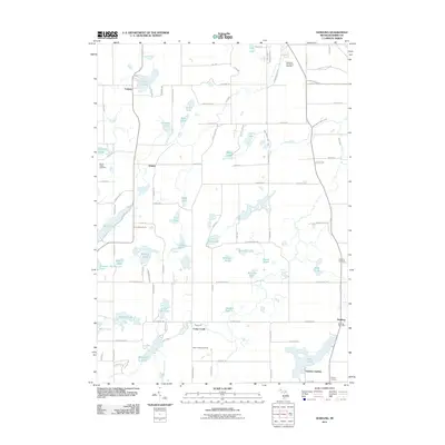
 2011 Saubee Lake2011 Print · USGSCovers Barry County, including Vermontville, Woodland, and other nearby areas
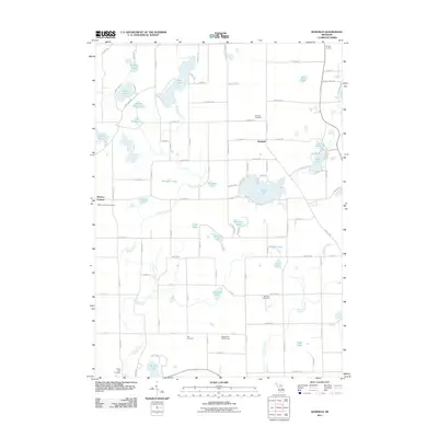
 - 2011 Map of Middleville, 2011 Print
 2011 Middleville2011 Print · USGSCovers Barry County, including Irving, Middleville, and other nearby areas
 - 2011 Map of Cloverdale, 2011 Print
 2011 Cloverdale2011 Print · USGSCovers Barry County, including Prairieville, Yankee Springs Township, and other nearby areas
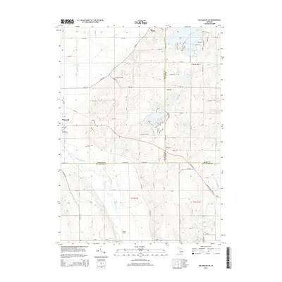
 - 2011 Map of Orangeville, 2011 Print
 2011 Orangeville2011 Print · USGSCovers Barry County, including Orangeville, Yankee Springs Township, and other nearby areas
 - 2011 Map of Bedford, 2011 Print
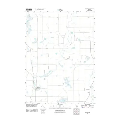 2011 Bedford2011 Print · USGSCovers Barry County, including Assyria, Johnstown Township, and other nearby areas
 - 2011 Map of Alto, 2011 Print
 2011 Alto2011 Print · USGSCovers Barry County, including Cascade Charter Township, Lowell Charter Township, and other nearby areas
 - 2011 Map of Maple Grove, 2011 Print
 2011 Maple Grove2011 Print · USGSCovers Barry County, including Baltimore Township, Johnstown Township, and other nearby areas
 - 2011 Map of Hastings, 2011 Print
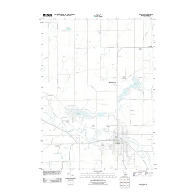 2011 Hastings2011 Print · USGSCovers Barry County, including Hastings, Carlton, and other nearby areas
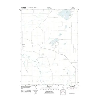
 - 2011 Map of Banfield, 2011 Print
 2011 Banfield2011 Print · USGSCovers Barry County, including Johnstown Township, Barry Township, and other nearby areas
 - 2011 Map of Delton, 2011 Print
 2011 Delton2011 Print · USGSCovers Barry County, including Richland, Richland Township, and other nearby areas
 - 2011 Map of Woodland, 2011 Print
 2011 Woodland2011 Print · USGSCovers Barry County, including Woodland, Woodland Township, and other nearby areas
 - 2011 Map of Freeport, 2011 Print
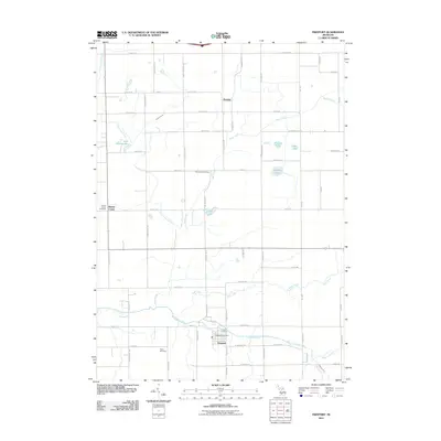 2011 Freeport2011 Print · USGSCovers Barry County, including Lowell Charter Township, Freeport, and other nearby areas
 - 2011 Map of Dowling, 2011 Print
 2011 Dowling2011 Print · USGSCovers Barry County, including Baltimore Township, Johnstown Township, and other nearby areas
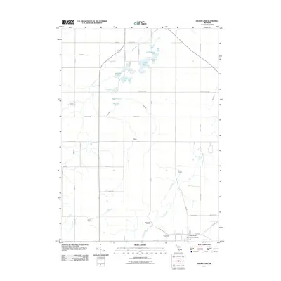
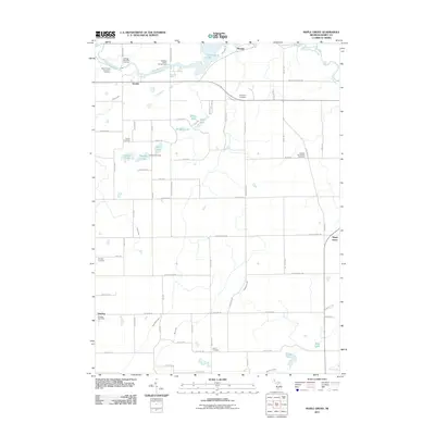
 - 2014 Map of Saubee Lake, 2014 Print
 2014 Saubee Lake2014 Print · USGSCovers Barry County, including Vermontville, Woodland, and other nearby areas
 - 2014 Map of Orangeville, 2014 Print
 2014 Orangeville2014 Print · USGSCovers Barry County, including Orangeville, Yankee Springs Township, and other nearby areas
 - 2014 Map of Lake Odessa, 2014 Print
 2014 Lake Odessa2014 Print · USGSCovers Barry County, including Lake Odessa, Clarksville, and other nearby areas
 - 2014 Map of Kalamazoo NE, 2014 Print
 2014 Kalamazoo NE2014 Print · USGSCovers Barry County, including Plainwell, Richland Township, and other nearby areas
 - 2014 Map of Caledonia, 2014 Print
 2014 Caledonia2014 Print · USGSCovers Barry County, including Kentwood, Gaines Charter Township, and other nearby areas
Showing maps 1-25 of 100
Top cities of Barry County
Frequently asked questions
- What are the different types of historical maps available for Barry County?
- What is the oldest map of Barry County?
- Where can I purchase historical maps of Barry County for my home or office?
- Where can I download high-res historical maps of Barry County?
- Are there historical topographic maps available for Barry County?
- Is there historical aerial imagery available for Barry County?
- Where are historical maps of Barry County sourced from?