Old Maps of Irving Township, Michigan
Explore 31 old maps of Irving Township, spanning from 1918 to today. These high-resolution historic maps reveal how streets, neighborhoods, landmarks, and natural features evolved over time — perfect for genealogy, metal detecting, research, and local history exploration.
What you can do with these maps:
- See how Irving Township changed over time: Compare historical maps to modern-day views to trace roads, homesites, rail lines & more.
- View detailed metadata: Each map includes creators, publishers, year, scale, and archive source.
- Overlay maps with satellite & LiDAR: Visualize the past alongside modern tools to explore terrain & human change.
- Trusted historical sources: Maps sourced from the USGS, Library of Congress, and other archives.
- Access maps your way: View online, download high-res files, or order prints for personal or research use.
Start exploring old maps of Irving Township to uncover forgotten places, hidden landmarks, and the deep history beneath your feet.
Irving Township, MI maps
(31)- 1918 Map of Lowell
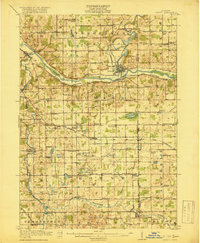 1918 Lowell1918 Print · USGSThe Kent and Ionia county borderlands come into focus during the Great War era as a landscape of interconnected river valleys and rural school districts. Genealogists and historians can trace old homesteads near Fallassburg, the rail junctions at Elmdale, and dozens of local landmarks like the Little Brick School.4 unique versions available
 - 1943 Map of Lowell, 1944 Print
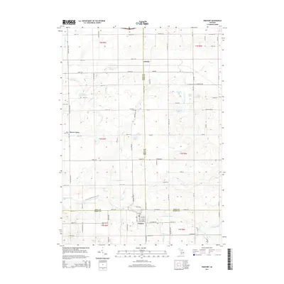
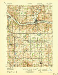 1943 Lowell1944 Print · USGSCentral Michigan river valleys and rural townships are captured here during the early 1940s. Genealogists can locate numerous namesake schoolhouses like Yerkes Sch and Cooke Sch, or trace the rail lines through Alto and Fallassburg.
 - 1951 Map of Hastings, 1953 Print
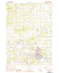
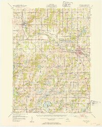 1951 Hastings1953 Print · USGSHastings and the Thornapple River valley are captured here in the early fifties during a period of steady rural growth. Genealogists and historians can locate dozens of country schools like Little Brick Sch and cemeteries such as Brush Ridge Cem or Jesuit Cem.5 unique versions available
 - 1958 Map of Grand Rapids, 1973 Print
 1958 Grand Rapids1973 Print · USGSSouthern Michigan at the peak of the postwar era shows a landscape of burgeoning cities and new interstate highways. Trace family roots and regional growth in Grand Rapids, Battle Creek, and the glacial lake country around Gun Lake or Gull Lake.2 unique versions available
 - 1961 Map of Grand Rapids
 1961 Grand Rapids1961 Print · USGSSouthern Michigan at the dawn of the 1960s reveals a region shaped by major river systems and a robust rail network. Trace mid-century industrial growth and land use from Grand Rapids to the Fort Custer Military Reservation and Gun Lake.
 - 1962 Map of Grand Rapids
 1962 Grand Rapids1962 Print · USGSMid-century Southern Michigan is mapped here at a time of massive growth, showing the expanding urban footprints of Grand Rapids and Lansing. Researchers can trace the legacy of the Grand Trunk Western RR, find historic boundaries of the Fort Custer Military Reservation, or locate sporting camps around Gun Lake.2 unique versions available
 - 1978 Map of Freeport, 1979 Print
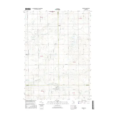
 1978 Freeport1979 Print · USGSThe borderlands of Kent, Ionia, and Barry counties are captured here in the late 1970s as a landscape of rural townships and river valleys. Genealogists can trace family footprints at Fuller Cem, the crossroads of Bowne Center, and schools like Lake Sch.
 - 1978 Map of Alto, 1979 Print
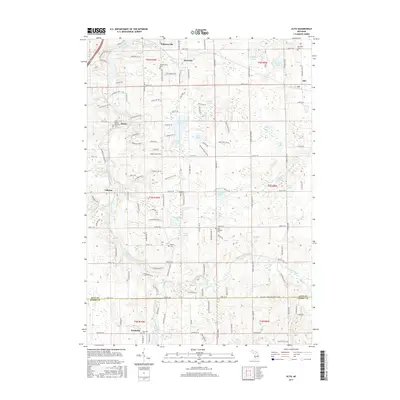
 1978 Alto1979 Print · USGSSoutheast of Grand Rapids in the late seventies, this area shows a landscape of river valleys and kettle lakes. Genealogists and local historians can trace the foundations of Whitneyville, Alaska, and Alto, or locate rural landmarks like the Grange Hall and Merriman Cem.
 - 1982 Map of Middleville
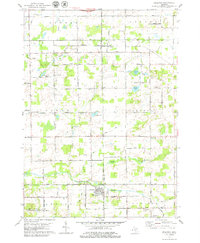
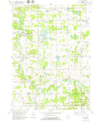
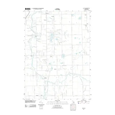
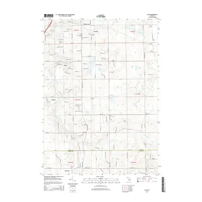
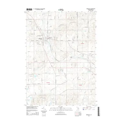
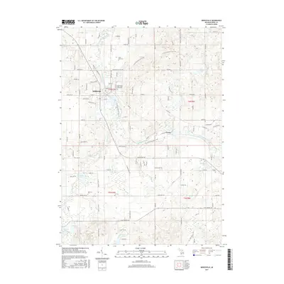
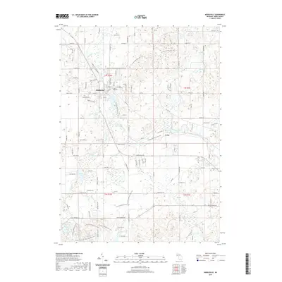
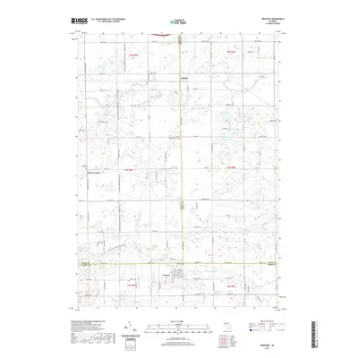
 1982 Middleville1982 Print · USGSMiddleville and Irving are captured in the early 1980s as the surrounding countryside transitioned into a major regional recreation hub. Local historians can trace family locations near Mount Hope Cem and Rutland Cem, or explore the shorelines of Hathaway Lake and Baker Lake.2 unique versions available
 - 1982 Map of Hastings
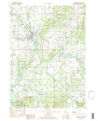
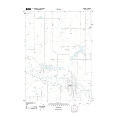
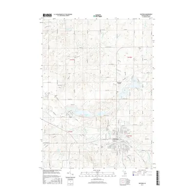
 1982 Hastings1982 Print · USGSHastings and the surrounding Barry County townships are shown here in the early eighties as a hub of river-fronting industry and lakeside recreation. Genealogists and local researchers can locate family sites near Welcome Corners, Carlton Center, and the historic Riverside Cem.
 - 1984 Map of Grand Rapids
 1984 Grand Rapids1984 Print · USGSWest Michigan in the mid-eighties shows a thriving metropolitan core surrounded by expansive state recreation areas and river valleys. Genealogists and local historians can trace developments around Grand Rapids, institutional landmarks like Grand Rapids Bible College, and the quiet reaches of Jordan Lake.
 - 2011 Map of Middleville, 2011 Print
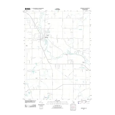 2011 Middleville2011 Print · USGSCovers Irving Township, including Irving, Middleville, and other nearby areas
 - 2011 Map of Alto, 2011 Print
 2011 Alto2011 Print · USGSCovers Irving Township, including Cascade Charter Township, Lowell Charter Township, and other nearby areas
 - 2011 Map of Hastings, 2011 Print
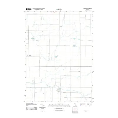
 2011 Hastings2011 Print · USGSCovers Irving Township, including Hastings, Carlton, and other nearby areas
 - 2011 Map of Freeport, 2011 Print
 2011 Freeport2011 Print · USGSCovers Irving Township, including Lowell Charter Township, Freeport, and other nearby areas
 - 2014 Map of Hastings, 2014 Print
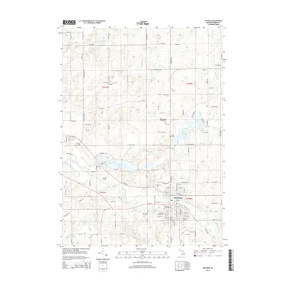 2014 Hastings2014 Print · USGSCovers Irving Township, including Hastings, Carlton, and other nearby areas
 - 2014 Map of Alto, 2014 Print
 2014 Alto2014 Print · USGSCovers Irving Township, including Cascade Charter Township, Lowell Charter Township, and other nearby areas
 - 2014 Map of Freeport, 2014 Print
 2014 Freeport2014 Print · USGSCovers Irving Township, including Lowell Charter Township, Freeport, and other nearby areas
 - 2014 Map of Middleville, 2014 Print
 2014 Middleville2014 Print · USGSCovers Irving Township, including Irving, Middleville, and other nearby areas
 - 2017 Map of Middleville, 2017 Print
 2017 Middleville2017 Print · USGSCovers Irving Township, including Irving, Middleville, and other nearby areas
 - 2017 Map of Alto, 2017 Print
 2017 Alto2017 Print · USGSCovers Irving Township, including Cascade Charter Township, Lowell Charter Township, and other nearby areas
 - 2017 Map of Freeport, 2017 Print
 2017 Freeport2017 Print · USGSCovers Irving Township, including Lowell Charter Township, Freeport, and other nearby areas
 - 2017 Map of Hastings, 2017 Print
 2017 Hastings2017 Print · USGSCovers Irving Township, including Hastings, Carlton, and other nearby areas
 - 2019 Map of Middleville, 2019 Print
 2019 Middleville2019 Print · USGSCovers Irving Township, including Irving, Middleville, and other nearby areas
 - 2019 Map of Freeport, 2019 Print
 2019 Freeport2019 Print · USGSCovers Irving Township, including Lowell Charter Township, Freeport, and other nearby areas
Showing maps 1-25 of 31
Top cities near Irving Township
- Grand Rapids historical maps
- Kentwood historical maps
- Gaines Charter Township historical maps
- Cascade Charter Township historical maps
- Ada Township historical maps
- East Grand Rapids historical maps
See more
Top neighborhoods of Irving Township
Frequently asked questions
- What are the different types of historical maps available for Irving Township?
- What is the oldest map of Irving Township?
- Where can I purchase historical maps of Irving Township for my home or office?
- Where can I download high-res historical maps of Irving Township?
- Are there historical topographic maps available for Irving Township?
- Is there historical aerial imagery available for Irving Township?
- Where are historical maps of Irving Township sourced from?