Old Maps of Girard, Michigan for Metal Detecting
Plan your next treasure hunt with 13 historic maps of Girard. Find old homesites, ghost towns, trails, and gathering spots that may be lost to time — perfect for identifying promising metal detecting locations.
- Locate forgotten sites: Uncover places like long-lost settlements, abandoned rail lines, or gathering spots.
- Plan better hunts: Use map overlays combined with LiDAR or satellite views to narrow in on historically rich areas.
- Made for detectorists: Thousands of hobbyists use these maps to discover relics, coins, and hidden history.
Use these historic maps to boost your research and find new opportunities beneath the surface of Girard.
Girard, MI maps
(13)- 1918 Map of Union City
 1918 Union City1918 Print · USGSSettled along the forks of the St. Joseph River during the First World War, this region shows a landscape of rail-connected towns and country schoolhouses. Genealogists can trace family footprints at Stanley Corners or find old homesteads near the German Lutheran Church and Mershon School.3 unique versions available
 - 1947 Map of Union City, 1972 Print
 1947 Union City1972 Print · USGSThe St. Joseph River valley in the late 1940s is shown here at its rural peak, shortly after the war. Family historians can trace ancestral sites through dozens of local landmarks like Morgan Cem, Cobblestone Sch, and Burlington Sta.2 unique versions available
 - 1950 Map of Union City
 1950 Union City1950 Print · USGSBranch and Calhoun counties are captured here in the mid-century, showcasing a landscape of riverside towns and agricultural hamlets. Researchers can trace family history through numerous rural landmarks like Burr Oak Cem, Newton Ch, and the Burlington Sta rail stop.2 unique versions available
 - 1958 Map of Grand Rapids, 1973 Print
 1958 Grand Rapids1973 Print · USGSSouthern Michigan at the peak of the postwar era shows a landscape of burgeoning cities and new interstate highways. Trace family roots and regional growth in Grand Rapids, Battle Creek, and the glacial lake country around Gun Lake or Gull Lake.2 unique versions available
 - 1961 Map of Grand Rapids
 1961 Grand Rapids1961 Print · USGSSouthern Michigan at the dawn of the 1960s reveals a region shaped by major river systems and a robust rail network. Trace mid-century industrial growth and land use from Grand Rapids to the Fort Custer Military Reservation and Gun Lake.
 - 1962 Map of Grand Rapids
 1962 Grand Rapids1962 Print · USGSMid-century Southern Michigan is mapped here at a time of massive growth, showing the expanding urban footprints of Grand Rapids and Lansing. Researchers can trace the legacy of the Grand Trunk Western RR, find historic boundaries of the Fort Custer Military Reservation, or locate sporting camps around Gun Lake.2 unique versions available
 - 1982 Map of Burlington
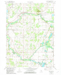 1982 Burlington1982 Print · USGSSouthern Michigan's river valleys and glacial lakes are captured in detail during the early 1980s as the rail and road network matured. Genealogists and local historians can trace family plots at Township Cem or locate old crossings at Hodunk and Burlington.
 - 1982 Map of Kalamazoo, 1983 Print
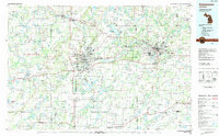 1982 Kalamazoo1983 Print · USGSThe Kalamazoo River valley in the early eighties shows a landscape of growing suburban centers and heavy rail infrastructure. Genealogists and researchers can trace the limits of Kalamazoo and Battle Creek or locate landmarks like Fort Custer National Cemetery and Gull Lake.
 - 2011 Map of Burlington, 2011 Print
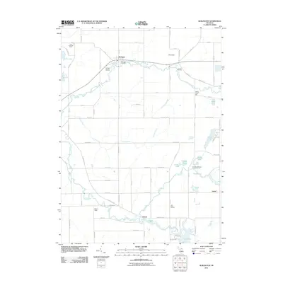 2011 Burlington2011 Print · USGSBranch County and the surrounding countryside appear in the early 21st century as a well-defined network of rural roads and river valleys. Genealogists can trace family roots through Windfall Cemetery and settlements like Hodunk or Girard.
 - 2014 Map of Burlington, 2014 Print
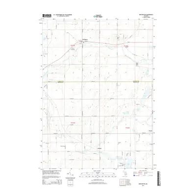 2014 Burlington2014 Print · USGSThe river valleys of Calhoun and Branch Counties come into focus in the mid-2010s, centered on the Saint Joseph River. Genealogists and local historians can trace family roots through Windfall Cem and Evergreen Cem or locate old community hubs like Hodunk and Girard.
 - 2017 Map of Burlington, 2017 Print
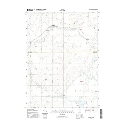 2017 Burlington2017 Print · USGSSouthern Michigan farm country and glacial lake chains define this landscape at the intersection of Calhoun and Branch Counties. Researchers can locate several historic burial grounds like West Prairie Cem and trace the paths of the Coldwater River and Saint Joseph River.
 - 2019 Map of Burlington, 2019 Print
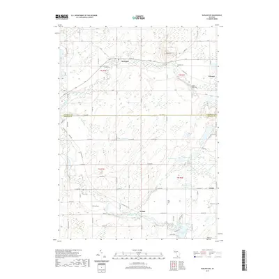 2019 Burlington2019 Print · USGSSouthern Michigan farm country is captured here in the late twenty-teens as it straddles the Calhoun and Branch county line. Family researchers can locate Burlington Township Cem and West Prairie Cem or trace the routes through Hodunk and Girard.
 - 2023 Map of Burlington, 2023 Print
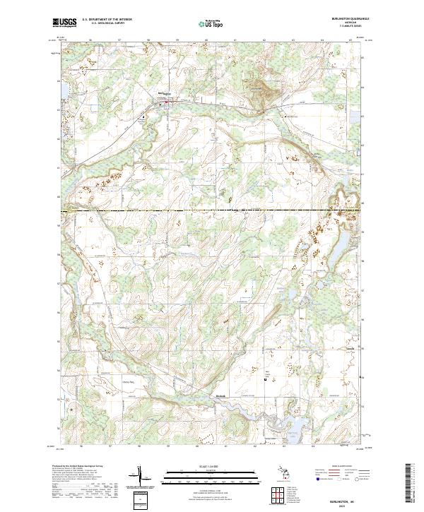 2023 Burlington2023 Print · USGSThe rural border of Calhoun and Branch Counties is captured here in the early twenty-first century, centered on the Saint Joseph River. Researchers can trace old family burial sites at Old Burlington Cem and West Prairie Cem or explore the river confluence at Hodunk.
End of results
Showing maps 1-13 of 13
Top cities near Girard
- Battle Creek historical maps
- Coldwater historical maps
- Albion historical maps
- Marshall historical maps
- Bronson historical maps
- Algansee historical maps
See more
Frequently asked questions
- What are the different types of historical maps available for Girard?
- What is the oldest map of Girard?
- Where can I purchase historical maps of Girard for my home or office?
- Where can I download high-res historical maps of Girard?
- Are there historical topographic maps available for Girard?
- Is there historical aerial imagery available for Girard?
- Where are historical maps of Girard sourced from?