Old Maps of Clarendon Township, Michigan for Academic Research
Study the evolution of Clarendon Township with 31 high-resolution historic maps. Whether you're teaching, researching, or modeling changes in land use, these maps provide essential visual documentation of urban, environmental, and geographic change.
- Analyze long-term change: Track patterns in development, transportation, and natural features.
- Ideal for environmental or urban studies: Support academic projects with primary historical map data.
- Use in the classroom or lab: Educators and researchers rely on these maps to bring historical context to life.
These maps are a powerful tool for teaching, research, and visualizing how Clarendon Township has changed over the decades.
Clarendon Township, MI maps
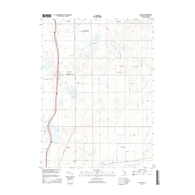
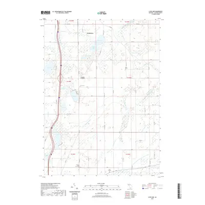
(31)- 1948 Map of Homer, 1968 Print
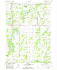
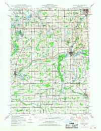 1948 Homer1968 Print · USGSSouthern Michigan is captured here just after the war, showing a rural landscape defined by the New York Central rail lines and a dense network of country schoolhouses. Researchers can trace family roots at Shooks Prairie Cem or locate forgotten landmarks like Quaker Mills and Lamm Landing Field.2 unique versions available
 - 1949 Map of Homer
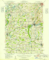 1949 Homer1949 Print · USGSSouthern Michigan farmland is captured here in the late forties, showing a landscape defined by the upper reaches of the St. Joseph and Kalamazoo Rivers. Genealogists can trace family roots through numerous rural markers like Shooks Prairie Cem, Bentley Corner, and the Quaker Mills Sch.2 unique versions available
 - 1958 Map of Grand Rapids, 1973 Print
 1958 Grand Rapids1973 Print · USGSSouthern Michigan at the peak of the postwar era shows a landscape of burgeoning cities and new interstate highways. Trace family roots and regional growth in Grand Rapids, Battle Creek, and the glacial lake country around Gun Lake or Gull Lake.2 unique versions available
 - 1961 Map of Grand Rapids
 1961 Grand Rapids1961 Print · USGSSouthern Michigan at the dawn of the 1960s reveals a region shaped by major river systems and a robust rail network. Trace mid-century industrial growth and land use from Grand Rapids to the Fort Custer Military Reservation and Gun Lake.
 - 1962 Map of Grand Rapids
 1962 Grand Rapids1962 Print · USGSMid-century Southern Michigan is mapped here at a time of massive growth, showing the expanding urban footprints of Grand Rapids and Lansing. Researchers can trace the legacy of the Grand Trunk Western RR, find historic boundaries of the Fort Custer Military Reservation, or locate sporting camps around Gun Lake.2 unique versions available
 - 1980 Map of Litchfield
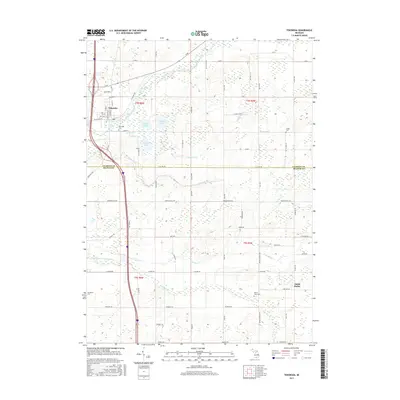
 1980 Litchfield1980 Print · USGSSouth-central Michigan farmland is captured here in the 1970s at the convergence of Hillsdale, Calhoun, and Branch counties. Local researchers can locate family sites near Bentleys Corners, South Litchfield Ch, and Shooks Prairie Cem.
 - 1980 Map of Tekonsha
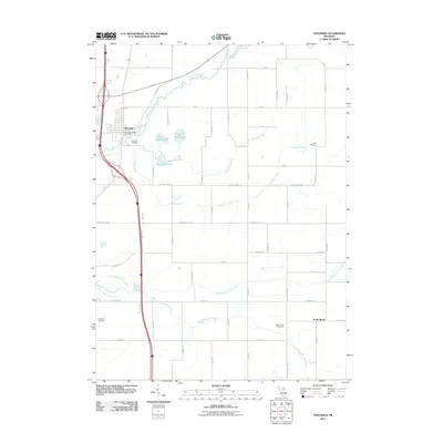
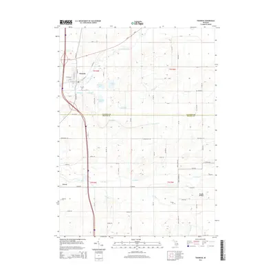
 1980 Tekonsha1980 Print · USGSTekonsha and the surrounding rural townships are captured in the early eighties as a network of river-side villages and rail-connected farms. Genealogists can trace family names and sites through Riverside Cem, Dayburg Ch, and the outlying settlement of South Butler.
 - 1980 Map of Lyon Lake
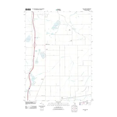
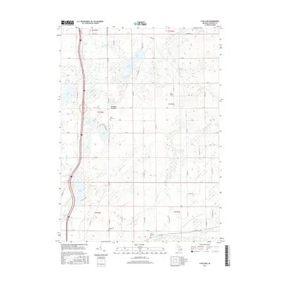
 1980 Lyon Lake1980 Print · USGSCalhoun County's lake country is captured here in the early eighties, showing a landscape of scattered family farms and quiet shorelines. Genealogists can locate family sites near Wrights Corners, West Eckford Cem, or the rural Little Polly Ch.
 - 1980 Map of Southwest Albion
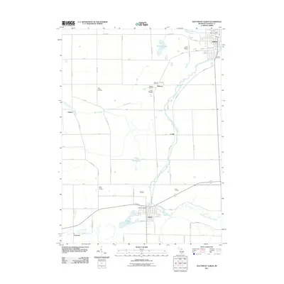
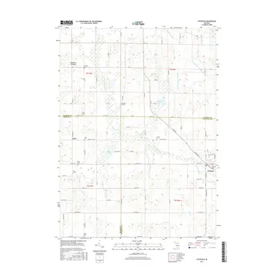
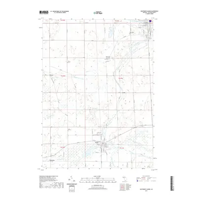
 1980 Southwest Albion1980 Print · USGSSouth-central Michigan farmland meets the industrial corridors of the late twentieth century in this detailed survey. Genealogists and local historians can trace family locations near Cooks Prairie, identify rural schools like Fletcher School, and locate several historic cemeteries including Fairview Cemetery.
 - 1983 Map of Jackson, 1984 Print
 1983 Jackson1984 Print · USGSJackson and the surrounding lake country are shown in the early eighties as a hub of rail transit and outdoor recreation. Local historians can trace institutional footprints like the State Prison Farm or explore the landscape of Minards Mill and Olivet College.
 - 1995 Map of Southwest Albion, 1999 Print
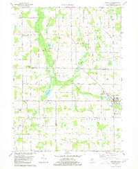
 1995 Southwest Albion1999 Print · USGSThe South Branch Kalamazoo River corridor at the close of the twentieth century shows a landscape defined by deep-rooted farmsteads and the village life of Homer and Albion. Genealogists can trace family plots at Fairview Cem or locate historic rural centers like East Eckford Ch.
 - 2011 Map of Litchfield, 2011 Print
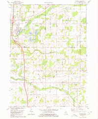
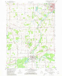
 2011 Litchfield2011 Print · USGSCovers Clarendon Township, including Litchfield, Butler, and other nearby areas
 - 2011 Map of Southwest Albion, 2011 Print
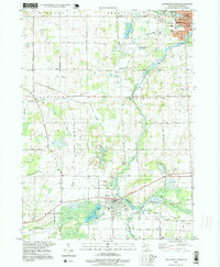
 2011 Southwest Albion2011 Print · USGSCovers Clarendon Township, including Albion, Homer, and other nearby areas
 - 2011 Map of Tekonsha, 2011 Print
 2011 Tekonsha2011 Print · USGSCovers Clarendon Township, including Tekonsha, Tekonsha Township, and other nearby areas
 - 2011 Map of Lyon Lake, 2011 Print
 2011 Lyon Lake2011 Print · USGSCovers Clarendon Township, including Marshall, Tekonsha Township, and other nearby areas
 - 2014 Map of Tekonsha, 2014 Print
 2014 Tekonsha2014 Print · USGSCovers Clarendon Township, including Tekonsha, Tekonsha Township, and other nearby areas
 - 2014 Map of Lyon Lake, 2014 Print
 2014 Lyon Lake2014 Print · USGSCovers Clarendon Township, including Marshall, Tekonsha Township, and other nearby areas
 - 2014 Map of Litchfield, 2014 Print
 2014 Litchfield2014 Print · USGSCovers Clarendon Township, including Litchfield, Butler, and other nearby areas
 - 2014 Map of Southwest Albion, 2014 Print
 2014 Southwest Albion2014 Print · USGSCovers Clarendon Township, including Albion, Homer, and other nearby areas
 - 2017 Map of Southwest Albion, 2017 Print
 2017 Southwest Albion2017 Print · USGSCovers Clarendon Township, including Albion, Homer, and other nearby areas
 - 2017 Map of Tekonsha, 2017 Print
 2017 Tekonsha2017 Print · USGSCovers Clarendon Township, including Tekonsha, Tekonsha Township, and other nearby areas
 - 2017 Map of Litchfield, 2017 Print
 2017 Litchfield2017 Print · USGSCovers Clarendon Township, including Litchfield, Butler, and other nearby areas
 - 2017 Map of Lyon Lake, 2017 Print
 2017 Lyon Lake2017 Print · USGSCovers Clarendon Township, including Marshall, Tekonsha Township, and other nearby areas
 - 2019 Map of Southwest Albion, 2019 Print
 2019 Southwest Albion2019 Print · USGSCovers Clarendon Township, including Albion, Homer, and other nearby areas
 - 2019 Map of Lyon Lake, 2019 Print
 2019 Lyon Lake2019 Print · USGSCovers Clarendon Township, including Marshall, Tekonsha Township, and other nearby areas
Showing maps 1-25 of 31
Top cities near Clarendon Township
- Coldwater historical maps
- Albion historical maps
- Hillsdale historical maps
- Marshall historical maps
- Jonesville historical maps
- Marengo historical maps
See more
Top neighborhoods of Clarendon Township
Frequently asked questions
- What are the different types of historical maps available for Clarendon Township?
- What is the oldest map of Clarendon Township?
- Where can I purchase historical maps of Clarendon Township for my home or office?
- Where can I download high-res historical maps of Clarendon Township?
- Are there historical topographic maps available for Clarendon Township?
- Is there historical aerial imagery available for Clarendon Township?
- Where are historical maps of Clarendon Township sourced from?