Old Maps of Bay Township, Michigan for Hiking & Exploration
Hike through history with 19 historic maps of Bay Township. Explore old trails, ghost towns, and forgotten backroads — perfect for outdoor adventurers and local explorers.
- Rediscover forgotten places: Map out old mining camps, roads, and footpaths that no longer exist on modern maps.
- Layer with modern tools: Combine with LiDAR or satellite views to plan hikes through historical terrain.
- Made for exploration: Popular among hikers, overlanders, and local history lovers.
Use these maps to find adventure and explore the hidden past of Bay Township.
Bay Township, MI maps
(19)- 1955 Map of Cheboygan, 1964 Print
 1955 Cheboygan1964 Print · USGSNorthern Michigan in the mid-fifties is a landscape of dense timber and deep water, showing the region just as the road network began to modernize. Trace family roots in lakeside towns like St Ignace and Petoskey, or follow the historic tracks of the Pennsylvania RR and New York Central RR.5 unique versions available
 - 1958 Map of Cheboygan
 1958 Cheboygan1958 Print · USGSThe tip of Michigan's Lower Peninsula and the surrounding Great Lakes islands are shown here in the late fifties, during the peak of the rail-and-ferry era. Trace the paths of the Pennsylvania RR and explore lakeside settlements like St James, Petoskey, and Indian River.2 unique versions available
 - 1958 Map of Bayshore, 1959 Print
 1958 Bayshore1959 Print · USGSCoastal life in the late fifties centered on the waters of Little Traverse Bay and Lake Charlevoix. Researchers can trace old family sites at Undine Cem, visit the Greensky Ch, or locate the Drive-in Theater and Quarry near Bayshore.2 unique versions available
 - 1958 Map of Petoskey, 1959 Print
 1958 Petoskey1959 Print · USGSCoastal Emmet County in the late fifties is captured here through its growing resort towns and inland forest tracts. Researchers can trace the legacy of local families through landmarks like Patons Corner, Morford Sch, and Curtis Cem.4 unique versions available
 - 1975 Map of Petoskey SW, 1976 Print
 1975 Petoskey SW1976 Print · USGSNorthern Michigan's coastline and interior lakes are captured in high detail during the mid-seventies. Trace the 1975 development of Petoskey along Little Traverse Bay and the shoreline of Walloon Lake.
 - 1982 Map of Petoskey
 1982 Petoskey1982 Print · USGSNorthern Michigan in the early eighties shows a landscape of deep timber and vast inland lakes. Genealogists and historians can trace the rail corridors of the Michigan Central and Detroit and Mackinac between Petoskey, Gaylord, and Wolverine.
 - 1983 Map of Bay Shore, 1984 Print
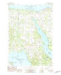 1983 Bay Shore1984 Print · USGSThe tip of Michigan's lower peninsula in the early eighties shows a landscape of shoreline settlements and deep inland waters. Researchers can trace local history through sites like St Solanus Ch, the Horton Bay Cem, and the old Drive-In Theater.
 - 1983 Map of Petoskey, 1984 Print
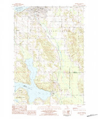 1983 Petoskey1984 Print · USGSThe Lake Michigan shoreline and the deep inlets of Walloon Lake define this region in the early eighties. Researchers can trace the development of Petoskey alongside rural landmarks like Dunkard Cem, Wildwood, and Little Traverse Hosp.
 - 1984 Map of Charlevoix, 1985 Print
 1984 Charlevoix1985 Print · USGSNorthern Michigan’s coastal peninsulas and deep inland lakes are captured here in the mid-eighties, showing the region's unique maritime and rail connectivity. Researchers can trace historic family-named landmarks and infrastructure like Woolsey Memorial Airport, Barnard Ch, and the Chesapeake and Ohio RR.2 unique versions available
 - 2011 Map of Petoskey, 2011 Print
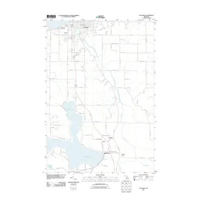 2011 Petoskey2011 Print · USGSPetoskey and the northern shores of Walloon Lake are captured here during the early twenty-first century. Researchers can trace family history at Greenwood Cemetery or Maple Hill Cemetery, and locate historic civic sites like the Petoskey Post Office and Clarion.
 - 2011 Map of Bay Shore, 2011 Print
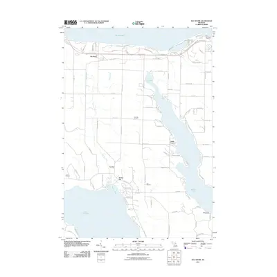 2011 Bay Shore2011 Print · USGSNorthern Michigan’s shoreline and inland lakes are mapped here in the early twenty-first century, showing the evolved landscape around Bay Shore. Genealogists and historians can trace family sites at Undine Cemetery or locate the former industrial works of the Penn-Dixie Cement Corporation.
 - 2014 Map of Bay Shore, 2014 Print
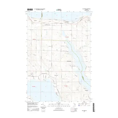 2014 Bay Shore2014 Print · USGSNorthern Michigan's coastal highlands at the edge of Emmet County show a landscape of quiet harbors and family cemeteries in the early 2010s. Genealogists and local historians can trace legacy sites like N Bay Cemetery and Dyer Cemetery or locate old waterfront settlements from Bay Shore to Horton Bay.
 - 2014 Map of Petoskey, 2014 Print
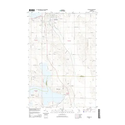 2014 Petoskey2014 Print · USGSThe Petoskey area in the early 2010s shows a landscape defined by the deep waters of Little Traverse Bay and the winding Bear River. Genealogists and local historians can trace legacy sites like Saint Francis Cem, Dunkard Cem, and the quiet settlements of Clarion and Wildwood.
 - 2017 Map of Petoskey, 2017 Print
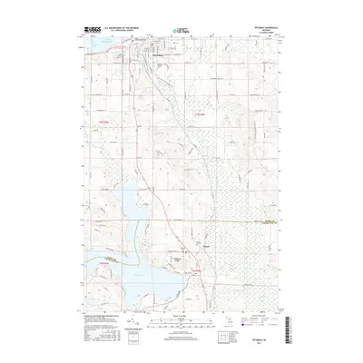 2017 Petoskey2017 Print · USGSPetoskey and the northern Michigan interior are captured here in 2017, showing the city's relationship with Little Traverse Bay and the Bear River. Genealogists can locate several historic burial sites, including Saint Francis Cem and Dunkard Cem, alongside the development at Walloon Lake.
 - 2017 Map of Bay Shore, 2017 Print
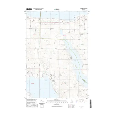 2017 Bay Shore2017 Print · USGSThe Lake Michigan shoreline and the deep inlets of northern Michigan are captured here in the late twenty-teens. Genealogists and local historians can trace the rural landscape through family landmarks and several historic cemeteries, including Dyer Cem, Undine Cem, and North Bay Cem.
 - 2019 Map of Bay Shore, 2019 Print
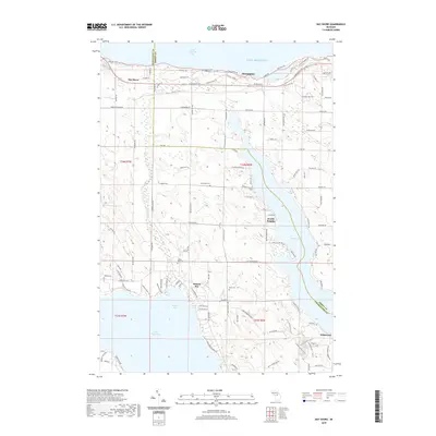 2019 Bay Shore2019 Print · USGSThe Lake Michigan shoreline and the wooded stretches of Walloon Lake define this region during the late 2010s. Researchers can trace local lineage through Horton Bay Cemetery and Undine Cemetery, or locate the settlements of Horton Bay and Zenith Heights.
 - 2019 Map of Petoskey, 2019 Print
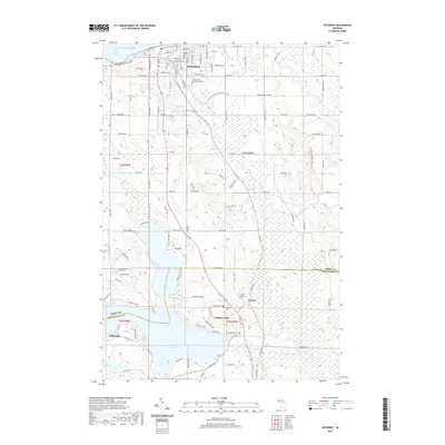 2019 Petoskey2019 Print · USGSPetoskey and the northern shores of Walloon Lake are shown in great detail during the late twenty-teens. Researchers can trace the layout of Petoskey neighborhoods or locate rural landmarks like Dunkard Cem, Clarion, and Lookout Ridge.
 - 2023 Map of Bay Shore, 2023 Print
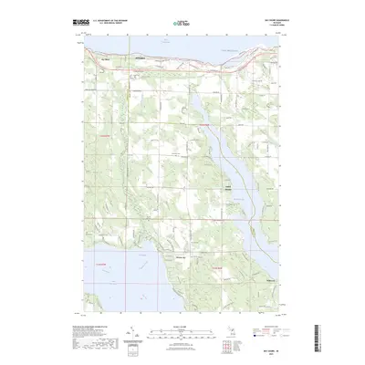 2023 Bay Shore2023 Print · USGSCharlevoix and Emmet Counties meet here in the 2020s, spanning the wooded heights between the Great Lakes and two major inland waterways. Genealogists can locate several local burial sites like Indian Cem and Horton Bay Cem near the quiet shores of Walloon Lake.
 - 2023 Map of Petoskey, 2023 Print
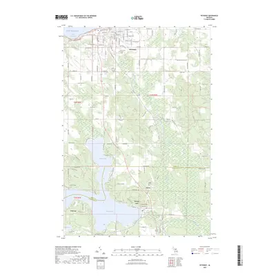 2023 Petoskey2023 Print · USGSPetoskey and the shores of Walloon Lake are captured here in the early 2020s, showing a landscape shaped by water and woodland. Researchers can trace local history through sites like Indian Garden, Dunkard Cem, and the village of Clarion.
End of results
Showing maps 1-19 of 19
Top cities near Bay Township
- Petoskey historical maps
- Boyne City historical maps
- Charlevoix historical maps
- East Jordan historical maps
- Harbor Springs historical maps
- Central Lake historical maps
See more
Top neighborhoods of Bay Township
Frequently asked questions
- What are the different types of historical maps available for Bay Township?
- What is the oldest map of Bay Township?
- Where can I purchase historical maps of Bay Township for my home or office?
- Where can I download high-res historical maps of Bay Township?
- Are there historical topographic maps available for Bay Township?
- Is there historical aerial imagery available for Bay Township?
- Where are historical maps of Bay Township sourced from?