Old Maps of Mentor Township, Michigan
Explore 28 old maps of Mentor Township, spanning from 1955 to today. These high-resolution historic maps reveal how streets, neighborhoods, landmarks, and natural features evolved over time — perfect for genealogy, metal detecting, research, and local history exploration.
What you can do with these maps:
- See how Mentor Township changed over time: Compare historical maps to modern-day views to trace roads, homesites, rail lines & more.
- View detailed metadata: Each map includes creators, publishers, year, scale, and archive source.
- Overlay maps with satellite & LiDAR: Visualize the past alongside modern tools to explore terrain & human change.
- Trusted historical sources: Maps sourced from the USGS, Library of Congress, and other archives.
- Access maps your way: View online, download high-res files, or order prints for personal or research use.
Start exploring old maps of Mentor Township to uncover forgotten places, hidden landmarks, and the deep history beneath your feet.
Mentor Township, MI maps
(28)- 1955 Map of Cheboygan, 1964 Print
 1955 Cheboygan1964 Print · USGSNorthern Michigan in the mid-fifties is a landscape of dense timber and deep water, showing the region just as the road network began to modernize. Trace family roots in lakeside towns like St Ignace and Petoskey, or follow the historic tracks of the Pennsylvania RR and New York Central RR.5 unique versions available
 - 1957 Map of Wolverine, 1958 Print
 1957 Wolverine1958 Print · USGSNorthern Michigan's lake country is captured here during the late fifties, showing the rail-and-river geography of the Cheboygan area. Genealogists and historians can trace old community centers like Indian River, the Ohioville Sch, and the Wolverine Lookout Tower.3 unique versions available
 - 1958 Map of Cheboygan
 1958 Cheboygan1958 Print · USGSThe tip of Michigan's Lower Peninsula and the surrounding Great Lakes islands are shown here in the late fifties, during the peak of the rail-and-ferry era. Trace the paths of the Pennsylvania RR and explore lakeside settlements like St James, Petoskey, and Indian River.2 unique versions available
 - 1982 Map of Petoskey
 1982 Petoskey1982 Print · USGSNorthern Michigan in the early eighties shows a landscape of deep timber and vast inland lakes. Genealogists and historians can trace the rail corridors of the Michigan Central and Detroit and Mackinac between Petoskey, Gaylord, and Wolverine.
 - 1986 Map of Wildwood
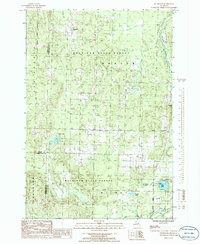 1986 Wildwood1986 Print · USGSNorthern Michigan’s timber and recreation lands are captured here during the mid-1980s. Genealogists and outdoorsmen can trace the settlement of Wildwood, find the CAMPGROUND at Weber Lake, or locate family sites near the Sturgeon River and Barhite Lake.
 - 1986 Map of Indian River
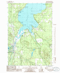 1986 Indian River1986 Print · USGSCheboygan County’s inland waterway comes alive in the mid-1980s, showcasing the transition from deep timberland to a bustling lakeside resort community. Genealogists and historians can trace family locations at Topinabee or Bowersocks Camp and follow the winding Sturgeon River.
 - 1986 Map of Wolverine
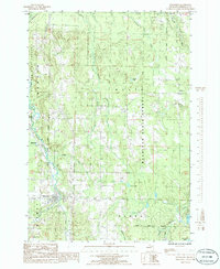 1986 Wolverine1986 Print · USGSCheboygan County settlements and timberlands are captured here in the mid-1980s. Researchers can trace the Old RR Grade and locate old sites like Rondo, Haakwood, and the Cem near the Pigeon River headwaters.
 - 1986 Map of Burt Lake
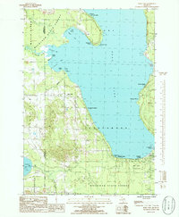 1986 Burt Lake1986 Print · USGSBurt Lake was a thriving resort and recreation hub in the mid-1980s, characterized by dozens of named beaches and camps. Genealogists and local historians can trace legacy tracts at Springwell Heights, Elmhurst, and the lakeside Cem near the Tuscarora line.
 - 2011 Map of Burt Lake, 2011 Print
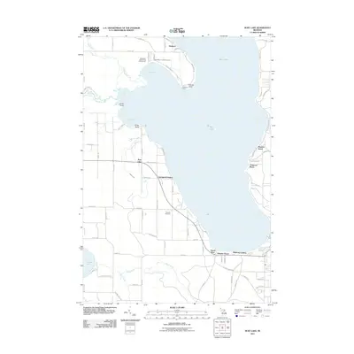 2011 Burt Lake2011 Print · USGSBurt Lake and its surrounding summer colonies are captured here in the early twenty-first century, showing the established shoreline development of northern Michigan. Genealogists and local historians can locate Saint Mary's Indian Cemetery and old landings like Pittsburg Landing and Colonial Point.
 - 2011 Map of Wildwood, 2011 Print
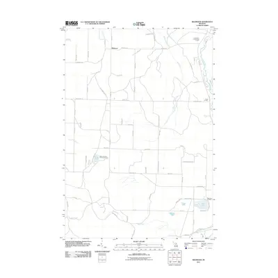 2011 Wildwood2011 Print · USGSUpper Michigan woodlands and river valleys are captured here in the early twenty-first century as the landscape transitioned toward recreation. Researchers can trace family history at the Indian River Catholic Shrine Cemetery or explore the shores of Weber Lake and Silver Lake.
 - 2011 Map of Wolverine, 2011 Print
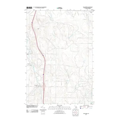 2011 Wolverine2011 Print · USGSCheboygan County’s river valleys and northern woodlands are captured in this early 21st-century survey. You can trace local landmarks like the Wolverine Lookout Tower, Saint Monica's Catholic Cemetery, and the village of Wolverine.
 - 2011 Map of Indian River, 2011 Print
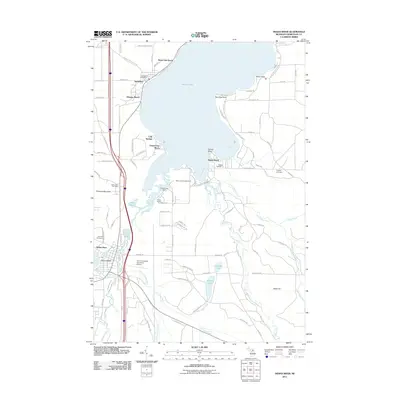 2011 Indian River2011 Print · USGSIndian River and the western shores of Mullett Lake are shown here in the early twenty-first century as centers of recreation and aviation. Researchers can trace local heritage through the Oak Hill Cemetery, the Topinabee Post Office, and rural sites like School Number 1.
 - 2014 Map of Burt Lake, 2014 Print
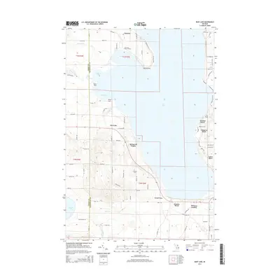 2014 Burt Lake2014 Print · USGSBurt Lake and the surrounding Cheboygan and Emmet county borderlands are shown here in detail during the early twenty-first century. Genealogists and local historians can locate Saint Mary's Indian Cemetery, the Harmon Grave, and established lakeside communities like Wauban Beach.
 - 2014 Map of Wolverine, 2014 Print
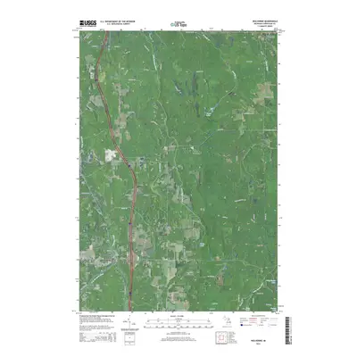 2014 Wolverine2014 Print · USGSNorthern Michigan's river valleys come alive in this mid-2010s survey of the Cheboygan County backcountry. Genealogists and local historians can trace family roots through the streets of Wolverine and Rondo, or locate the Saint Monica's Catholic Cem near the banks of the Pigeon River.
 - 2014 Map of Indian River, 2014 Print
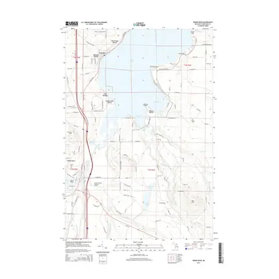 2014 Indian River2014 Print · USGSThe interconnected waterways of Cheboygan County are captured here in the early twenty-first century as the Inland Waterway links the region's largest lakes. Researchers can trace the layout of lakeside communities like Topinabee or locate local landmarks such as Oak Hill Cem and Calvin Campbell Municipal Airport.
 - 2014 Map of Wildwood, 2014 Print
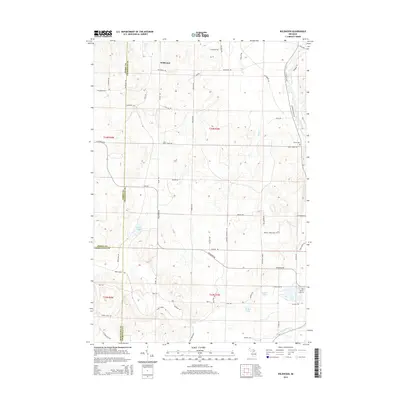 2014 Wildwood2014 Print · USGSNorthern Michigan’s lake-country character is preserved here just as the new millennium was unfolding. Genealogists and local historians can locate family-named landmarks like Boyer Hill Rd and Woods Homestead Rd or trace historic burials at Rondo Cem.
 - 2017 Map of Burt Lake, 2017 Print
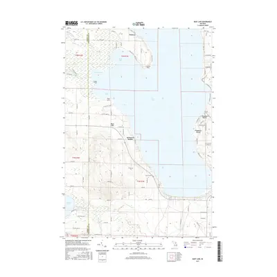 2017 Burt Lake2017 Print · USGSNorthern Michigan’s lakeside communities and woodlots are detailed here during the late twenty-teens. Genealogists and local historians can locate Harmon Grave, the Ohloville Cem, and established summer colonies at Wauban Beach and Colonial Point.
 - 2017 Map of Wolverine, 2017 Print
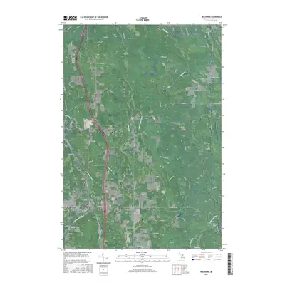 2017 Wolverine2017 Print · USGSThe village of Wolverine and its surrounding river valleys are captured here in the late twenty-first century. Researchers can trace the winding Sturgeon River or locate local landmarks like Saint Monica's Catholic Cem and the N Central State Trail.
 - 2017 Map of Indian River, 2017 Print
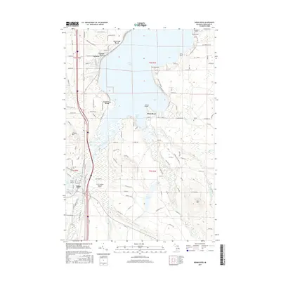 2017 Indian River2017 Print · USGSThe inland waterways and lakeshore communities of Cheboygan County are on full display in this modern survey. Researchers can trace family roots at Koehler Cem and Oak Hill Cem or explore the waterfront growth of Topinabee and Indian River.
 - 2017 Map of Wildwood, 2017 Print
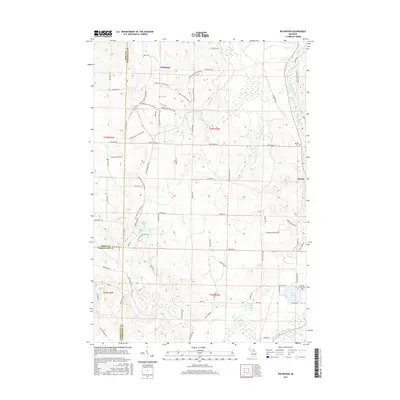 2017 Wildwood2017 Print · USGSThe rural borderlands of Emmet, Cheboygan, and Charlevoix counties are captured here in the late twenty-teens. Genealogists and local historians can trace family land via Woods Homestead Rd and locate resting places at Silver Lake Cem or Rondo Cem.
 - 2019 Map of Indian River, 2019 Print
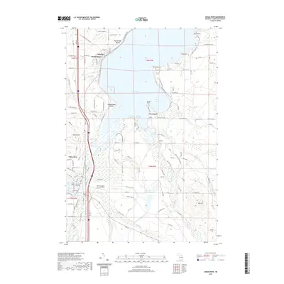 2019 Indian River2019 Print · USGSIndian River and the surrounding shores of Mullett Lake are shown here in the late 2010s during a period of established lakeside settlement. Researchers can trace the legacy of these resort communities through sites like Topinabee, Oak Hill Cem, and the N Central State Trail.
 - 2019 Map of Burt Lake, 2019 Print
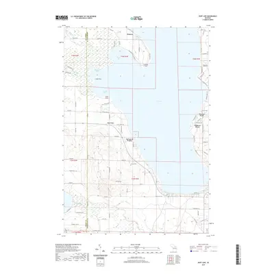 2019 Burt Lake2019 Print · USGSBurt Lake and its surrounding resort communities are captured here in the late 2010s. Genealogists and local historians can locate lakeside developments like Chippewa Beach and trace local family landmarks such as Ohioville Cem or the Harmon Grave.
 - 2019 Map of Wolverine, 2019 Print
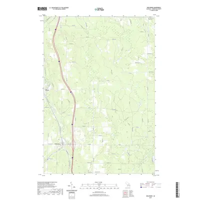 2019 Wolverine2019 Print · USGSCheboygan County’s river valleys and forest trails are captured here in the late twenty-teens, showing the transition from rail history to recreational use. You can trace the N Central State Trail through Wolverine and Rondo, or locate local landmarks like Holy Smoke Lake and Saint Monica's Catholic Cem.
 - 2019 Map of Wildwood, 2019 Print
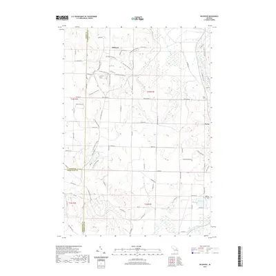 2019 Wildwood2019 Print · USGSThe borderlands of Emmet, Cheboygan, and Charlevoix counties are captured here in the late 2010s. Researchers can trace the path of the Sturgeon River or locate family sites at Rondo Cem and Silver Lake Cem near Wildwood.
 - 2023 Map of Wildwood, 2023 Print
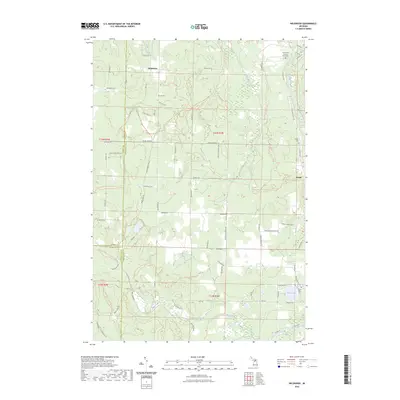 2023 Wildwood2023 Print · USGSNorthern Michigan at the junction of three counties reveals a landscape of deep forests and recreational trails. You can trace early local history through the Indian River Catholic Shrine Cemetery, the Woods Homestead, and the settlement of Rondo.
Showing maps 1-25 of 28
Top cities near Mentor Township
- Indian River historical maps
- Aloha historical maps
- Alanson historical maps
- Pellston historical maps
- Vanderbilt historical maps
- Wolverine historical maps
Top neighborhoods of Mentor Township
Frequently asked questions
- What are the different types of historical maps available for Mentor Township?
- What is the oldest map of Mentor Township?
- Where can I purchase historical maps of Mentor Township for my home or office?
- Where can I download high-res historical maps of Mentor Township?
- Are there historical topographic maps available for Mentor Township?
- Is there historical aerial imagery available for Mentor Township?
- Where are historical maps of Mentor Township sourced from?