Old Maps of Soo Township, Michigan for Metal Detecting
Plan your next treasure hunt with 46 historic maps of Soo Township. Find old homesites, ghost towns, trails, and gathering spots that may be lost to time — perfect for identifying promising metal detecting locations.
- Locate forgotten sites: Uncover places like long-lost settlements, abandoned rail lines, or gathering spots.
- Plan better hunts: Use map overlays combined with LiDAR or satellite views to narrow in on historically rich areas.
- Made for detectorists: Thousands of hobbyists use these maps to discover relics, coins, and hidden history.
Use these historic maps to boost your research and find new opportunities beneath the surface of Soo Township.
Soo Township, MI maps
(46)- 1913 Map of Sault Sainte Marie, 1919 Print
 1913 Sault Sainte Marie1919 Print · USGSUpper Peninsula maritime and rail activity converge at the border in the years before the Great War. Genealogists and local historians can trace early rural post offices and docks like Donaldson P.O., Shine Dock, and the hamlet of McCarron.
 - 1919 Map of Neebish
 1919 Neebish1919 Print · USGSThe St. Marys River waterways come alive in the final year of the Great War, showing the intricate island navigation and early logging outposts. Genealogists and historians can trace Echo Bay P.O., the Dunbar School, and industrial sites like Winter's Saw Mill.
 - 1941 Map of Neebish
 1941 Neebish1941 Print · USGSChippewa County island life and maritime traffic are captured here in the early 1940s, showing the vital shipping channels along the Canadian border. Genealogists can trace the rural community through landmarks like the Neebish Ferry, Homestead, and the Stone School.
 - 1941 Map of Sault Sainte Marie
 1941 Sault Sainte Marie1941 Print · USGSUpper Peninsula life centered on the locks and river during the early years of the war. Genealogists and historians can trace family-named schools and rural landmarks from Algonquin down to the Parkerville Church and Dafter.
 - 1951 Map of Shallows
 1951 Shallows1951 Print · USGSThe Upper Peninsula shoreline south of the Canadian border was a landscape of dense state forests and emerging rail hubs in the early fifties. Local historians can trace the foundations of Sault Ste Marie and rural landmarks like the County Farm and Pine Grove Cem.3 unique versions available
 - 1951 Map of Oak Ridge, 1958 Print
 1951 Oak Ridge1958 Print · USGSThe shipping channels and island communities of the Saint Marys River are captured here in the early fifties. Genealogists and maritime historians can trace the borderlands of Neebish Island and Sugar Island, locating the Oak Ridge Park Sch and the settlement of Homestead.2 unique versions available
 - 1951 Map of Sault Ste. Marie, 1958 Print
 1951 Sault Ste. Marie1958 Print · USGSSault Ste. Marie and the eastern Upper Peninsula are seen here at the dawn of the 1950s, showing the vital shipping arteries and borderlands. Researchers can locate numerous vanished rural schoolhouses like Green Sch Aband and trace the original Michigan 129 through Barbeau and Rosedale.2 unique versions available
 - 1951 Map of Sault Ste. Marie South, 1958 Print
 1951 Sault Ste. Marie South1958 Print · USGSSault Ste. Marie and the Saint Marys River are captured here in the early fifties at a height of maritime and military activity. Local historians can trace the development of the Soo Locks and locate numerous rural schoolhouses like McKinnon Sch and Grier Sch.3 unique versions available
 - 1951 Map of Lake George, 1958 Print
 1951 Lake George1958 Print · USGSThe international waters of the Saint Marys River and Sugar Island are shown here in the early fifties. Genealogists can trace family footprints at Sacred Heart Ch, Hiawatha Sch, and the riverside settlement of Baie de Wasai.
 - 1953 Map of Munuscong, 1955 Print
 1953 Munuscong1955 Print · USGSThe eastern Upper Peninsula shoreline comes alive in the mid-fifties, showing the vital maritime corridors of the St. Marys River. Trace the winding Gogomain River through the forest or locate the docks and lights at Munuscong and Pilot Island Light.2 unique versions available
 - 1953 Map of Munuscong NE, 1955 Print
 1953 Munuscong NE1955 Print · USGSThe international border along the Saint Marys River comes alive in the early 1950s, showing the intersection of Michigan and Ontario. Tracing the shoreline reveals landmarks like Point aux Frenes, the North Raber Sch, and the wild reaches of Neebish Island.3 unique versions available
 - 1954 Map of Sault Sainte Marie, 1979 Print
 1954 Sault Sainte Marie1979 Print · USGSThe Eastern Upper Peninsula and Ontario borderlands are captured here at the height of the mid-century era. Family historians can trace settlements like Grand Marais and Stalwart, while mapping the strategic grounds of Kincheloe AFB.3 unique versions available
 - 1956 Map of Sault Sainte Marie, 1964 Print
 1956 Sault Sainte Marie1964 Print · USGSThe Eastern Upper Peninsula and the Canadian border meet in this mid-sixties survey of the bustling Soo Locks region. Genealogists and historians can trace the paths of the Soo Line and locate lakeside communities from Grand Marais to Shelldrake.2 unique versions available
 - 1957 Map of Sault Sainte Marie
 1957 Sault Sainte Marie1957 Print · USGSThe Upper Peninsula and Ontario border come alive in this mid-century portrait of the eastern Lake Superior shoreline and the vital St. Marys River corridor. Genealogists and historians can trace rail-era settlements from Newberry to Detour, while locating military landmarks like Kinross Air Force Base.
 - 1958 Map of Sault Sainte Marie
 1958 Sault Sainte Marie1958 Print · USGSThe eastern Upper Peninsula and the Canadian borderland appear here during the late fifties, a time of military growth and forest management. Researchers can locate vanished rail stops along the Soo Line, early sites like the Fiborn Quarry, and the sprawling Kinross Air Force Base.
 - 1984 Map of Sault Ste. Marie South, 1985 Print
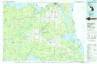 1984 Sault Ste. Marie South1985 Print · USGSEastern Upper Peninsula life in the 1980s is captured here, from the northern forests down to the northern shores of Lake Huron. Researchers can locate small lakeside communities like Dollar Settlement, trace the Soo Line Railroad, and find family sites near Pine Grove Cem.2 unique versions available
 - 2011 Map of Sault Ste. Marie South, 2011 Print
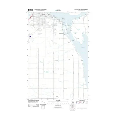 2011 Sault Ste. Marie South2011 Print · USGSSault Sainte Marie and its southern reaches appear in detail during the early 21st century, centered on the bustling Saint Marys River. Researchers can locate family sites near Rosedale Cemetery or trace maritime landmarks like the Bayfield Rock Range Lights and Welchs Dock.
 - 2011 Map of Munuscong NE, 2011 Print
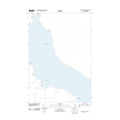 2011 Munuscong NE2011 Print · USGSThe northern reaches of Lake Huron and the Saint Marys River are documented here in the early twenty-first century. Genealogists and local historians can locate the Johnston Family Cemetery on Neebish Island and trace roads leading to Point aux Frenes.
 - 2011 Map of Munuscong, 2011 Print
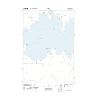 2011 Munuscong2011 Print · USGSThe eastern Upper Peninsula shoreline comes alive in the early twenty-first century, showing the critical navigation channels of the St. Marys River system. Boaters and local historians can trace landmarks like Moon Island Leading Light, the Winter Point Range, and Sawmill Point.
 - 2011 Map of Oak Ridge, 2011 Print
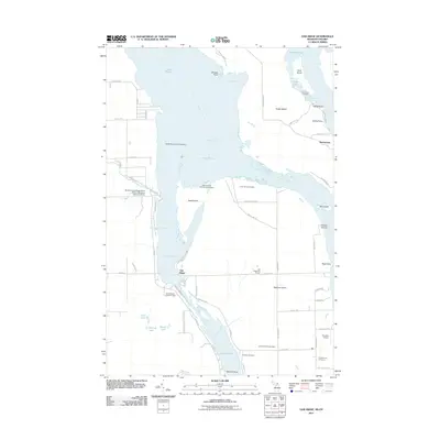 2011 Oak Ridge2011 Print · USGSThe river channels and islands south of Sault Ste. Marie are shown in high detail during the early twenty-first century. Genealogists and local historians can trace burial sites like Laitinen Family Cemetery and landmarks such as the Oak Ridge Park School.
 - 2011 Map of Oak Ridge OE E, 2011 Print
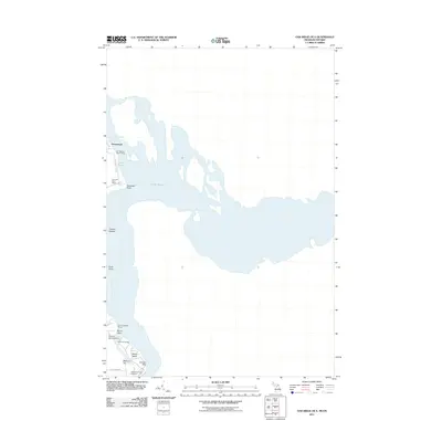 2011 Oak Ridge OE E2011 Print · USGSThe international border waters between Michigan and Ontario are captured here in the early 2010s, focusing on the channels and islands of the St. Marys River system. Researchers can trace family history at the Johnston Family Cemetery or locate local landmarks like Homestead and Rains Island.
 - 2011 Map of Shallows, 2011 Print
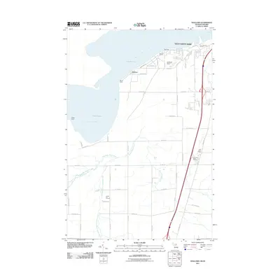 2011 Shallows2011 Print · USGSSault Sainte Marie and the Lake Superior shoreline are captured here in the early twenty-first century as urban development met the northern wilderness. Researchers can trace local landmarks like Pine Grove Grange, the historic Cottage Park Cemetery, and Sherman Park Zoo.
 - 2014 Map of Sault Ste. Marie South, 2014 Print
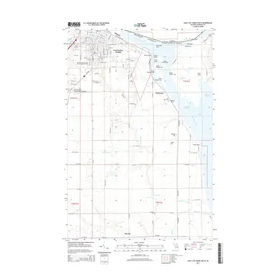 2014 Sault Ste. Marie South2014 Print · USGSIn the early twenty-first century, the international border at the St. Marys River remains a focal point for Michigan history and maritime industry. Genealogists and local historians can trace the landscape from Sault Ste. Marie down to the rural Rosedale Cem and the shores of Sugar Island.
 - 2014 Map of Oak Ridge, 2014 Print
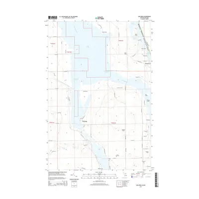 2014 Oak Ridge2014 Print · USGSChippewa County's river-bound landscape is documented here in the early twenty-first century as it borders Ontario along the Saint Marys River. Genealogists and local historians can trace family sites at the Laitinen Family Cem, find Franklin's Airport, or locate the settlements of Oak Ridge and Homestead.
 - 2014 Map of Munuscong NE, 2014 Print
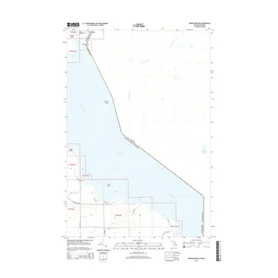 2014 Munuscong NE2014 Print · USGSThe international border along the Saint Marys River is captured here in the early 21st century. Genealogists and local historians can locate the Johnston Family Cem on Neebish Island and trace the shores of Munuscong Lake.
Showing maps 1-25 of 46
Top cities near Soo Township
- Sault Ste. Marie historical maps
- Sault Sainte Marie historical maps
- Pickford historical maps
- Dafter historical maps
Top neighborhoods of Soo Township
Frequently asked questions
- What are the different types of historical maps available for Soo Township?
- What is the oldest map of Soo Township?
- Where can I purchase historical maps of Soo Township for my home or office?
- Where can I download high-res historical maps of Soo Township?
- Are there historical topographic maps available for Soo Township?
- Is there historical aerial imagery available for Soo Township?
- Where are historical maps of Soo Township sourced from?