2000s (21st Century) Maps of Summerfield Township, Michigan
Explore 20 historic maps of Summerfield Township from the 2000s (21st Century). These maps offer a rare glimpse into what life looked like during the 2000s — showing old roads, neighborhoods, homes, and landmarks that have changed or disappeared over time.
Whether you're researching your family's past, planning a metal detecting trip, or studying how Summerfield Township's landscape evolved across the 2000s, these high-resolution maps are a powerful tool for exploring the history of this region.
- Focus on a specific era: All maps on this page are from the 2000s, giving you a focused view of this time period.
- See what’s changed: Compare century-old streets, trails, and buildings to today's modern landscape using overlays and satellite layers.
- Research with precision: Use these maps for genealogy, historical research, land use analysis, or educational projects.
- View, download, or print: Maps are fully viewable online in high resolution, and can be downloaded or printed for your own records.
Start exploring Summerfield Township's history through authentic maps from the 2000s. This is your window into the past.
Summerfield Township, MI maps
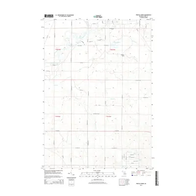
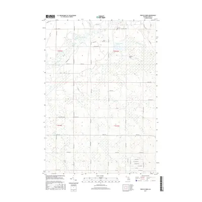
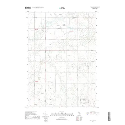
(20)- 2011 Map of Prestle Creek, 2011 Print
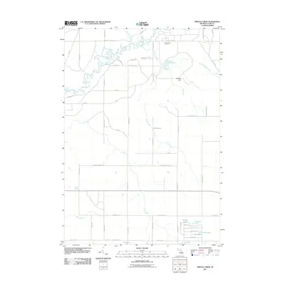 2011 Prestle Creek2011 Print · USGSCovers Summerfield Township, including Redding Township, Winterfield Township, and other nearby areas
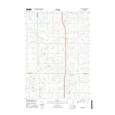
 - 2011 Map of Cooperton, 2011 Print
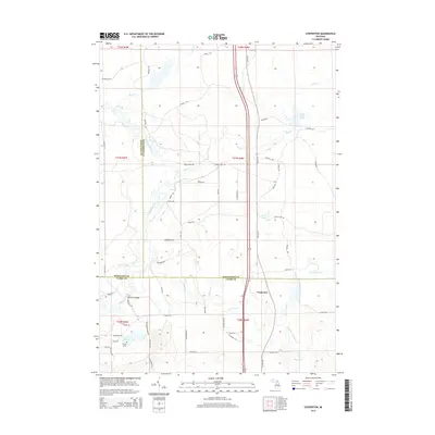
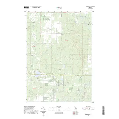
 2011 Cooperton2011 Print · USGSCovers Summerfield Township, including Frost Township, Cooperton, and other nearby areas
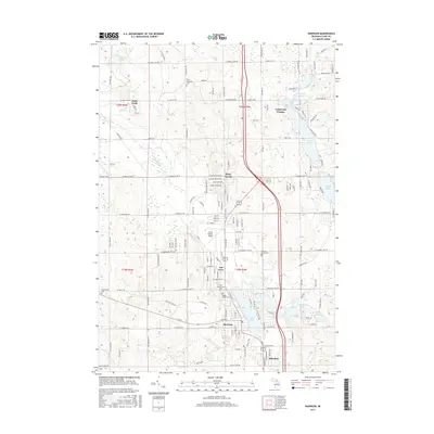
 - 2011 Map of Harrison, 2011 Print
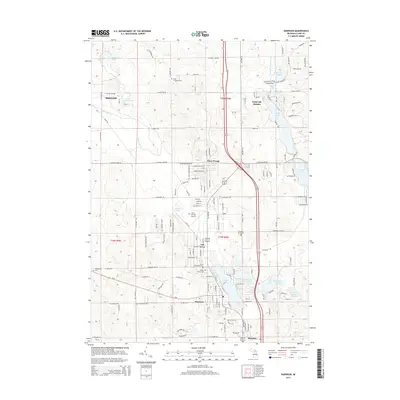
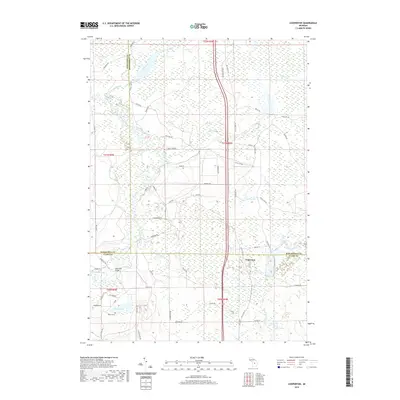
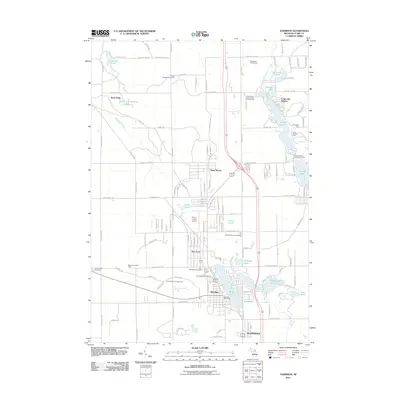 2011 Harrison2011 Print · USGSCovers Summerfield Township, including Harrison, Frost Township, and other nearby areas
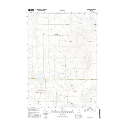
 - 2011 Map of Moddersville, 2011 Print
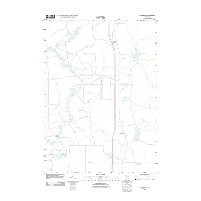
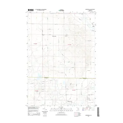
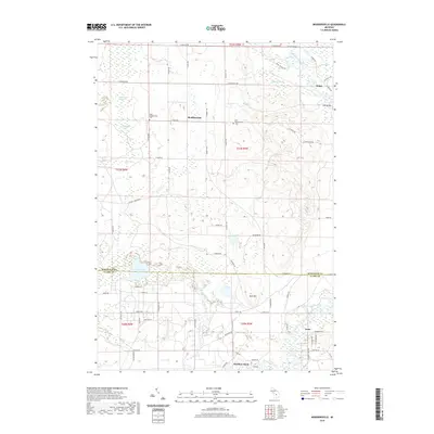
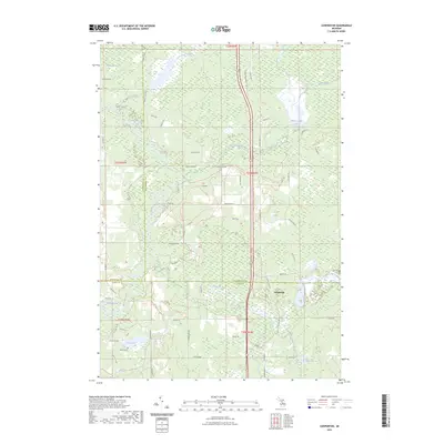
 2011 Moddersville2011 Print · USGSCovers Summerfield Township, including Dolph, Moddersville, and other nearby areas
 - 2014 Map of Harrison, 2014 Print
 2014 Harrison2014 Print · USGSCovers Summerfield Township, including Harrison, Frost Township, and other nearby areas
 - 2014 Map of Moddersville, 2014 Print
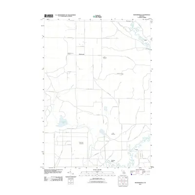
 2014 Moddersville2014 Print · USGSCovers Summerfield Township, including Dolph, Moddersville, and other nearby areas
 - 2014 Map of Prestle Creek, 2014 Print
 2014 Prestle Creek2014 Print · USGSCovers Summerfield Township, including Redding Township, Winterfield Township, and other nearby areas
 - 2014 Map of Cooperton, 2014 Print
 2014 Cooperton2014 Print · USGSCovers Summerfield Township, including Frost Township, Cooperton, and other nearby areas
 - 2017 Map of Prestle Creek, 2017 Print
 2017 Prestle Creek2017 Print · USGSCovers Summerfield Township, including Redding Township, Winterfield Township, and other nearby areas
 - 2017 Map of Cooperton, 2017 Print
 2017 Cooperton2017 Print · USGSCovers Summerfield Township, including Frost Township, Cooperton, and other nearby areas
 - 2017 Map of Harrison, 2017 Print
 2017 Harrison2017 Print · USGSCovers Summerfield Township, including Harrison, Frost Township, and other nearby areas
 - 2017 Map of Moddersville, 2017 Print
 2017 Moddersville2017 Print · USGSCovers Summerfield Township, including Dolph, Moddersville, and other nearby areas
 - 2019 Map of Cooperton, 2019 Print
 2019 Cooperton2019 Print · USGSCovers Summerfield Township, including Frost Township, Cooperton, and other nearby areas
 - 2019 Map of Harrison, 2019 Print
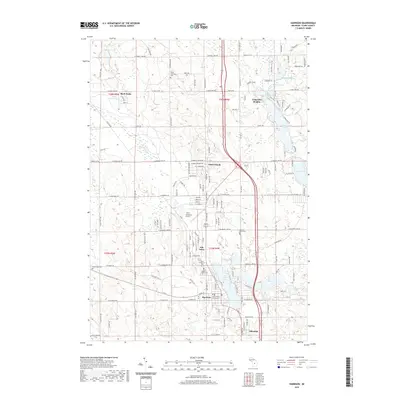 2019 Harrison2019 Print · USGSCovers Summerfield Township, including Harrison, Frost Township, and other nearby areas
 - 2019 Map of Prestle Creek, 2019 Print
 2019 Prestle Creek2019 Print · USGSCovers Summerfield Township, including Redding Township, Winterfield Township, and other nearby areas
 - 2019 Map of Moddersville, 2019 Print
 2019 Moddersville2019 Print · USGSCovers Summerfield Township, including Dolph, Moddersville, and other nearby areas
 - 2023 Map of Prestle Creek, 2023 Print
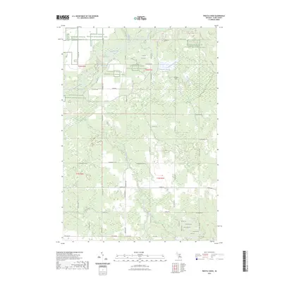 2023 Prestle Creek2023 Print · USGSIn the central Michigan woodlands of Clare County, this survey documents a landscape shaped by the Muskegon River and conservation efforts. Researchers can locate the Summerfield Cem, trace the waters of Harrington Bayou, and explore the geography of Floodwood Swamp.
 - 2023 Map of Cooperton, 2023 Print
 2023 Cooperton2023 Print · USGSThe tri-county junction of Roscommon, Missaukee, and Clare counties comes into focus in this contemporary survey of the Muskegon River basin. Researchers can locate family landmarks like the Wilson Grave or trace the winding course of Town Line Creek and Wolf Creek.
 - 2023 Map of Harrison, 2023 Print
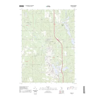 2023 Harrison2023 Print · USGSHarrison and the central Michigan lake country are captured here in recent years, showing the area's development around the water. Researchers can trace local lineage through several sites including Frost Township Cem, Greenwood Cem, and the historic Clare County Courthouse.
 - 2023 Map of Moddersville, 2023 Print
 2023 Moddersville2023 Print · USGSMissaukee and Clare counties are captured in this modern survey, revealing a landscape where the Muskegon River flows through dense wetlands. Researchers can locate the West Moddersville Cem, the settlement of Dolph, and the specialized Kirtlands Warbler W M A.
End of results
Showing maps 1-20 of 20
Top cities near Summerfield Township
- Houghton Lake historical maps
- Harrison historical maps
- Hatton historical maps
- Marion historical maps
- Butterfield historical maps
Top neighborhoods of Summerfield Township
Frequently asked questions
- What are the different types of historical maps available for Summerfield Township?
- What is the oldest map of Summerfield Township?
- Where can I purchase historical maps of Summerfield Township for my home or office?
- Where can I download high-res historical maps of Summerfield Township?
- Are there historical topographic maps available for Summerfield Township?
- Is there historical aerial imagery available for Summerfield Township?
- Where are historical maps of Summerfield Township sourced from?