Old Maps of Summerfield Township, Michigan for Genealogy
Trace your family roots with 29 historic maps of Summerfield Township. These high-res maps reveal old neighborhoods, homesites, landmarks, and streets — helping you uncover where your ancestors lived and how the area evolved over time.
- Explore historic neighborhoods: Identify where your relatives may have lived in the 1800s or 1900s.
- Compare maps over time: Trace the changes in streets, buildings, and landmarks for multi-generational research.
- Perfect for genealogy & ancestry research: Used by family historians and researchers to map out lineage and migration.
These maps are an incredible resource for exploring your personal connection to Summerfield Township's past.
Summerfield Township, MI maps
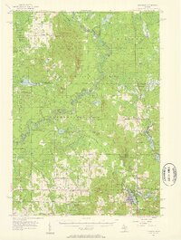
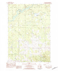
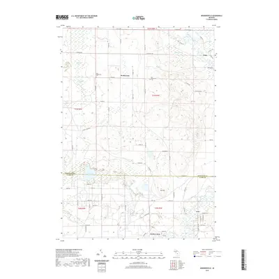
(29)- 1954 Map of Traverse City, 1965 Print
 1954 Traverse City1965 Print · USGSNorthern Michigan’s vast lakeshores and timberlands are captured here in the mid-fifties, showing the region before the modern interstate era. Genealogists and researchers can trace rail connections like the Detroit and Mackinac RR or find old communities such as Suttons Bay, Elk Rapids, and Prudenville.4 unique versions available
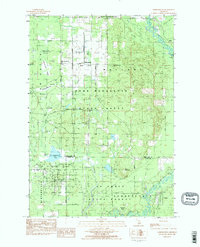
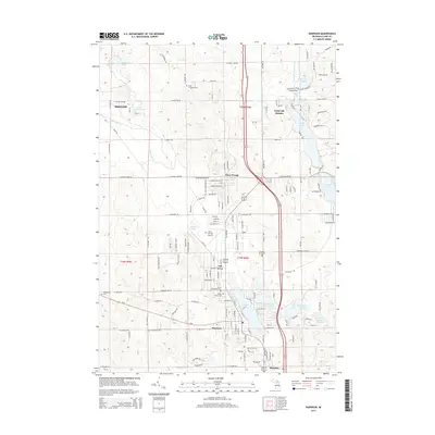
 - 1957 Map of Harrison, 1958 Print
 1957 Harrison1958 Print · USGSHarrison and the Houghton Lake State Forest appear here in the late fifties, showcasing a region of timber, oil, and quiet lakeside settlements. Researchers can trace rural life through the Latter Day Saints Ch, Summerfield Cem, and the old Doty Sch.2 unique versions available
 - 1958 Map of Traverse City
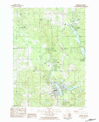
 1958 Traverse City1958 Print · USGSNorthern Lower Michigan was a landscape of vast state forests and burgeoning lakeside retreats in the late fifties. Genealogists and historians can trace the rail corridors of the Ann Arbor RR and find established settlements from Elk Rapids to Houghton Lake.2 unique versions available
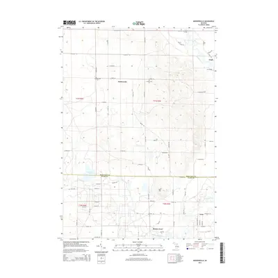
 - 1983 Map of Moddersville, 1984 Print
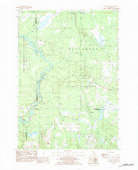
 1983 Moddersville1984 Print · USGSThe Moddersville area and the upper reaches of the Muskegon River are documented here in the early eighties. Genealogists and local historians can locate the West Moddersville Cem, the Townhall, and the riverside settlement of Leota.2 unique versions available
 - 1983 Map of Houghton Lake, 1984 Print
 1983 Houghton Lake1984 Print · USGSIn the early 1980s, the Michigan heartland around Houghton Lake was a patchwork of state forest and growing lakeside resorts. Genealogists and historians can trace the development of communities like West Branch and Rose City alongside landmarks like Roscommon County Airfield.
 - 1983 Map of Harrison, 1984 Print
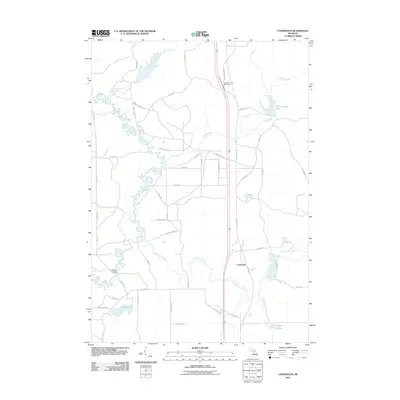
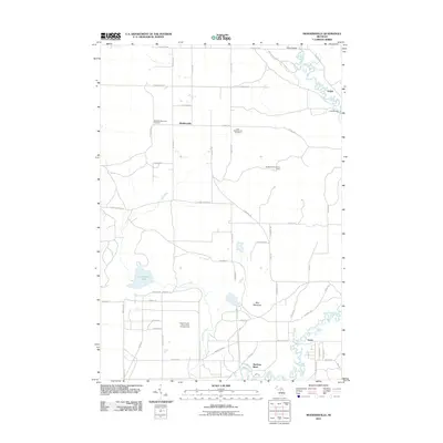
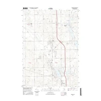
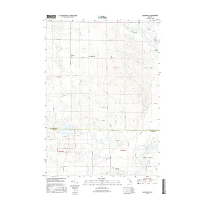
 1983 Harrison1984 Print · USGSHarrison and its surrounding lake country are shown here in the early 1980s, revealing a landscape of dense forests and expanding residential developments. Researchers can trace local heritage through numerous cemeteries like Maple Grove Cem and community landmarks such as the County Fairground and Budd Lake.
 - 1983 Map of Cooperton, 1984 Print
 1983 Cooperton1984 Print · USGSThe Muskegon River oxbows through the Michigan timberlands in the early eighties, marking the intersection of the Missaukee, Roscommon, and Clare county lines. Researchers can trace forest development near Cooperton and locate remote sites like Wraco Lodge Lake and the Bear Creek Dam.
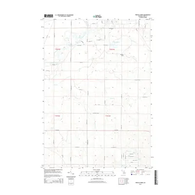
 - 1983 Map of Prestle Creek, 1984 Print
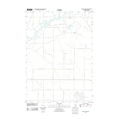
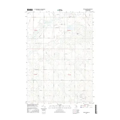
 1983 Prestle Creek1984 Print · USGSClare County's wetlands and timberlands are captured here in the early eighties, showing the meeting of the Au Sable State Forest and the local energy industry. Researchers can trace family-named sites like Mc Watty Knoll or locate the Township Cem and the Townhall near Starkey Lake.
 - 1989 Map of Traverse City, 1990 Print
 1989 Traverse City1990 Print · USGSNorthern Michigan’s lake-country and forest lands are captured in the late eighties as seasonal tourism and timber hubs expanded. Genealogists and historians can trace the routes of the Ann Arbor RR, the boundaries of Camp Grayling, and settlements like Elk Rapids and Manton.
 - 2011 Map of Prestle Creek, 2011 Print
 2011 Prestle Creek2011 Print · USGSCovers Summerfield Township, including Redding Township, Winterfield Township, and other nearby areas
 - 2011 Map of Cooperton, 2011 Print
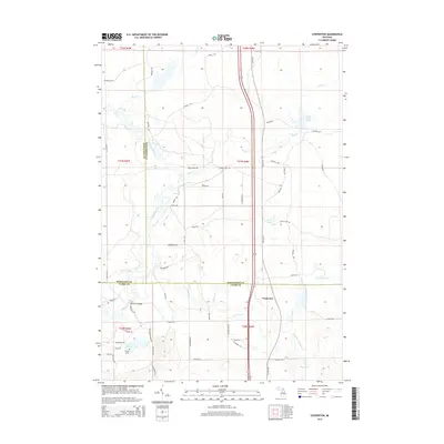
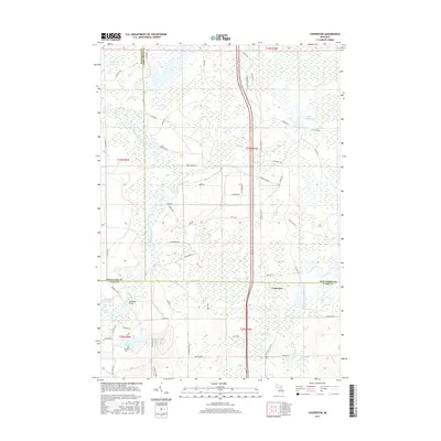
 2011 Cooperton2011 Print · USGSCovers Summerfield Township, including Frost Township, Cooperton, and other nearby areas
 - 2011 Map of Harrison, 2011 Print
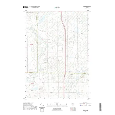
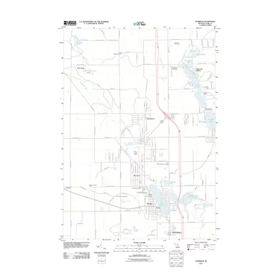 2011 Harrison2011 Print · USGSCovers Summerfield Township, including Harrison, Frost Township, and other nearby areas
 - 2011 Map of Moddersville, 2011 Print
 2011 Moddersville2011 Print · USGSCovers Summerfield Township, including Dolph, Moddersville, and other nearby areas
 - 2014 Map of Harrison, 2014 Print
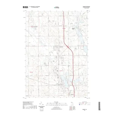
 2014 Harrison2014 Print · USGSCovers Summerfield Township, including Harrison, Frost Township, and other nearby areas
 - 2014 Map of Moddersville, 2014 Print
 2014 Moddersville2014 Print · USGSCovers Summerfield Township, including Dolph, Moddersville, and other nearby areas
 - 2014 Map of Prestle Creek, 2014 Print
 2014 Prestle Creek2014 Print · USGSCovers Summerfield Township, including Redding Township, Winterfield Township, and other nearby areas
 - 2014 Map of Cooperton, 2014 Print
 2014 Cooperton2014 Print · USGSCovers Summerfield Township, including Frost Township, Cooperton, and other nearby areas
 - 2017 Map of Prestle Creek, 2017 Print
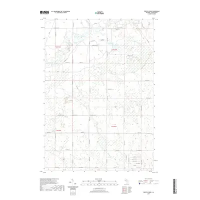
 2017 Prestle Creek2017 Print · USGSCovers Summerfield Township, including Redding Township, Winterfield Township, and other nearby areas
 - 2017 Map of Cooperton, 2017 Print
 2017 Cooperton2017 Print · USGSCovers Summerfield Township, including Frost Township, Cooperton, and other nearby areas
 - 2017 Map of Harrison, 2017 Print
 2017 Harrison2017 Print · USGSCovers Summerfield Township, including Harrison, Frost Township, and other nearby areas
 - 2017 Map of Moddersville, 2017 Print
 2017 Moddersville2017 Print · USGSCovers Summerfield Township, including Dolph, Moddersville, and other nearby areas
 - 2019 Map of Cooperton, 2019 Print
 2019 Cooperton2019 Print · USGSCovers Summerfield Township, including Frost Township, Cooperton, and other nearby areas
 - 2019 Map of Harrison, 2019 Print
 2019 Harrison2019 Print · USGSCovers Summerfield Township, including Harrison, Frost Township, and other nearby areas
 - 2019 Map of Prestle Creek, 2019 Print
 2019 Prestle Creek2019 Print · USGSCovers Summerfield Township, including Redding Township, Winterfield Township, and other nearby areas
 - 2019 Map of Moddersville, 2019 Print
 2019 Moddersville2019 Print · USGSCovers Summerfield Township, including Dolph, Moddersville, and other nearby areas
Showing maps 1-25 of 29
Top cities near Summerfield Township
- Houghton Lake historical maps
- Harrison historical maps
- Hatton historical maps
- Marion historical maps
- Butterfield historical maps
Top neighborhoods of Summerfield Township
Frequently asked questions
- What are the different types of historical maps available for Summerfield Township?
- What is the oldest map of Summerfield Township?
- Where can I purchase historical maps of Summerfield Township for my home or office?
- Where can I download high-res historical maps of Summerfield Township?
- Are there historical topographic maps available for Summerfield Township?
- Is there historical aerial imagery available for Summerfield Township?
- Where are historical maps of Summerfield Township sourced from?