2000s (21st Century) Maps of Breen Township, Michigan
Explore 25 historic maps of Breen Township from the 2000s (21st Century). These maps offer a rare glimpse into what life looked like during the 2000s — showing old roads, neighborhoods, homes, and landmarks that have changed or disappeared over time.
Whether you're researching your family's past, planning a metal detecting trip, or studying how Breen Township's landscape evolved across the 2000s, these high-resolution maps are a powerful tool for exploring the history of this region.
- Focus on a specific era: All maps on this page are from the 2000s, giving you a focused view of this time period.
- See what’s changed: Compare century-old streets, trails, and buildings to today's modern landscape using overlays and satellite layers.
- Research with precision: Use these maps for genealogy, historical research, land use analysis, or educational projects.
- View, download, or print: Maps are fully viewable online in high resolution, and can be downloaded or printed for your own records.
Start exploring Breen Township's history through authentic maps from the 2000s. This is your window into the past.
Breen Township, MI maps
(25)- 2011 Map of Helps, 2011 Print
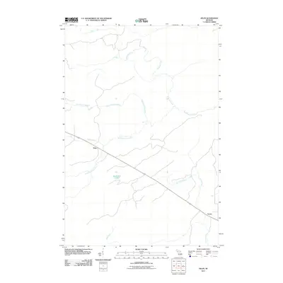 2011 Helps2011 Print · USGSBreen Township is captured in the early twenty-first century, showing a remote landscape defined by the branching of the Ford River. Researchers can locate the small settlements of Helps and Faunus or trace the winding paths of Skidmore Creek and Stephenson Lake.
 - 2011 Map of Foster City, 2011 Print
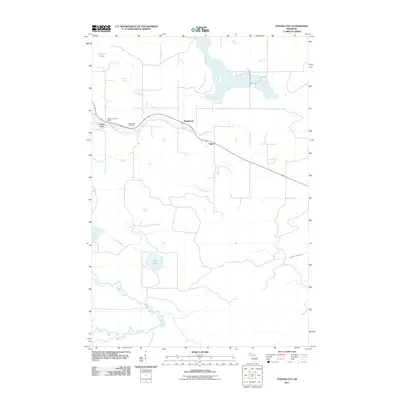 2011 Foster City2011 Print · USGSBreen Township and the Dickinson County timberlands are documented here in the early twenty-first century. Genealogists and local historians can locate the Foster City Cemetery, the Foster City Post Office, and the small settlements of Hardwood and Hylas.
 - 2011 Map of Felch, 2011 Print
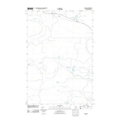 2011 Felch2011 Print · USGSFelch and the surrounding Dickinson County highlands are captured here in the early twenty-first century. Researchers can locate family landmarks like the Felch Cemetery or trace the water network from Upper Mill Pond Falls to the shores of Roosevelt Lake.
 - 2011 Map of Alfred, 2011 Print
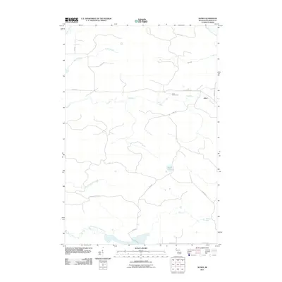 2011 Alfred2011 Print · USGSUpper Peninsula timberlands and river systems are documented here during the early twenty-first century. Researchers can trace the remote settlement of Alfred, locate the Alfred Lookout Tower, and follow the winding courses of the Ford River and Stafford Creek.
 - 2011 Map of Northland, 2011 Print
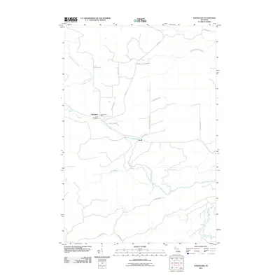 2011 Northland2011 Print · USGSUpper Peninsula Michigan at the start of the 2010s shows a landscape of dispersed settlements connected by a web of rural routes and river forks. Genealogists can locate the Northland Post Office and Riverview Cemetery near the banks of the Ford River.
 - 2014 Map of Felch, 2014 Print
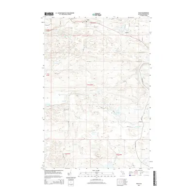 2014 Felch2014 Print · USGSThe northern Michigan mining and timber landscape near Felch comes to life in this recent survey. Researchers can trace the legacy of the Calumet Mine and find family-named locations like the Felch Cem and the settlement at Spruce.
 - 2014 Map of Helps, 2014 Print
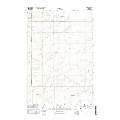 2014 Helps2014 Print · USGSThe Upper Peninsula settlements of Helps and Faunus are captured here in the early twenty-first century at the intersection of three counties. Researchers can trace rural road networks and water features like Stephenson Lake, W Br Ford River, and Cedar River.
 - 2014 Map of Alfred, 2014 Print
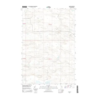 2014 Alfred2014 Print · USGSUpper Peninsula timberlands and river systems are documented here in the early twenty-first century. Genealogists and outdoorsmen can trace family-named roads like Schultz Rd and remote sites such as Alfred or Camp Third near the Ford River.
 - 2014 Map of Foster City, 2014 Print
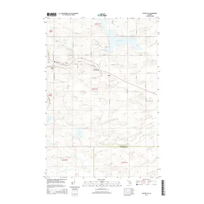 2014 Foster City2014 Print · USGSUpper Peninsula timber and settlement life are visible here in the early twenty-first century along the Sturgeon River and M-69. Genealogists can trace family footprints at Foster City Cem or along roads like Harry Peterson Rd and Swan Peterson Rd.
 - 2014 Map of Northland, 2014 Print
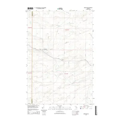 2014 Northland2014 Print · USGSThe Michigan Upper Peninsula interior near Northland is mapped here in the early twenty-first century. Genealogists and local historians can trace the sections around Reade, the Riverview Cemetery, and the winding path of the Ford River.
 - 2017 Map of Northland, 2017 Print
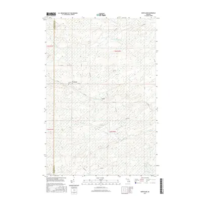 2017 Northland2017 Print · USGSUpper Peninsula timber and river lands come into focus in this recent study of Dickinson and Marquette counties. Genealogists and researchers can trace the vicinity of Northland, the Riverview Cem, and the path of the Ford River through the woods.
 - 2017 Map of Helps, 2017 Print
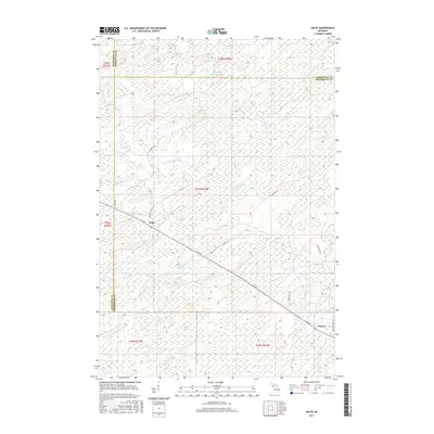 2017 Helps2017 Print · USGSThe Upper Peninsula landscape near the Dickinson and Menominee border is revealed here in the late twenty-first century. Researchers can trace the rural road network connecting Helps and Faunus or locate water features like Stephenson Lake and the S Br Ford River.
 - 2017 Map of Foster City, 2017 Print
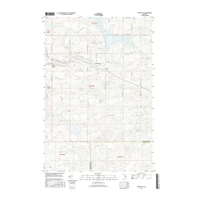 2017 Foster City2017 Print · USGSThe Upper Peninsula settlements of Foster City and Hardwood are captured here in the late twenty-teens. Genealogists and local historians can trace family-named roads like Beauchamp Rd and locate the Foster City Cem.
 - 2017 Map of Alfred, 2017 Print
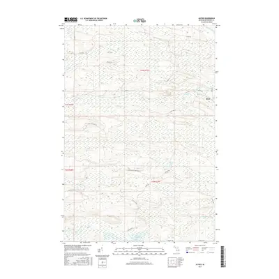 2017 Alfred2017 Print · USGSAlfred and the surrounding Dickinson County forests are captured here in the late twenty-teens, showcasing a landscape of timber trails and winding waterways. Researchers can trace the paths of the Ford River and explore the remote reaches of the Norway Lake Truck Trl or Beronto Lake.
 - 2017 Map of Felch, 2017 Print
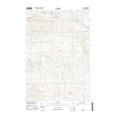 2017 Felch2017 Print · USGSThe northern Michigan landscape of Felch and Spruce is detailed here in the late 2010s. Genealogists and local historians can trace family-named routes like Nurse Carlson Rd and Cazzola Rd, or locate the Felch Cem near the W Br Sturgeon River.
 - 2019 Map of Helps, 2019 Print
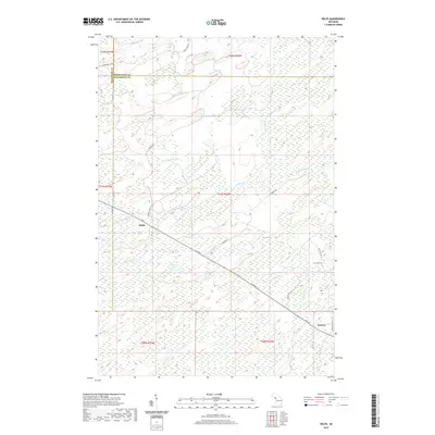 2019 Helps2019 Print · USGSUpper Peninsula timberlands and river systems are documented here during the late twenty-tens. Researchers can trace the drainage of the W Br Ford River and locate rural sites such as Helps, Faunus, and Stephenson Lake.
 - 2019 Map of Foster City, 2019 Print
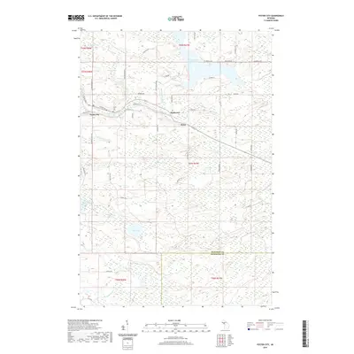 2019 Foster City2019 Print · USGSUpper Peninsula timber and river country is captured here near the turn of the twenty-first century. Researchers can trace the layout of Foster City, find local burials at Foster City Cem, and follow the path of the Sturgeon River.
 - 2019 Map of Felch, 2019 Print
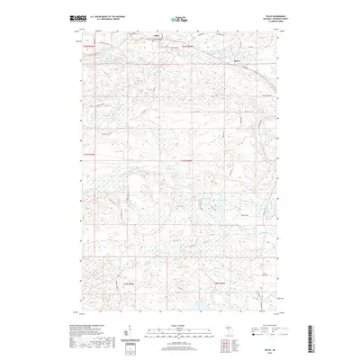 2019 Felch2019 Print · USGSThis Dickinson County township is documented here as it appeared in the late 2010s, centered on the community of Felch. Researchers can trace the local Felch Cem, follow the W Br Sturgeon River through Upper Mill Pond Falls, and find old routes like Calumet Mine Rd.
 - 2019 Map of Alfred, 2019 Print
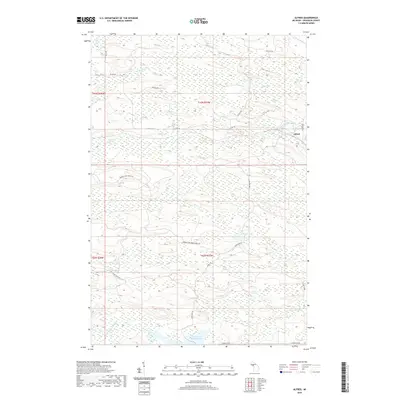 2019 Alfred2019 Print · USGSWest Branch Township remains a landscape of timber and water in this recent survey of Dickinson County. Researchers can trace the drainage of the Ford River and locate remote landmarks like Marsh Lake and the settlement of Alfred.
 - 2019 Map of Northland, 2019 Print
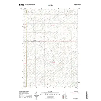 2019 Northland2019 Print · USGSThe small communities of Northland and Reade are documented here in recent years, situated along the timber and river lands of the Upper Peninsula. Genealogists and local historians can locate Riverview Cem and trace the paths of the Ford River and Tom Doe Cr.
 - 2023 Map of Helps, 2023 Print
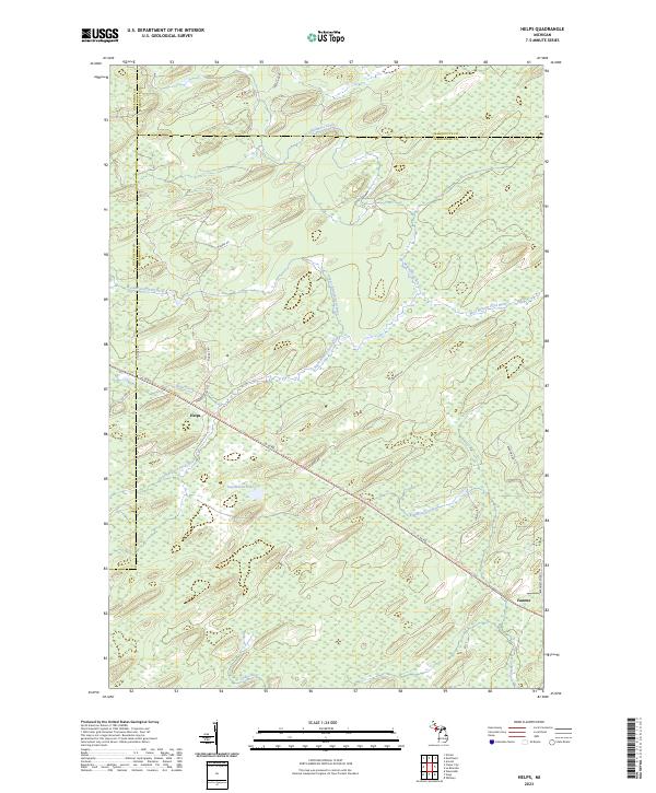 2023 Helps2023 Print · USGSUpper Peninsula timberlands and river forks come into focus in this contemporary survey of the Menominee County interior. Researchers can trace historic transportation lines like the Felch Grade Route/Trl and find old settlement markers at Helps and Faunus.
 - 2023 Map of Alfred, 2023 Print
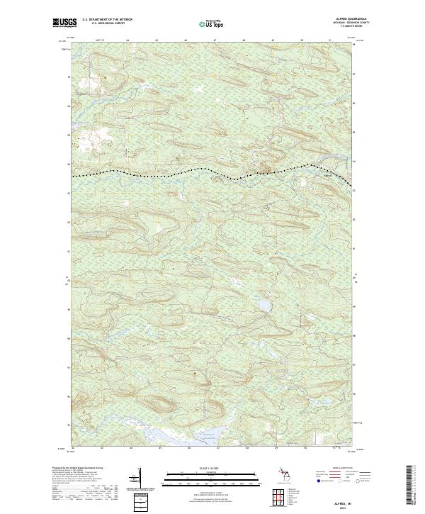 2023 Alfred2023 Print · USGSDickinson County's timberlands and river valleys are captured here in the early 2020s, centered on the community of Alfred. Researchers can trace the reach of the Ford River and its branches, alongside remote landmarks like Peronto Lake and the Hardwood Impoundment.
 - 2023 Map of Northland, 2023 Print
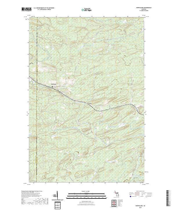 2023 Northland2023 Print · USGSThe Dickinson and Marquette county line comes alive in the early 2020s, showing a landscape defined by the Ford River and the North Branch Ford River. Genealogists and researchers can trace the settlement at Northland, locate Riverview Cemetery, and follow rural routes like Co Rd 426.
 - 2023 Map of Felch, 2023 Print
 2023 Felch2023 Print · USGSDickinson County’s timber and river country is captured here in the contemporary era, centered on the historic settlement of Felch. Genealogists and local historians can trace family-named landmarks like Nurse Carlson Rd or explore the drainage basins of the West Branch Sturgeon River and Breen Creek.
 - 2023 Map of Foster City, 2023 Print
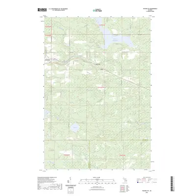 2023 Foster City2023 Print · USGSThe Upper Peninsula landscape near the Dickinson and Menominee county line is detailed here in the early twenty-first century. Researchers can trace the legacy of regional transport along the Felch Grade Route Trl and find family sites at Foster City Cem.
End of results
Showing maps 1-25 of 25
Top cities near Breen Township
Top neighborhoods of Breen Township
Frequently asked questions
- What are the different types of historical maps available for Breen Township?
- What is the oldest map of Breen Township?
- Where can I purchase historical maps of Breen Township for my home or office?
- Where can I download high-res historical maps of Breen Township?
- Are there historical topographic maps available for Breen Township?
- Is there historical aerial imagery available for Breen Township?
- Where are historical maps of Breen Township sourced from?