2010s Maps of Waucedah Township, Michigan
Explore 24 historic maps of Waucedah Township from the 2010s. These maps offer a rare glimpse into what life looked like during the 2010s — showing old roads, neighborhoods, homes, and landmarks that have changed or disappeared over time.
Whether you're researching your family's past, planning a metal detecting trip, or studying how Waucedah Township's landscape evolved across the 2010s, these high-resolution maps are a powerful tool for exploring the history of this region.
- Focus on a specific era: All maps on this page are from the 2010s, giving you a focused view of this time period.
- See what’s changed: Compare century-old streets, trails, and buildings to today's modern landscape using overlays and satellite layers.
- Research with precision: Use these maps for genealogy, historical research, land use analysis, or educational projects.
- View, download, or print: Maps are fully viewable online in high resolution, and can be downloaded or printed for your own records.
Start exploring Waucedah Township's history through authentic maps from the 2010s. This is your window into the past.
Waucedah Township, MI maps
(24)- 2011 Map of Cunard, 2011 Print
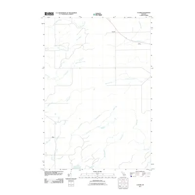 2011 Cunard2011 Print · USGSNadeau Township in the Upper Peninsula is depicted here at the start of the decade, showing a quiet landscape of rural settlements and winding waterways. Researchers can trace local history around Cunard and Blom, or follow the banks of the Little Cedar River.
 - 2011 Map of Vulcan, 2011 Print
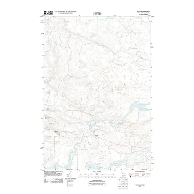 2011 Vulcan2011 Print · USGSThe community of Vulcan and its surrounding Dickinson County backcountry are mapped here during the early twenty-first century. Researchers can trace the local infrastructure of the Sturgeon River valley, from the Vulcan Post Office and Siding Number 5 to the heights of the Vulcan Lookout Tower.
 - 2011 Map of Foster City, 2011 Print
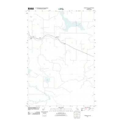 2011 Foster City2011 Print · USGSBreen Township and the Dickinson County timberlands are documented here in the early twenty-first century. Genealogists and local historians can locate the Foster City Cemetery, the Foster City Post Office, and the small settlements of Hardwood and Hylas.
 - 2011 Map of Faithorn, 2011 Print
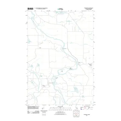 2011 Faithorn2011 Print · USGSThe Wisconsin-Michigan borderlands come into focus in the early 2000s, centered on the winding Menominee River. Researchers can trace the rural layout of Faithorn and Kremlin, locating landmarks like Saint Marys Church and the isolated Quiver Falls.
 - 2011 Map of Waucedah, 2011 Print
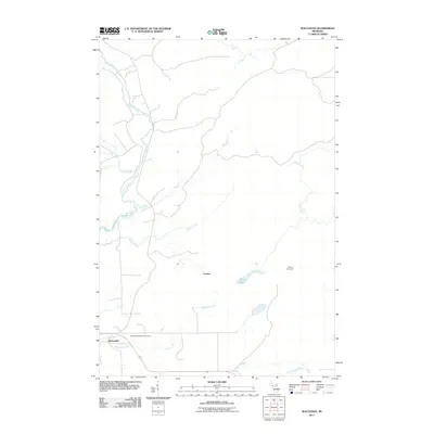 2011 Waucedah2011 Print · USGSUpper Peninsula settlement and hydrology are on display here in the early 2010s, showing the area around Waucedah. Genealogists and local historians can locate the Waucedah Township Cemetery and trace the paths of Sturgeon River and Hamilton Creek.
 - 2011 Map of Felch, 2011 Print
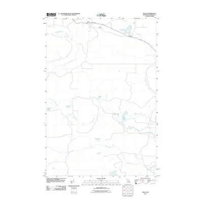 2011 Felch2011 Print · USGSFelch and the surrounding Dickinson County highlands are captured here in the early twenty-first century. Researchers can locate family landmarks like the Felch Cemetery or trace the water network from Upper Mill Pond Falls to the shores of Roosevelt Lake.
 - 2014 Map of Felch, 2014 Print
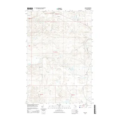 2014 Felch2014 Print · USGSThe northern Michigan mining and timber landscape near Felch comes to life in this recent survey. Researchers can trace the legacy of the Calumet Mine and find family-named locations like the Felch Cem and the settlement at Spruce.
 - 2014 Map of Cunard, 2014 Print
 2014 Cunard2014 Print · USGSUpper Peninsula timberlands and small settlements are detailed in this survey of the Menominee County borderlands. Genealogists and local historians can trace the rural network surrounding Cunard and Blom, alongside waterways like Pemene Creek and the Little Cedar River.
 - 2014 Map of Faithorn, 2014 Print
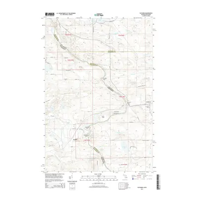 2014 Faithorn2014 Print · USGSThe Michigan-Wisconsin borderlands come into focus in this mid-2010s survey of the Menominee River valley. Local historians can trace the rural communities of Faithorn and Kremlin, alongside landmarks like Saint Marys Church and Quiver Falls.
 - 2014 Map of Waucedah, 2014 Print
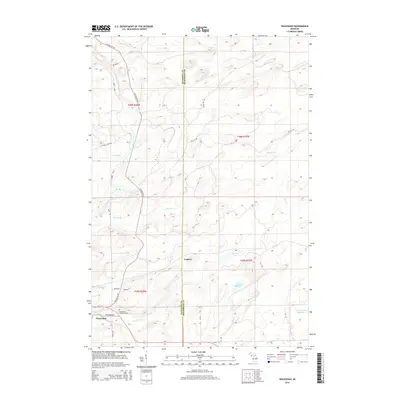 2014 Waucedah2014 Print · USGSUpper Peninsula history comes into focus in this recent survey of Dickinson County, where the village of Waucedah meets the Sturgeon River. Researchers can locate the Waucedah Township Cem and trace remote settlements like Leapers and Lake Number Eighteen.
 - 2014 Map of Vulcan, 2014 Print
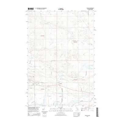 2014 Vulcan2014 Print · USGSUpper Peninsula Michigan life centers on the Sturgeon River and the communities of Vulcan and Loretto in the early twenty-first century. Researchers can trace local landmarks like Power Dam Falls, Hanbury Lake, and the residential network around Brier Hill.
 - 2014 Map of Foster City, 2014 Print
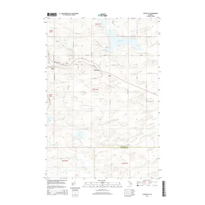 2014 Foster City2014 Print · USGSUpper Peninsula timber and settlement life are visible here in the early twenty-first century along the Sturgeon River and M-69. Genealogists can trace family footprints at Foster City Cem or along roads like Harry Peterson Rd and Swan Peterson Rd.
 - 2017 Map of Waucedah, 2017 Print
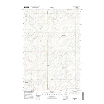 2017 Waucedah2017 Print · USGSWaucedah and the surrounding Northwoods forests appear in this recent study of the Dickinson County borderlands. Genealogists and local historians can locate the Waucedah Township Cem and trace old timber routes like CCC RD near the shores of Spruce Lake.
 - 2017 Map of Cunard, 2017 Print
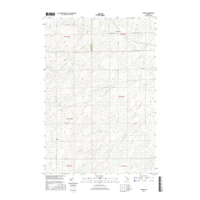 2017 Cunard2017 Print · USGSThe borderlands of Menominee and Dickinson Counties are mapped here in the late twenty-tens, capturing a landscape defined by timber roads and timberland streams. Researchers can trace the rural communities of Cunard and Blom and follow the routes of Little Cedar River and Pemene Cr.
 - 2017 Map of Faithorn, 2017 Print
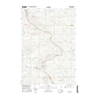 2017 Faithorn2017 Print · USGSThe Menominee River border between Michigan and Wisconsin is captured here in the late twenty-teens, showing the rural settlements of Faithorn and Kremlin. Researchers can trace old river crossings and local history at Saint Marys Church and the Pemebonwon Islands.
 - 2017 Map of Foster City, 2017 Print
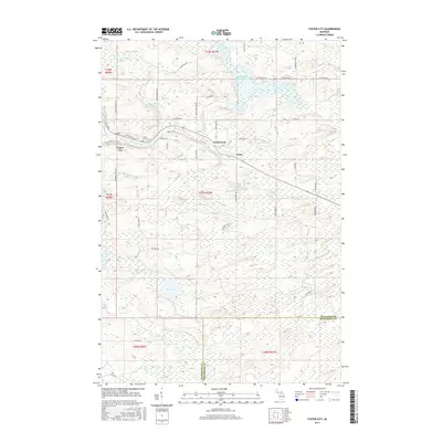 2017 Foster City2017 Print · USGSThe Upper Peninsula settlements of Foster City and Hardwood are captured here in the late twenty-teens. Genealogists and local historians can trace family-named roads like Beauchamp Rd and locate the Foster City Cem.
 - 2017 Map of Vulcan, 2017 Print
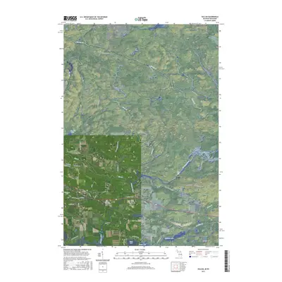 2017 Vulcan2017 Print · USGSThe settlements of Vulcan and Loretto anchor this 2017 survey of Michigan's Upper Peninsula. Genealogists and local historians can trace family roots along Swede Settlement Rd or explore landmarks like Power Dam Falls and Hanbury Lake.
 - 2017 Map of Felch, 2017 Print
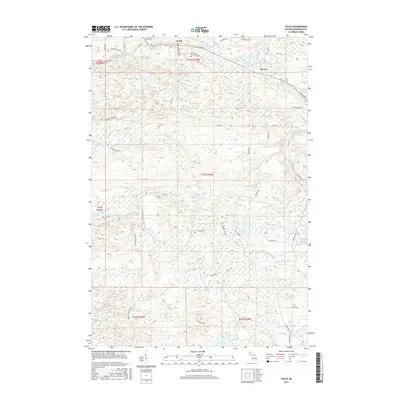 2017 Felch2017 Print · USGSThe northern Michigan landscape of Felch and Spruce is detailed here in the late 2010s. Genealogists and local historians can trace family-named routes like Nurse Carlson Rd and Cazzola Rd, or locate the Felch Cem near the W Br Sturgeon River.
 - 2019 Map of Foster City, 2019 Print
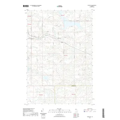 2019 Foster City2019 Print · USGSUpper Peninsula timber and river country is captured here near the turn of the twenty-first century. Researchers can trace the layout of Foster City, find local burials at Foster City Cem, and follow the path of the Sturgeon River.
 - 2019 Map of Vulcan, 2019 Print
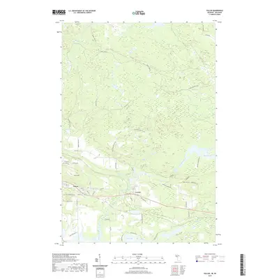 2019 Vulcan2019 Print · USGSWaucedah Township and the iron-rich hills of the Upper Peninsula are documented here in the modern era. Genealogists and local historians can trace the development of Vulcan and Loretto near Power Dam Falls and the historic Swede Settlement Rd.
 - 2019 Map of Waucedah, 2019 Print
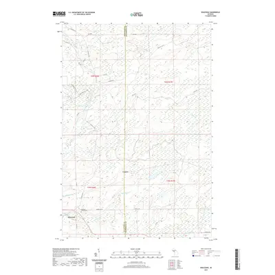 2019 Waucedah2019 Print · USGSThe Dickinson County interior near the Menominee County line is captured here in the late twenty-teens, showing the persistent settlement patterns of the Upper Peninsula. Researchers can locate the Waucedah Township Cem or trace the waters of Lake Number Eighteen and the Sturgeon River.
 - 2019 Map of Felch, 2019 Print
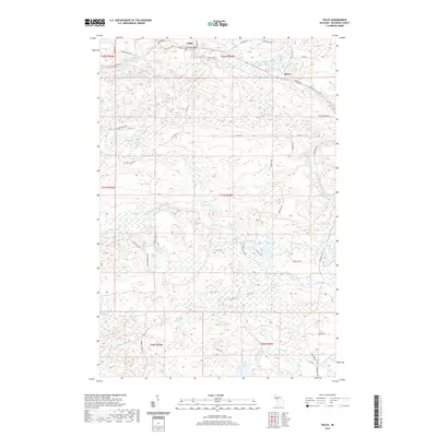 2019 Felch2019 Print · USGSThis Dickinson County township is documented here as it appeared in the late 2010s, centered on the community of Felch. Researchers can trace the local Felch Cem, follow the W Br Sturgeon River through Upper Mill Pond Falls, and find old routes like Calumet Mine Rd.
 - 2019 Map of Cunard, 2019 Print
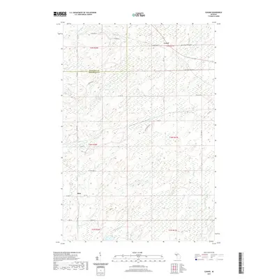 2019 Cunard2019 Print · USGSUpper Peninsula timberlands and wetlands define the Menominee County interior during this recent survey. Local historians can trace family roots around the settlements of Cunard and Blom or follow the paths of Pemene Cr and the Little Cedar River.
 - 2019 Map of Faithorn, 2019 Print
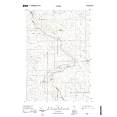 2019 Faithorn2019 Print · USGSThe Menominee River valley along the Wisconsin-Michigan border is shown here in the late 2010s. Genealogists and local historians can trace the riverside community of Faithorn, locate Saint Marys Church, and find family names at Hillcrest Cem.
End of results
Showing maps 1-24 of 24
Top cities near Waucedah Township
- Norway historical maps
- Niagara historical maps
- Pembine historical maps
- Quinnesec historical maps
- Waucedah historical maps
- Felch historical maps
See more
Top neighborhoods of Waucedah Township
Frequently asked questions
- What are the different types of historical maps available for Waucedah Township?
- What is the oldest map of Waucedah Township?
- Where can I purchase historical maps of Waucedah Township for my home or office?
- Where can I download high-res historical maps of Waucedah Township?
- Are there historical topographic maps available for Waucedah Township?
- Is there historical aerial imagery available for Waucedah Township?
- Where are historical maps of Waucedah Township sourced from?