Old Maps of Sunfield Township, Michigan for Academic Research
Study the evolution of Sunfield Township with 36 high-resolution historic maps. Whether you're teaching, researching, or modeling changes in land use, these maps provide essential visual documentation of urban, environmental, and geographic change.
- Analyze long-term change: Track patterns in development, transportation, and natural features.
- Ideal for environmental or urban studies: Support academic projects with primary historical map data.
- Use in the classroom or lab: Educators and researchers rely on these maps to bring historical context to life.
These maps are a powerful tool for teaching, research, and visualizing how Sunfield Township has changed over the decades.
Sunfield Township, MI maps
(36)- 1916 Map of Ionia, 1958 Print
 1916 Ionia1958 Print · USGSIonia and the surrounding rural townships are shown during a period of transition in the early twentieth century. Genealogists can locate numerous rural schoolhouses like Welch School and Limerick School, or trace the tracks of the Pere Marquette railroad through Saranac.2 unique versions available
 - 1918 Map of Ionia
 1918 Ionia1918 Print · USGSIonia County and northern Barry County appear here at the end of the Great War, as the river-and-rail economy peaked. Genealogists can trace family footprints across dozens of country school sites like Bushnell School and named corners such as Tremaine Corners.2 unique versions available
 - 1943 Map of Ionia, 1944 Print
 1943 Ionia1944 Print · USGSCentral Michigan’s rural landscape during the wartime era shows a dense network of country schoolhouses and river-valley institutions. Genealogists and local historians can trace family-named landmarks like Henderleider Sch and Saranac along the Pere Marquette rail line.
 - 1945 Map of Portland, 1946 Print
 1945 Portland1946 Print · USGSCentral Michigan river valleys thrive in the 1940s as agricultural and transit hubs. Genealogists can locate dozens of family-named schoolhouses and cemeteries like Eagle Cem, while tracing the Pere Marquette rail line and Wagar Dam.3 unique versions available
 - 1949 Map of Charlotte
 1949 Charlotte1949 Print · USGSEaton County enters the post-war era as a thriving rail hub where the Michigan Central and Grand Trunk lines meet. Genealogists and historians can trace dozens of rural schoolhouses and family cemeteries, from Shaytown to the County Farm.3 unique versions available
 - 1950 Map of Nashville, 1967 Print
 1950 Nashville1967 Print · USGSThe Thornapple River valley in the mid-twentieth century shows a landscape of rail-connected villages and rural school districts. Genealogists can locate family landmarks like Woodlawn Cem, McKelvey Sch, and the New York Central rail line.
 - 1951 Map of Nashville
 1951 Nashville1951 Print · USGSThe rural landscape of Barry and Eaton Counties in the early 1950s reveals a dense network of family-named landmarks and country schools. Genealogists can trace local roots through numerous sites like Woodland Cem, Quail Trap Sch, and the settlement of Coats Grove.2 unique versions available
 - 1958 Map of Grand Rapids, 1973 Print
 1958 Grand Rapids1973 Print · USGSSouthern Michigan at the peak of the postwar era shows a landscape of burgeoning cities and new interstate highways. Trace family roots and regional growth in Grand Rapids, Battle Creek, and the glacial lake country around Gun Lake or Gull Lake.2 unique versions available
 - 1961 Map of Grand Rapids
 1961 Grand Rapids1961 Print · USGSSouthern Michigan at the dawn of the 1960s reveals a region shaped by major river systems and a robust rail network. Trace mid-century industrial growth and land use from Grand Rapids to the Fort Custer Military Reservation and Gun Lake.
 - 1962 Map of Grand Rapids
 1962 Grand Rapids1962 Print · USGSMid-century Southern Michigan is mapped here at a time of massive growth, showing the expanding urban footprints of Grand Rapids and Lansing. Researchers can trace the legacy of the Grand Trunk Western RR, find historic boundaries of the Fort Custer Military Reservation, or locate sporting camps around Gun Lake.2 unique versions available
 - 1978 Map of Portland South, 1979 Print
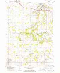 1978 Portland South1979 Print · USGSThe Grand River valley in the late seventies reveals a landscape of river-town growth and rural persistence near the Ionia and Eaton county line. Researchers can locate family landmarks like Knox Sch, East Sebewa Cem, and the old Grange Hall.
 - 1978 Map of Woodbury, 1979 Print
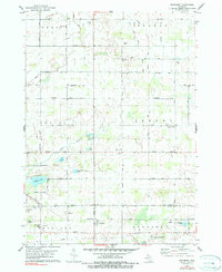 1978 Woodbury1979 Print · USGSThe rural intersection of Ionia, Barry, and Eaton counties comes into focus during the late seventies, showing a landscape of family farms and glacial lakes. Trace local roots through sites like Woodbury, Alderman Cem, and the Lakewood High Sch.2 unique versions available
 - 1980 Map of Hoytville, 1981 Print
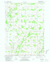 1980 Hoytville1981 Print · USGSThe rural townships of Eaton County are captured here in the late 1970s, showcasing a landscape of family-named cemeteries and quiet crossroads. Researchers can trace local heritage through sites like Sunfield Cem, the Church of the Brethren, and the settlement of Hoytville.
 - 1981 Map of Saubee Lake
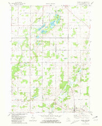 1981 Saubee Lake1981 Print · USGSThe village of Vermontville and the surrounding wetlands of Eaton and Barry Counties are shown here during the early eighties. Genealogists and local historians can locate several rural burial grounds like Patterson Cem and Hosmer Cem or trace the Penn Central rail corridor.
 - 1983 Map of Lansing, 1984 Print
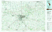 1983 Lansing1984 Print · USGSThe Lansing area and its surrounding river valleys are captured here in the early eighties. Genealogists and historians can trace the rail corridors of the Conrail or locate local landmarks like St Johns Ch and Greenwood Cem.
 - 1984 Map of Grand Rapids
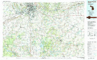 1984 Grand Rapids1984 Print · USGSWest Michigan in the mid-eighties shows a thriving metropolitan core surrounded by expansive state recreation areas and river valleys. Genealogists and local historians can trace developments around Grand Rapids, institutional landmarks like Grand Rapids Bible College, and the quiet reaches of Jordan Lake.
 - 2011 Map of Woodbury, 2011 Print
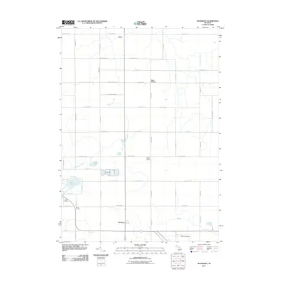 2011 Woodbury2011 Print · USGSIonia and Eaton counties are shown here as they appeared in the early twenty-first century, characterized by rural settlements and family cemeteries. Trace local genealogy at Alderman Cemetery or follow the path of the Little Thornapple River near Woodbury.
 - 2011 Map of Saubee Lake, 2011 Print
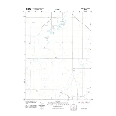 2011 Saubee Lake2011 Print · USGSThe rural countryside around Vermontville is shown here in the early twenty-first century, featuring an intricate network of glacial lakes and family burial grounds. Researchers can trace ancestral roots at Hosmer Cemetery and Patterson Cemetery or locate landmarks like Law Field Airport.
 - 2011 Map of Portland South, 2011 Print
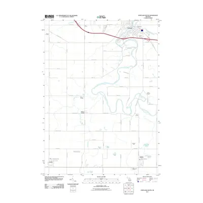 2011 Portland South2011 Print · USGSIonia County at the turn of the decade is defined by the winding Grand River and a network of traditional farming communities. Researchers can trace family history through several local burial grounds, including Danby Cemetery and East Sebewa Cemetery, while locating rural airstrips like Hiram Cure Airport.
 - 2011 Map of Hoytville, 2011 Print
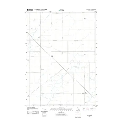 2011 Hoytville2011 Print · USGSRoxand Township is shown in this early twenty-first-century survey as a well-ordered landscape of traditional Michigan farmsteads and rural junctions. Researchers can locate several historic burial grounds like Sunfield and Welch, or trace the winding course of the Thornapple River through Gresham and Shaytown.
 - 2014 Map of Portland South, 2014 Print
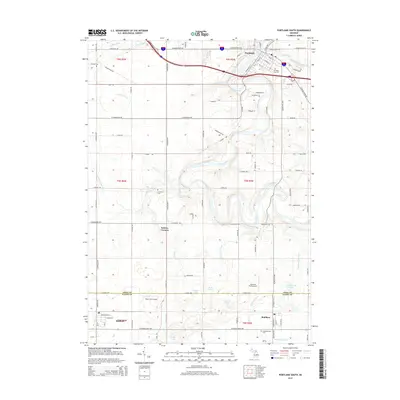 2014 Portland South2014 Print · USGSIonia and Eaton counties meet in this 2014 landscape, where the confluence of the Grand and Looking Glass rivers shapes the local terrain. Genealogists and historians can trace family locations near Sebewa Corners or locate graves in Mathew Cem and Danby Cem.
 - 2014 Map of Saubee Lake, 2014 Print
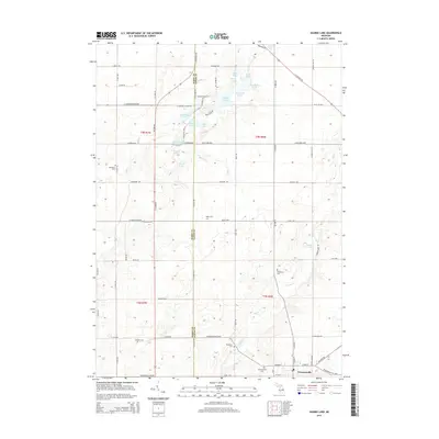 2014 Saubee Lake2014 Print · USGSVermontville and its surrounding farmsteads are shown in the early 2010s as they span the border of Barry and Eaton counties. Genealogists can trace family plots across several rural burial grounds, including Hosmer Cem, Patterson Cem, and Woodlawn Cem.
 - 2014 Map of Woodbury, 2014 Print
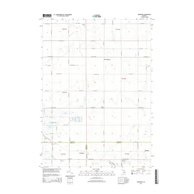 2014 Woodbury2014 Print · USGSThe rural borderlands of Ionia, Barry, and Eaton counties are documented here in the early twenty-first century. Researchers can trace family history through several local burial sites like Lakeside Cem and Meyers Cem or explore the area around Tupper Lake.
 - 2014 Map of Hoytville, 2014 Print
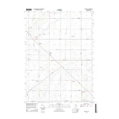 2014 Hoytville2014 Print · USGSEaton County's rural township structure is preserved in this 2014 survey, where small crossroads settlements and family burial grounds dot the landscape. Researchers can trace the courses of the Thornapple River or locate historic sites like Gresham Cem and Little Venice.
 - 2017 Map of Hoytville, 2017 Print
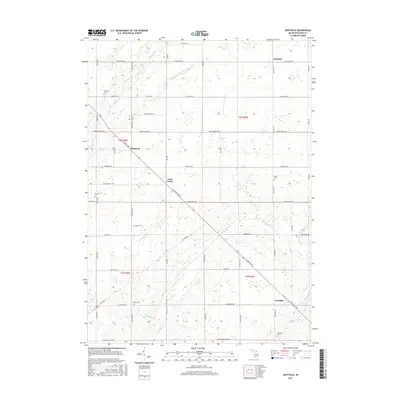 2017 Hoytville2017 Print · USGSMid-Michigan's agricultural heartland is documented here in the late twenty-teens, showing a landscape of dispersed farmsteads and quiet country crossroads. Researchers can locate numerous family burial sites like Moyer Cem or trace the winding course of the Thornapple River and Little Venice.
Showing maps 1-25 of 36
Top cities near Sunfield Township
- Ionia historical maps
- Charlotte historical maps
- Portland historical maps
- Lake Odessa historical maps
- Chester historical maps
- Kalamo historical maps
See more
Top neighborhoods of Sunfield Township
Frequently asked questions
- What are the different types of historical maps available for Sunfield Township?
- What is the oldest map of Sunfield Township?
- Where can I purchase historical maps of Sunfield Township for my home or office?
- Where can I download high-res historical maps of Sunfield Township?
- Are there historical topographic maps available for Sunfield Township?
- Is there historical aerial imagery available for Sunfield Township?
- Where are historical maps of Sunfield Township sourced from?