Old Maps of Friendship Township, Michigan for Academic Research
Study the evolution of Friendship Township with 35 high-resolution historic maps. Whether you're teaching, researching, or modeling changes in land use, these maps provide essential visual documentation of urban, environmental, and geographic change.
- Analyze long-term change: Track patterns in development, transportation, and natural features.
- Ideal for environmental or urban studies: Support academic projects with primary historical map data.
- Use in the classroom or lab: Educators and researchers rely on these maps to bring historical context to life.
These maps are a powerful tool for teaching, research, and visualizing how Friendship Township has changed over the decades.
Friendship Township, MI maps
(35)- 1955 Map of Cheboygan, 1964 Print
 1955 Cheboygan1964 Print · USGSNorthern Michigan in the mid-fifties is a landscape of dense timber and deep water, showing the region just as the road network began to modernize. Trace family roots in lakeside towns like St Ignace and Petoskey, or follow the historic tracks of the Pennsylvania RR and New York Central RR.5 unique versions available
 - 1958 Map of Cheboygan
 1958 Cheboygan1958 Print · USGSThe tip of Michigan's Lower Peninsula and the surrounding Great Lakes islands are shown here in the late fifties, during the peak of the rail-and-ferry era. Trace the paths of the Pennsylvania RR and explore lakeside settlements like St James, Petoskey, and Indian River.2 unique versions available
 - 1958 Map of Cross Village, 1959 Print
 1958 Cross Village1959 Print · USGSThe tip of Michigan's Lower Peninsula in the late fifties remains a landscape of quiet coastal hamlets and dense state forests. Genealogists can trace family names at the Holy Cross Cem or locate rural landmarks like the Sogonosh Valley Sch and Middle Village.2 unique versions available
 - 1958 Map of Pellston, 1959 Print
 1958 Pellston1959 Print · USGSEmmet County in the late fifties shows a landscape of timber, small farms, and rail towns before the modern highway era. Trace the Pennsylvania rail line through Pellston or locate family sites like St Nicholas Ch and Canby Sch.2 unique versions available
 - 1958 Map of Bayshore, 1959 Print
 1958 Bayshore1959 Print · USGSCoastal life in the late fifties centered on the waters of Little Traverse Bay and Lake Charlevoix. Researchers can trace old family sites at Undine Cem, visit the Greensky Ch, or locate the Drive-in Theater and Quarry near Bayshore.2 unique versions available
 - 1958 Map of Petoskey, 1959 Print
 1958 Petoskey1959 Print · USGSCoastal Emmet County in the late fifties is captured here through its growing resort towns and inland forest tracts. Researchers can trace the legacy of local families through landmarks like Patons Corner, Morford Sch, and Curtis Cem.4 unique versions available
 - 1975 Map of Petoskey NW, 1976 Print
 1975 Petoskey NW1976 Print · USGSLittle Traverse Bay and its coastal settlements are captured from the air in the mid-1970s, showing the intersection of resort life and rural land use. Trace the established shorelines of Harbor Springs, Petoskey, and the storied grounds of Bay View.
 - 1982 Map of Petoskey
 1982 Petoskey1982 Print · USGSNorthern Michigan in the early eighties shows a landscape of deep timber and vast inland lakes. Genealogists and historians can trace the rail corridors of the Michigan Central and Detroit and Mackinac between Petoskey, Gaylord, and Wolverine.
 - 1982 Map of Good Hart, 1983 Print
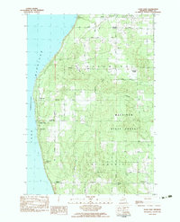 1982 Good Hart1983 Print · USGSThe Emmet County shoreline comes alive in this early 1980s survey, showing the rural character of the lakeside bluffs. Trace family connections at Island View Cem and find local landmarks like Good Hart and the Good Hart Middle Ch.
 - 1982 Map of Larks Lake, 1983 Print
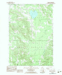 1982 Larks Lake1983 Print · USGSEmmet County’s northern woods and wetlands are captured here in the early eighties, showing the intersection of state forest lands and rural townships. Genealogists and local historians can locate several family burial sites like Starr Cem and Greenwood Cem, alongside landmarks like Camp Ralston and the Townhall in Pleasant View.
 - 1983 Map of Forest Beach, 1984 Print
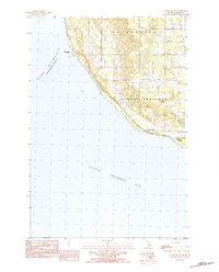 1983 Forest Beach1984 Print · USGSThe Emmet County shoreline comes into focus during the early eighties, showing the transition from rural townships to lakeside communities. Genealogists and local historians can trace family lands along Hughston Road, locate Lakeview Cem, and explore the settled coast at Forest Beach.2 unique versions available
 - 1983 Map of Harbor Springs, 1984 Print
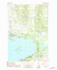 1983 Harbor Springs1984 Print · USGSLittle Traverse Bay and its coastal resorts are frozen in time just before the mid-eighties, showing the growth of Harbor Springs and its neighboring ski hills. Researchers can locate local landmarks like Lakeview Cem, the Shay Sch, and the winding Northern Hiawatha Trail.
 - 1984 Map of Beaver Island, 1985 Print
 1984 Beaver Island1985 Print · USGSBeaver Island and the surrounding archipelago are shown in the mid-eighties before modern developments changed these remote coastal landscapes. Researchers can trace the layout of island settlements like St James or mainland hamlets such as Good Hart and Middle Village.2 unique versions available
 - 1984 Map of Cheboygan, 1985 Print
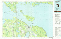 1984 Cheboygan1985 Print · USGSThe Straits of Mackinac and the northern tip of Michigan's Lower Peninsula are shown here in the mid-1980s. Local researchers can trace family landmarks and rural crossroads from St Ignace to Cheboygan, including Riggsville and Levering.
 - 1984 Map of Charlevoix, 1985 Print
 1984 Charlevoix1985 Print · USGSNorthern Michigan’s coastal peninsulas and deep inland lakes are captured here in the mid-eighties, showing the region's unique maritime and rail connectivity. Researchers can trace historic family-named landmarks and infrastructure like Woolsey Memorial Airport, Barnard Ch, and the Chesapeake and Ohio RR.2 unique versions available
 - 2011 Map of Larks Lake, 2011 Print
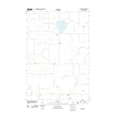 2011 Larks Lake2011 Print · USGSEmmet County's rural interior is documented here during the early 21st century, centered on the waters of Larks Lake. Genealogists and local historians can trace legacy sites like Starr Cemetery, Marsh Corner, and the West Branch Maple River.
 - 2011 Map of Harbor Springs, 2011 Print
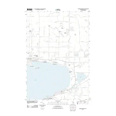 2011 Harbor Springs2011 Print · USGSLittle Traverse Bay and its historic resort communities are meticulously documented in the early twenty-first century. Genealogists and local historians can trace coastal developments from Harbor Springs to Bay View, and locate landmarks like the Harbor Point Lighthouse and Lakeview Cemetery.
 - 2011 Map of Good Hart, 2011 Print
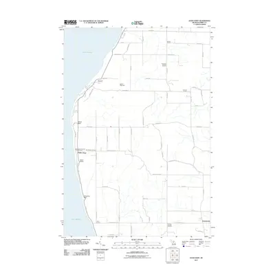 2011 Good Hart2011 Print · USGSThe Emmet County shoreline comes alive in this study of the bluffs and rural crossroads north of Little Traverse Bay. Genealogists can trace family names at Readmond Township Cemetery or explore the settlements of Good Hart and Middle Village.
 - 2011 Map of Forest Beach, 2011 Print
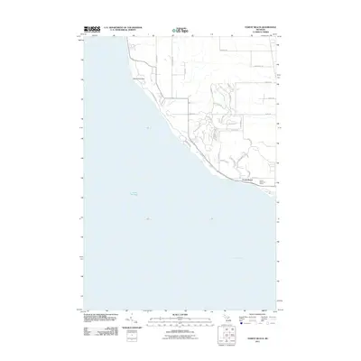 2011 Forest Beach2011 Print · USGSThe Emmet County shoreline near Harbor Springs is captured here just after the turn of the century as coastal neighborhoods expanded. Trace the residential growth of Forest Beach or follow the coast from Sevenmile Point past the Harbor Point Golf Course.
 - 2014 Map of Good Hart, 2014 Print
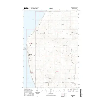 2014 Good Hart2014 Print · USGSAlong the bluffs of Lake Michigan, this era finds the lakeside settlements of Good Hart and Middle Village connected by the winding N Lake Shore Dr. Genealogists can locate several burial grounds, including Saint Ignatius Catholic Chuch Cem and Island View Cem.
 - 2014 Map of Forest Beach, 2014 Print
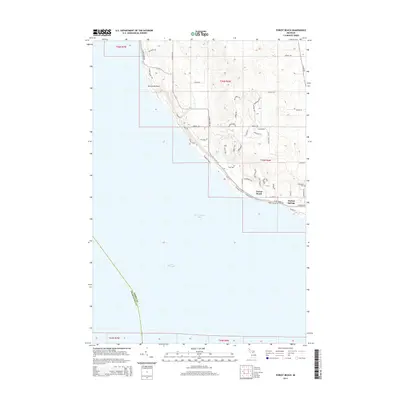 2014 Forest Beach2014 Print · USGSThe northern shores of Little Traverse Bay are captured here in the early twenty-first century, showing the development around Harbor Springs. Researchers can trace the layout of waterfront communities like Forest Beach or locate local landmarks such as Lakeview Cem.
 - 2014 Map of Larks Lake, 2014 Print
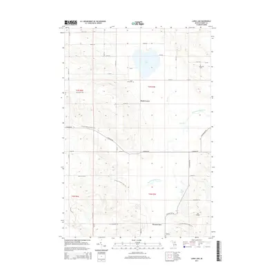 2014 Larks Lake2014 Print · USGSEmmet County's rural highlands and glacial lakes are captured here in the early twenty-first century. Genealogists and local historians can locate family plots at Greenwood Cem and Starr Cem or trace the N Country National Scenic Trail through Pleasant View.
 - 2014 Map of Harbor Springs, 2014 Print
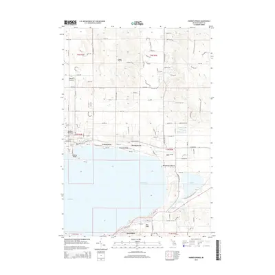 2014 Harbor Springs2014 Print · USGSLittle Traverse Bay anchor this early twenty-first-century look at the Emmet County coast as it balances historic resort charm with modern development. Researchers can trace the layouts of Harbor Springs, Bay View, and Petoskey or locate the N Country National Scenic Trail.
 - 2017 Map of Forest Beach, 2017 Print
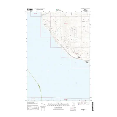 2017 Forest Beach2017 Print · USGSThe Emmet County coast comes into focus during the late twenty-teens, showing the detailed development between the shoreline and the interior hills. Researchers can trace property access and coastal landmarks from Sevenmile Point down to Harbor Springs and Forest Beach.
 - 2017 Map of Harbor Springs, 2017 Print
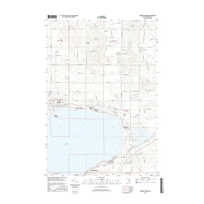 2017 Harbor Springs2017 Print · USGSLittle Traverse Bay serves as the centerpiece for this 2010s survey of the northern Michigan coast. Researchers can trace the layout of waterfront communities like Wequetonsing and Bay View or locate family plots at Lakeview Cem.
Showing maps 1-25 of 35
Top cities near Friendship Township
- Petoskey historical maps
- Charlevoix historical maps
- Harbor Springs historical maps
- Bliss historical maps
- Cross Village historical maps
Top neighborhoods of Friendship Township
Frequently asked questions
- What are the different types of historical maps available for Friendship Township?
- What is the oldest map of Friendship Township?
- Where can I purchase historical maps of Friendship Township for my home or office?
- Where can I download high-res historical maps of Friendship Township?
- Are there historical topographic maps available for Friendship Township?
- Is there historical aerial imagery available for Friendship Township?
- Where are historical maps of Friendship Township sourced from?