Old Maps of Vassar Park, Davison Township for Metal Detecting
Plan your next treasure hunt with 18 historic maps of Vassar Park. Find old homesites, ghost towns, trails, and gathering spots that may be lost to time — perfect for identifying promising metal detecting locations.
- Locate forgotten sites: Uncover places like long-lost settlements, abandoned rail lines, or gathering spots.
- Plan better hunts: Use map overlays combined with LiDAR or satellite views to narrow in on historically rich areas.
- Made for detectorists: Thousands of hobbyists use these maps to discover relics, coins, and hidden history.
Use these historic maps to boost your research and find new opportunities beneath the surface of Vassar Park.
Vassar Park, Davison Township maps
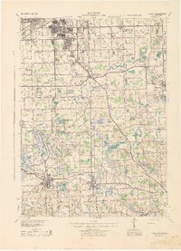
(18)- 1920 Map of Flint
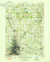 1920 Flint1920 Print · USGSCovers Vassar Park, including Flint, Burton, and other nearby areas2 unique versions available
 - 1920 Map of Holly, 1964 Print
 1920 Holly1964 Print · USGSCovers Vassar Park, including Flint, Burton, and other nearby areas
 - 1922 Map of Holly
 1922 Holly1922 Print · USGSCovers Vassar Park, including Flint, Burton, and other nearby areas3 unique versions available
 - 1922 Map of Flint
 1922 Flint1922 Print · USGSCovers Vassar Park, including Flint, Burton, and other nearby areas3 unique versions available
 - 1943 Map of Holly
 1943 Holly1943 Print · USGSCovers Vassar Park, including Flint, Burton, and other nearby areas
 - 1943 Map of Flint, 1944 Print
 1943 Flint1944 Print · USGSCovers Vassar Park, including Flint, Burton, and other nearby areas
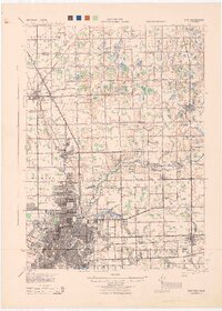
 - 1954 Map of Detroit
 1954 Detroit1954 Print · USGSCovers Vassar Park, including Detroit, Windsor, and other nearby areas
 - 1954 Map of Flint, 1968 Print
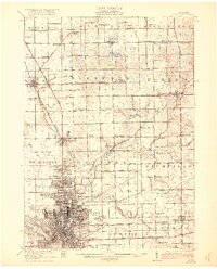
 1954 Flint1968 Print · USGSCovers Vassar Park, including Flint, Sarnia, and other nearby areas4 unique versions available
 - 1958 Map of Flint
 1958 Flint1958 Print · USGSCovers Vassar Park, including Flint, Sarnia, and other nearby areas2 unique versions available
 - 1961 Map of Detroit, 1973 Print
 1961 Detroit1973 Print · USGSCovers Vassar Park, including Detroit, Windsor, and other nearby areas2 unique versions available
 - 1965 Map of Detroit
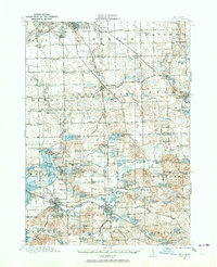
 1965 Detroit1965 Print · USGSCovers Vassar Park, including Detroit, Windsor, and other nearby areas
 - 1969 Map of Davison, 1971 Print
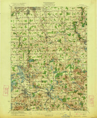
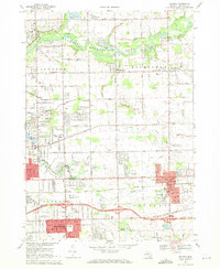 1969 Davison1971 Print · USGSCovers Vassar Park, including Flint, Burton, and other nearby areas2 unique versions available
 - 1969 Map of Goodrich, 1971 Print
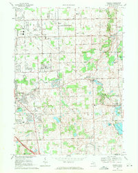 1969 Goodrich1971 Print · USGSCovers Vassar Park, including Burton, Grand Blanc, and other nearby areas2 unique versions available
 - 1984 Map of Flint, 1985 Print
 1984 Flint1985 Print · USGSCovers Vassar Park, including Flint, Saginaw, and other nearby areas
 - 1985 Map of Pontiac
 1985 Pontiac1985 Print · USGSCovers Vassar Park, including Sterling Heights, Warren, and other nearby areas2 unique versions available
 - 1990 Map of Flint, 1991 Print
 1990 Flint1991 Print · USGSCovers Vassar Park, including Flint, Saginaw, and other nearby areas
 - 2023 Map of Davison, 2023 Print
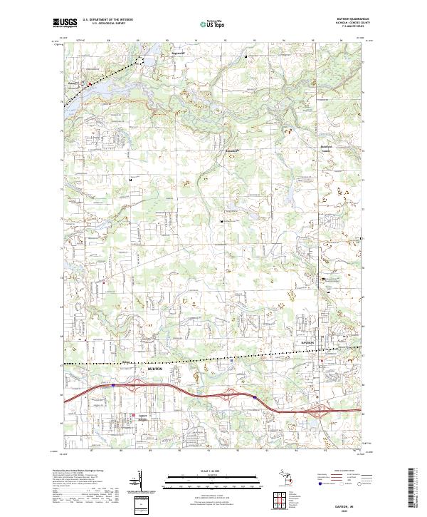 2023 Davison2023 Print · USGSCovers Vassar Park, including Flint, Burton, and other nearby areas
 - 2023 Map of Goodrich, 2023 Print
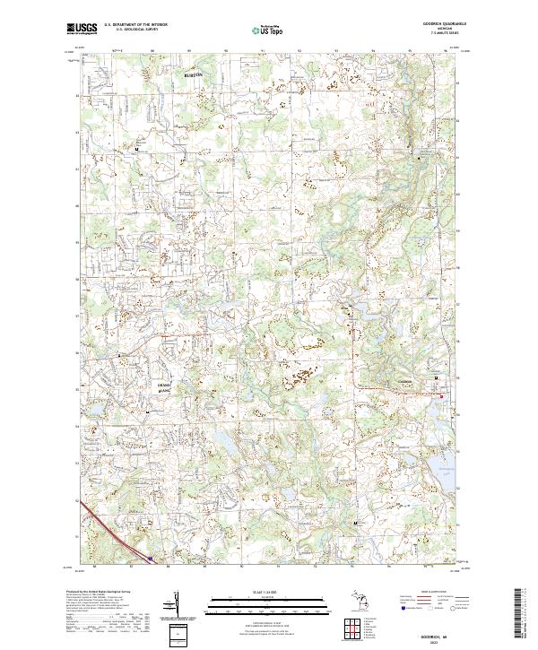 2023 Goodrich2023 Print · USGSCovers Vassar Park, including Burton, Grand Blanc, and other nearby areas
End of results
Showing maps 1-18 of 18
Frequently asked questions
- What are the different types of historical maps available for Vassar Park?
- What is the oldest map of Vassar Park?
- Where can I purchase historical maps of Vassar Park for my home or office?
- Where can I download high-res historical maps of Vassar Park?
- Are there historical topographic maps available for Vassar Park?
- Is there historical aerial imagery available for Vassar Park?
- Where are historical maps of Vassar Park sourced from?