Old Maps of Traverse City, Michigan for Metal Detecting
Plan your next treasure hunt with 30 historic maps of Traverse City. Find old homesites, ghost towns, trails, and gathering spots that may be lost to time — perfect for identifying promising metal detecting locations.
- Locate forgotten sites: Uncover places like long-lost settlements, abandoned rail lines, or gathering spots.
- Plan better hunts: Use map overlays combined with LiDAR or satellite views to narrow in on historically rich areas.
- Made for detectorists: Thousands of hobbyists use these maps to discover relics, coins, and hidden history.
Use these historic maps to boost your research and find new opportunities beneath the surface of Traverse City.
Traverse City, MI maps
(30)- 1954 Map of Traverse City, 1965 Print
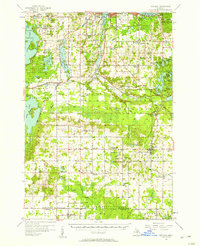
 1954 Traverse City1965 Print · USGSNorthern Michigan’s vast lakeshores and timberlands are captured here in the mid-fifties, showing the region before the modern interstate era. Genealogists and researchers can trace rail connections like the Detroit and Mackinac RR or find old communities such as Suttons Bay, Elk Rapids, and Prudenville.4 unique versions available
 - 1956 Map of Kingsley, 1958 Print
 1956 Kingsley1958 Print · USGSGrand Traverse County at mid-century shows a landscape of developing recreation and fading rural school districts near the shores of the bay. Genealogists and historians can trace the transition from rail-town life in Kingsley to remote forest outposts like Summit City and Buckley.2 unique versions available
 - 1957 Map of Traverse City, 1958 Print
 1957 Traverse City1958 Print · USGSThe Grand Traverse region flourished in the mid-fifties as a center for cherry orchards and lakeside commerce. Trace ancestral roots at the Maple Grove Cem or locate historic landmarks like Fountain Point and the Clinck Park Zoo.2 unique versions available
 - 1958 Map of Traverse City
 1958 Traverse City1958 Print · USGSNorthern Lower Michigan was a landscape of vast state forests and burgeoning lakeside retreats in the late fifties. Genealogists and historians can trace the rail corridors of the Ann Arbor RR and find established settlements from Elk Rapids to Houghton Lake.2 unique versions available
 - 1983 Map of Traverse City SE, 1984 Print
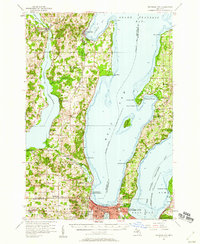
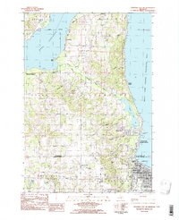
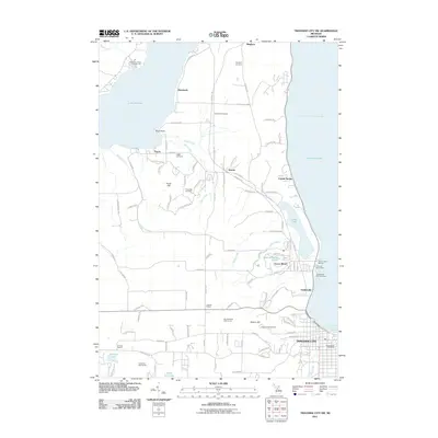
 1983 Traverse City SE1984 Print · USGSTraverse City and the surrounding peninsula are documented here in the early eighties as the region balanced its maritime heritage with modern growth. Genealogists and local historians can trace legacy sites like St Josephs Cem, Oakwood Cemetery, and local landmarks such as Vog Sch and the Great Lakes Maritime Academy.
 - 1983 Map of Traverse City, 1984 Print
 1983 Traverse City1984 Print · USGSTraverse City and the surrounding bay country are captured in the early eighties as the region balanced its timber heritage with growing conservation. Genealogists and local historians can trace the rail lines of the Ann Arbor RR through settlements like Kingsley and Fife Lake.2 unique versions available
 - 1983 Map of Grawn, 1984 Print
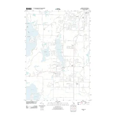
 1983 Grawn1984 Print · USGSGrand Traverse County in the early eighties reveals a landscape of deep glacial lakes and forest tracts near the edge of Traverse City. Trace the Michigan Northern rail line through Grawn, locate family plots at Maple Grove Cem, or find the secluded Carmelite Monastery.
 - 1983 Map of Traverse City SW, 1984 Print
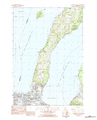
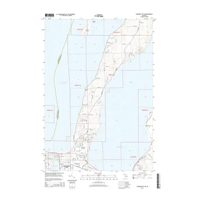
 1983 Traverse City SW1984 Print · USGSThe southern Leelanau Peninsula comes alive in the early 1980s, documenting the corridor between West Arm Grand Traverse Bay and the inland waters. Genealogists and local researchers can trace legacy family sites at Heimforth Cem and find vanished rail history along the Leelanau Transit Company RR Grade.2 unique versions available
 - 1983 Map of Mayfield, 1984 Print
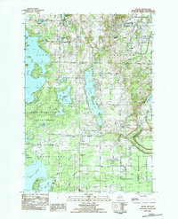
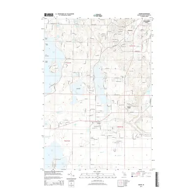
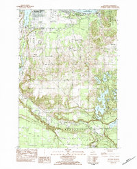 1983 Mayfield1984 Print · USGSGrand Traverse County enters the 1980s as a hub of aviation and lakefront recreation. Researchers can trace the development of Traverse City and find rural landmarks like Mayfield, Blair Townhall, and the Vocational Sch.2 unique versions available
 - 1989 Map of Traverse City, 1990 Print
 1989 Traverse City1990 Print · USGSNorthern Michigan’s lake-country and forest lands are captured in the late eighties as seasonal tourism and timber hubs expanded. Genealogists and historians can trace the routes of the Ann Arbor RR, the boundaries of Camp Grayling, and settlements like Elk Rapids and Manton.
 - 2011 Map of Traverse City SE, 2011 Print
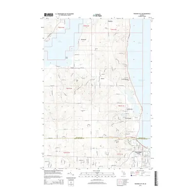
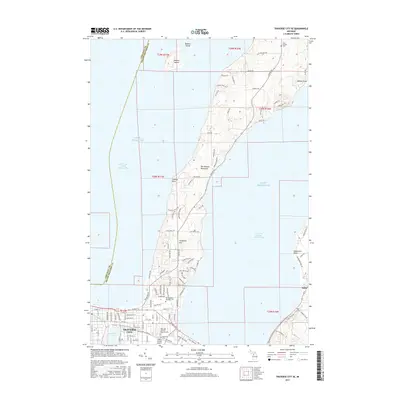
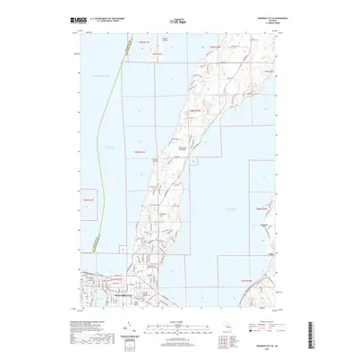
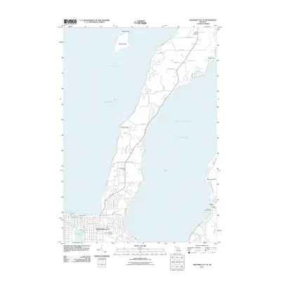 2011 Traverse City SE2011 Print · USGSCovers Traverse City, including East Bay Township, Peninsula Township, and other nearby areas
 - 2011 Map of Mayfield, 2011 Print
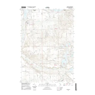
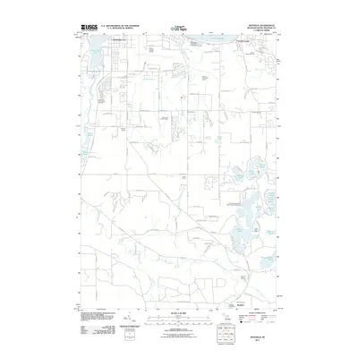 2011 Mayfield2011 Print · USGSCovers Traverse City, including Garfield Township, East Bay Charter Township, and other nearby areas
 - 2011 Map of Traverse City SW, 2011 Print
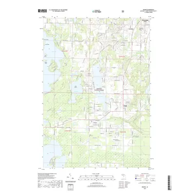
 2011 Traverse City SW2011 Print · USGSCovers Traverse City, including Garfield Township, Long Lake Township, and other nearby areas
 - 2011 Map of Grawn, 2011 Print
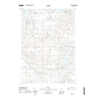
 2011 Grawn2011 Print · USGSCovers Traverse City, including Garfield Charter Township, Garfield Township, and other nearby areas
 - 2014 Map of Grawn, 2014 Print
 2014 Grawn2014 Print · USGSCovers Traverse City, including Garfield Charter Township, Garfield Township, and other nearby areas
 - 2014 Map of Traverse City SE, 2014 Print
 2014 Traverse City SE2014 Print · USGSCovers Traverse City, including East Bay Township, Peninsula Township, and other nearby areas
 - 2014 Map of Mayfield, 2014 Print
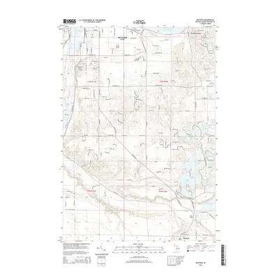 2014 Mayfield2014 Print · USGSCovers Traverse City, including Garfield Township, East Bay Charter Township, and other nearby areas
 - 2014 Map of Traverse City SW, 2014 Print
 2014 Traverse City SW2014 Print · USGSCovers Traverse City, including Garfield Township, Long Lake Township, and other nearby areas
 - 2017 Map of Traverse City SW, 2017 Print
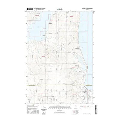 2017 Traverse City SW2017 Print · USGSCovers Traverse City, including Garfield Township, Long Lake Township, and other nearby areas
 - 2017 Map of Grawn, 2017 Print
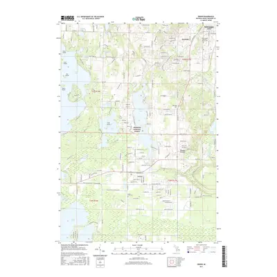 2017 Grawn2017 Print · USGSCovers Traverse City, including Garfield Charter Township, Garfield Township, and other nearby areas
 - 2017 Map of Traverse City SE, 2017 Print
 2017 Traverse City SE2017 Print · USGSCovers Traverse City, including East Bay Township, Peninsula Township, and other nearby areas
 - 2017 Map of Mayfield, 2017 Print
 2017 Mayfield2017 Print · USGSCovers Traverse City, including Garfield Township, East Bay Charter Township, and other nearby areas
 - 2019 Map of Grawn, 2019 Print
 2019 Grawn2019 Print · USGSCovers Traverse City, including Garfield Charter Township, Garfield Township, and other nearby areas
 - 2019 Map of Mayfield, 2019 Print
 2019 Mayfield2019 Print · USGSCovers Traverse City, including Garfield Township, East Bay Charter Township, and other nearby areas
 - 2019 Map of Traverse City SE, 2019 Print
 2019 Traverse City SE2019 Print · USGSCovers Traverse City, including East Bay Township, Peninsula Township, and other nearby areas
Showing maps 1-25 of 30
Top cities near Traverse City
- Garfield Township historical maps
- Garfield Charter Township historical maps
- East Bay Township historical maps
- East Bay Charter Township historical maps
- Long Lake Charter Township historical maps
- Long Lake Township historical maps
See more
Top neighborhoods of Traverse City
- Fernwood historical maps
- Base of Old Mission historical maps
- Indian Woods historical maps
- Oak Park historical maps
- Triangle Neighborhood historical maps
- Boardman Neighborhood historical maps
See more
Frequently asked questions
- What are the different types of historical maps available for Traverse City?
- What is the oldest map of Traverse City?
- Where can I purchase historical maps of Traverse City for my home or office?
- Where can I download high-res historical maps of Traverse City?
- Are there historical topographic maps available for Traverse City?
- Is there historical aerial imagery available for Traverse City?
- Where are historical maps of Traverse City sourced from?