Old Maps of Ithaca, Michigan for Genealogy
Trace your family roots with 19 historic maps of Ithaca. These high-res maps reveal old neighborhoods, homesites, landmarks, and streets — helping you uncover where your ancestors lived and how the area evolved over time.
- Explore historic neighborhoods: Identify where your relatives may have lived in the 1800s or 1900s.
- Compare maps over time: Trace the changes in streets, buildings, and landmarks for multi-generational research.
- Perfect for genealogy & ancestry research: Used by family historians and researchers to map out lineage and migration.
These maps are an incredible resource for exploring your personal connection to Ithaca's past.
Ithaca, MI maps
(19)- 1935 Map of Alma, 1959 Print
 1935 Alma1959 Print · USGSGratiot County thrived as a rail-and-river hub in the mid-thirties, centered on the growing industrial and agricultural corridor between Alma and St Louis. Genealogists and historians can trace dozens of rural schoolhouses and family landmarks, from Jack Day Sch to the County Home near Ithaca.2 unique versions available
 - 1938 Map of Alma
 1938 Alma1938 Print · USGSThe Gratiot County landscape at the height of the New Deal era reveals a dense network of country schools and rail lines. Genealogists can trace family roots through numerous named sites like Jack Day Sch, Pine Grove Cem, and the County Home.2 unique versions available
 - 1954 Map of Midland, 1967 Print
 1954 Midland1967 Print · USGSMid-Michigan at the peak of the post-war era shows a landscape balancing industrial growth in Midland with the deep timberlands of the Manistee National Forest. Researchers can trace the legacy of the timber and rail era along the Pennsylvania RR or find family roots in river towns like Chesaning and Big Rapids.4 unique versions available
 - 1958 Map of Midland
 1958 Midland1958 Print · USGSCentral Michigan in the late fifties is captured here during a period of transition for its university towns and industrial hubs. Genealogists and researchers can trace family lines through old rail-stop towns like Breckenridge and Chesaning or locate property near the Muskegon River and Prairie Farm.
 - 1959 Map of Midland
 1959 Midland1959 Print · USGSMid-century Michigan comes alive in this survey of the central Lower Peninsula, from the streets of Grand Rapids to the Houghton Lake timberlands. Genealogists and rail fans can trace the Ann Arbor RR and Chesapeake and Ohio RR through towns like Big Rapids and Mount Pleasant.
 - 1966 Map of Midland
 1966 Midland1966 Print · USGSCentral Michigan in the mid-1960s shows a landscape of growing manufacturing hubs and active resource extraction. Genealogists and historians can trace the rail corridors of the Grand Trunk Western or locate family-named landmarks near Oil wells and the Muskegon River.
 - 1973 Map of Alma South, 1976 Print
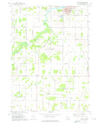 1973 Alma South1976 Print · USGSThe Gratiot County countryside south of Alma comes into focus in the early 1970s, showcasing a landscape of section-line roads and family-named landmarks. Genealogists can trace sites like Pritchard Cem, Newark Ch, and the Migrant Workers Camp.
 - 1973 Map of Ithaca, 1976 Print
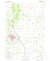 1973 Ithaca1976 Print · USGSIthaca and the surrounding townships of Emerson and Newark are shown in the early seventies as a mature agricultural hub. Researchers can locate family landmarks like Beebe Cem, Herron Sch, and the Dodge Sett amidst the local stream network.
 - 1985 Map of Alma
 1985 Alma1985 Print · USGSCentral Michigan in the mid-eighties shows a landscape of steady agricultural communities and vital rail corridors. Genealogists and local historians can trace family roots through the detailed grids of Alma, Ithaca, and Chesaning, or locate rural landmarks like Riverside Cem and Lumberjack Land Airport.2 unique versions available
 - 2011 Map of Ithaca, 2011 Print
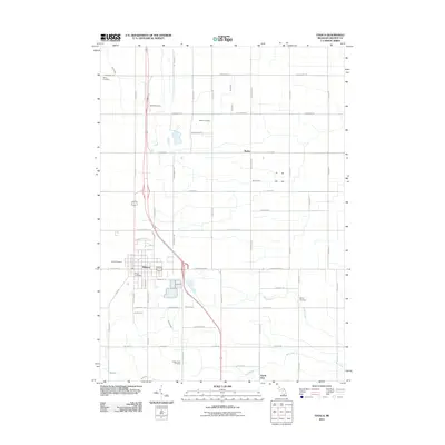 2011 Ithaca2011 Print · USGSIthaca and its surrounding Gratiot County farmsteads are shown here as they appeared in the early 21st century. Researchers can locate numerous family and community burial grounds, such as Staton Farm Cemetery, Brady Cemetery, and Beebe Cemetery.
 - 2011 Map of Alma South, 2011 Print
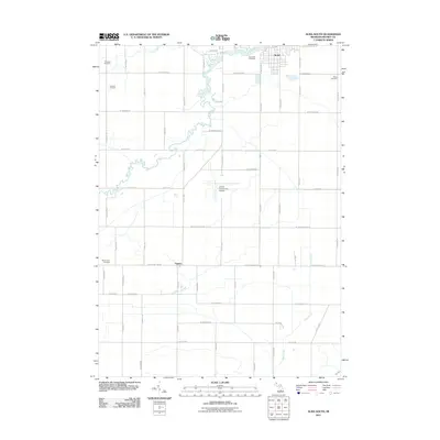 2011 Alma South2011 Print · USGSGratiot County at the turn of the decade shows a landscape where the southern outskirts of Alma give way to fertile farmland and local industry. Researchers can trace family history at Pritchard Cemetery or locate regional landmarks like the Sumner Oil Field and Gratiot Community Airport.
 - 2014 Map of Ithaca, 2014 Print
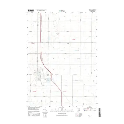 2014 Ithaca2014 Print · USGSIthaca and the surrounding Gratiot County farmlands are captured here in the early twenty-first century as the region maintains its deep agricultural roots. Genealogists and local historians can locate several historic burial sites, such as Staton Farm Cem, Beebe Cem, and Brady Cem.
 - 2014 Map of Alma South, 2014 Print
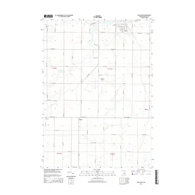 2014 Alma South2014 Print · USGSCentral Michigan's agricultural and river landscape is captured here during the early twenty-first century. Family history researchers can locate several rural burial grounds including Roosa Farm Cem and Riverside Cem, or trace the winding course of the Pine River.
 - 2017 Map of Alma South, 2017 Print
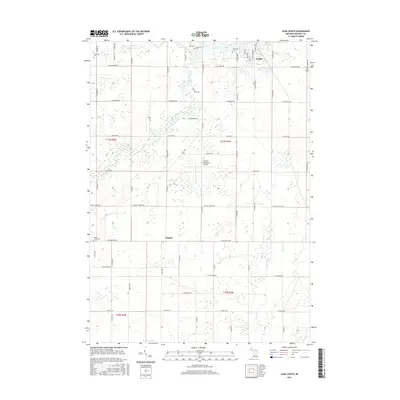 2017 Alma South2017 Print · USGSAlma and its southern rural surrounds are captured here in the late twenty-tens as the town meets the farmland of Gratiot County. Genealogists and local researchers can locate established sites like Riverside Cem, Roosa Farm Cem, and the settlement of Eugene.
 - 2017 Map of Ithaca, 2017 Print
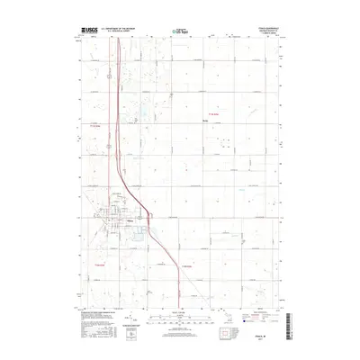 2017 Ithaca2017 Print · USGSIthaca and its surrounding townships are shown here in the late twenty-tens, revealing a landscape defined by central Michigan agriculture and a network of historic rural burial grounds. Genealogists can trace family footprints at the Staton Farm Cem, Pine Grove Cem, and Beebe Cem along the Bad River.
 - 2019 Map of Ithaca, 2019 Print
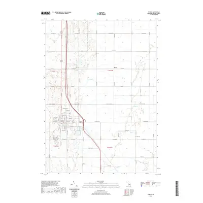 2019 Ithaca2019 Print · USGSIthaca serves as the administrative heart of Gratiot County in this recent survey of mid-Michigan's agricultural plains. Researchers can locate the Gratiot County Courthouse and trace several family-named burial sites including Staton Farm Cem and Pine Grove Cem.
 - 2019 Map of Alma South, 2019 Print
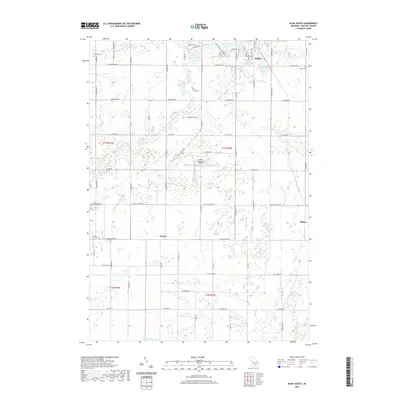 2019 Alma South2019 Print · USGSGratiot County in 2019 shows a landscape of steady agricultural roots and modern infrastructure south of Alma. Researchers can trace old family burial grounds like Roosa Farm Cem and Bailey Cem, or follow the winding course of the Pine River.
 - 2023 Map of Alma South, 2023 Print
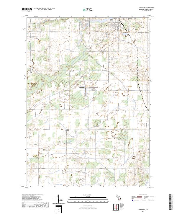 2023 Alma South2023 Print · USGSGratiot County is captured here in the early 2020s, showing the transition from the city of Alma into the productive farmland of the southern townships. Researchers can locate family landmarks like Roosa Farm Cem, Pritchard Cem, and the small community of Eugene.
 - 2023 Map of Ithaca, 2023 Print
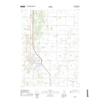 2023 Ithaca2023 Print · USGSIthaca serves as the hub of Gratiot County in this recent survey, showcasing the enduring grid of Michigan’s agricultural heartland. Researchers can locate the Gratiot County Courthouse and trace local family histories at Staton Farm Cem or Beebe Cem.
End of results
Showing maps 1-19 of 19
Top cities near Ithaca
- Alma historical maps
- Saint Louis historical maps
- Wheeler historical maps
- Coe historical maps
- Sumner historical maps
- Shepherd historical maps
See more
Frequently asked questions
- What are the different types of historical maps available for Ithaca?
- What is the oldest map of Ithaca?
- Where can I purchase historical maps of Ithaca for my home or office?
- Where can I download high-res historical maps of Ithaca?
- Are there historical topographic maps available for Ithaca?
- Is there historical aerial imagery available for Ithaca?
- Where are historical maps of Ithaca sourced from?