2020s Maps of Portage Township, Michigan
Explore 9 historic maps of Portage Township from the 2020s. These maps offer a rare glimpse into what life looked like during the 2020s — showing old roads, neighborhoods, homes, and landmarks that have changed or disappeared over time.
Whether you're researching your family's past, planning a metal detecting trip, or studying how Portage Township's landscape evolved across the 2020s, these high-resolution maps are a powerful tool for exploring the history of this region.
- Focus on a specific era: All maps on this page are from the 2020s, giving you a focused view of this time period.
- See what’s changed: Compare century-old streets, trails, and buildings to today's modern landscape using overlays and satellite layers.
- Research with precision: Use these maps for genealogy, historical research, land use analysis, or educational projects.
- View, download, or print: Maps are fully viewable online in high resolution, and can be downloaded or printed for your own records.
Start exploring Portage Township's history through authentic maps from the 2020s. This is your window into the past.
Portage Township, MI maps
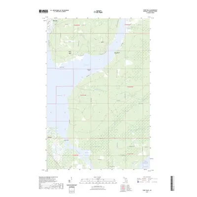
(9)- 2023 Map of Pelkie, 2023 Print
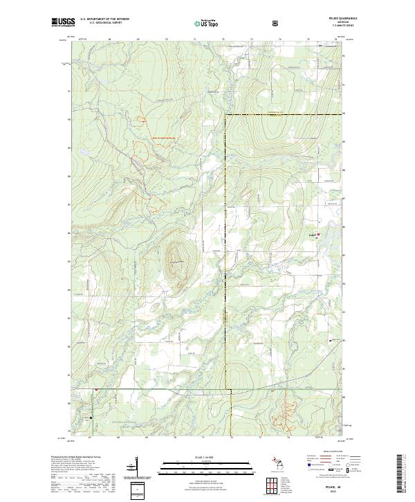 2023 Pelkie2023 Print · USGSThe Upper Peninsula settlements of Pelkie, Elo, and Alston are captured in the 2020s as they bridge their timber and farming roots. Researchers can trace family history at Pelkie Cem or explore the wooded slopes of Limestone Mtn.
 - 2023 Map of South Range, 2023 Print
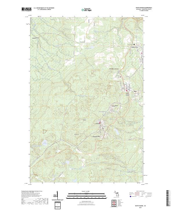 2023 South Range2023 Print · USGSModern-day Houghton County retains the deep footprints of the copper mining era in this contemporary survey. Genealogists and industrial historians can trace the foundations of Atlantic Mine, find family names in the Mountain View Cem, or follow the Bill Nicholls Route Trl.
 - 2023 Map of Pine Lake, 2023 Print
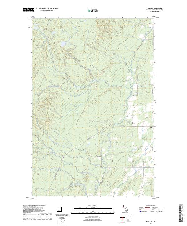 2023 Pine Lake2023 Print · USGSThe community of Tapiola is the focal point of this rural Houghton County survey. Researchers can trace local history through features like the Elo Cem and follow old industrial routes such as Challenge Mine Rd.
 - 2023 Map of Donken, 2023 Print
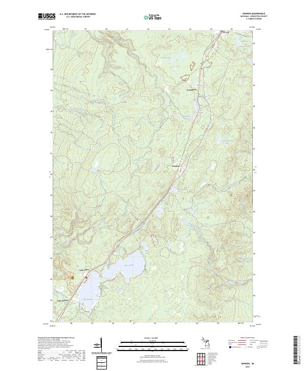 2023 Donken2023 Print · USGSHoughton County's Copper Country is revealed in this modern survey of the timber and lake lands around Donken. Researchers can trace the historic rail corridor along the Bill Nicholls Route Trl and locate family landmarks near Lake Gerald and Toivola.
 - 2023 Map of Chassell, 2023 Print
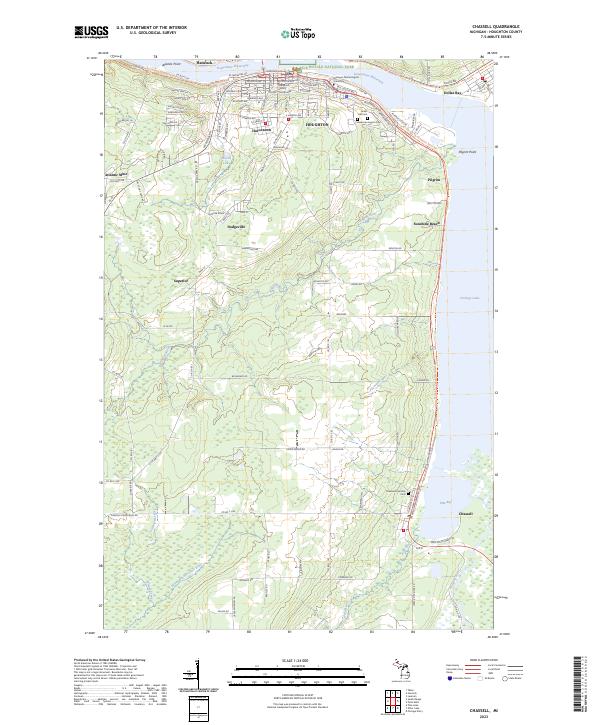 2023 Chassell2023 Print · USGSThe Copper Country is captured in this modern survey of the Houghton and Hancock area during the early 2020s. Researchers can locate family roots at Forest Hill Cem or trace the industrial history of Atlantic Mine and the shoreline at Dollar Bay.
 - 2023 Map of Nisula, 2023 Print
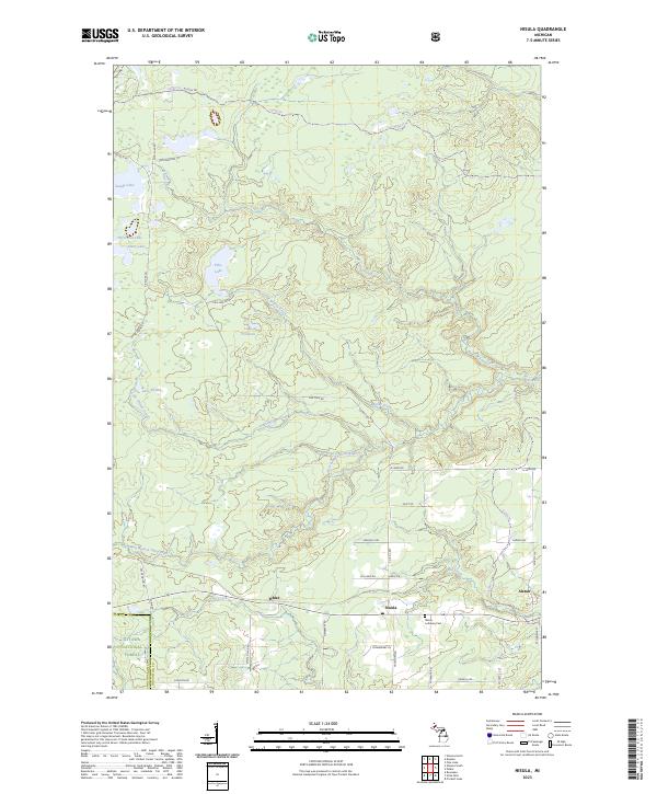 2023 Nisula2023 Print · USGSHoughton County’s forest lands and small settlements are detailed in this recent survey. Researchers can trace family sites near Nisula and Alston, or explore the drainages of the West Branch Otter River near the Nisula Lutheran Cem.
 - 2023 Map of Point Mills, 2023 Print
 2023 Point Mills2023 Print · USGSThe Keweenaw Peninsula's eastern shore comes to life in this contemporary study of the waterways connecting Portage Lake to Lake Superior. Trace local family roots near Dollar Bay, Point Mills, and the historic Jacobsville Cem.
 - 2023 Map of Otter Lake, 2023 Print
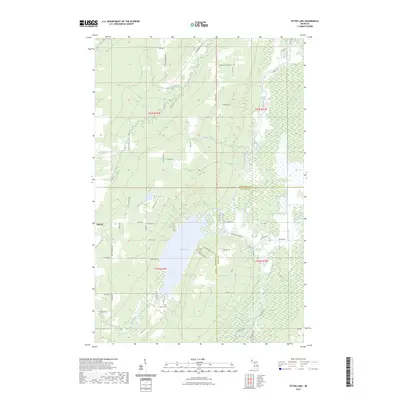 2023 Otter Lake2023 Print · USGSHoughton and Baraga counties are captured here in the early 2020s, showcasing a landscape of winding rivers and remote rural settlements. Researchers can locate family landmarks and burial sites like Kargi Cem and Askel Cem near the shores of Otter Lake.
 - 2023 Map of Bear Town, 2023 Print
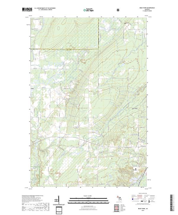 2023 Bear Town2023 Print · USGSThe Upper Peninsula landscape near Baraga is captured here in recent years, showing a region defined by the Ottawa National Forest and wild river corridors. Genealogists and local historians can locate Keweenaw Bay Cem and trace old family routes like Pelto Rd and Cadeau Rd through Pelkie and Bear Town.
End of results
Showing maps 1-9 of 9
Top cities near Portage Township
- Houghton historical maps
- Hancock historical maps
- L'Anse historical maps
- Chassell historical maps
- Baraga historical maps
- Lake Linden historical maps
See more
Top neighborhoods of Portage Township
- Hurontown historical maps
- Pilgrim historical maps
- Askel historical maps
- Dodgeville historical maps
- Superior historical maps
- Elo historical maps
See more
Frequently asked questions
- What are the different types of historical maps available for Portage Township?
- What is the oldest map of Portage Township?
- Where can I purchase historical maps of Portage Township for my home or office?
- Where can I download high-res historical maps of Portage Township?
- Are there historical topographic maps available for Portage Township?
- Is there historical aerial imagery available for Portage Township?
- Where are historical maps of Portage Township sourced from?