Old Maps of Paris Township, Michigan for Academic Research
Study the evolution of Paris Township with 27 high-resolution historic maps. Whether you're teaching, researching, or modeling changes in land use, these maps provide essential visual documentation of urban, environmental, and geographic change.
- Analyze long-term change: Track patterns in development, transportation, and natural features.
- Ideal for environmental or urban studies: Support academic projects with primary historical map data.
- Use in the classroom or lab: Educators and researchers rely on these maps to bring historical context to life.
These maps are a powerful tool for teaching, research, and visualizing how Paris Township has changed over the decades.
Paris Township, MI maps
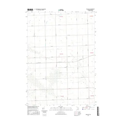
(27)- 1954 Map of Flint, 1968 Print
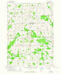
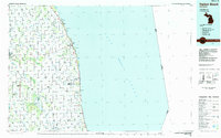
 1954 Flint1968 Print · USGSThe industrial corridor and fertile Thumb region of Michigan come alive in this mid-century survey. Genealogists and historians can trace the rail networks of the Grand Trunk, locate established settlements like Bad Axe and Sandusky, or explore the 1950s shoreline along Saginaw Bay.4 unique versions available
 - 1958 Map of Flint
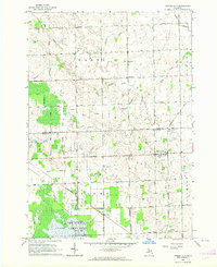
 1958 Flint1958 Print · USGSThe Michigan Thumb and the Saginaw Valley are captured here during the height of the post-war industrial era. Researchers can trace the complex rail networks of the Grand Trunk Western or locate mid-century landmarks like Lakeport State Park and the port at Bay City.2 unique versions available
 - 1963 Map of Ubly, 1964 Print
 1963 Ubly1964 Print · USGSHuron and Sanilac counties are captured here in the early sixties, showing a landscape defined by rail-side commerce and an extensive network of field drains. Genealogists and local historians can trace family-named landmarks such as Valley Cem, Bingham Sch, and the village of Tyre.
 - 1963 Map of Minden City, 1964 Print
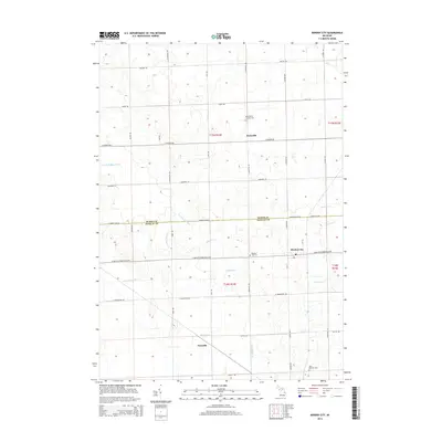
 1963 Minden City1964 Print · USGSMinden City and Parisville sit at the center of this 1960s agricultural survey on the Sanilac and Huron county line. Local researchers can trace family landmarks like St Patricks Ch, the Palms Sch, and the unique industrial Peat Bog near Peatville.
 - 1970 Map of Bad Axe SE, 1973 Print
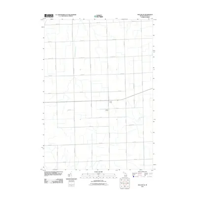
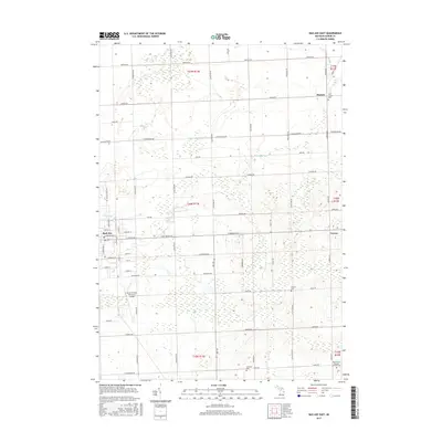
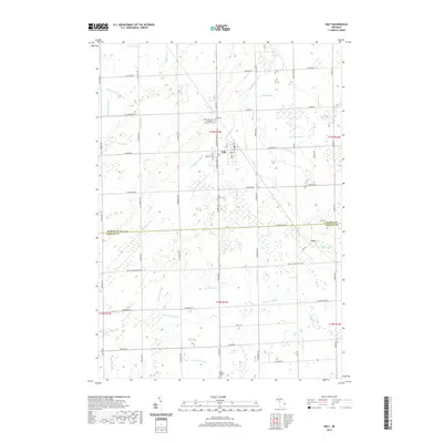
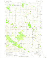 1970 Bad Axe SE1973 Print · USGSHuron County's rural landscape is captured here in the early seventies, showing a world of family farms and grid-iron roads. Genealogists can locate family landmarks and district schools like Jericho Sch, Eccles Sch, and the small settlement at Halfway Corners.2 unique versions available
 - 1970 Map of Bad Axe East, 1973 Print
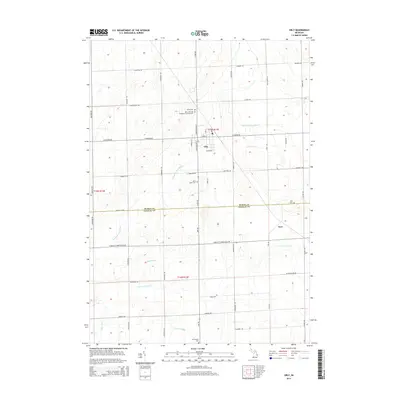
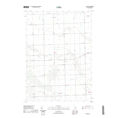
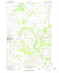 1970 Bad Axe East1973 Print · USGSHuron County's rural character is preserved in this early 1970s record of the area around the county seat. Researchers can locate family sites near Bad Axe, trace the Chesapeake and Ohio RR, or find ancestors at St Joseph Cem and Verona Cem.
 - 1984 Map of Harbor Beach, 1985 Print
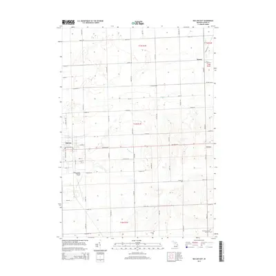
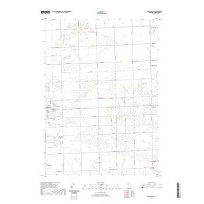
 1984 Harbor Beach1985 Print · USGSCoastal Huron and Sanilac counties come into focus in the mid-1980s, showcasing the region's transition from shoreline industry to interior agriculture. Genealogists can trace family names through landmarks like Hallway Corners and small communities such as Bad Axe, Parisville, and Minden City.2 unique versions available
 - 2011 Map of Ubly, 2011 Print
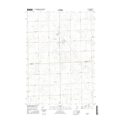
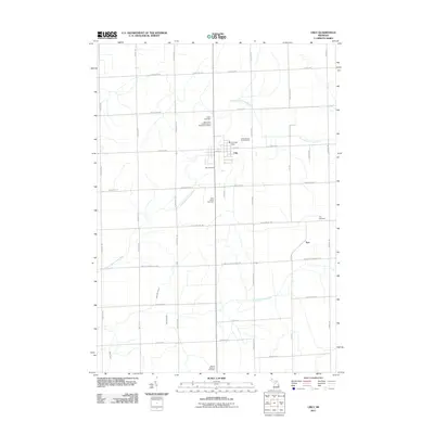 2011 Ubly2011 Print · USGSCovers Paris Township, including Ubly, Greenleaf Township, and other nearby areas
 - 2011 Map of Minden City, 2011 Print
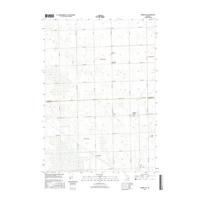
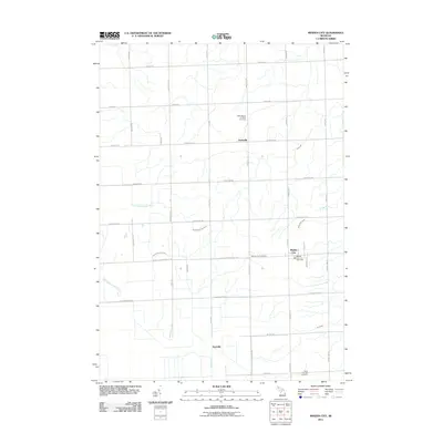 2011 Minden City2011 Print · USGSCovers Paris Township, including Minden City, Minden Township, and other nearby areas
 - 2011 Map of Bad Axe East, 2011 Print
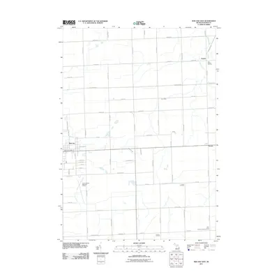 2011 Bad Axe East2011 Print · USGSCovers Paris Township, including Bad Axe, Verona, and other nearby areas
 - 2011 Map of Bad Axe SE, 2011 Print
 2011 Bad Axe SE2011 Print · USGSCovers Paris Township, including Bloomfield Township, Sigel Township, and other nearby areas
 - 2014 Map of Minden City, 2014 Print
 2014 Minden City2014 Print · USGSCovers Paris Township, including Minden City, Minden Township, and other nearby areas
 - 2014 Map of Ubly, 2014 Print
 2014 Ubly2014 Print · USGSCovers Paris Township, including Ubly, Greenleaf Township, and other nearby areas
 - 2014 Map of Bad Axe East, 2014 Print
 2014 Bad Axe East2014 Print · USGSCovers Paris Township, including Bad Axe, Verona, and other nearby areas
 - 2014 Map of Bad Axe SE, 2014 Print
 2014 Bad Axe SE2014 Print · USGSCovers Paris Township, including Bloomfield Township, Sigel Township, and other nearby areas
 - 2017 Map of Bad Axe SE, 2017 Print
 2017 Bad Axe SE2017 Print · USGSCovers Paris Township, including Bloomfield Township, Sigel Township, and other nearby areas
 - 2017 Map of Ubly, 2017 Print
 2017 Ubly2017 Print · USGSCovers Paris Township, including Ubly, Greenleaf Township, and other nearby areas
 - 2017 Map of Bad Axe East, 2017 Print
 2017 Bad Axe East2017 Print · USGSCovers Paris Township, including Bad Axe, Verona, and other nearby areas
 - 2017 Map of Minden City, 2017 Print
 2017 Minden City2017 Print · USGSCovers Paris Township, including Minden City, Minden Township, and other nearby areas
 - 2019 Map of Ubly, 2019 Print
 2019 Ubly2019 Print · USGSCovers Paris Township, including Ubly, Greenleaf Township, and other nearby areas
 - 2019 Map of Bad Axe East, 2019 Print
 2019 Bad Axe East2019 Print · USGSCovers Paris Township, including Bad Axe, Verona, and other nearby areas
 - 2019 Map of Bad Axe SE, 2019 Print
 2019 Bad Axe SE2019 Print · USGSCovers Paris Township, including Bloomfield Township, Sigel Township, and other nearby areas
 - 2019 Map of Minden City, 2019 Print
 2019 Minden City2019 Print · USGSCovers Paris Township, including Minden City, Minden Township, and other nearby areas
 - 2023 Map of Bad Axe SE, 2023 Print
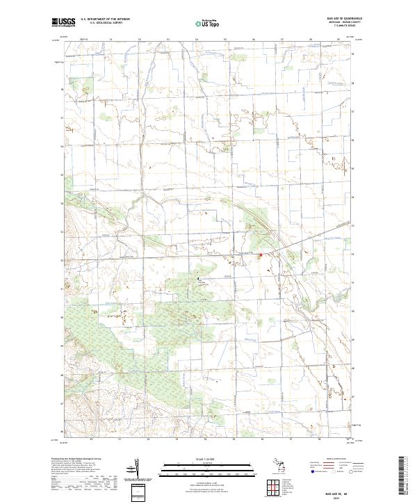 2023 Bad Axe SE2023 Print · USGSHuron County's agricultural heartland is documented here in the early 2020s, showing the intersection of historic family farmsteads and complex water systems. Genealogists can locate the Sigel Township Lutheran Cem and trace the paths of East Branch Willow Creek or Mazure Drain.
 - 2023 Map of Bad Axe East, 2023 Print
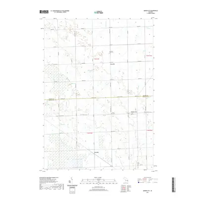
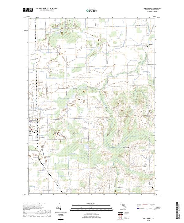 2023 Bad Axe East2023 Print · USGSThe eastern surroundings of Bad Axe and the agricultural heart of Huron County are captured here in the early twenty-first century. Genealogists can locate several rural burial sites, including Saint Joseph Cem, Verona Cem, and Most Holy Trinity Cem.
Showing maps 1-25 of 27
Top cities near Paris Township
- Bad Axe historical maps
- Harbor Beach historical maps
- Verona historical maps
- Deckerville historical maps
- Ubly historical maps
- Argyle historical maps
See more
Top neighborhoods of Paris Township
- Parisville historical maps
- Pawlowski historical maps
- Cracow historical maps
- New Parisville historical maps
Frequently asked questions
- What are the different types of historical maps available for Paris Township?
- What is the oldest map of Paris Township?
- Where can I purchase historical maps of Paris Township for my home or office?
- Where can I download high-res historical maps of Paris Township?
- Are there historical topographic maps available for Paris Township?
- Is there historical aerial imagery available for Paris Township?
- Where are historical maps of Paris Township sourced from?