Old Maps of Sebewaing Township, Michigan for Metal Detecting
Plan your next treasure hunt with 27 historic maps of Sebewaing Township. Find old homesites, ghost towns, trails, and gathering spots that may be lost to time — perfect for identifying promising metal detecting locations.
- Locate forgotten sites: Uncover places like long-lost settlements, abandoned rail lines, or gathering spots.
- Plan better hunts: Use map overlays combined with LiDAR or satellite views to narrow in on historically rich areas.
- Made for detectorists: Thousands of hobbyists use these maps to discover relics, coins, and hidden history.
Use these historic maps to boost your research and find new opportunities beneath the surface of Sebewaing Township.
Sebewaing Township, MI maps
(27)- 1954 Map of Flint, 1968 Print
 1954 Flint1968 Print · USGSThe industrial corridor and fertile Thumb region of Michigan come alive in this mid-century survey. Genealogists and historians can trace the rail networks of the Grand Trunk, locate established settlements like Bad Axe and Sandusky, or explore the 1950s shoreline along Saginaw Bay.4 unique versions available
 - 1958 Map of Flint
 1958 Flint1958 Print · USGSThe Michigan Thumb and the Saginaw Valley are captured here during the height of the post-war industrial era. Researchers can trace the complex rail networks of the Grand Trunk Western or locate mid-century landmarks like Lakeport State Park and the port at Bay City.2 unique versions available
 - 1963 Map of Owendale, 1964 Print
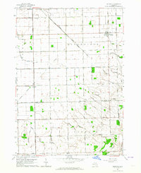 1963 Owendale1964 Print · USGSThe Michigan Thumb’s rural heartland is captured in the early sixties as a structured grid of farmsteads and drainage canals. Researchers can trace family ties and township history through landmarks like Owendale, St Peters Sch, and the New York Central rail line.
 - 1963 Map of Sebewaing, 1965 Print
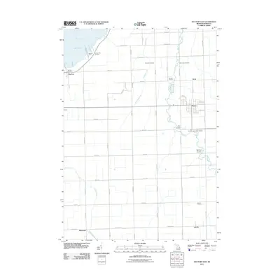
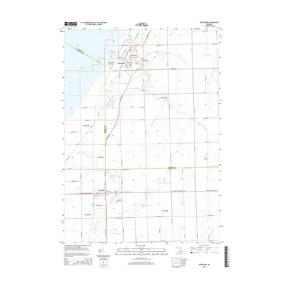
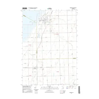
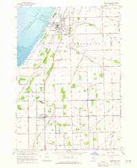 1963 Sebewaing1965 Print · USGSThe Saginaw Bay shoreline and the Thumb's fertile farm country are captured here in the early sixties. Genealogists and local historians can trace the rail lines of the Chesapeake and Ohio and locate landmarks like New Salem Cem and Unionville.2 unique versions available
 - 1970 Map of Bay Port West, 1972 Print
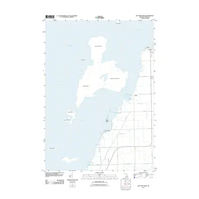
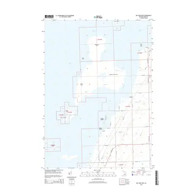
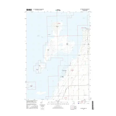
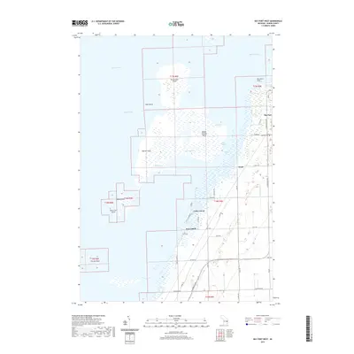
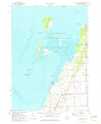 1970 Bay Port West1972 Print · USGSCoastal Huron County in the early seventies shows a landscape defined by the intricate wetlands of Wildfowl Bay and the Saginaw Bay shoreline. Genealogists and local historians can trace family roads and rural landmarks like Fairhaven Ch, Bay Port Cem, and the tracks of the Chesapeake and Ohio.2 unique versions available
 - 1970 Map of Bay Port East, 1972 Print
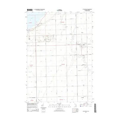
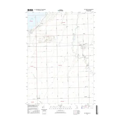
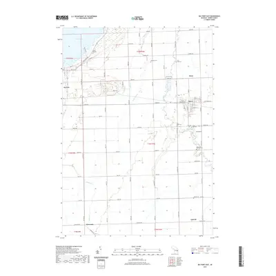
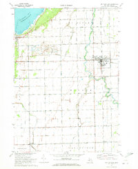 1970 Bay Port East1972 Print · USGSThe fertile plains of Huron County appear here in the early 1970s, defined by the Pigeon River and the lakefront at Wildfowl Bay. Researchers can trace family roots at Kilmanagh Ch or locate the old Quarry and Linkville cemetery.
 - 1984 Map of Bay City, 1985 Print
 1984 Bay City1985 Print · USGSSaginaw Bay and the surrounding Michigan thumb region are captured in the mid-1980s, showing a landscape defined by industrial riverfronts and expanding lakeside parks. Researchers can trace family roots through landmarks like Floral Gardens Cem or follow the Chesapeake and Ohio rail lines through towns like Bad Axe and Pigeon.
 - 2011 Map of Bay Port East, 2011 Print
 2011 Bay Port East2011 Print · USGSCovers Sebewaing Township, including Pigeon, Bay Port, and other nearby areas
 - 2011 Map of Sebewaing, 2011 Print
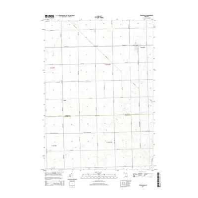
 2011 Sebewaing2011 Print · USGSCovers Sebewaing Township, including Sebewaing, Unionville, and other nearby areas
 - 2011 Map of Bay Port West, 2011 Print
 2011 Bay Port West2011 Print · USGSCovers Sebewaing Township, including Fairhaven Township, Rose Island, and other nearby areas
 - 2011 Map of Owendale, 2011 Print
 2011 Owendale2011 Print · USGSCovers Sebewaing Township, including Gagetown, Owendale, and other nearby areas
 - 2014 Map of Owendale, 2014 Print
 2014 Owendale2014 Print · USGSCovers Sebewaing Township, including Gagetown, Owendale, and other nearby areas
 - 2014 Map of Bay Port West, 2014 Print
 2014 Bay Port West2014 Print · USGSCovers Sebewaing Township, including Fairhaven Township, Rose Island, and other nearby areas
 - 2014 Map of Bay Port East, 2014 Print
 2014 Bay Port East2014 Print · USGSCovers Sebewaing Township, including Pigeon, Bay Port, and other nearby areas
 - 2014 Map of Sebewaing, 2014 Print
 2014 Sebewaing2014 Print · USGSCovers Sebewaing Township, including Sebewaing, Unionville, and other nearby areas
 - 2017 Map of Bay Port West, 2017 Print
 2017 Bay Port West2017 Print · USGSCovers Sebewaing Township, including Fairhaven Township, Rose Island, and other nearby areas
 - 2017 Map of Bay Port East, 2017 Print
 2017 Bay Port East2017 Print · USGSCovers Sebewaing Township, including Pigeon, Bay Port, and other nearby areas
 - 2017 Map of Owendale, 2017 Print
 2017 Owendale2017 Print · USGSCovers Sebewaing Township, including Gagetown, Owendale, and other nearby areas
 - 2017 Map of Sebewaing, 2017 Print
 2017 Sebewaing2017 Print · USGSCovers Sebewaing Township, including Sebewaing, Unionville, and other nearby areas
 - 2019 Map of Bay Port East, 2019 Print
 2019 Bay Port East2019 Print · USGSCovers Sebewaing Township, including Pigeon, Bay Port, and other nearby areas
 - 2019 Map of Sebewaing, 2019 Print
 2019 Sebewaing2019 Print · USGSCovers Sebewaing Township, including Sebewaing, Unionville, and other nearby areas
 - 2019 Map of Bay Port West, 2019 Print
 2019 Bay Port West2019 Print · USGSCovers Sebewaing Township, including Fairhaven Township, Rose Island, and other nearby areas
 - 2019 Map of Owendale, 2019 Print
 2019 Owendale2019 Print · USGSCovers Sebewaing Township, including Gagetown, Owendale, and other nearby areas
 - 2023 Map of Sebewaing, 2023 Print
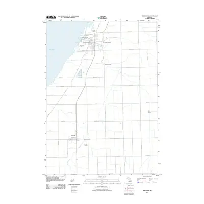
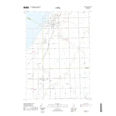
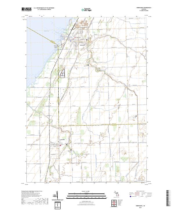 2023 Sebewaing2023 Print · USGSSettled along the shores of Saginaw Bay, this contemporary map shows the enduring agricultural and coastal character of northern Michigan. Researchers can trace family roots at Moravian Cem, Saint Peters Cem, and Columbia Township Cem.
 - 2023 Map of Owendale, 2023 Print
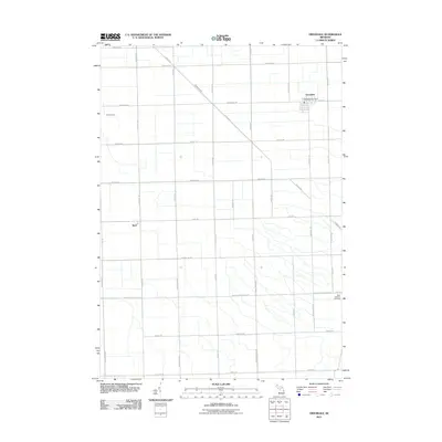
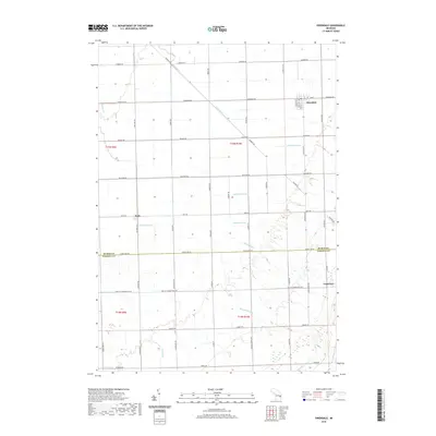
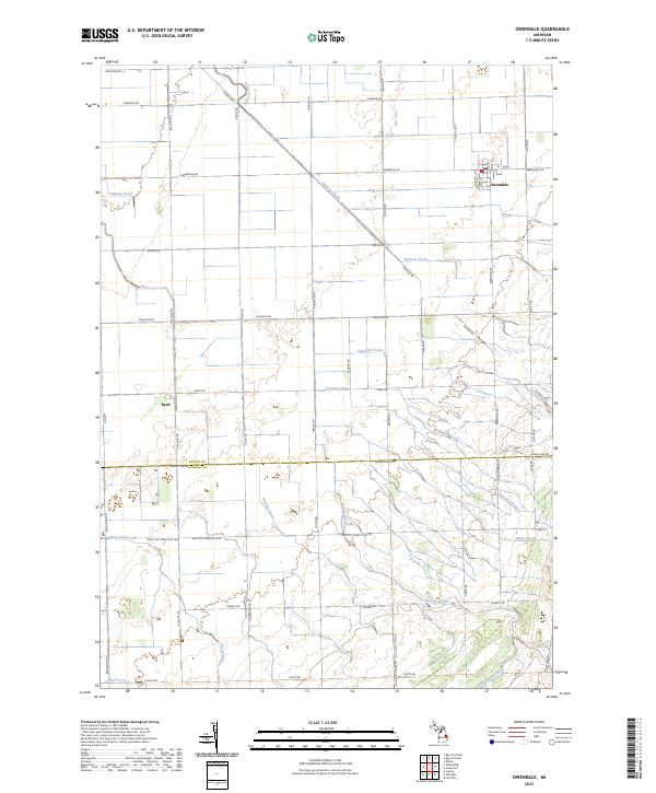 2023 Owendale2023 Print · USGSAgricultural settlements and complex drainage systems define this Huron County landscape in the 2020s. Researchers can trace the layout of Owendale and Bach alongside family-named landmarks like Pobanz Rd and water features like Shebeon Creek.
Showing maps 1-25 of 27
Top cities near Sebewaing Township
- Caro historical maps
- Sebewaing historical maps
- Ellington historical maps
- Pigeon historical maps
- Elmwood historical maps
- Caseville historical maps
See more
Top neighborhoods of Sebewaing Township
Frequently asked questions
- What are the different types of historical maps available for Sebewaing Township?
- What is the oldest map of Sebewaing Township?
- Where can I purchase historical maps of Sebewaing Township for my home or office?
- Where can I download high-res historical maps of Sebewaing Township?
- Are there historical topographic maps available for Sebewaing Township?
- Is there historical aerial imagery available for Sebewaing Township?
- Where are historical maps of Sebewaing Township sourced from?