2000s (21st Century) Maps of Lansing, Michigan
Explore 20 historic maps of Lansing from the 2000s (21st Century). These maps offer a rare glimpse into what life looked like during the 2000s — showing old roads, neighborhoods, homes, and landmarks that have changed or disappeared over time.
Whether you're researching your family's past, planning a metal detecting trip, or studying how Lansing's landscape evolved across the 2000s, these high-resolution maps are a powerful tool for exploring the history of this region.
- Focus on a specific era: All maps on this page are from the 2000s, giving you a focused view of this time period.
- See what’s changed: Compare century-old streets, trails, and buildings to today's modern landscape using overlays and satellite layers.
- Research with precision: Use these maps for genealogy, historical research, land use analysis, or educational projects.
- View, download, or print: Maps are fully viewable online in high resolution, and can be downloaded or printed for your own records.
Start exploring Lansing's history through authentic maps from the 2000s. This is your window into the past.
Lansing, MI maps
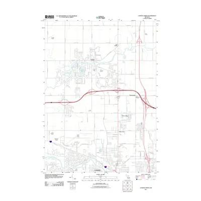
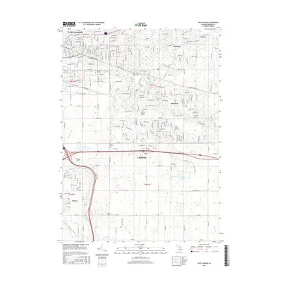
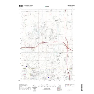
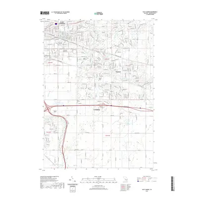
(20)- 2011 Map of East Lansing, 2011 Print
 2011 East Lansing2011 Print · USGSCovers Lansing, including East Lansing, Lansing Charter Township, and other nearby areas
 - 2011 Map of Dimondale, 2011 Print
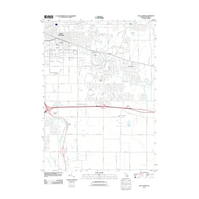
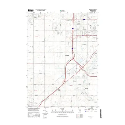
 2011 Dimondale2011 Print · USGSCovers Lansing, including Grand Ledge, Potterville, and other nearby areas
 - 2011 Map of Lansing North, 2011 Print
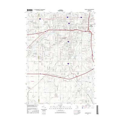
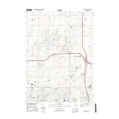
 2011 Lansing North2011 Print · USGSCovers Lansing, including East Lansing, DeWitt, and other nearby areas
 - 2011 Map of Lansing South, 2011 Print
 2011 Lansing South2011 Print · USGSCovers Lansing, including East Lansing, Edgemont Park, and other nearby areas
 - 2014 Map of Dimondale, 2014 Print
 2014 Dimondale2014 Print · USGSCovers Lansing, including Grand Ledge, Potterville, and other nearby areas
 - 2014 Map of East Lansing, 2014 Print
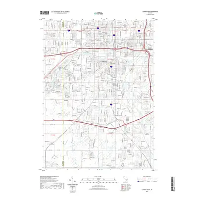
 2014 East Lansing2014 Print · USGSCovers Lansing, including East Lansing, Lansing Charter Township, and other nearby areas
 - 2014 Map of Lansing South, 2014 Print
 2014 Lansing South2014 Print · USGSCovers Lansing, including East Lansing, Edgemont Park, and other nearby areas
 - 2014 Map of Lansing North, 2014 Print
 2014 Lansing North2014 Print · USGSCovers Lansing, including East Lansing, DeWitt, and other nearby areas
 - 2017 Map of Lansing South, 2017 Print
 2017 Lansing South2017 Print · USGSCovers Lansing, including East Lansing, Edgemont Park, and other nearby areas
 - 2017 Map of Dimondale, 2017 Print
 2017 Dimondale2017 Print · USGSCovers Lansing, including Grand Ledge, Potterville, and other nearby areas
 - 2017 Map of Lansing North, 2017 Print
 2017 Lansing North2017 Print · USGSCovers Lansing, including East Lansing, DeWitt, and other nearby areas
 - 2017 Map of East Lansing, 2017 Print
 2017 East Lansing2017 Print · USGSCovers Lansing, including East Lansing, Lansing Charter Township, and other nearby areas
 - 2019 Map of Lansing North, 2019 Print
 2019 Lansing North2019 Print · USGSCovers Lansing, including East Lansing, DeWitt, and other nearby areas
 - 2019 Map of Lansing South, 2019 Print
 2019 Lansing South2019 Print · USGSCovers Lansing, including East Lansing, Edgemont Park, and other nearby areas
 - 2019 Map of Dimondale, 2019 Print
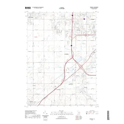 2019 Dimondale2019 Print · USGSCovers Lansing, including Grand Ledge, Potterville, and other nearby areas
 - 2019 Map of East Lansing, 2019 Print
 2019 East Lansing2019 Print · USGSCovers Lansing, including East Lansing, Lansing Charter Township, and other nearby areas
 - 2023 Map of East Lansing, 2023 Print
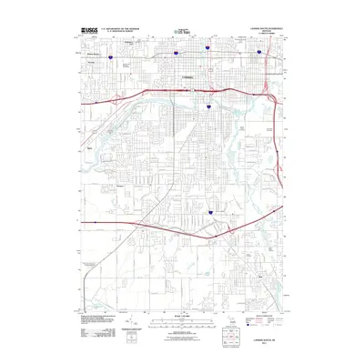
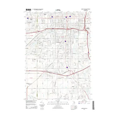
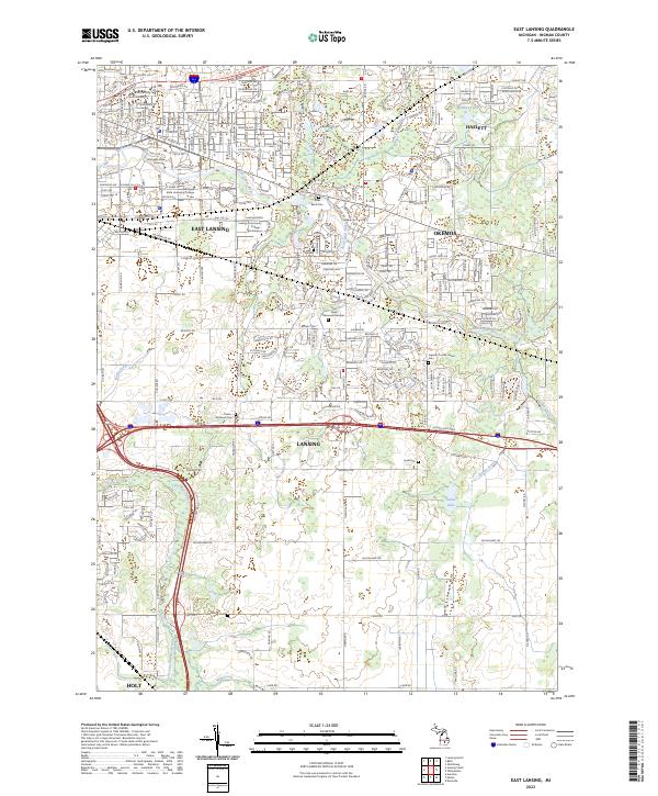 2023 East Lansing2023 Print · USGSGreater East Lansing and Okemos are shown in this contemporary portrait of Ingham County's educational and suburban heart. Researchers can map the grounds of Michigan State University or locate family history at River Bend Cem, Leek Cem, and Phillips Cem.
 - 2023 Map of Dimondale, 2023 Print
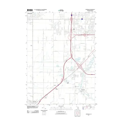
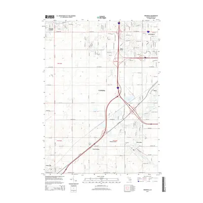
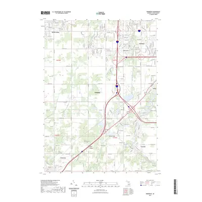 2023 Dimondale2023 Print · USGSThe western outskirts of Lansing and the riverfront village of Dimondale are shown here during their recent period of expansion. Genealogists can locate several family and community burial sites, such as Pioneer Cem, Pray Cem, and the Dimondale Cem.
 - 2023 Map of Lansing South, 2023 Print
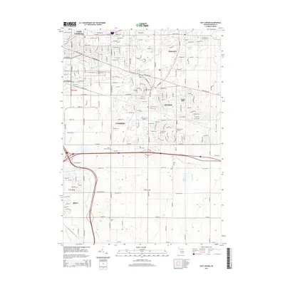
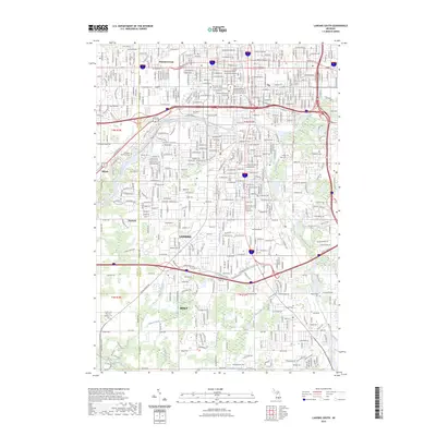 2023 Lansing South2023 Print · USGSGreater Lansing and the community of Holt are shown in this contemporary view as they straddle the Eaton and Ingham County border. Genealogists and researchers can trace the modern layout of the Grand River waterfront and locate landmarks like Evergreen Cem and Edgemont Park.
 - 2023 Map of Lansing North, 2023 Print
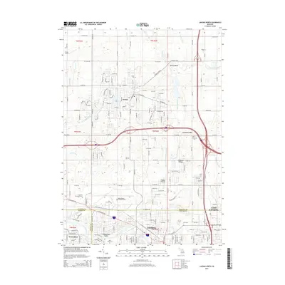
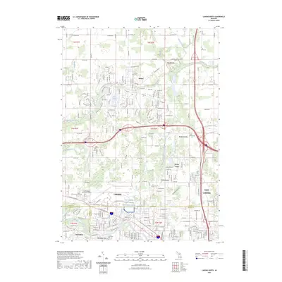 2023 Lansing North2023 Print · USGSThe northern reaches of the Lansing metropolitan area are documented here during a period of significant suburban and infrastructure growth. Researchers can locate established community landmarks like Gunnisonville Cem, trace the course of the Looking Glass River, and study the layout of the Capital Region International Airport.
End of results
Showing maps 1-20 of 20
Top cities near Lansing
- East Lansing historical maps
- Mason historical maps
- Grand Ledge historical maps
- Eaton Rapids historical maps
- DeWitt historical maps
- Aurelius historical maps
See more
Top neighborhoods of Lansing
- Lady Hill historical maps
- Creston historical maps
- Shady Oaks historical maps
- Northtown historical maps
- River Forest historical maps
- Churchill Downs historical maps
See more
Frequently asked questions
- What are the different types of historical maps available for Lansing?
- What is the oldest map of Lansing?
- Where can I purchase historical maps of Lansing for my home or office?
- Where can I download high-res historical maps of Lansing?
- Are there historical topographic maps available for Lansing?
- Is there historical aerial imagery available for Lansing?
- Where are historical maps of Lansing sourced from?