Old Maps of Onondaga Township, Michigan for Genealogy
Trace your family roots with 37 historic maps of Onondaga Township. These high-res maps reveal old neighborhoods, homesites, landmarks, and streets — helping you uncover where your ancestors lived and how the area evolved over time.
- Explore historic neighborhoods: Identify where your relatives may have lived in the 1800s or 1900s.
- Compare maps over time: Trace the changes in streets, buildings, and landmarks for multi-generational research.
- Perfect for genealogy & ancestry research: Used by family historians and researchers to map out lineage and migration.
These maps are an incredible resource for exploring your personal connection to Onondaga Township's past.
Onondaga Township, MI maps
(37)- 1909 Map of Mason, 1965 Print
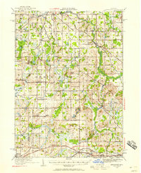
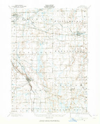 1909 Mason1965 Print · USGSIngham County at the turn of the century shows a landscape defined by the intersection of major rail lines and a dense network of one-room schoolhouses. Genealogists can trace early landmarks like Haslett, Dansville, and numerous family-named schools like Akers School or Kipp School.
 - 1910 Map of Lansing, 1958 Print
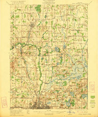
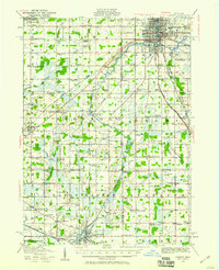 1910 Lansing1958 Print · USGSThe state capital and its surrounding agrarian townships are captured here during a period of significant growth at the start of the 1910s. Genealogists can trace hundreds of family farms and local landmarks including Dolly Varden School, Grovenberg Church, and the Pere Marquette rail lines.
 - 1911 Map of Mason
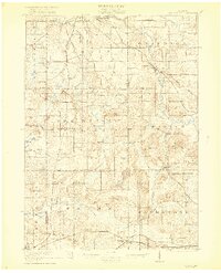
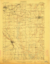 1911 Mason1911 Print · USGSIngham County at the start of the twentieth century shows a landscape of busy rail junctions and rural school districts. Genealogists can trace family roots through dozens of named country schools like White Dog School and Marble School, or locate ancestral property near Mason and Dansville.3 unique versions available
 - 1912 Map of Lansing
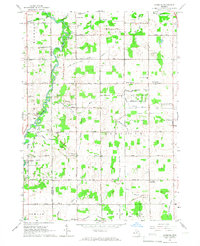
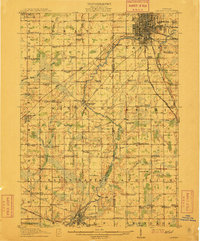 1912 Lansing1912 Print · USGSLansing and the surrounding townships are captured in 1912 as the region's rural character met the growing industrial city. Genealogists can trace family footprints through dozens of country school sites like Dolly Varden School or settlements such as Dimondale and Canada Settlement.4 unique versions available
 - 1919 Map of Springport, 1958 Print
 1919 Springport1958 Print · USGSSouthern Michigan at the close of the Great War is a landscape of rural schoolhouses and historic turnpikes. Genealogists can locate family landmarks like Chapel Cemetery or trace the early paths of the Old Plank Road and Michigan Central Railroad.3 unique versions available
 - 1919 Map of Rives Junction, 1960 Print
 1919 Rives Junction1960 Print · USGSThe rural landscapes of Ingham and Jackson Counties are captured here at the end of the Great War. Genealogists can trace family footprints across dozens of local school districts and settlements like Rives Junction, Bunker Hill Center, and Fitchburg.
 - 1921 Map of Rives Junction
 1921 Rives Junction1921 Print · USGSJackson and its northern rural townships are captured in the early twenties, a time of small school districts and steam-powered rail travel. Genealogists can locate family landmarks such as Bunker Hill Chapel, the County Infirmary, and East Rives Cemetery.3 unique versions available
 - 1921 Map of Springport
 1921 Springport1921 Print · USGSCentral Michigan's agricultural heartland at the end of the Great War reveals a landscape of dispersed farmsteads and numerous small school districts. Genealogists can trace family lands near Onondaga, Kinneville, and Chapel Cemetery, or locate vanished schoolhouses like Knight School and Fisk School.2 unique versions available
 - 1958 Map of Grand Rapids, 1973 Print
 1958 Grand Rapids1973 Print · USGSSouthern Michigan at the peak of the postwar era shows a landscape of burgeoning cities and new interstate highways. Trace family roots and regional growth in Grand Rapids, Battle Creek, and the glacial lake country around Gun Lake or Gull Lake.2 unique versions available
 - 1961 Map of Grand Rapids
 1961 Grand Rapids1961 Print · USGSSouthern Michigan at the dawn of the 1960s reveals a region shaped by major river systems and a robust rail network. Trace mid-century industrial growth and land use from Grand Rapids to the Fort Custer Military Reservation and Gun Lake.
 - 1962 Map of Grand Rapids
 1962 Grand Rapids1962 Print · USGSMid-century Southern Michigan is mapped here at a time of massive growth, showing the expanding urban footprints of Grand Rapids and Lansing. Researchers can trace the legacy of the Grand Trunk Western RR, find historic boundaries of the Fort Custer Military Reservation, or locate sporting camps around Gun Lake.2 unique versions available
 - 1965 Map of Aurelius, 1967 Print
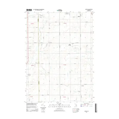
 1965 Aurelius1967 Print · USGSIngham County's rural landscape is captured here in the mid-1960s, showing a transition from traditional farmsteads to modern township development. Genealogists can trace family roots through several local landmarks like Skinner Cem, Petrieville, and the North Aurelius Sch.2 unique versions available
 - 1970 Map of Leslie, 1973 Print
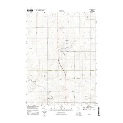
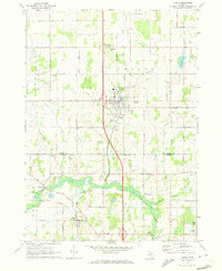 1970 Leslie1973 Print · USGSMid-Michigan's river-fed farm country is captured here during the early seventies, spanning the border of Ingham and Jackson Counties. Researchers can trace the Grand River through Berryville, locate family plots at Walker Cem, or follow the Old Penn Central Railroad north through Leslie.
 - 1970 Map of Mason, 1973 Print
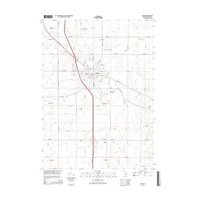
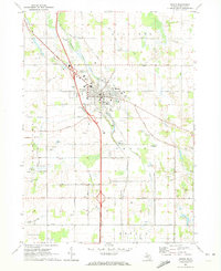 1970 Mason1973 Print · USGSMason and its surrounding townships are captured in the early seventies, showing a balanced landscape of county government, aviation, and agriculture. Researchers can trace the Penn Central Railroad and locate ancestral sites like Maple Grove Cem and Eden Cem.
 - 1981 Map of Onondaga
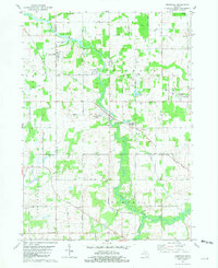 1981 Onondaga1981 Print · USGSMid-Michigan rural life in the early eighties centers on the river and rail lines connecting Ingham and Jackson counties. Local historians can trace family markers at Brown Cem and Lane Cem or explore the grounds of the VFW National Home.
 - 1983 Map of Jackson, 1984 Print
 1983 Jackson1984 Print · USGSJackson and the surrounding lake country are shown in the early eighties as a hub of rail transit and outdoor recreation. Local historians can trace institutional footprints like the State Prison Farm or explore the landscape of Minards Mill and Olivet College.
 - 1983 Map of Lansing, 1984 Print
 1983 Lansing1984 Print · USGSThe Lansing area and its surrounding river valleys are captured here in the early eighties. Genealogists and historians can trace the rail corridors of the Conrail or locate local landmarks like St Johns Ch and Greenwood Cem.
 - 2011 Map of Leslie, 2011 Print
 2011 Leslie2011 Print · USGSCovers Onondaga Township, including Leslie, Tompkins Township, and other nearby areas
 - 2011 Map of Onondaga, 2011 Print
 2011 Onondaga2011 Print · USGSCovers Onondaga Township, including Onondaga, Springport Township, and other nearby areas
 - 2011 Map of Mason, 2011 Print
 2011 Mason2011 Print · USGSCovers Onondaga Township, including Mason, Eden, and other nearby areas
 - 2011 Map of Aurelius, 2011 Print
 2011 Aurelius2011 Print · USGSCovers Onondaga Township, including Aurelius, Windsor Charter Township, and other nearby areas
 - 2014 Map of Onondaga, 2014 Print
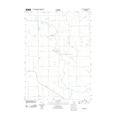
 2014 Onondaga2014 Print · USGSCovers Onondaga Township, including Onondaga, Springport Township, and other nearby areas
 - 2014 Map of Aurelius, 2014 Print
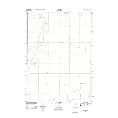
 2014 Aurelius2014 Print · USGSCovers Onondaga Township, including Aurelius, Windsor Charter Township, and other nearby areas
 - 2014 Map of Mason, 2014 Print
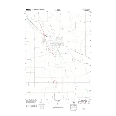
 2014 Mason2014 Print · USGSCovers Onondaga Township, including Mason, Eden, and other nearby areas
 - 2014 Map of Leslie, 2014 Print
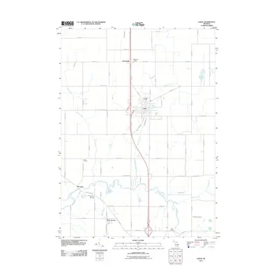
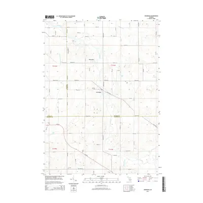
 2014 Leslie2014 Print · USGSCovers Onondaga Township, including Leslie, Tompkins Township, and other nearby areas
Showing maps 1-25 of 37
Top cities near Onondaga Township
- Lansing historical maps
- Jackson historical maps
- Albion historical maps
- Spring Arbor Township historical maps
- Mason historical maps
- Eaton Rapids historical maps
See more
Top neighborhoods of Onondaga Township
Frequently asked questions
- What are the different types of historical maps available for Onondaga Township?
- What is the oldest map of Onondaga Township?
- Where can I purchase historical maps of Onondaga Township for my home or office?
- Where can I download high-res historical maps of Onondaga Township?
- Are there historical topographic maps available for Onondaga Township?
- Is there historical aerial imagery available for Onondaga Township?
- Where are historical maps of Onondaga Township sourced from?