Old Maps of Otisco Township, Michigan for Hiking & Exploration
Hike through history with 18 historic maps of Otisco Township. Explore old trails, ghost towns, and forgotten backroads — perfect for outdoor adventurers and local explorers.
- Rediscover forgotten places: Map out old mining camps, roads, and footpaths that no longer exist on modern maps.
- Layer with modern tools: Combine with LiDAR or satellite views to plan hikes through historical terrain.
- Made for exploration: Popular among hikers, overlanders, and local history lovers.
Use these maps to find adventure and explore the hidden past of Otisco Township.
Otisco Township, MI maps
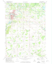
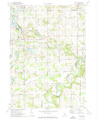
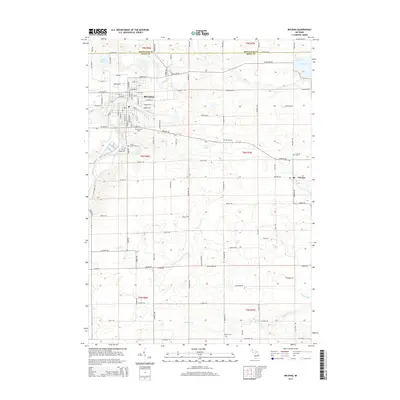
(18)- 1954 Map of Midland, 1967 Print
 1954 Midland1967 Print · USGSMid-Michigan at the peak of the post-war era shows a landscape balancing industrial growth in Midland with the deep timberlands of the Manistee National Forest. Researchers can trace the legacy of the timber and rail era along the Pennsylvania RR or find family roots in river towns like Chesaning and Big Rapids.4 unique versions available
 - 1958 Map of Midland
 1958 Midland1958 Print · USGSCentral Michigan in the late fifties is captured here during a period of transition for its university towns and industrial hubs. Genealogists and researchers can trace family lines through old rail-stop towns like Breckenridge and Chesaning or locate property near the Muskegon River and Prairie Farm.
 - 1959 Map of Midland
 1959 Midland1959 Print · USGSMid-century Michigan comes alive in this survey of the central Lower Peninsula, from the streets of Grand Rapids to the Houghton Lake timberlands. Genealogists and rail fans can trace the Ann Arbor RR and Chesapeake and Ohio RR through towns like Big Rapids and Mount Pleasant.
 - 1966 Map of Midland
 1966 Midland1966 Print · USGSCentral Michigan in the mid-1960s shows a landscape of growing manufacturing hubs and active resource extraction. Genealogists and historians can trace the rail corridors of the Grand Trunk Western or locate family-named landmarks near Oil wells and the Muskegon River.
 - 1972 Map of Belding, 1974 Print
 1972 Belding1974 Print · USGSThe Ionia County countryside is captured here in the early seventies, centered on the river-fed industrial core and rural townships. Researchers can trace family history through landmarks like Seeley Church of God, River Ridge Cem, and the old Chesapeake and Ohio rail line.
 - 1972 Map of Smyrna, 1974 Print
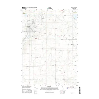
 1972 Smyrna1974 Print · USGSIonia and Kent counties come alive in this early 1970s survey, showing the rural landscapes around the Flat River before modern expansion. Genealogists can trace family names through the Otisco Cem and Mason Cem, or locate the historic Whites Bridge (Covered) and the Smyrna settlement.
 - 1985 Map of Cedar Springs
 1985 Cedar Springs1985 Print · USGSThe northern reaches of the Grand Rapids metro area meet the forests of the Manistee during the mid-eighties. Genealogists and historians can trace the paths of the Grand Trunk Western RR through Sparta or locate rural landmarks near Cedar Springs and Rockford.
 - 1986 Map of Cedar Springs, 1989 Print
 1986 Cedar Springs1989 Print · USGSThe northern suburbs of Grand Rapids meet the Manistee National Forest in the mid-1980s. Genealogists and historians can trace the rail-side growth of Howard City, Rockford, and Greenville along the C & O RR and Flat River.
 - 2011 Map of Smyrna, 2011 Print
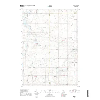
 2011 Smyrna2011 Print · USGSCovers Otisco Township, including Belding, Vergennes Township, and other nearby areas
 - 2011 Map of Belding, 2011 Print
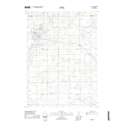
 2011 Belding2011 Print · USGSCovers Otisco Township, including Belding, Orleans, and other nearby areas
 - 2014 Map of Belding, 2014 Print
 2014 Belding2014 Print · USGSCovers Otisco Township, including Belding, Orleans, and other nearby areas
 - 2014 Map of Smyrna, 2014 Print
 2014 Smyrna2014 Print · USGSCovers Otisco Township, including Belding, Vergennes Township, and other nearby areas
 - 2017 Map of Belding, 2017 Print
 2017 Belding2017 Print · USGSCovers Otisco Township, including Belding, Orleans, and other nearby areas
 - 2017 Map of Smyrna, 2017 Print
 2017 Smyrna2017 Print · USGSCovers Otisco Township, including Belding, Vergennes Township, and other nearby areas
 - 2019 Map of Smyrna, 2019 Print
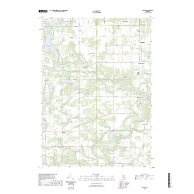
 2019 Smyrna2019 Print · USGSCovers Otisco Township, including Belding, Vergennes Township, and other nearby areas
 - 2019 Map of Belding, 2019 Print
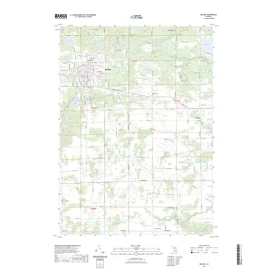
 2019 Belding2019 Print · USGSCovers Otisco Township, including Belding, Orleans, and other nearby areas
 - 2023 Map of Smyrna, 2023 Print
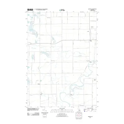
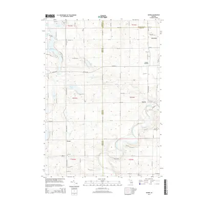
 2023 Smyrna2023 Print · USGSThe river valleys of Ionia and Kent counties are captured here in the early twenty-first century, showing a landscape of small towns and inland lakes. Researchers can trace local heritage through numerous sites like Smyrna Cemetery, Moseley, and the Boulder Canyon Airport.
 - 2023 Map of Belding, 2023 Print
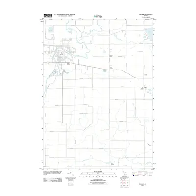
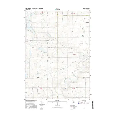
 2023 Belding2023 Print · USGSBelding and its surrounding townships are shown here at the start of the 2020s, centered on the winding Flat River. Researchers can trace local heritage through several burial sites like Old Belding Cem and find the small settlement of Orleans.
End of results
Showing maps 1-18 of 18
Top cities near Otisco Township
- Cascade Charter Township historical maps
- Ada Township historical maps
- Cannon Township historical maps
- Ionia historical maps
- Greenville historical maps
- Lowell Charter Township historical maps
See more
Top neighborhoods of Otisco Township
Frequently asked questions
- What are the different types of historical maps available for Otisco Township?
- What is the oldest map of Otisco Township?
- Where can I purchase historical maps of Otisco Township for my home or office?
- Where can I download high-res historical maps of Otisco Township?
- Are there historical topographic maps available for Otisco Township?
- Is there historical aerial imagery available for Otisco Township?
- Where are historical maps of Otisco Township sourced from?