Old Maps of Baldwin Township, Michigan for Metal Detecting
Plan your next treasure hunt with 28 historic maps of Baldwin Township. Find old homesites, ghost towns, trails, and gathering spots that may be lost to time — perfect for identifying promising metal detecting locations.
- Locate forgotten sites: Uncover places like long-lost settlements, abandoned rail lines, or gathering spots.
- Plan better hunts: Use map overlays combined with LiDAR or satellite views to narrow in on historically rich areas.
- Made for detectorists: Thousands of hobbyists use these maps to discover relics, coins, and hidden history.
Use these historic maps to boost your research and find new opportunities beneath the surface of Baldwin Township.
Baldwin Township, MI maps
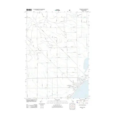
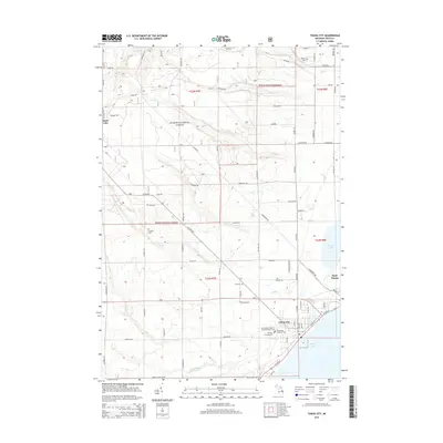
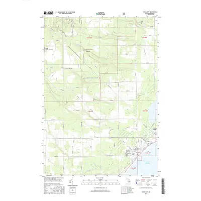
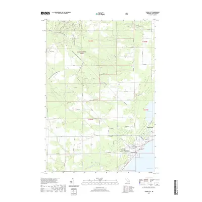
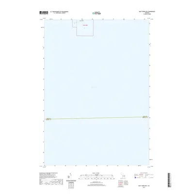
(28)- 1954 Map of Tawas City, 1968 Print
 1954 Tawas City1968 Print · USGSCoastal life along Lake Huron was defined by a mix of military aviation and hydroelectric power in the mid-fifties. Researchers can trace the river dams like Cooke Dam, the layout of Wurtsmith AFB, and the coastal mining operations at Alabaster.4 unique versions available
 - 1958 Map of Tawas City
 1958 Tawas City1958 Print · USGSThe Lake Huron shoreline and northern Michigan timberlands come into focus in the late fifties, during the expansion of the Cold War. Genealogists and historians can trace rail lines like the Detroit and Mackinac, find regional landmarks like the Lumbermans Memorial Monument, and locate coastal facilities including Wurtsmith AFB.2 unique versions available
 - 1959 Map of Tawas City, 1960 Print
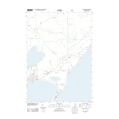
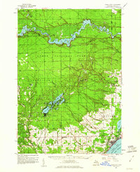 1959 Tawas City1960 Print · USGSIosco County at the end of the 1950s shows a landscape defined by the Au Sable River’s hydroelectric basins and the growing lakeshore communities of Tawas Bay. Researchers can trace genealogical roots at Wilber Ch and Zion Cem or locate vanished sites like Sid Town and the Wurtsmith Air Force Range.4 unique versions available
 - 1959 Map of East Tawas, 1960 Print
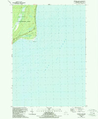
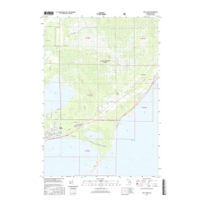
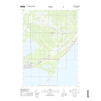
 1959 East Tawas1960 Print · USGSCoastal Iosco County comes to life in the late fifties, where military aviation and shoreline industry meet the Huron National Forest. Researchers can trace the layout of Wurtsmith Air Force Base or locate local landmarks like Chippewa Cem and the Foote Dam.3 unique versions available
 - 1984 Map of Tawas City, 1985 Print
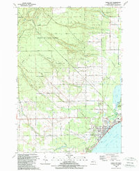
 1984 Tawas City1985 Print · USGSNortheast Michigan's shoreline and forest interior are captured here in the mid-eighties, from the active runways of Wurtsmith Air Force Base to the quiet waters of Tawas Bay. Genealogists and local historians can locate rural landmarks like Skunk Sch, the Welcome Church, and the route of the Detroit and Mackinac railroad.3 unique versions available
 - 1989 Map of East Tawas
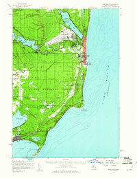
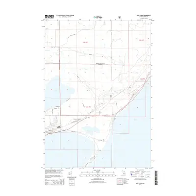
 1989 East Tawas1989 Print · USGSEast Tawas and the shoreline of Lake Huron are captured in the late eighties as the region balanced conservation and coastal growth. Researchers can locate the Lighthouse and U. S. Coast Guard Sta at Tawas Point, or trace local landmarks like Greenwood Cem and the Drive-in Theater.
 - 1989 Map of Tawas City
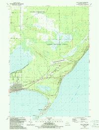
 1989 Tawas City1989 Print · USGSThe Lake Huron shoreline and Tawas Bay come alive in the late eighties as the twin cities expand against the Huron National Forest. Researchers can trace family-named sites and rural landmarks like Laidlaw Cem, Wilber Cem, and the Tawas Golf Course.
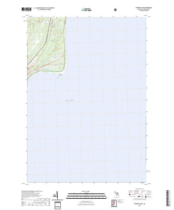
 - 1989 Map of Spencer Lake
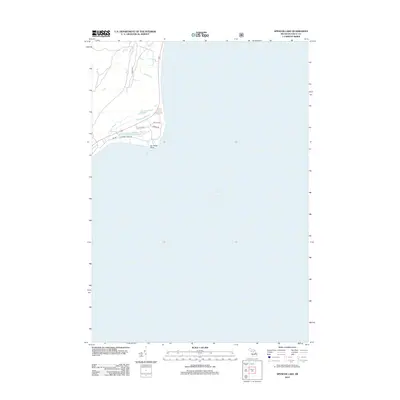
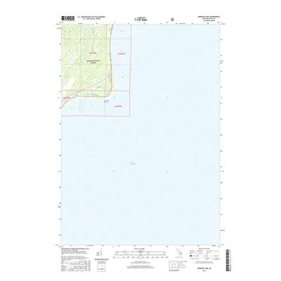
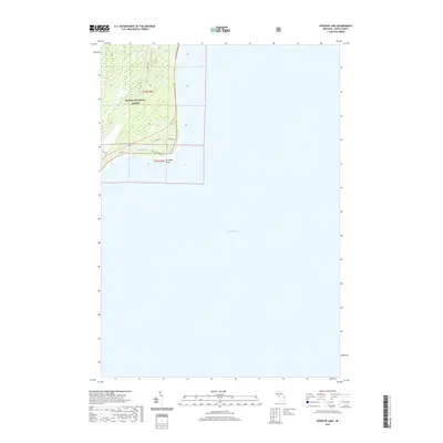
 1989 Spencer Lake1989 Print · USGSThe Iosco County shoreline in the late eighties reveals a landscape of protected woods and expansive water. Researchers can trace the coastal boundary of the Huron National Forest and locate seasonal landmarks like Spencer Lake and Au Sable Point.
 - 2011 Map of East Tawas OE S, 2011 Print
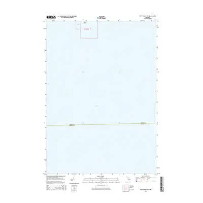
 2011 East Tawas OE S2011 Print · USGSCovers Baldwin Township, including Iosco County, United States, and other nearby areas
 - 2012 Map of Tawas City, 2012 Print
 2012 Tawas City2012 Print · USGSCovers Baldwin Township, including East Tawas, Tawas City, and other nearby areas
 - 2012 Map of East Tawas, 2012 Print
 2012 East Tawas2012 Print · USGSCovers Baldwin Township, including East Tawas, Wilber Township, and other nearby areas
 - 2012 Map of Spencer Lake, 2012 Print
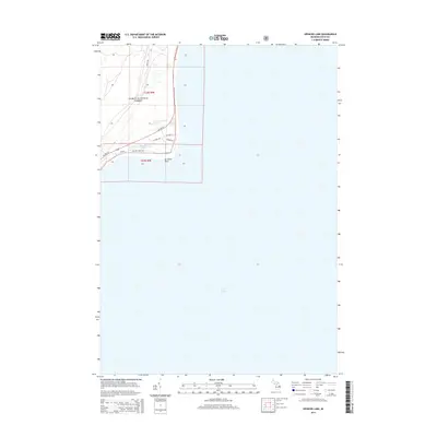
 2012 Spencer Lake2012 Print · USGSCovers Baldwin Township, including Au Sable Township, Iosco County, and other nearby areas
 - 2014 Map of Tawas City, 2014 Print
 2014 Tawas City2014 Print · USGSCovers Baldwin Township, including East Tawas, Tawas City, and other nearby areas
 - 2014 Map of East Tawas, 2014 Print
 2014 East Tawas2014 Print · USGSCovers Baldwin Township, including East Tawas, Wilber Township, and other nearby areas
 - 2014 Map of Spencer Lake, 2014 Print
 2014 Spencer Lake2014 Print · USGSCovers Baldwin Township, including Au Sable Township, Iosco County, and other nearby areas
 - 2014 Map of East Tawas OE S, 2014 Print
 2014 East Tawas OE S2014 Print · USGSCovers Baldwin Township, including Iosco County, United States, and other nearby areas
 - 2017 Map of Tawas City, 2017 Print
 2017 Tawas City2017 Print · USGSCovers Baldwin Township, including East Tawas, Tawas City, and other nearby areas
 - 2017 Map of East Tawas, 2017 Print
 2017 East Tawas2017 Print · USGSCovers Baldwin Township, including East Tawas, Wilber Township, and other nearby areas
 - 2017 Map of East Tawas OE S, 2017 Print
 2017 East Tawas OE S2017 Print · USGSCovers Baldwin Township, including Iosco County, United States, and other nearby areas
 - 2017 Map of Spencer Lake, 2017 Print
 2017 Spencer Lake2017 Print · USGSCovers Baldwin Township, including Au Sable Township, Iosco County, and other nearby areas
 - 2019 Map of Tawas City, 2019 Print
 2019 Tawas City2019 Print · USGSCovers Baldwin Township, including East Tawas, Tawas City, and other nearby areas
 - 2019 Map of Spencer Lake, 2019 Print
 2019 Spencer Lake2019 Print · USGSCovers Baldwin Township, including Au Sable Township, Iosco County, and other nearby areas
 - 2019 Map of East Tawas, 2019 Print
 2019 East Tawas2019 Print · USGSCovers Baldwin Township, including East Tawas, Wilber Township, and other nearby areas
 - 2019 Map of East Tawas OE S, 2019 Print
 2019 East Tawas OE S2019 Print · USGSCovers Baldwin Township, including Iosco County, United States, and other nearby areas
 - 2023 Map of Spencer Lake, 2023 Print
 2023 Spencer Lake2023 Print · USGSIosco County's shoreline and wooded interior are documented here during the early twenty-first century. Researchers can trace the layout of coastal roads like Ausable Point Rd and Gowen Rd near Spencer Lake and the Au Sable Point lighthouse area.
Showing maps 1-25 of 28
Top cities near Baldwin Township
Frequently asked questions
- What are the different types of historical maps available for Baldwin Township?
- What is the oldest map of Baldwin Township?
- Where can I purchase historical maps of Baldwin Township for my home or office?
- Where can I download high-res historical maps of Baldwin Township?
- Are there historical topographic maps available for Baldwin Township?
- Is there historical aerial imagery available for Baldwin Township?
- Where are historical maps of Baldwin Township sourced from?