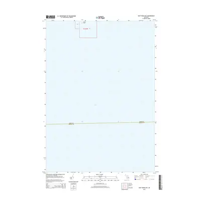
2014 Map of East Tawas OE S
USGS Topo · Published 2014About this map
Lake Huron dominates the aquatic expanse of this offshore survey, providing a clear perspective of the waters just southeast of the Lake Huron shoreline. The map centers on the open water where the boundary of Iosco and Arenac counties runs through the lake. Along the northern edge, the hook of Tawas Point extends into the basin, forming the sheltered waters of Tawas Bay. This charting highlights the transition from the protected coastal inlet to the deeper lake, reflecting the maritime geography of the Tawas area during the early 21st century. The map is largely a study of bathymetry and hydrography, showing the underwater reaches of the Saginaw Bay region without the clutter of terrestrial development.
Find a feature on this map
6 named features on this map. Tap any name to fly to it.
Don’t see what you’re looking for? This feature index may not catch every label — zoom into the map to look around manually.
Map Details
Editions of this 2014 East Tawas OE S Map
This is the sole edition of this map. No revisions or reprints were ever made.
Other maps of this area
1954 · Tawas City
USGS Topo · 1:250,000
1958 · Tawas City
USGS Topo · 1:250,000
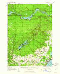
1959 · Tawas City
USGS Topo · 1:62,500
1959 · East Tawas
USGS Topo · 1:62,500
1966 · Point Lookout
USGS Topo · 1:24,000
1966 · Alabaster
USGS Topo · 1:24,000
1970 · Charity Island
USGS Topo · 1:24,000
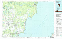
1984 · Tawas City
USGS Topo · 1:100,000
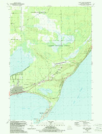
1989 · East Tawas
USGS Topo · 1:24,000
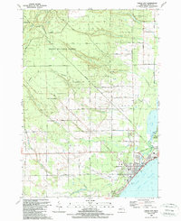
1989 · Tawas City
USGS Topo · 1:24,000