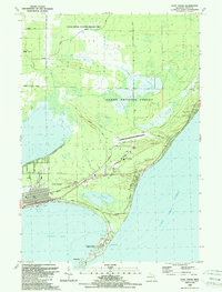
1989 Map of East Tawas
USGS Topo · Published 1989About this map
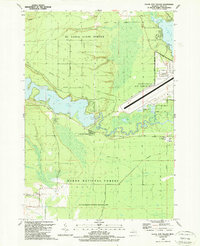
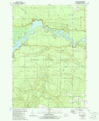
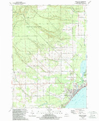
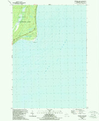
The coastal community of East Tawas serves as the focal point for this late 1980s coastal study, where the shoreline of Lake Huron meets the diverse wetlands of Tuttle Marsh National Wildlife Area. The geography is defined by the prominent hook of Tawas Point, which shelters Tawas Bay and contains both Tawas Point State Park and a historic Lighthouse. Inland, the landscape transitions from the residential blocks and Greenwood Cem of the town site into the expansive Huron National Forest.
Find a feature on this map
42 named features on this map. Tap any name to fly to it.
Don’t see what you’re looking for? This feature index may not catch every label — zoom into the map to look around manually.
Map Details
Editions of this 1989 East Tawas Map
This is the sole edition of this map. No revisions or reprints were ever made.
Other maps of this area

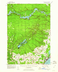
1954 · Tawas City
USGS Topo · 1:250,000

1958 · Tawas City
USGS Topo · 1:250,000
1959 · Tawas City
USGS Topo · 1:62,500
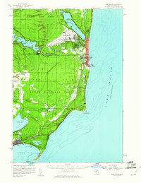
1959 · East Tawas
USGS Topo · 1:62,500
1966 · Alabaster
USGS Topo · 1:24,000

1984 · Tawas City
USGS Topo · 1:100,000
1989 · Foote Site Village
USGS Topo · 1:24,000
1989 · Sid Town
USGS Topo · 1:24,000
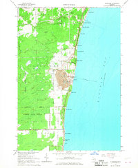
1989 · Tawas City
USGS Topo · 1:24,000
1989 · Spencer Lake
USGS Topo · 1:24,000