Old Maps of White Rock, Grant Township for Academic Research
Study the evolution of White Rock with 10 high-resolution historic maps. Whether you're teaching, researching, or modeling changes in land use, these maps provide essential visual documentation of urban, environmental, and geographic change.
- Analyze long-term change: Track patterns in development, transportation, and natural features.
- Ideal for environmental or urban studies: Support academic projects with primary historical map data.
- Use in the classroom or lab: Educators and researchers rely on these maps to bring historical context to life.
These maps are a powerful tool for teaching, research, and visualizing how White Rock has changed over the decades.
White Rock, Grant Township maps
(10)- 1954 Map of Tawas City, 1968 Print
 1954 Tawas City1968 Print · USGSCoastal life along Lake Huron was defined by a mix of military aviation and hydroelectric power in the mid-fifties. Researchers can trace the river dams like Cooke Dam, the layout of Wurtsmith AFB, and the coastal mining operations at Alabaster.4 unique versions available
 - 1958 Map of Tawas City
 1958 Tawas City1958 Print · USGSThe Lake Huron shoreline and northern Michigan timberlands come into focus in the late fifties, during the expansion of the Cold War. Genealogists and historians can trace rail lines like the Detroit and Mackinac, find regional landmarks like the Lumbermans Memorial Monument, and locate coastal facilities including Wurtsmith AFB.2 unique versions available
 - 1959 Map of Tawas City, 1960 Print
 1959 Tawas City1960 Print · USGSIosco County at the end of the 1950s shows a landscape defined by the Au Sable River’s hydroelectric basins and the growing lakeshore communities of Tawas Bay. Researchers can trace genealogical roots at Wilber Ch and Zion Cem or locate vanished sites like Sid Town and the Wurtsmith Air Force Range.4 unique versions available
 - 1984 Map of Tawas City, 1985 Print
 1984 Tawas City1985 Print · USGSNortheast Michigan's shoreline and forest interior are captured here in the mid-eighties, from the active runways of Wurtsmith Air Force Base to the quiet waters of Tawas Bay. Genealogists and local historians can locate rural landmarks like Skunk Sch, the Welcome Church, and the route of the Detroit and Mackinac railroad.3 unique versions available
 - 1989 Map of Floyd Lake
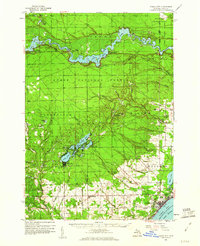
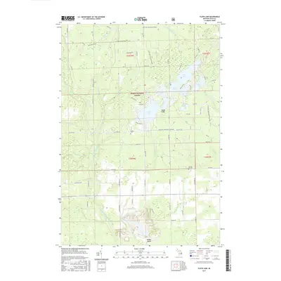
 1989 Floyd Lake1989 Print · USGSIosco County in the late 1980s reveals a lakeside landscape managed for recreation and industry. Researchers can trace family sites at Pioneer Cem, locate the old Strip Mine near White Rock, and explore the shoreline of Sand Lake and Indian Lake.
 - 2012 Map of Floyd Lake, 2012 Print
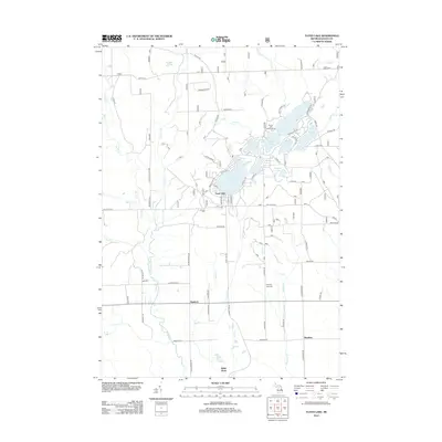 2012 Floyd Lake2012 Print · USGSCovers White Rock, including Wilber Township, Sand Lake, and other nearby areas
 - 2014 Map of Floyd Lake, 2014 Print
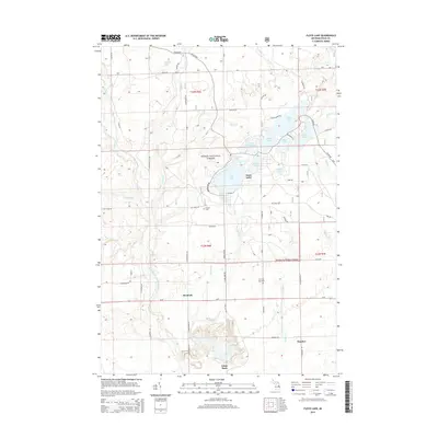 2014 Floyd Lake2014 Print · USGSCovers White Rock, including Wilber Township, Sand Lake, and other nearby areas
 - 2017 Map of Floyd Lake, 2017 Print
 2017 Floyd Lake2017 Print · USGSCovers White Rock, including Wilber Township, Sand Lake, and other nearby areas
 - 2019 Map of Floyd Lake, 2019 Print
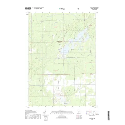 2019 Floyd Lake2019 Print · USGSCovers White Rock, including Wilber Township, Sand Lake, and other nearby areas
 - 2023 Map of Floyd Lake, 2023 Print
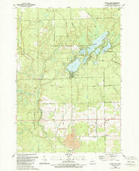
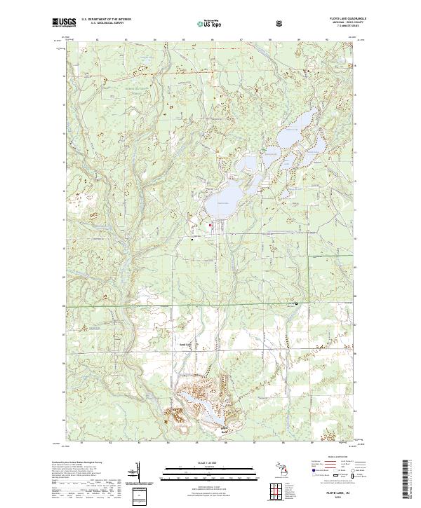 2023 Floyd Lake2023 Print · USGSIosco County’s forested lake country is shown here in the 2020s, highlighting the interconnected waterways and timberlands within the Huron National Forest. Researchers can trace local lineage and land use through landmarks like Pioneer Cem, the settlement of White Rock, and the many landings along Sand Lake.
End of results
Showing maps 1-10 of 10
Top cities near White Rock
- East Tawas historical maps
- Tawas City historical maps
- Au Gres historical maps
- Wilber historical maps
- Alabaster historical maps
- Whittemore historical maps
See more
Frequently asked questions
- What are the different types of historical maps available for White Rock?
- What is the oldest map of White Rock?
- Where can I purchase historical maps of White Rock for my home or office?
- Where can I download high-res historical maps of White Rock?
- Are there historical topographic maps available for White Rock?
- Is there historical aerial imagery available for White Rock?
- Where are historical maps of White Rock sourced from?