2020s Maps of Wilber Township, Michigan
Explore 6 historic maps of Wilber Township from the 2020s. These maps offer a rare glimpse into what life looked like during the 2020s — showing old roads, neighborhoods, homes, and landmarks that have changed or disappeared over time.
Whether you're researching your family's past, planning a metal detecting trip, or studying how Wilber Township's landscape evolved across the 2020s, these high-resolution maps are a powerful tool for exploring the history of this region.
- Focus on a specific era: All maps on this page are from the 2020s, giving you a focused view of this time period.
- See what’s changed: Compare century-old streets, trails, and buildings to today's modern landscape using overlays and satellite layers.
- Research with precision: Use these maps for genealogy, historical research, land use analysis, or educational projects.
- View, download, or print: Maps are fully viewable online in high resolution, and can be downloaded or printed for your own records.
Start exploring Wilber Township's history through authentic maps from the 2020s. This is your window into the past.
Wilber Township, MI maps
(6)- 2023 Map of Floyd Lake, 2023 Print
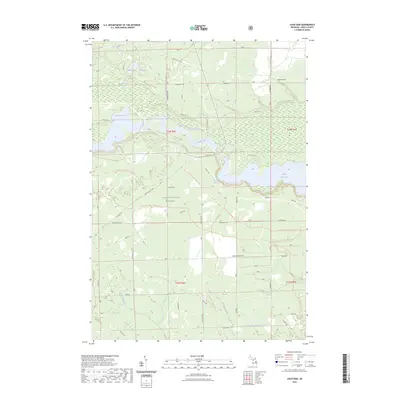
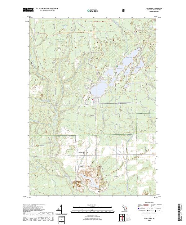 2023 Floyd Lake2023 Print · USGSIosco County’s forested lake country is shown here in the 2020s, highlighting the interconnected waterways and timberlands within the Huron National Forest. Researchers can trace local lineage and land use through landmarks like Pioneer Cem, the settlement of White Rock, and the many landings along Sand Lake.
 - 2023 Map of East Tawas, 2023 Print
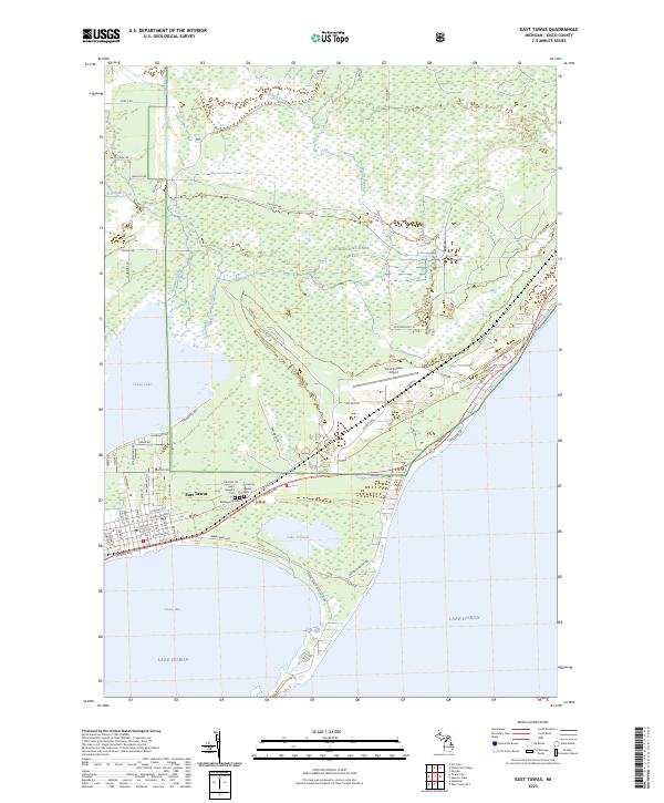 2023 East Tawas2023 Print · USGSThe Lake Huron coastline and the edge of the northern woods meet here in the early twenty-first century. Genealogists and local researchers can trace burial records at Saint Joseph's Cem or Greenwood Cem and explore the area around Tawas Lake.
 - 2023 Map of Tawas City, 2023 Print
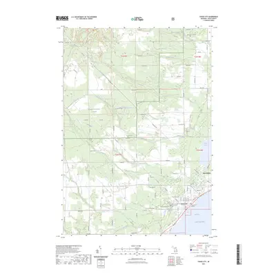 2023 Tawas City2023 Print · USGSThe Lake Huron shoreline meets the deep woods of the Michigan forest in the early 2020s. Genealogists can trace several burial sites including Poor Farm Cem and Laidlaw Cem, or follow trails like the Michigan Shore to Shore Tawas Trl.
 - 2023 Map of Sid Town, 2023 Print
 2023 Sid Town2023 Print · USGSIosco County’s forested riverlands are captured here in the early twenty-first century as the area serves as a hub for recreational trekking. Trail enthusiasts and local historians can trace the paths of the Mi Shore to Shore Horse & Hike Trl and the complex Corsair Trails Trl near Cooke Dam Pond.
 - 2023 Map of Foote Site Village, 2023 Print
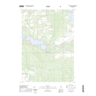 2023 Foote Site Village2023 Print · USGSIosco County, Michigan, is depicted here in the early 2020s as a landscape of managed waterways and vast national forest tracts. Researchers can trace the banks of the Au Sable River, locate the Chippewa Cem, and explore the rural layout of Wilber and Foote Site Village.
 - 2023 Map of Loud Dam, 2023 Print
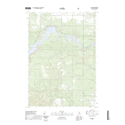
 2023 Loud Dam2023 Print · USGSIosco County’s forested river corridor is captured in the modern era as a hub for both energy and recreation. Researchers can trace the extensive Au Sable River impoundments and a maze of trails like the Channels Trl and Iargo Springs.
End of results
Showing maps 1-6 of 6
Top cities near Wilber Township
- East Tawas historical maps
- Tawas City historical maps
- Greenbush historical maps
- Mikado historical maps
- Wilber historical maps
- Alabaster historical maps
Top neighborhoods of Wilber Township
Frequently asked questions
- What are the different types of historical maps available for Wilber Township?
- What is the oldest map of Wilber Township?
- Where can I purchase historical maps of Wilber Township for my home or office?
- Where can I download high-res historical maps of Wilber Township?
- Are there historical topographic maps available for Wilber Township?
- Is there historical aerial imagery available for Wilber Township?
- Where are historical maps of Wilber Township sourced from?