Old Maps of Vernon Township, Michigan for Genealogy
Trace your family roots with 19 historic maps of Vernon Township. These high-res maps reveal old neighborhoods, homesites, landmarks, and streets — helping you uncover where your ancestors lived and how the area evolved over time.
- Explore historic neighborhoods: Identify where your relatives may have lived in the 1800s or 1900s.
- Compare maps over time: Trace the changes in streets, buildings, and landmarks for multi-generational research.
- Perfect for genealogy & ancestry research: Used by family historians and researchers to map out lineage and migration.
These maps are an incredible resource for exploring your personal connection to Vernon Township's past.
Vernon Township, MI maps
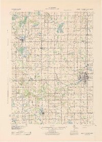
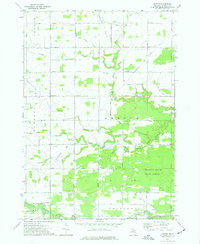
(19)- 1916 Map of Mount Pleasant
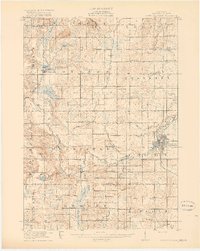 1916 Mount Pleasant1916 Print · USGSCovers Vernon Township, including Mount Pleasant, Lake Isabella, and other nearby areas2 unique versions available
 - 1919 Map of Mount Pleasant
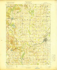 1919 Mount Pleasant1919 Print · USGSCovers Vernon Township, including Mount Pleasant, Lake Isabella, and other nearby areas2 unique versions available
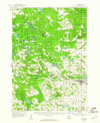
 - 1930 Map of Shepherd
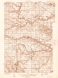 1930 Shepherd1930 Print · USGSCovers Vernon Township, including Mount Pleasant, Wise, and other nearby areas3 unique versions available
 - 1936 Map of Shepherd
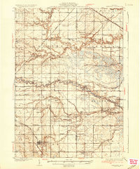 1936 Shepherd1936 Print · USGSCovers Vernon Township, including Mount Pleasant, Wise, and other nearby areas2 unique versions available
 - 1943 Map of Mount Pleasant
 1943 Mount Pleasant1943 Print · USGSCovers Vernon Township, including Mount Pleasant, Lake Isabella, and other nearby areas
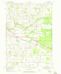
 - 1954 Map of Midland, 1967 Print
 1954 Midland1967 Print · USGSCovers Vernon Township, including Grand Rapids, Midland, and other nearby areas4 unique versions available
 - 1958 Map of Midland
 1958 Midland1958 Print · USGSCovers Vernon Township, including Grand Rapids, Midland, and other nearby areas
 - 1959 Map of Midland
 1959 Midland1959 Print · USGSCovers Vernon Township, including Grand Rapids, Midland, and other nearby areas
 - 1959 Map of Clare, 1960 Print
 1959 Clare1960 Print · USGSCovers Vernon Township, including Clare, Hatton, and other nearby areas2 unique versions available
 - 1966 Map of Midland
 1966 Midland1966 Print · USGSCovers Vernon Township, including Grand Rapids, Midland, and other nearby areas
 - 1969 Map of Loomis, 1972 Print
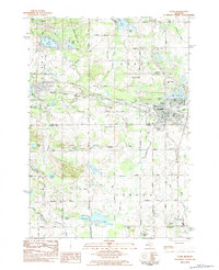
 1969 Loomis1972 Print · USGSCovers Vernon Township, including Clare, Sheridan Township, and other nearby areas2 unique versions available
 - 1973 Map of Rosebush, 1976 Print
 1973 Rosebush1976 Print · USGSCovers Vernon Township, including Mount Pleasant, Rosebush, and other nearby areas
 - 1973 Map of Leaton, 1977 Print
 1973 Leaton1977 Print · USGSCovers Vernon Township, including Wise, Denver Township, and other nearby areas
 - 1983 Map of Clare, 1984 Print
 1983 Clare1984 Print · USGSCovers Vernon Township, including Clare, Farwell, and other nearby areas
 - 1984 Map of Midland, 1985 Print
 1984 Midland1985 Print · USGSCovers Vernon Township, including Midland, Mount Pleasant, and other nearby areas2 unique versions available
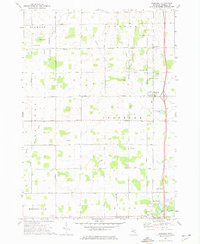
 - 2023 Map of Leaton, 2023 Print
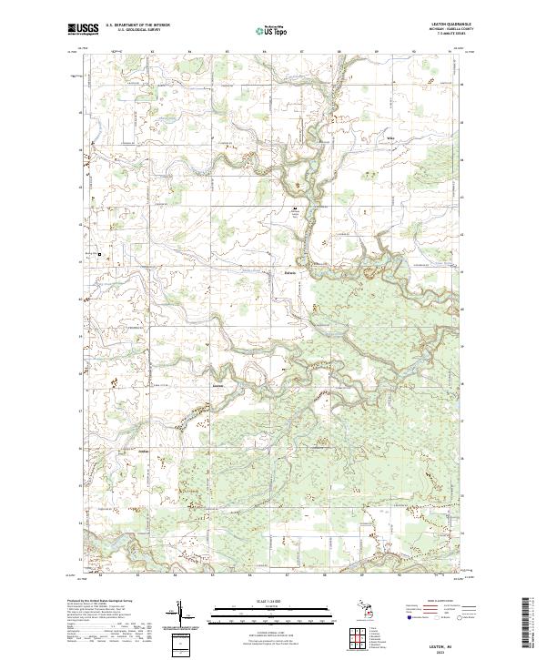 2023 Leaton2023 Print · USGSCovers Vernon Township, including Wise, Union Charter Township, and other nearby areas
 - 2023 Map of Loomis, 2023 Print
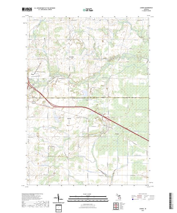 2023 Loomis2023 Print · USGSCovers Vernon Township, including Clare, Sheridan Township, and other nearby areas
 - 2023 Map of Clare, 2023 Print
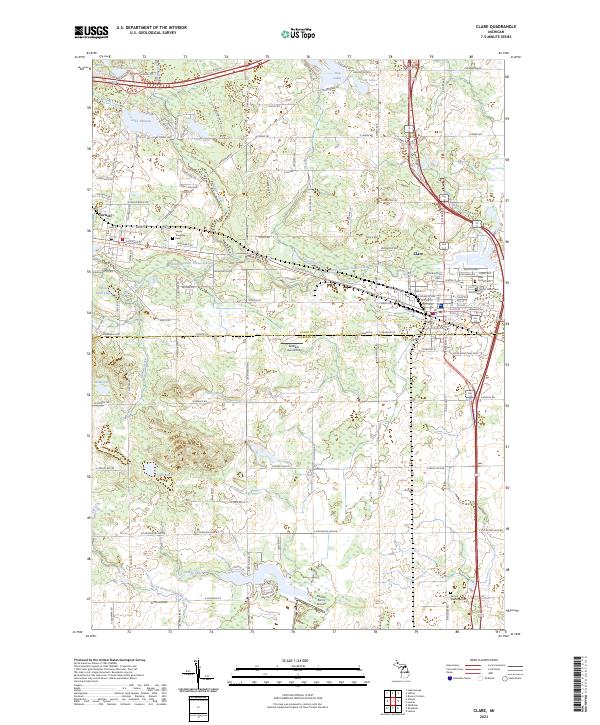 2023 Clare2023 Print · USGSCovers Vernon Township, including Clare, Farwell, and other nearby areas
 - 2023 Map of Rosebush, 2023 Print
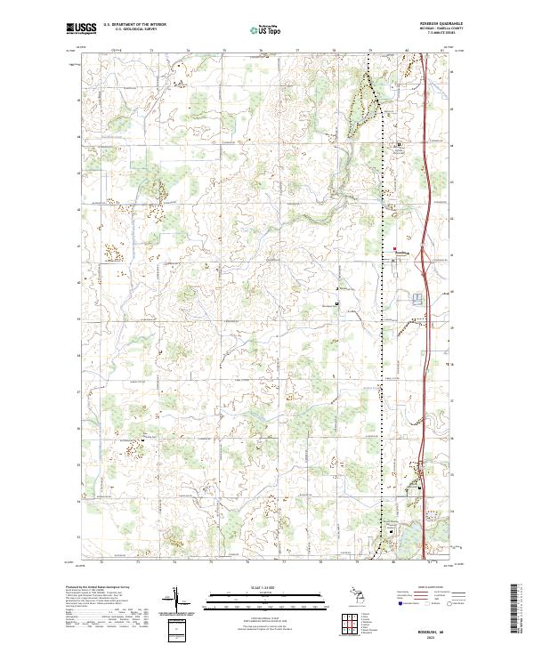 2023 Rosebush2023 Print · USGSCovers Vernon Township, including Mount Pleasant, Rosebush, and other nearby areas
End of results
Showing maps 1-19 of 19
Top cities near Vernon Township
- Mount Pleasant historical maps
- Clare historical maps
- Wise historical maps
- Coleman historical maps
- Lake Isabella historical maps
- Hatton historical maps
See more
Frequently asked questions
- What are the different types of historical maps available for Vernon Township?
- What is the oldest map of Vernon Township?
- Where can I purchase historical maps of Vernon Township for my home or office?
- Where can I download high-res historical maps of Vernon Township?
- Are there historical topographic maps available for Vernon Township?
- Is there historical aerial imagery available for Vernon Township?
- Where are historical maps of Vernon Township sourced from?