Old Maps of Columbia Township, Michigan for Metal Detecting
Plan your next treasure hunt with 32 historic maps of Columbia Township. Find old homesites, ghost towns, trails, and gathering spots that may be lost to time — perfect for identifying promising metal detecting locations.
- Locate forgotten sites: Uncover places like long-lost settlements, abandoned rail lines, or gathering spots.
- Plan better hunts: Use map overlays combined with LiDAR or satellite views to narrow in on historically rich areas.
- Made for detectorists: Thousands of hobbyists use these maps to discover relics, coins, and hidden history.
Use these historic maps to boost your research and find new opportunities beneath the surface of Columbia Township.
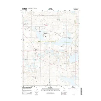
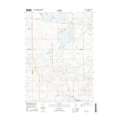
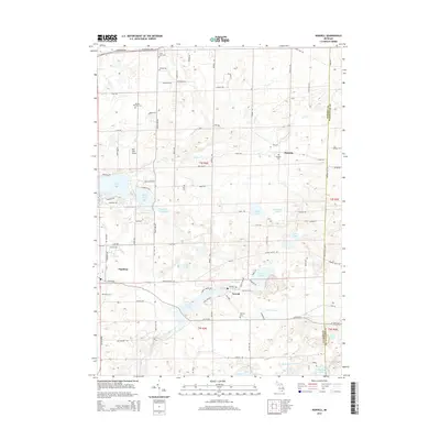
Columbia Township, MI maps
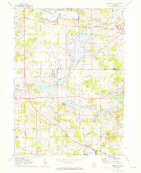
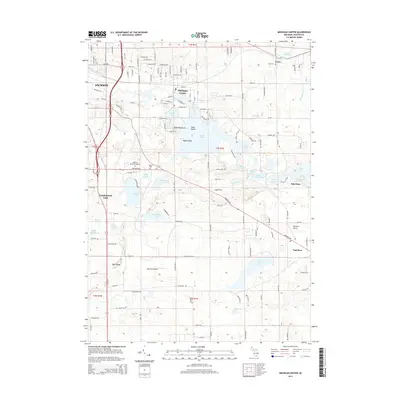
(32)- 1935 Map of Jackson
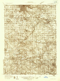 1935 Jackson1935 Print · USGSThe rail and river networks of south-central Michigan are captured here in the mid-1930s as the area transitioned between agricultural roots and industrial growth. Genealogists can locate numerous country schools and landmarks like Putney Mill, Turkey Hall Sch, and Somerset Center.6 unique versions available
 - 1939 Map of Jackson
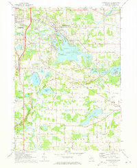
 1939 Jackson1939 Print · USGSJackson and its southern lake country are captured here in the late 1930s, showing a landscape of burgeoning settlements and vital rail lines. Researchers can trace the heritage of local school districts and rural crossroads like Cement City, Somerset Center, and the Turkey Hall Sch.4 unique versions available
 - 1948 Map of Manchester, 1972 Print
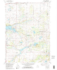
 1948 Manchester1972 Print · USGSManchester and the Irish Hills region are shown here just after the war, when the New York Central rail line still connected these rural townships. Genealogists can trace dozens of local schoolhouses and churches, such as Sharon Hill Sch and North Sharon Ch.2 unique versions available
 - 1949 Map of Manchester
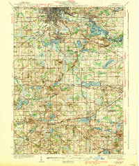
 1949 Manchester1949 Print · USGSSoutheast Michigan in the late 1940s reveals a patchwork of small-town centers and lakeside retreats connected by the New York Central rail line. Genealogists can trace family roots through dozens of local sites like Raymond Cem, Iron Creek Ch, and the McMahon Sch.3 unique versions available
 - 1958 Map of Grand Rapids, 1973 Print
 1958 Grand Rapids1973 Print · USGSSouthern Michigan at the peak of the postwar era shows a landscape of burgeoning cities and new interstate highways. Trace family roots and regional growth in Grand Rapids, Battle Creek, and the glacial lake country around Gun Lake or Gull Lake.2 unique versions available
 - 1961 Map of Grand Rapids
 1961 Grand Rapids1961 Print · USGSSouthern Michigan at the dawn of the 1960s reveals a region shaped by major river systems and a robust rail network. Trace mid-century industrial growth and land use from Grand Rapids to the Fort Custer Military Reservation and Gun Lake.
 - 1962 Map of Grand Rapids
 1962 Grand Rapids1962 Print · USGSMid-century Southern Michigan is mapped here at a time of massive growth, showing the expanding urban footprints of Grand Rapids and Lansing. Researchers can trace the legacy of the Grand Trunk Western RR, find historic boundaries of the Fort Custer Military Reservation, or locate sporting camps around Gun Lake.2 unique versions available
 - 1971 Map of Cement City, 1973 Print
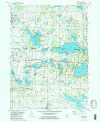
 1971 Cement City1973 Print · USGSThe Irish Hills region in the early seventies shows a community balanced between traditional rail-side industry and growing lakeside recreation. Trace family roots at Sanford Cem, locate the old Penn Central tracks, or find long-standing landmarks like St Rita Ch.2 unique versions available
 - 1971 Map of Michigan Center, 1973 Print
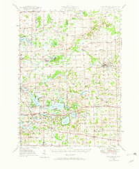
 1971 Michigan Center1973 Print · USGSJackson County’s lake country is captured here in the early seventies, showing the residential expansion around Michigan Center and Leoni. Genealogists and researchers can locate family sites near Roseland Memorial Gardens Cemetery, Ackerson Lake Sch, and the Penn Central rail corridor.
 - 1980 Map of Norvell, 1981 Print
 1980 Norvell1981 Print · USGSThe Jackson County countryside during the late seventies reveals a landscape of lakeside retreats and small-town junctions. Genealogists and local historians can trace family locations near Napoleon, Norvell, and rural landmarks like Long School and Maple Grove Cem.2 unique versions available
 - 1980 Map of Onsted, 1981 Print
 1980 Onsted1981 Print · USGSThe Irish Hills region in the early eighties was a bustling hub of lakefront recreation and automotive racing. Genealogists and local historians can locate Maple Shade Cem, the landmark St Joseph Shrine, and old routes through Brooklyn and Onsted.2 unique versions available
 - 1983 Map of Jackson, 1984 Print
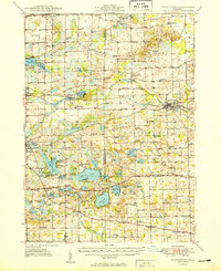
 1983 Jackson1984 Print · USGSJackson and the surrounding lake country are shown in the early eighties as a hub of rail transit and outdoor recreation. Local historians can trace institutional footprints like the State Prison Farm or explore the landscape of Minards Mill and Olivet College.
 - 2011 Map of Cement City, 2011 Print
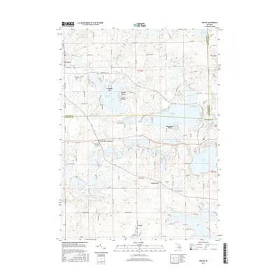
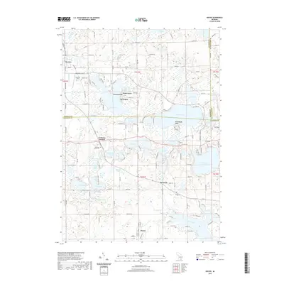
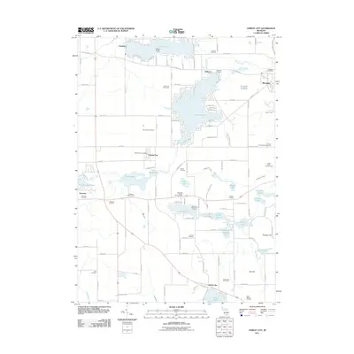 2011 Cement City2011 Print · USGSCovers Columbia Township, including Brooklyn, Cement City, and other nearby areas
 - 2011 Map of Michigan Center, 2011 Print
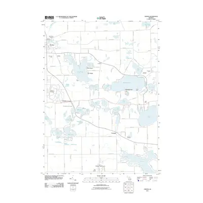
 2011 Michigan Center2011 Print · USGSCovers Columbia Township, including Jackson, Leoni, and other nearby areas
 - 2011 Map of Norvell, 2011 Print
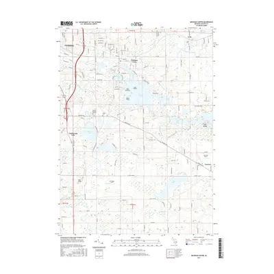
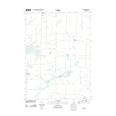 2011 Norvell2011 Print · USGSCovers Columbia Township, including Napoleon, Manchester Township, and other nearby areas
 - 2011 Map of Onsted, 2011 Print
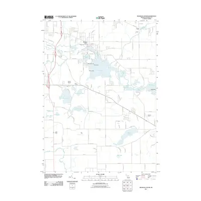
 2011 Onsted2011 Print · USGSCovers Columbia Township, including Manchester Township, Brooklyn, and other nearby areas
 - 2014 Map of Michigan Center, 2014 Print
 2014 Michigan Center2014 Print · USGSCovers Columbia Township, including Jackson, Leoni, and other nearby areas
 - 2014 Map of Onsted, 2014 Print
 2014 Onsted2014 Print · USGSCovers Columbia Township, including Manchester Township, Brooklyn, and other nearby areas
 - 2014 Map of Cement City, 2014 Print
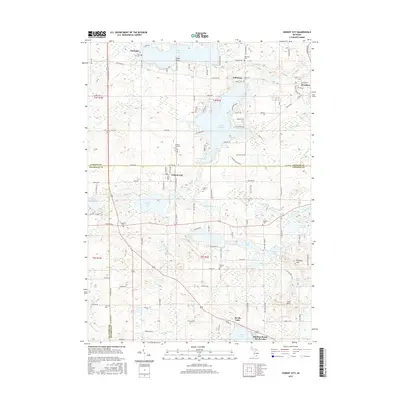
 2014 Cement City2014 Print · USGSCovers Columbia Township, including Brooklyn, Cement City, and other nearby areas
 - 2014 Map of Norvell, 2014 Print
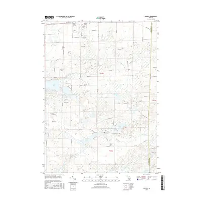
 2014 Norvell2014 Print · USGSCovers Columbia Township, including Napoleon, Manchester Township, and other nearby areas
 - 2017 Map of Onsted, 2017 Print
 2017 Onsted2017 Print · USGSCovers Columbia Township, including Manchester Township, Brooklyn, and other nearby areas
 - 2017 Map of Cement City, 2017 Print
 2017 Cement City2017 Print · USGSCovers Columbia Township, including Brooklyn, Cement City, and other nearby areas
 - 2017 Map of Michigan Center, 2017 Print
 2017 Michigan Center2017 Print · USGSCovers Columbia Township, including Jackson, Leoni, and other nearby areas
 - 2017 Map of Norvell, 2017 Print
 2017 Norvell2017 Print · USGSCovers Columbia Township, including Napoleon, Manchester Township, and other nearby areas
 - 2019 Map of Onsted, 2019 Print
 2019 Onsted2019 Print · USGSCovers Columbia Township, including Manchester Township, Brooklyn, and other nearby areas
Showing maps 1-25 of 32
Top cities near Columbia Township
- Jackson historical maps
- Adrian historical maps
- Leoni historical maps
- Spring Arbor Township historical maps
- Napoleon historical maps
- Vandercook Lake historical maps
See more
Top neighborhoods of Columbia Township
Frequently asked questions
- What are the different types of historical maps available for Columbia Township?
- What is the oldest map of Columbia Township?
- Where can I purchase historical maps of Columbia Township for my home or office?
- Where can I download high-res historical maps of Columbia Township?
- Are there historical topographic maps available for Columbia Township?
- Is there historical aerial imagery available for Columbia Township?
- Where are historical maps of Columbia Township sourced from?