Old Maps of Summit Hills, Michigan for Academic Research
Study the evolution of Summit Hills with 12 high-resolution historic maps. Whether you're teaching, researching, or modeling changes in land use, these maps provide essential visual documentation of urban, environmental, and geographic change.
- Analyze long-term change: Track patterns in development, transportation, and natural features.
- Ideal for environmental or urban studies: Support academic projects with primary historical map data.
- Use in the classroom or lab: Educators and researchers rely on these maps to bring historical context to life.
These maps are a powerful tool for teaching, research, and visualizing how Summit Hills has changed over the decades.
Summit Hills, MI maps
(12)- 1935 Map of Jackson
 1935 Jackson1935 Print · USGSThe rail and river networks of south-central Michigan are captured here in the mid-1930s as the area transitioned between agricultural roots and industrial growth. Genealogists can locate numerous country schools and landmarks like Putney Mill, Turkey Hall Sch, and Somerset Center.6 unique versions available
 - 1939 Map of Jackson
 1939 Jackson1939 Print · USGSJackson and its southern lake country are captured here in the late 1930s, showing a landscape of burgeoning settlements and vital rail lines. Researchers can trace the heritage of local school districts and rural crossroads like Cement City, Somerset Center, and the Turkey Hall Sch.4 unique versions available
 - 1958 Map of Grand Rapids, 1973 Print
 1958 Grand Rapids1973 Print · USGSSouthern Michigan at the peak of the postwar era shows a landscape of burgeoning cities and new interstate highways. Trace family roots and regional growth in Grand Rapids, Battle Creek, and the glacial lake country around Gun Lake or Gull Lake.2 unique versions available
 - 1961 Map of Grand Rapids
 1961 Grand Rapids1961 Print · USGSSouthern Michigan at the dawn of the 1960s reveals a region shaped by major river systems and a robust rail network. Trace mid-century industrial growth and land use from Grand Rapids to the Fort Custer Military Reservation and Gun Lake.
 - 1962 Map of Grand Rapids
 1962 Grand Rapids1962 Print · USGSMid-century Southern Michigan is mapped here at a time of massive growth, showing the expanding urban footprints of Grand Rapids and Lansing. Researchers can trace the legacy of the Grand Trunk Western RR, find historic boundaries of the Fort Custer Military Reservation, or locate sporting camps around Gun Lake.2 unique versions available
 - 1971 Map of Jackson South, 1973 Print
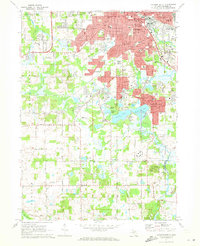 1971 Jackson South1973 Print · USGSJackson and its southern suburbs were expanding during the early 1970s as new campus facilities and parks reshaped the landscape. Researchers can trace local heritage at St Johns Cemetery, Jackson Community College, and the old rail corridor of the Penn Central.3 unique versions available
 - 1983 Map of Jackson, 1984 Print
 1983 Jackson1984 Print · USGSJackson and the surrounding lake country are shown in the early eighties as a hub of rail transit and outdoor recreation. Local historians can trace institutional footprints like the State Prison Farm or explore the landscape of Minards Mill and Olivet College.
 - 2011 Map of Jackson South, 2011 Print
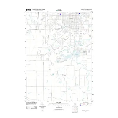 2011 Jackson South2011 Print · USGSJackson and its southern lake districts appear in detail during this early 21st-century period. Genealogists can trace family names across numerous sites including Mount Evergreen Cemetery, Odd Fellows Cemetery, and South Jackson Cemetery.
 - 2014 Map of Jackson South, 2014 Print
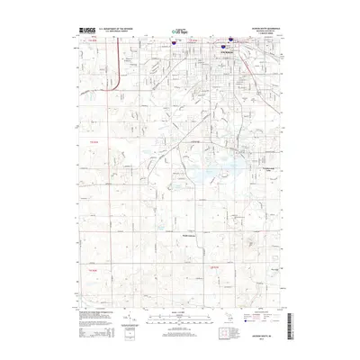 2014 Jackson South2014 Print · USGSJackson and its southern suburbs are shown here in the mid-2010s, capturing the city's transition from an industrial rail hub to a lake-dotted landscape. Genealogists and local historians can locate several major burial sites, including Mt Evergreen Cem and Snyder Cem, alongside the Jackson Station rail yards.
 - 2017 Map of Jackson South, 2017 Print
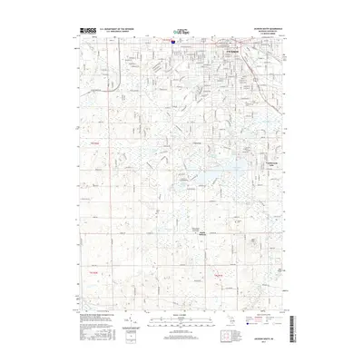 2017 Jackson South2017 Print · USGSJackson and its southern suburbs are captured here during a period of steady growth and local continuity. Genealogists and researchers can locate family plots at Mount Evergreen Cem or trace the early campus of Jackson Coll and the community at Vandercook Lake.
 - 2019 Map of Jackson South, 2019 Print
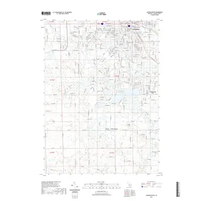 2019 Jackson South2019 Print · USGSThe southern portion of JACKSON and the community of Vandercook Lake are captured here as they appeared in 2019. Researchers can trace family history through several significant sites, including Woodland Cemetery and the Snyder Cemetery near South Jackson.
 - 2023 Map of Jackson South, 2023 Print
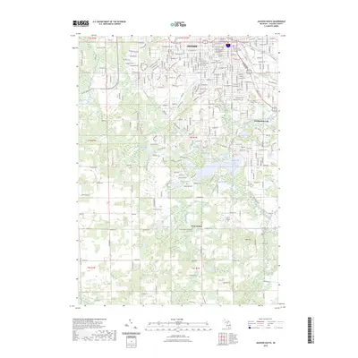 2023 Jackson South2023 Print · USGSJackson and its southern lakefront communities are captured in this recent survey of the region's expanding footprint. Researchers can trace local genealogy and landmarks at Saint John's Catholic Cem, South Jackson Community Church, and Jackson College.
End of results
Showing maps 1-12 of 12
Frequently asked questions
- What are the different types of historical maps available for Summit Hills?
- What is the oldest map of Summit Hills?
- Where can I purchase historical maps of Summit Hills for my home or office?
- Where can I download high-res historical maps of Summit Hills?
- Are there historical topographic maps available for Summit Hills?
- Is there historical aerial imagery available for Summit Hills?
- Where are historical maps of Summit Hills sourced from?