2000s (21st Century) Maps of Tompkins Township, Michigan
Explore 20 historic maps of Tompkins Township from the 2000s (21st Century). These maps offer a rare glimpse into what life looked like during the 2000s — showing old roads, neighborhoods, homes, and landmarks that have changed or disappeared over time.
Whether you're researching your family's past, planning a metal detecting trip, or studying how Tompkins Township's landscape evolved across the 2000s, these high-resolution maps are a powerful tool for exploring the history of this region.
- Focus on a specific era: All maps on this page are from the 2000s, giving you a focused view of this time period.
- See what’s changed: Compare century-old streets, trails, and buildings to today's modern landscape using overlays and satellite layers.
- Research with precision: Use these maps for genealogy, historical research, land use analysis, or educational projects.
- View, download, or print: Maps are fully viewable online in high resolution, and can be downloaded or printed for your own records.
Start exploring Tompkins Township's history through authentic maps from the 2000s. This is your window into the past.
Tompkins Township, MI maps
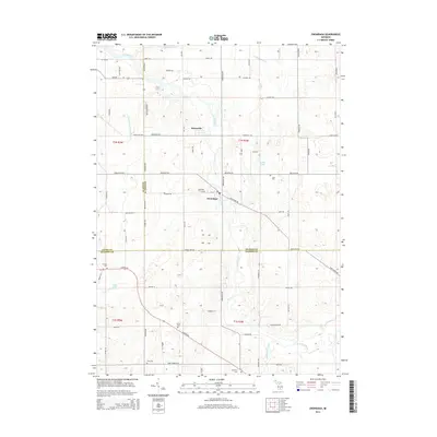
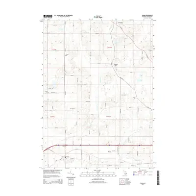
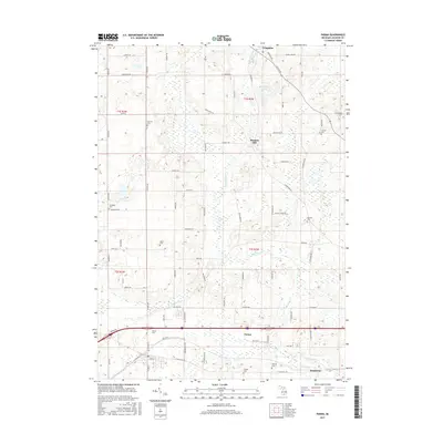
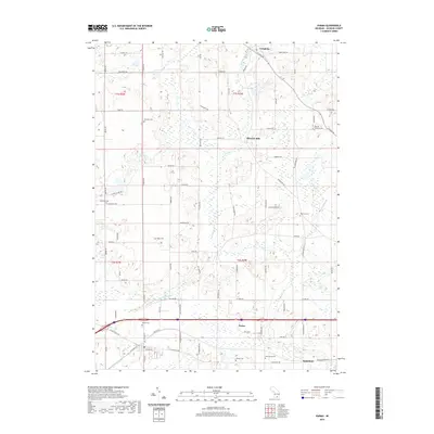
(20)- 2011 Map of Parma, 2011 Print
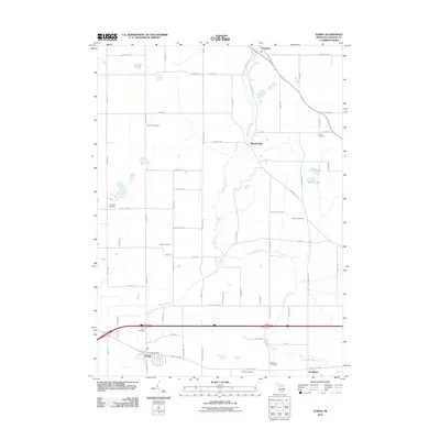 2011 Parma2011 Print · USGSCovers Tompkins Township, including Tompkins, Parma, and other nearby areas
 - 2011 Map of Leslie, 2011 Print
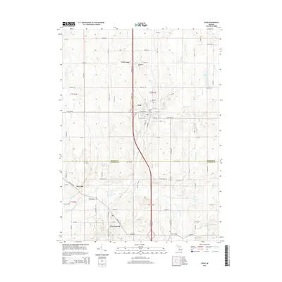
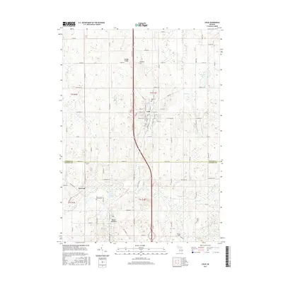
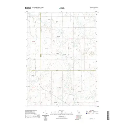
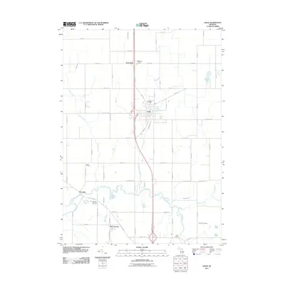 2011 Leslie2011 Print · USGSCovers Tompkins Township, including Leslie, Berryville, and other nearby areas
 - 2011 Map of Onondaga, 2011 Print
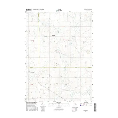
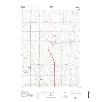
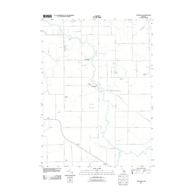 2011 Onondaga2011 Print · USGSCovers Tompkins Township, including Onondaga, Springport Township, and other nearby areas
 - 2011 Map of Jackson North, 2011 Print
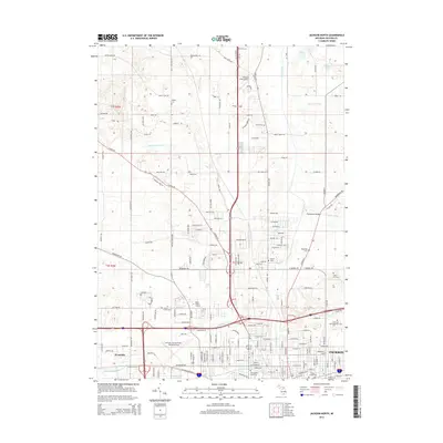
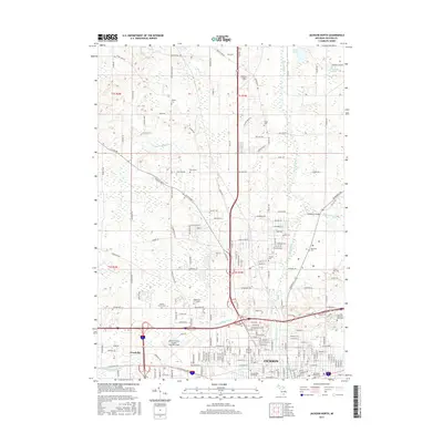
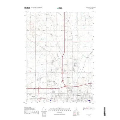
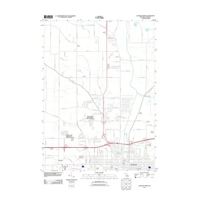 2011 Jackson North2011 Print · USGSCovers Tompkins Township, including Jackson, Blackman Charter Township, and other nearby areas
 - 2014 Map of Onondaga, 2014 Print
 2014 Onondaga2014 Print · USGSCovers Tompkins Township, including Onondaga, Springport Township, and other nearby areas
 - 2014 Map of Jackson North, 2014 Print
 2014 Jackson North2014 Print · USGSCovers Tompkins Township, including Jackson, Blackman Charter Township, and other nearby areas
 - 2014 Map of Parma, 2014 Print
 2014 Parma2014 Print · USGSCovers Tompkins Township, including Tompkins, Parma, and other nearby areas
 - 2014 Map of Leslie, 2014 Print
 2014 Leslie2014 Print · USGSCovers Tompkins Township, including Leslie, Berryville, and other nearby areas
 - 2017 Map of Parma, 2017 Print
 2017 Parma2017 Print · USGSCovers Tompkins Township, including Tompkins, Parma, and other nearby areas
 - 2017 Map of Onondaga, 2017 Print
 2017 Onondaga2017 Print · USGSCovers Tompkins Township, including Onondaga, Springport Township, and other nearby areas
 - 2017 Map of Jackson North, 2017 Print
 2017 Jackson North2017 Print · USGSCovers Tompkins Township, including Jackson, Blackman Charter Township, and other nearby areas
 - 2017 Map of Leslie, 2017 Print
 2017 Leslie2017 Print · USGSCovers Tompkins Township, including Leslie, Berryville, and other nearby areas
 - 2019 Map of Parma, 2019 Print
 2019 Parma2019 Print · USGSCovers Tompkins Township, including Tompkins, Parma, and other nearby areas
 - 2019 Map of Onondaga, 2019 Print
 2019 Onondaga2019 Print · USGSCovers Tompkins Township, including Onondaga, Springport Township, and other nearby areas
 - 2019 Map of Leslie, 2019 Print
 2019 Leslie2019 Print · USGSCovers Tompkins Township, including Leslie, Berryville, and other nearby areas
 - 2019 Map of Jackson North, 2019 Print
 2019 Jackson North2019 Print · USGSCovers Tompkins Township, including Jackson, Blackman Charter Township, and other nearby areas
 - 2023 Map of Leslie, 2023 Print
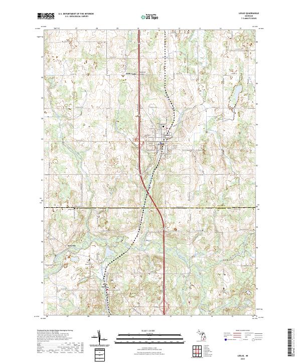 2023 Leslie2023 Print · USGSSouthern Michigan's Ingham and Jackson counties are shown in detail as they appeared in recent years, centered on the historic hub of Leslie. Genealogists and historians can trace rail and river history along the CSX line or the Upper Grand River Water trail, and locate family sites near Rives Junction and East Rives Cem.
 - 2023 Map of Parma, 2023 Print
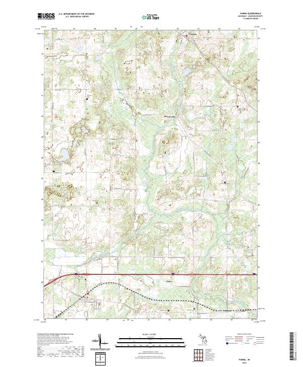 2023 Parma2023 Print · USGSJackson County agriculture and small-town life are preserved in this recent survey of the region. Researchers can trace family history through numerous burial sites like Pherdun Cem and Chapel Cem or explore the settlements of Parma and Minards Mill.
 - 2023 Map of Onondaga, 2023 Print
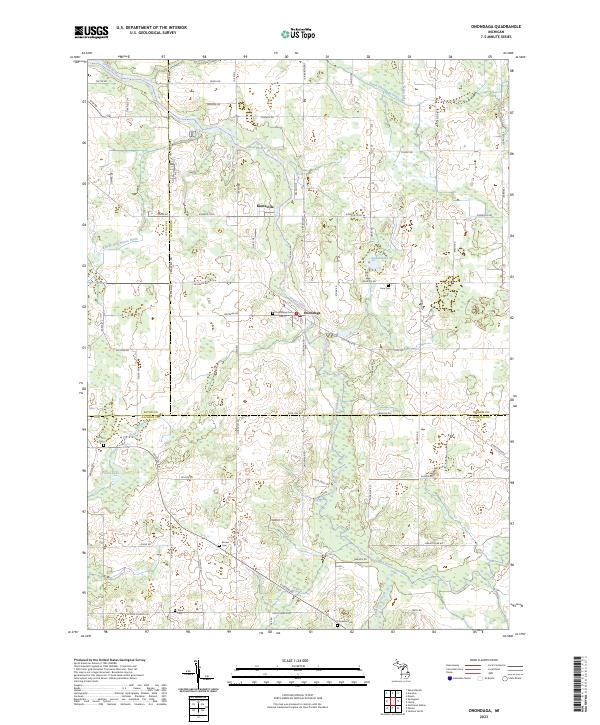 2023 Onondaga2023 Print · USGSThe Grand River valley in south-central Michigan retains its quiet agricultural character at the intersection of three counties. Genealogists and local historians can trace legacy landmarks and rural burial sites like Onondaga Cem, Kinneville, and Pope Cem.
 - 2023 Map of Jackson North, 2023 Print
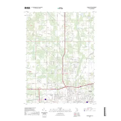 2023 Jackson North2023 Print · USGSJackson and its northern outskirts are captured here during a period of modern expansion. Genealogists and local historians can trace family sites at Draper Cem, Bond Cem, or the namesake Blackman Cem north of the city center.
End of results
Showing maps 1-20 of 20
Top cities near Tompkins Township
- Jackson historical maps
- Albion historical maps
- Spring Arbor Township historical maps
- Mason historical maps
- Eaton Rapids historical maps
- Vandercook Lake historical maps
See more
Top neighborhoods of Tompkins Township
Frequently asked questions
- What are the different types of historical maps available for Tompkins Township?
- What is the oldest map of Tompkins Township?
- Where can I purchase historical maps of Tompkins Township for my home or office?
- Where can I download high-res historical maps of Tompkins Township?
- Are there historical topographic maps available for Tompkins Township?
- Is there historical aerial imagery available for Tompkins Township?
- Where are historical maps of Tompkins Township sourced from?